Momentous Adventures: Big South Fork’s J+D Loop
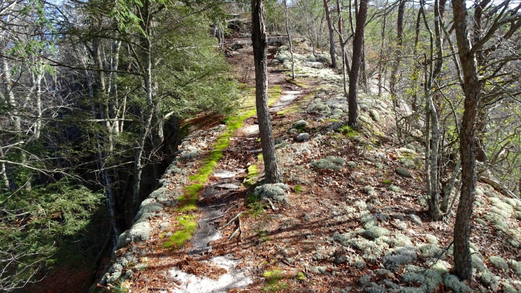
Great ridge top hiking near the JMT Overlook!
Need a backpacking trip where you get away from the crowds? Try this 55 mile loop and you will discover more animal prints than signs of humans. You will traverse high cliffs, beveled rock shelters and skirt the amazing creeks that crisscross this Wilderness. The J+D loop follows the John Muir TR. (No, the other one!) and the Sheltowee TR. named for D. Boone. Anyway you slice it, this a great trip full of awesome creeks, views from steep ledges on high and wildlife. Get your paws on a good map (I used the National Geographic, but it has no mileages on it?). So, see if you can find a better map if you can, one built for hiking. DO NOT attempt any big trips in this area without a decent map, most trails are not marked with the names, but rather creeks or points of interest. Also, make sure you check the weather for serious rainstorms because you will be crossing quite a few creeks along your way. Start the trip at the Bandy Campground where you can buy a backcountry permit, it is only $5 for 5 days! Start out by the pool and head out on the John Litton Farm Tr, take the right split. Hike this rolling trail past some nice falls and camp up to the John Muir Tr. where you make a left and begin a steady, but easy climb above Big South Fork. If you were so inclined, you could pack some extra water and stay up here, there are nice camps perched above the River. Or, if you need a shorter day because of the drive or whatnot, this is your best bet for a quality spot. If you’ve got some extra juice, head down to the river on a nicely grated trail where nice camps can be found on. When you spy the bridge over Station Creek, look to your left where a small unnamed creek is poetically cascading down the hillside with a marvelously cozy camp next to it. Shack up here to finish out this 15.6 mile day.
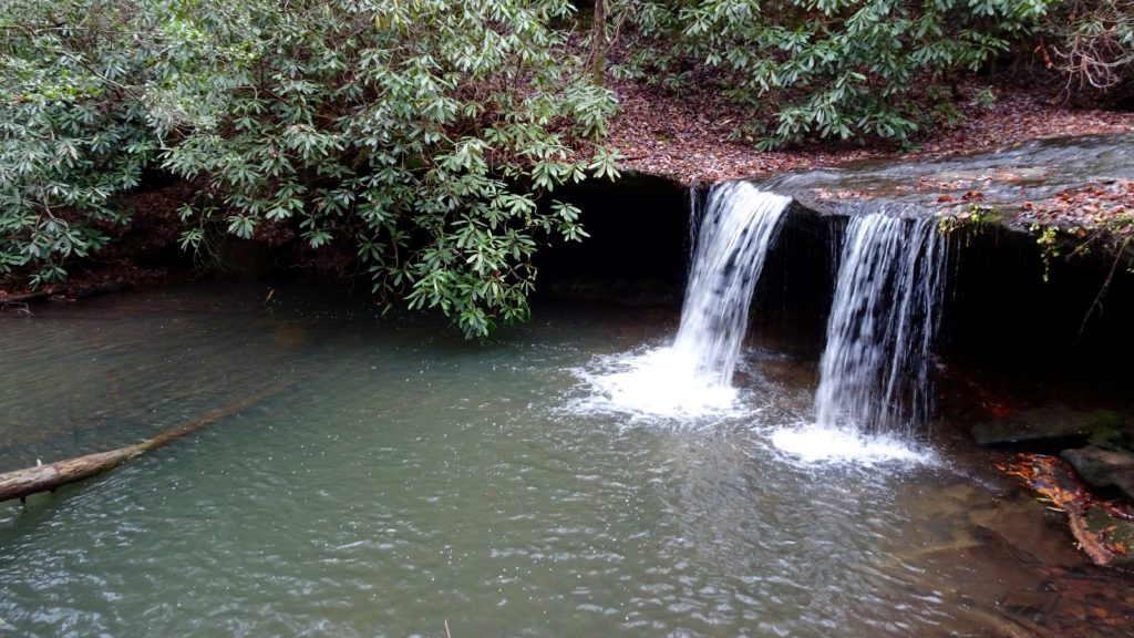
Falls Creek Falls
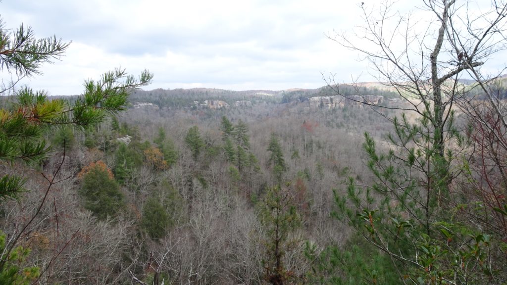
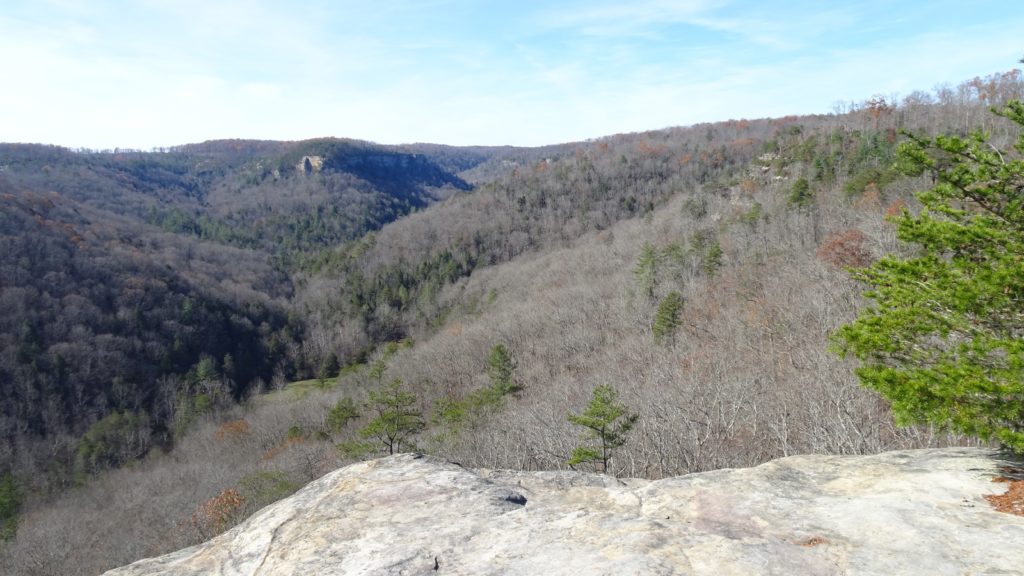
Above Big South Fork as it winds far below
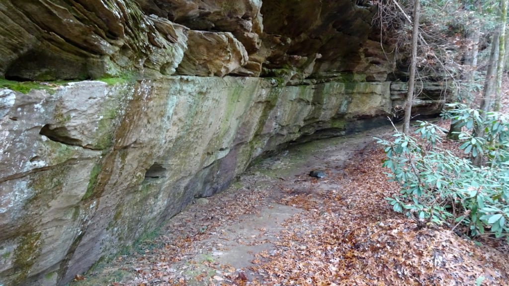
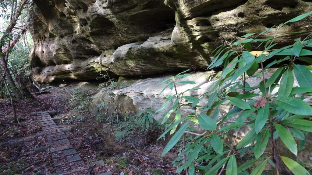
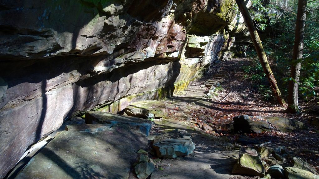
Enjoy a taste of the ocean floor with beautiful sandstone rock ledges
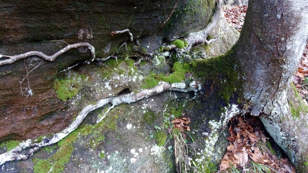
Birch roots wrap around a ledge for stability
The next day, finish dropping down to South Fork River and follow the trail as it heads north along it’s banks. Keep an eye left for the hikers trail, as it periodically merges with another tread built for horses. Don’t be alarmed though, both trails lead in the same direction, at least for a few miles. At a signed intersection, stay left and follow the J.M.T as it contours a holler and climbs next to some dramatic cliffs where a slot in the crags can be found called Maude’s Crack. There is supposed to be a side trail leading to an overlook on the left, but I never saw it. Next, travel next to No Business Creek and the shells of buildings that once made up this town and ponder what it would be like living out here back in the day. A couple of switchbacks and a bit of traversing lead you to the John Muir Overlook, a lovely spot for a lunch break. The next section along the Chestnut Ridge is quite nice, with great views and steep cliffs trail side, watch your step. The trail slowly meanders down to Alder Creek and crosses Divide Rd. before joining Massey Branch and makes a hard left by some rock shelves to meet up with the Sheltowee, make that left going south. At long last, find a fantastic camp complete with rock chairs next to Massy, take the camp it is the only one I saw in this area.
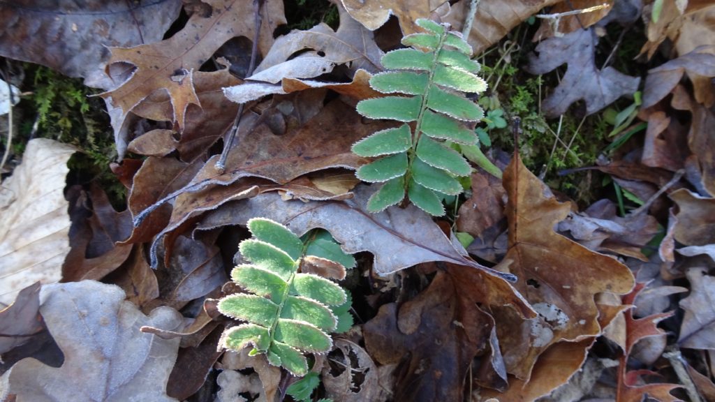
Icy fern fronds
The Sheltowee!
No Business Creek
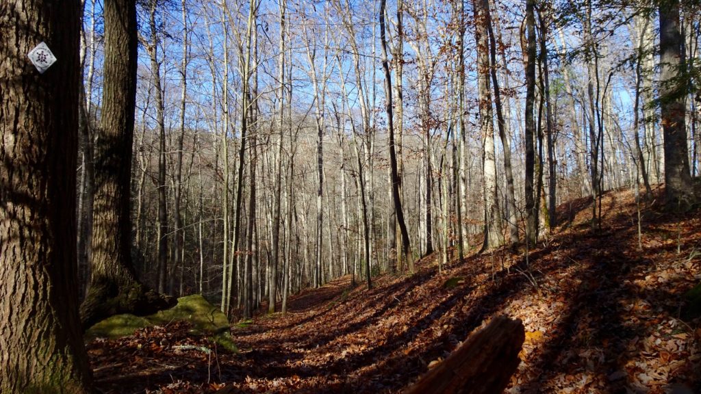
JMT Overlook
Mossy!
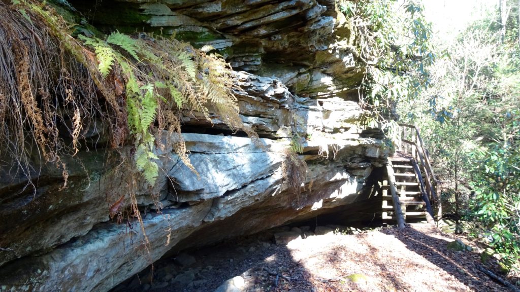
Lots of rock outcroppings to explore
Lovely late afternoon light
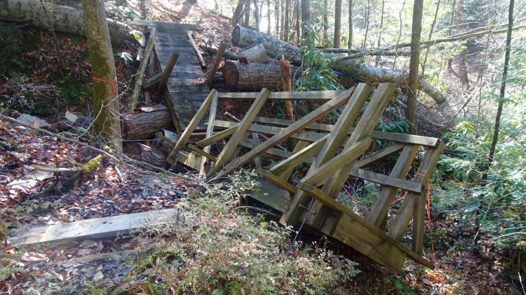
Seen better days
After a great night’s sleep, continue to an intersection where the J.M.T. breaks off to the right and continue left. Shortly afterwards, get to a split with the Hidden Passage TR. and take it as it takes off to the right. True, I didn’t take this trail but compared to the 15 mind numbingly boring creek crossing you will skip if you take it before it gets to HWY. 154, I say it’s worth it. Anyway you go will lead you out to the HWY, so make that left when you hit it and follow it up and down as it makes it’s way back to Divide Rd. where you make a left. Middle Creek TH is on your right, get on the trail to a split and go left following the hiking only icon on the sign. You will start to make your way downhill gently to a Indian House Rock, which is a stout iconic rock shelter that looks like a castle. Take a stroll around this area before staying right past Sawmill and Slave Falls intersection, still following the hiking only icon. About this time, you are looking to find a nice camp huh? Well, shortly after these intersection, the tread drops down to Laurel Fork where a horse camp can be found right before a crossing. Suck it up and cross Laurel and stay to the left following to the Creek to a fantastic primitive camp on it’s winding banks. After a great night sleep, get and cruise a short distance to another crossing. Start now a series of 5 or so creek crossings, if you have some sandals, just keep em’ on through this mundane section. Keep left past Yellow Cliff TR. and then a hard left up a small hill to follow the hiker only trail on the right through the wooden horse gate (stay off of our trail you bastards!) Keep following the hiker only icon back to the Bandy Creek and go through the open field back to your car. Sit back and relish in the true wilderness that you have experienced as you jam out to some good tunes, silently plotting your next South Fork adventure.
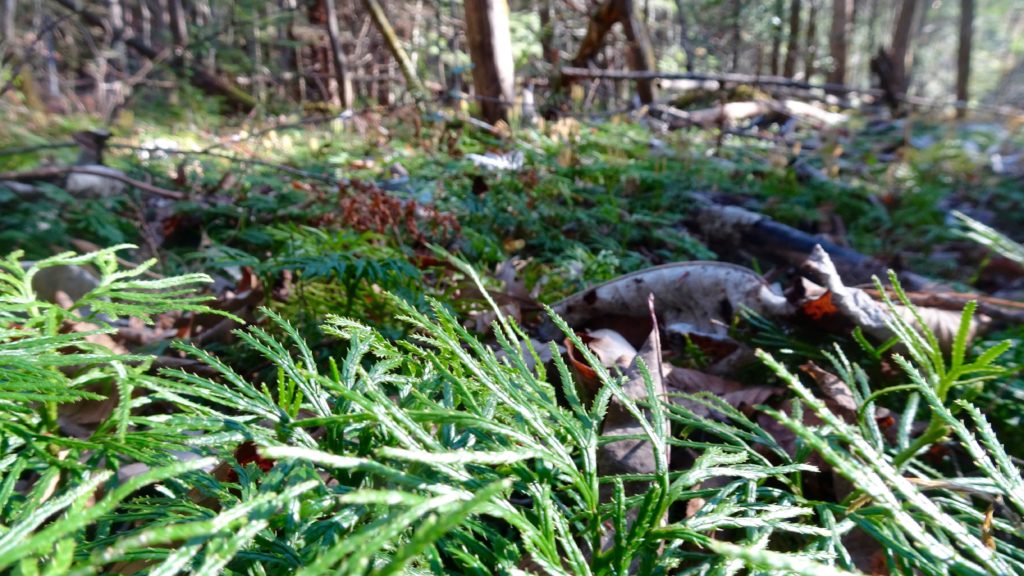
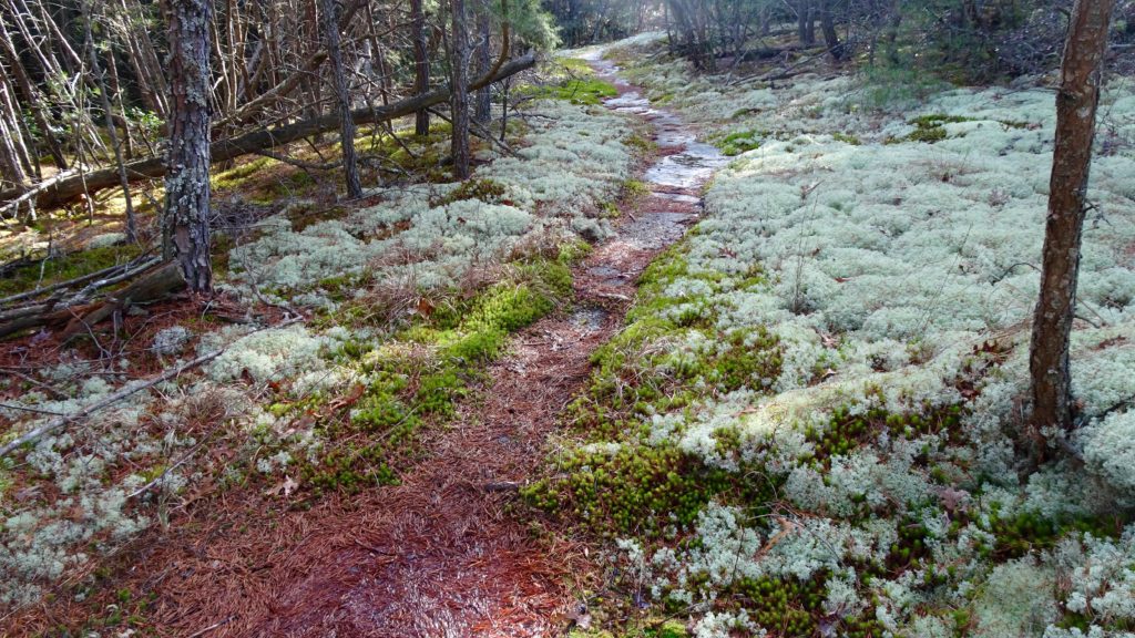
A sea of Ground Cedars
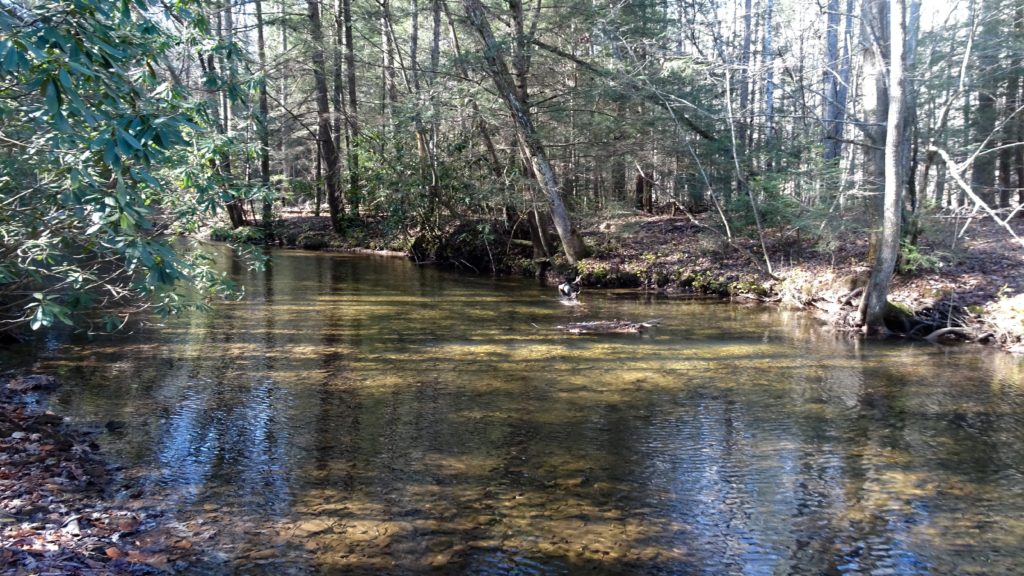
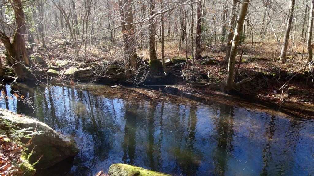
Morning light on Middle Creek
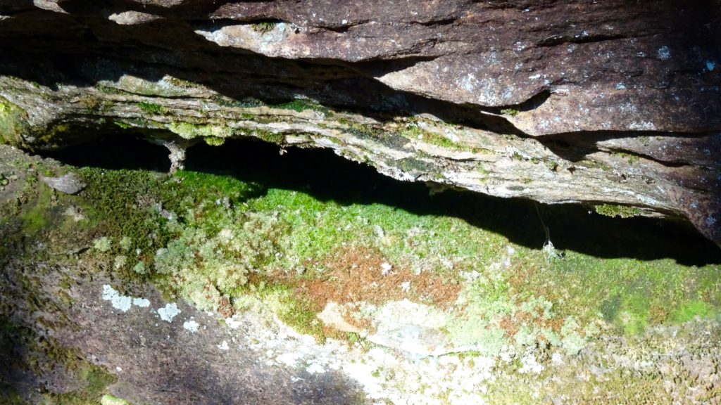
Like layers of sand on the ocean’s floor, now covered with colorful mats of moss
Have fun!