Timeless Trails-The old Washingon Cascade Crest Trail
Ha!
The first southern route of the CCT followed trails probably made by the Mountaineers around 1919 to get to their lodge at Lodge Lake, and past that, followed their trail from the lodge towards Rockdale station. The first northern route of the CCT, in 1938, went up Commonwealth Creek to Red Pass, and down to Goldmeyer, and then east up the Middle Fork to Dutch Miller Gap, and then south to Waptus Lake. By 1962, a guide book suggested getting to the Middle Fork via the Snow Lake trail, and down Rock creek, with the original Red Pass route as an alternative (since the trail just north of Red Pass is dangerous to travel on until the snow melts… in August).
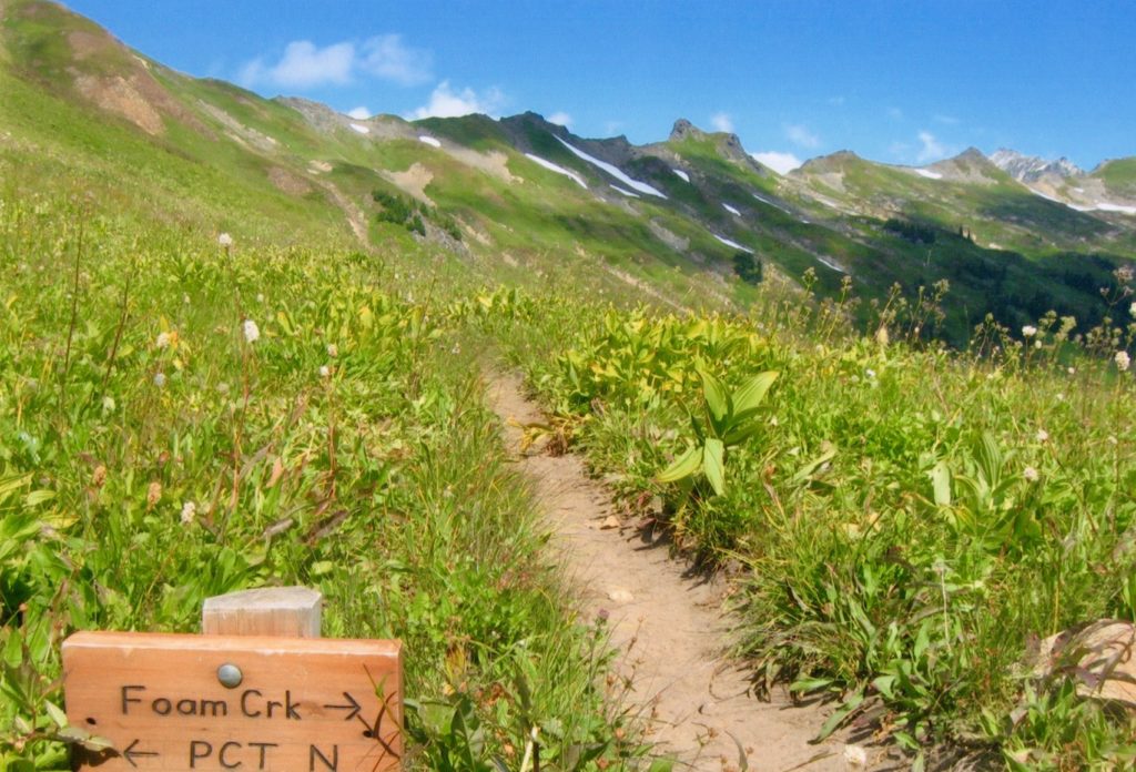
Some new signs up there too
Then in the 70s, the Snow Lake route was thought of as the “new PCT route” and Red Pass was the “old CCT route”. You can still see some of the evidence of the old trail at Red Pass, like a couple of old signs scattered on the ground. In the early 1930s, mapping of the existing trails was sparse, and the new crest trail would require extensive field work to locate and map the best routes. The existing 445-mile Cascade Crest Trail in Washington, the 440-mile Skyline Trail in Oregon, and the 185-mile John Muir Trail in the Sierra Nevada were some of the well-established routes that were chosen to be incorporated into the Pacific Crest Trail. When you hike this Glacier Peak section, it feels like you are traveling on a classic track, rather than a normal wilderness trail. There is miles and miles of open meadow between Reflection Pond north to Fire Creek Pass with stunning mountain vistas.
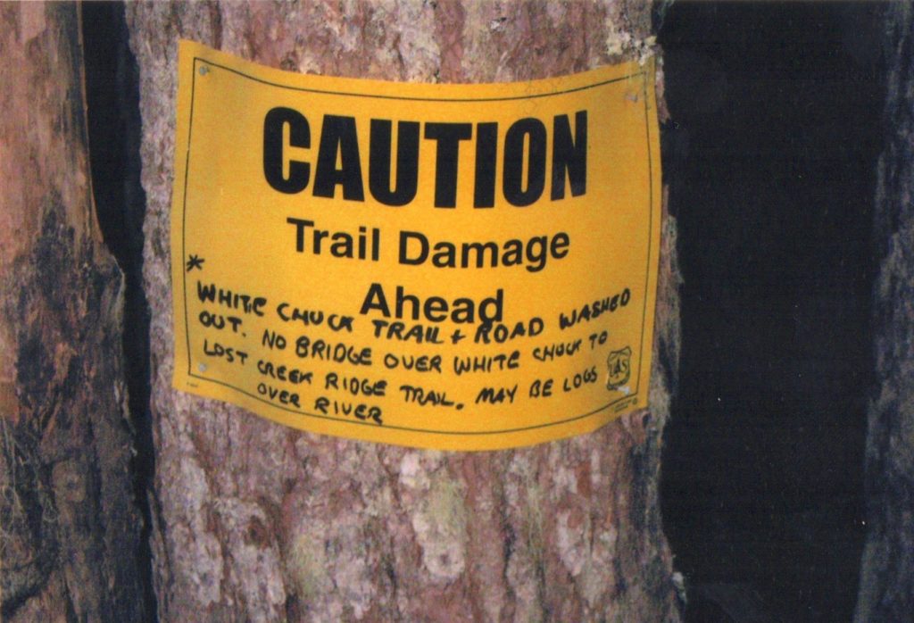
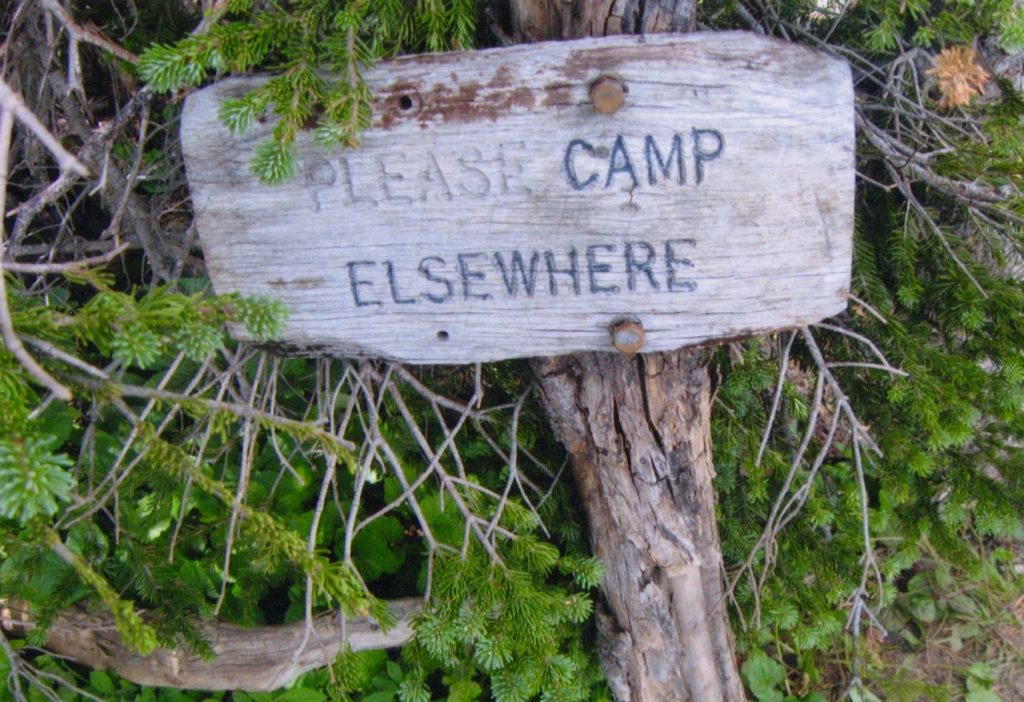
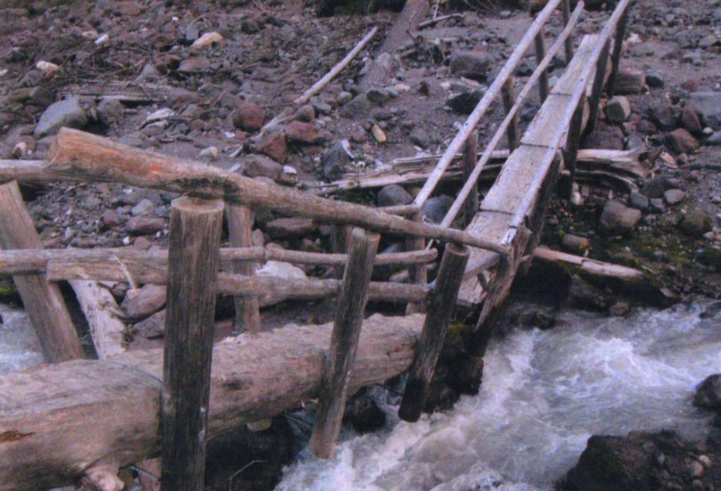
The PCT and lots of other trails have seen better days
No Thanks!