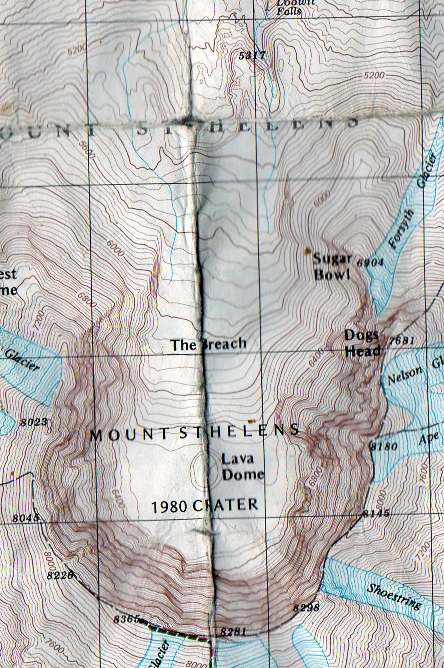
Topo Tips #2
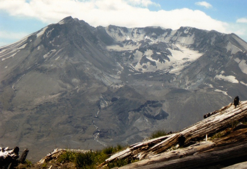
In honor of the May eruption of Mt. St Helens in 1980, I have put together this Topo Tip about the Breach. You can see the steep walls of the crater surrounding the new Lava Dome and the glacier that now surrounds it. Incidentally, this is the only glacier in North America that is growing and not retreating, but looking at the dramatic walls on three sides it is easy to see how icy and cold this dark pit could be. Now, looking at the Breach on the north side of the mountain, you can see the channel that the mud slide followed as it careened down the slope forming the rocky wasteland that the Loowit Trail traverses today. The Monument has plans to open up a trail that will overlook this carnage, but a route is still being decided. One would suspect that you could walk into the Crater by way of the Breach, and you probably could, but the area has been off limits to hikers since the eruption and it would be extremely dangerous due to rock fall. Traveling on the Loowit Trail you can see some of the Hummocks, mounds of debris, all around down slope where the mud was deposited and overlook Spirit Lake where thousands of trees flout cryptically after being flung from the lateral blast. If you have not spent much time on the north side of the Mountain, you should try the Boundary Trail that leads from the Johnston Ridge Observatory and follows a high ridge overlooking the Crater. Or commit to the whole Loowit Trail, a 34 mile loop that circles the Mountain and shows you all her faces from rugged lava fields, old growth stands and a fantastic flower display in July, this loop has it all!
A look inside the Crater
Inside the Crater from the north on the Boundary Trail
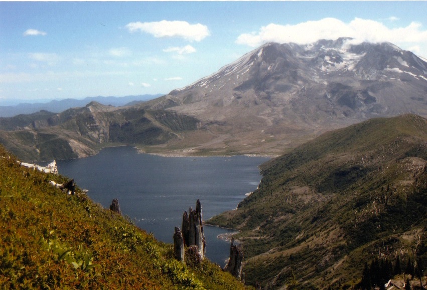
Spirit Lake
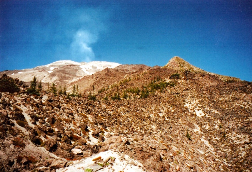
The Mountain from the west side
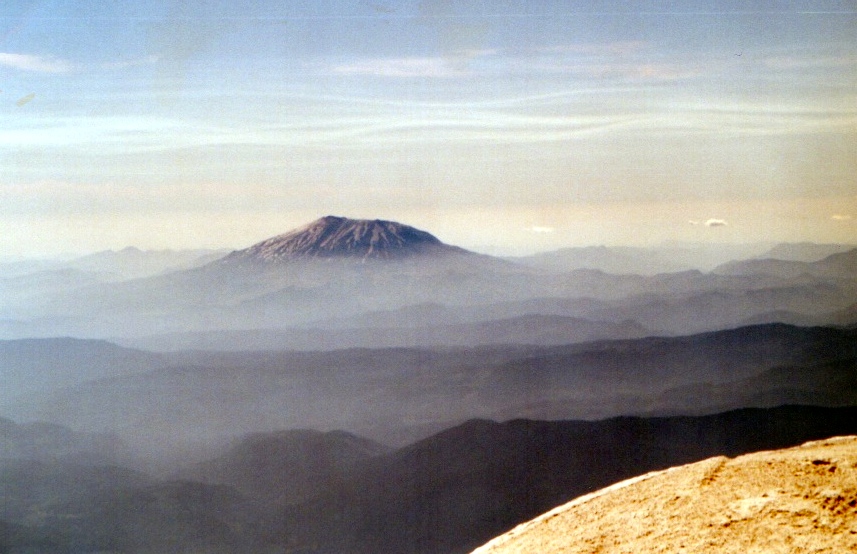
The Mountain from the summit of Mt. Adams in the east