Momentous Adventures-(Big Spring Falls to the Southern Terminus
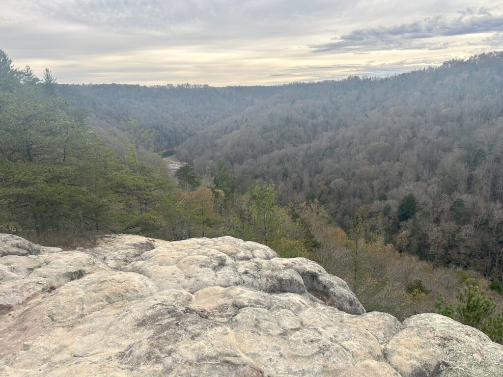
John Muir Overlook
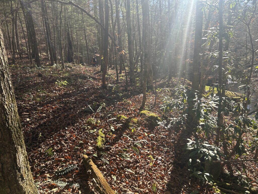
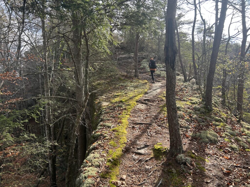
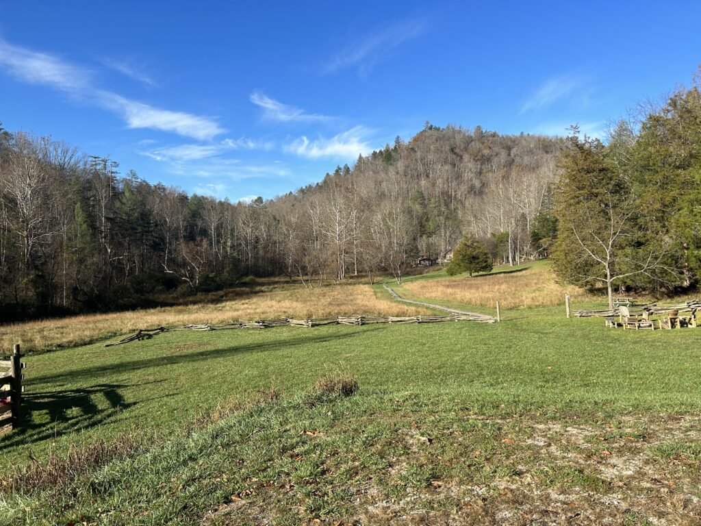
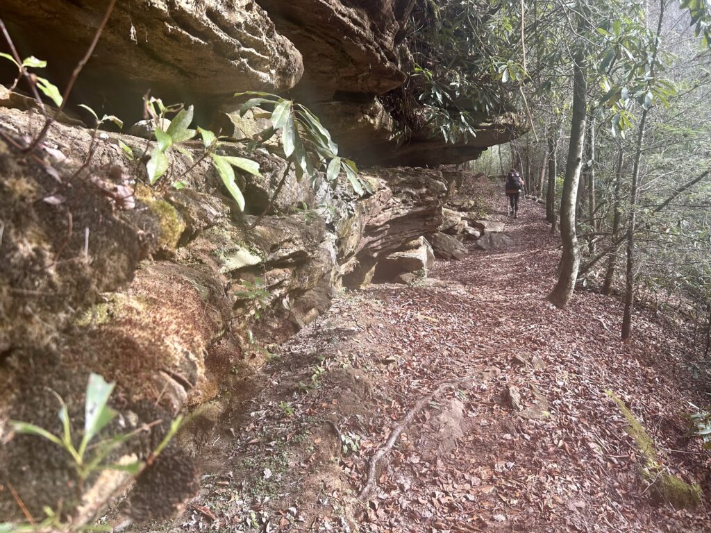
After a nice long night’s sleep, it’s time to get going to see the rest of this marvelous section. Before long begin to drop down to Laurel Crossing Creek before getting to the Ledbetter TH. After walking on a road for a tiny bit go back to proper trail and descend down to meet the Cumberland River again along a steep drainage. This lonely stretch of trail has always had a more remote feel to it the couple of times I have been along it. Check out the interesting Oil Well Branch’s human impact before heading uphill Lone Creek Branch. Meet the Stepping Rock TR which is an important connector trail to Beech Grove Rd which can be utilized to link together great loop trips in the Kentucky side of the Park. Now it’s time for one of the my favorite stretches of the Sheltowee, the Troublesome/Difficulty thru Rock Creek section. Start by traveling along Troublesome as the cliff lines get more dramatic with seemingly every step. It feels like in a relatively short walk you are in the thick of deep wilderness. Cross the Creek and climb above it where you can see the steep relief of the rock walls in this magical canyon. You don’t lose as much elevation as you cruise higher into the upper Difficulty Creek drainage and drop down to a crossing. Soon you will begin to slowly up on the Sheltowee which is now the Laurel Hill TR which leads to a road, make a left and continue up to Peters Mountain TH. Past the TH you will get on proper trail and begin dropping to an unnamed spring popping out of the hillside and find a campsite in this rugged canyon. I remember seeing some flat spots when water emerges from the center of the deepening valley and afterwards when it drops poetically to the base of a 40ft waterfall. We camped here in this pristine setting and watched the day fade into a starry night, damn the Big South Fork area is amazing!
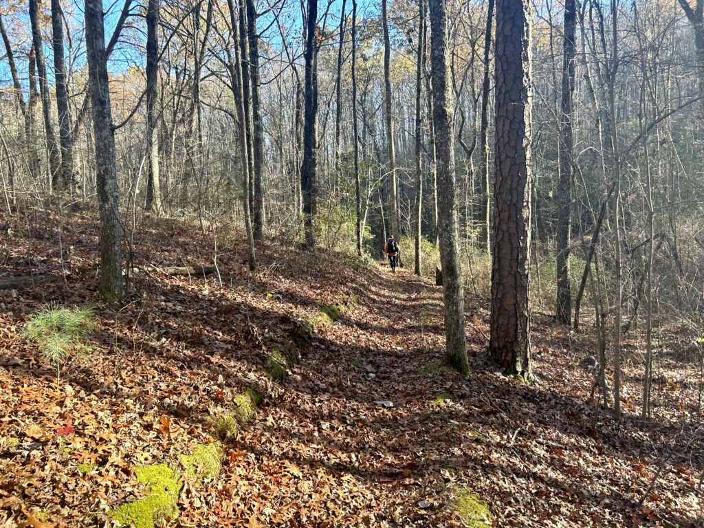
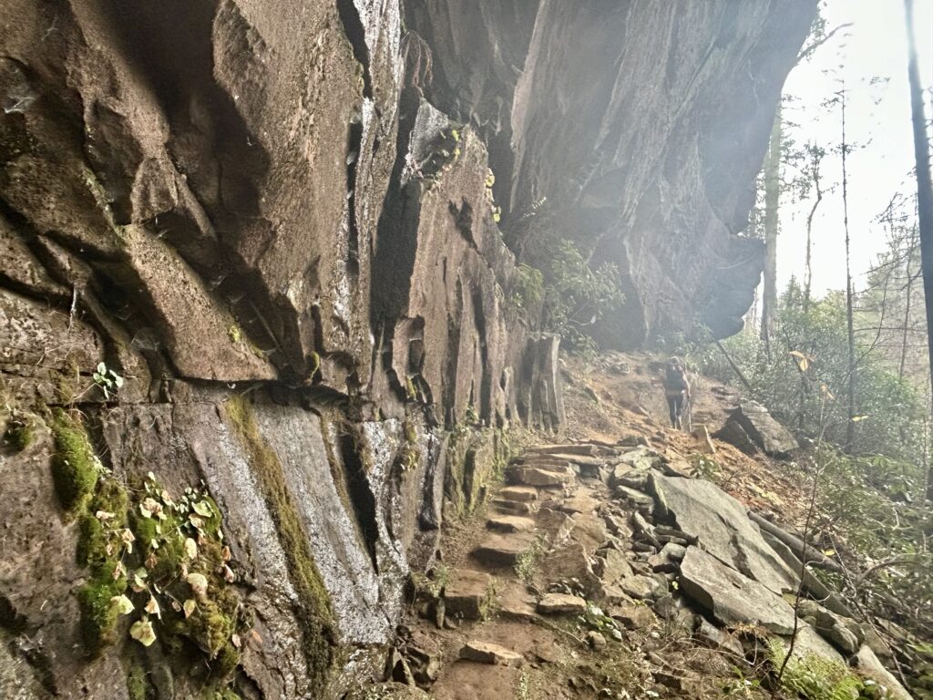
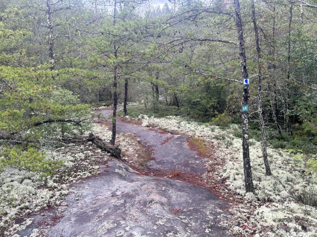
Getting near Stepping Rock TR
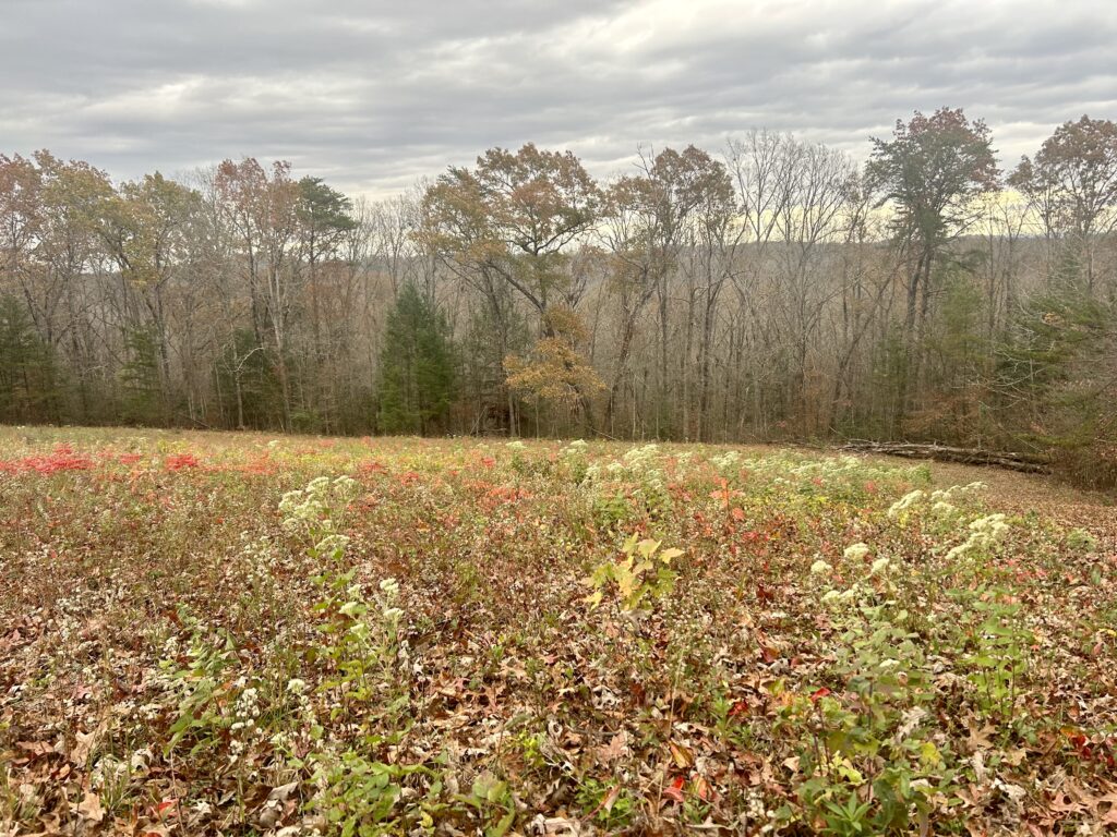
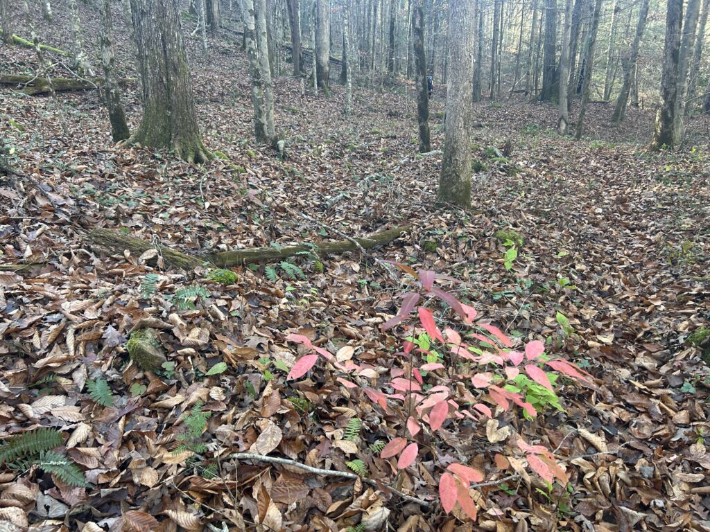
Still some good fall colors
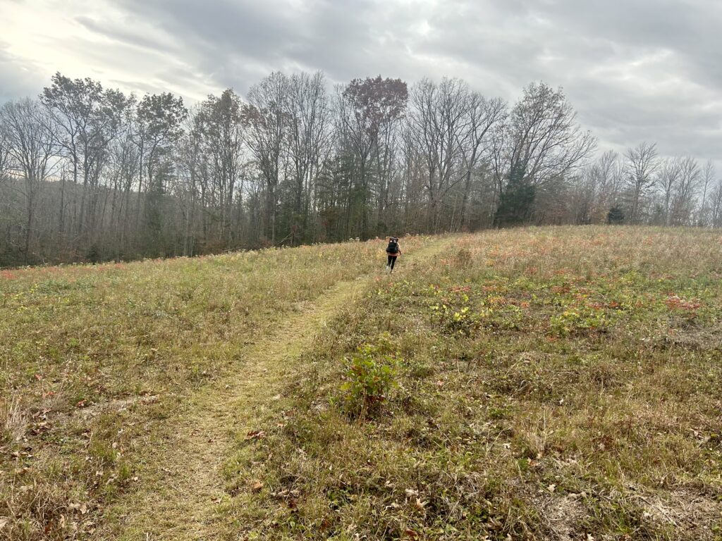
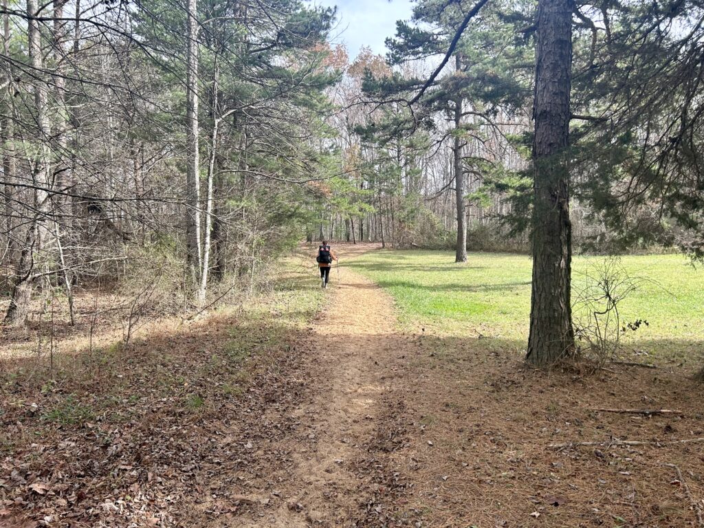
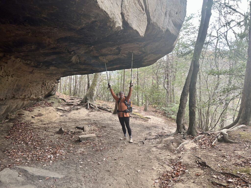
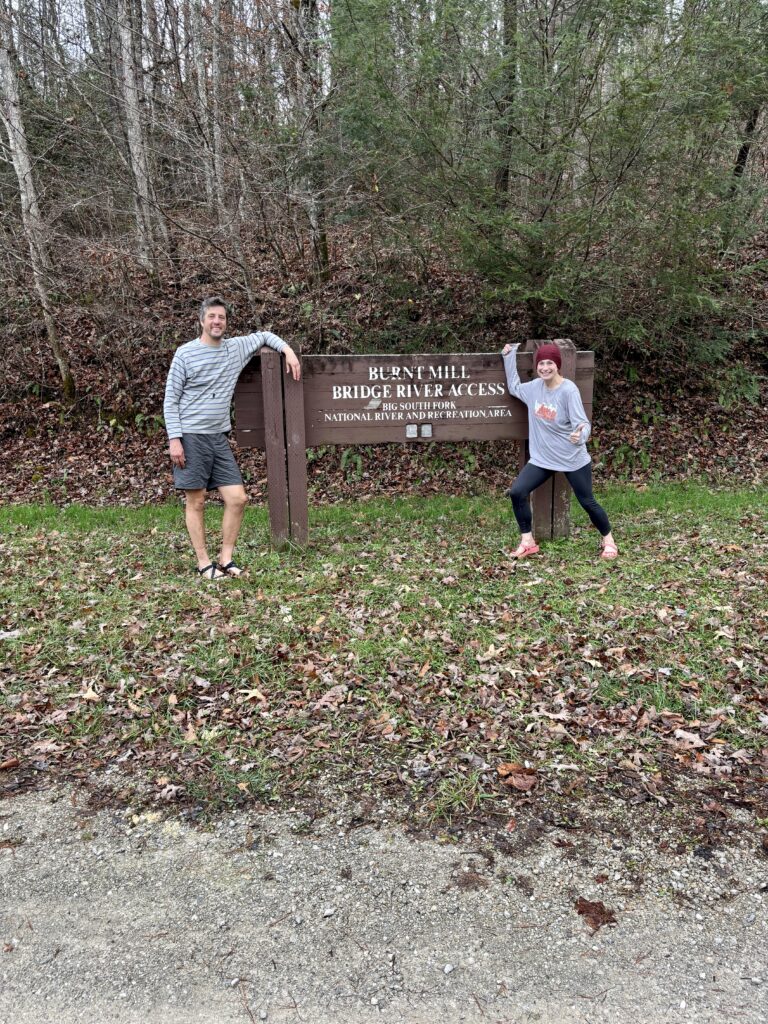
Sweet freedom
Trees can grow in the strangest places
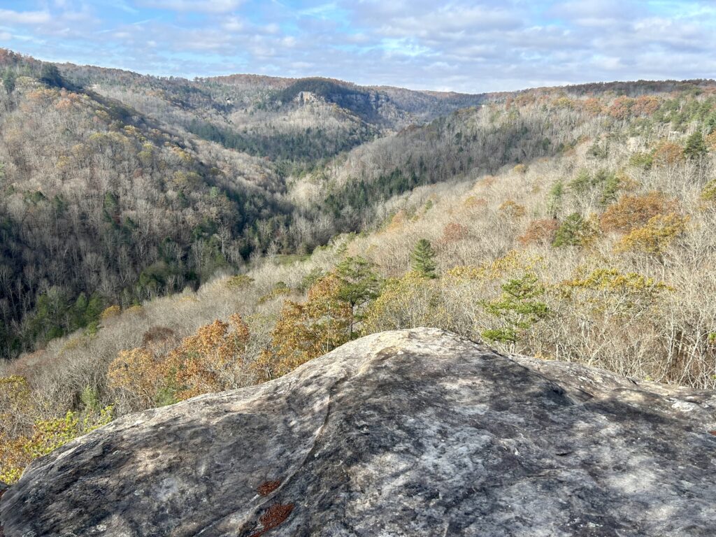
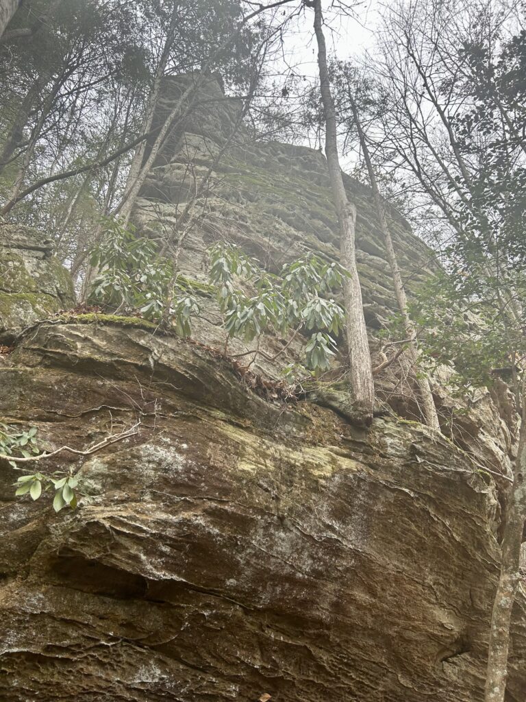
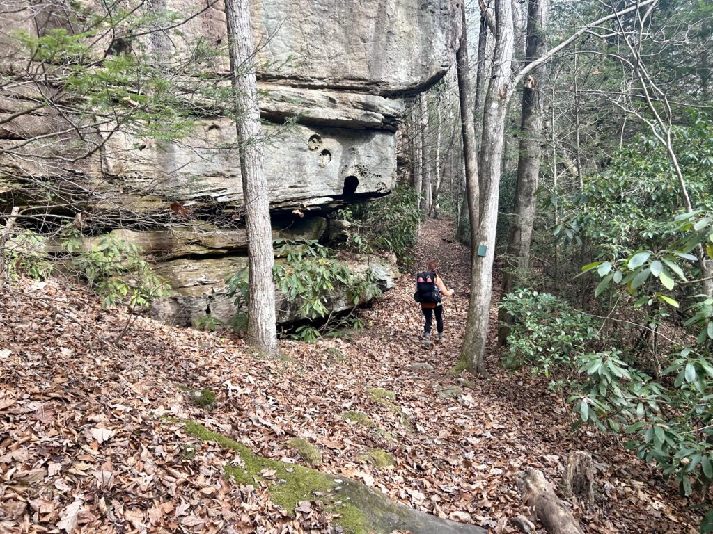
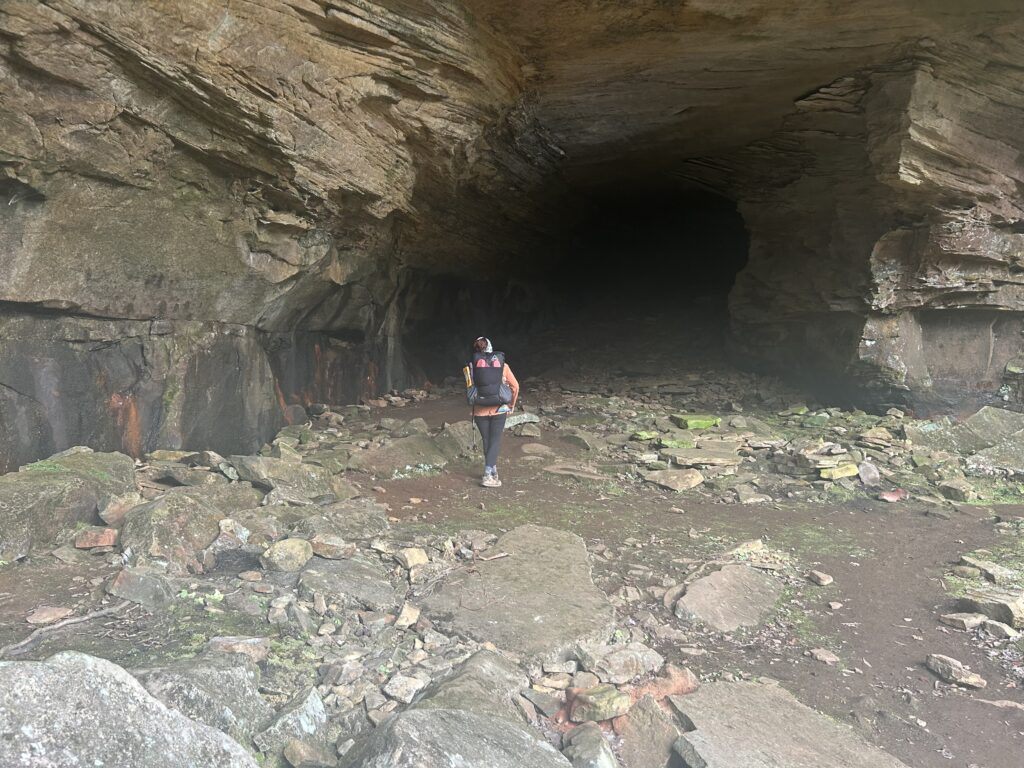
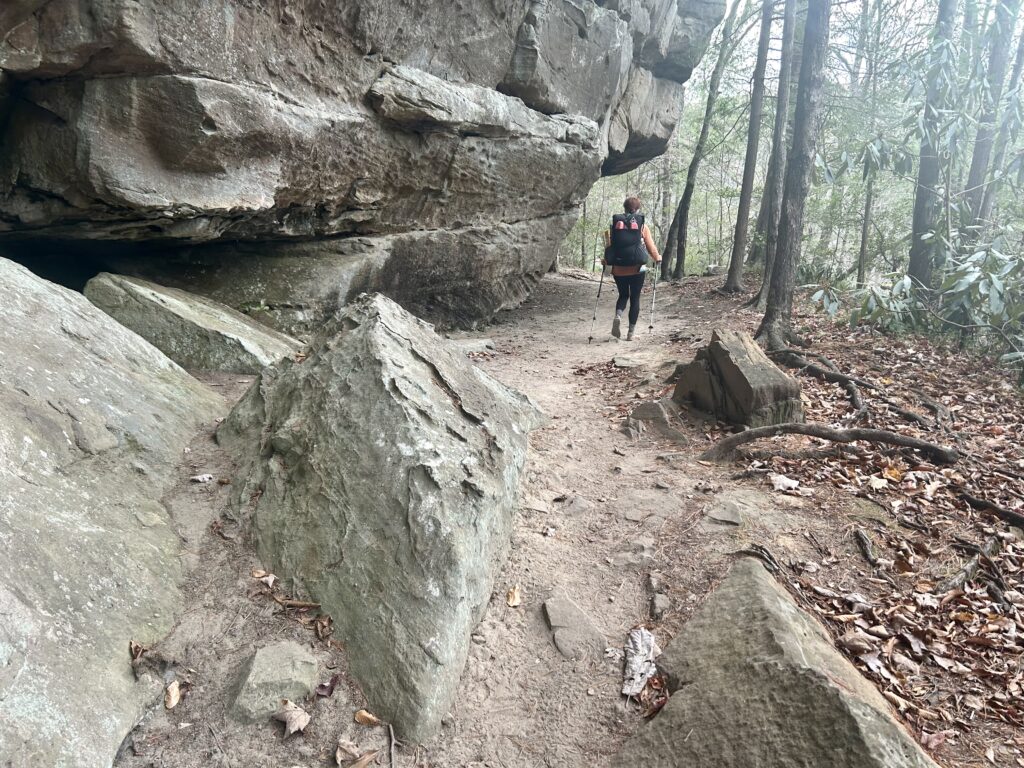
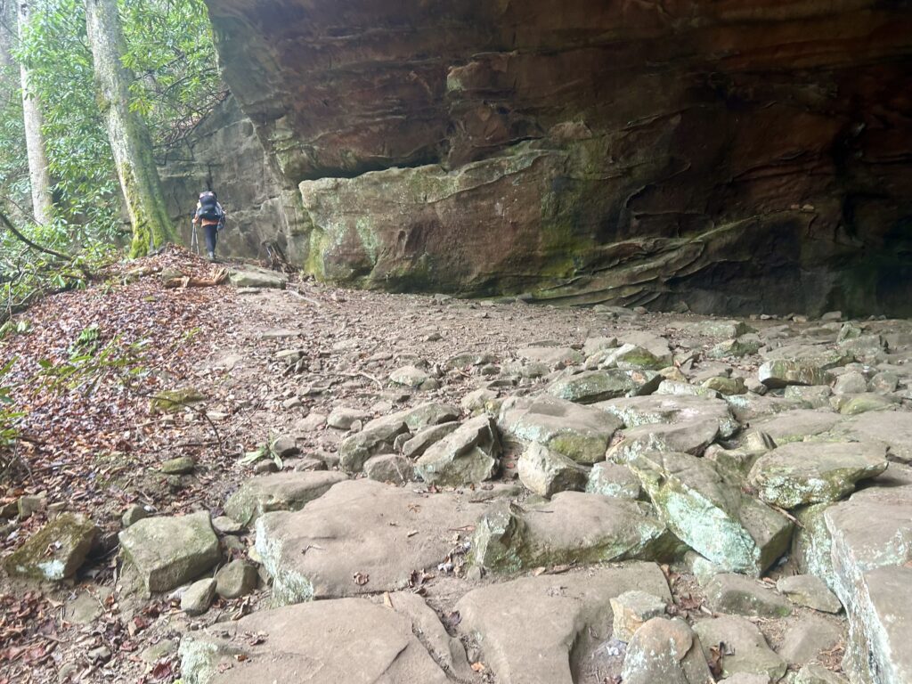
Big ass rock
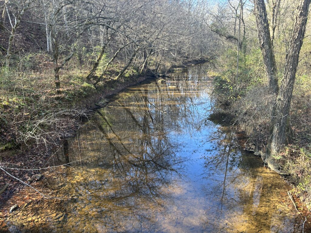
After a great night get up and start out as the lovely morning sun creeps into the valley. Follow the Creek as it enters a marshy spot and then descends to Rock Creek. With its towering cliffs and formidable size, this might be one of the finest watersheds in the Big South Fork Wilderness. Follow the Creek as it passes Great Meadows Campground, a great place to cross it and throw away some trash. The Sheltowee continues following Rock to the state line, welcome to Tennessee! Soon you the John Muir Trail (Ha ha, not that one) as it goes towards the Hidden Passage TR and Picket State Park or left to No Business Creek, make that left. Cross Massy Branch Falls and over the Divide Road. Continue on for 4 more miles along this very quiet stretch to Rough Creek where the only suitable water is flowing and make camp. After a good breakfast get your grove on and make the slow climb up to JM Overlook, my favorite one of the Sheltowee Trace. Look downstream to No Business Butte and upstream to Boyatt Site where the open meadows of green cover the valley below. Next make a quick decent to No Biz Creek where this picturesque creek creeps along as bits of homesteads that dot the landscape in all directions. Great camping is plentiful in this area, so if you have the time, chill for a spell and grab one creek side. Next you will climb away from No Biz and to the shoulder of the cliff where Maudes Crack can be found over your right shoulder by a trail sign. If you have a half an hour, go up the narrow Crack to see the view of what you just came from or just check it out. After your Maude time, make your way along the steep cliff band and down to the River once again. Keep on rolling along the Cumberland for about 3 miles before you start heading up Station Creek. This slow and steady old roadbed gains elevation and gets nicer the closer you get to Charit Creek. You should stay the night here and use the Sheltowee Trace Discount that they offer! This generous discount allow you to enjoy the amazing setting, shower and great cuisine that this fine resort has to offer. Soak it in damnit, you earned it!
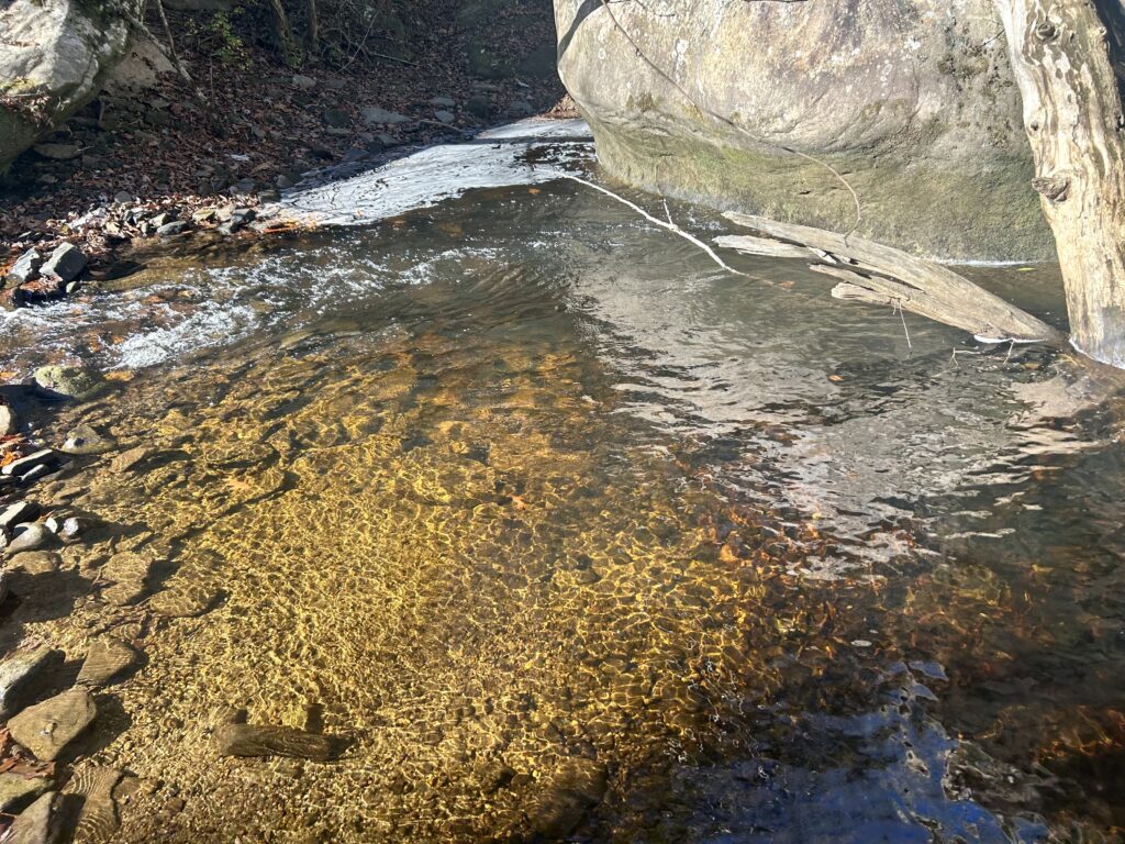
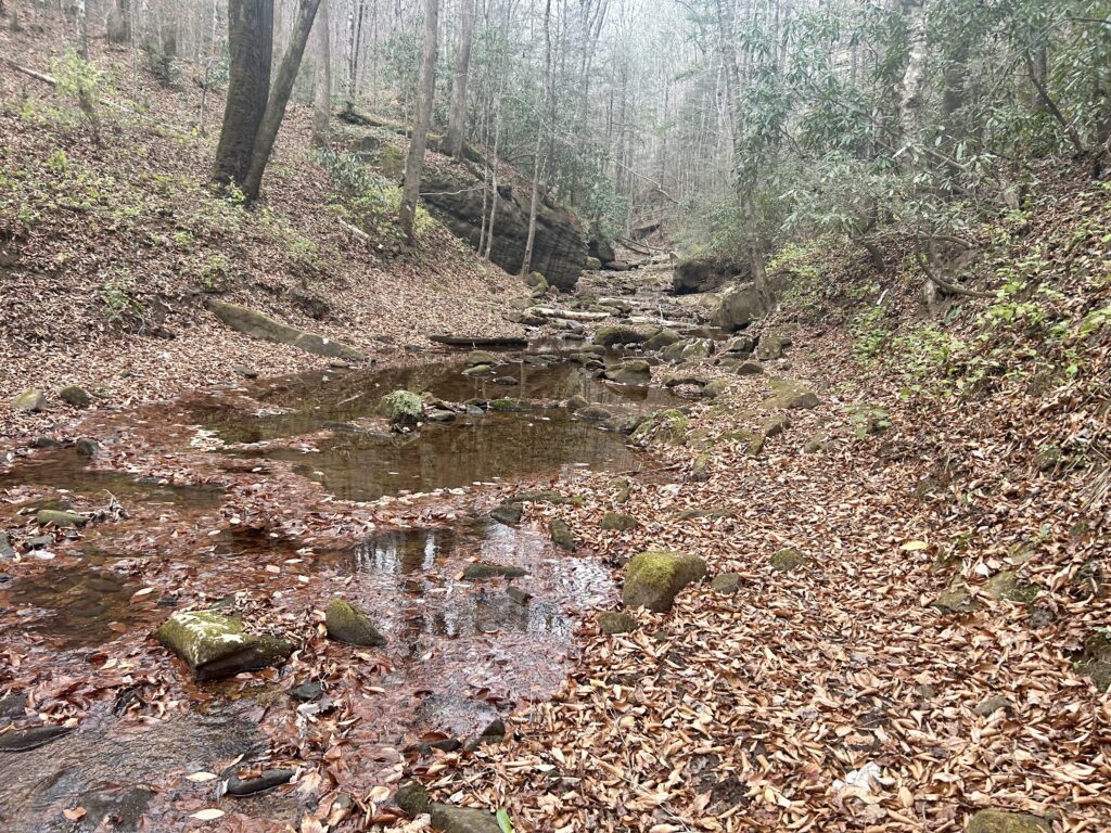
Side creek along Rock Creek
Fall
Let the good times roll

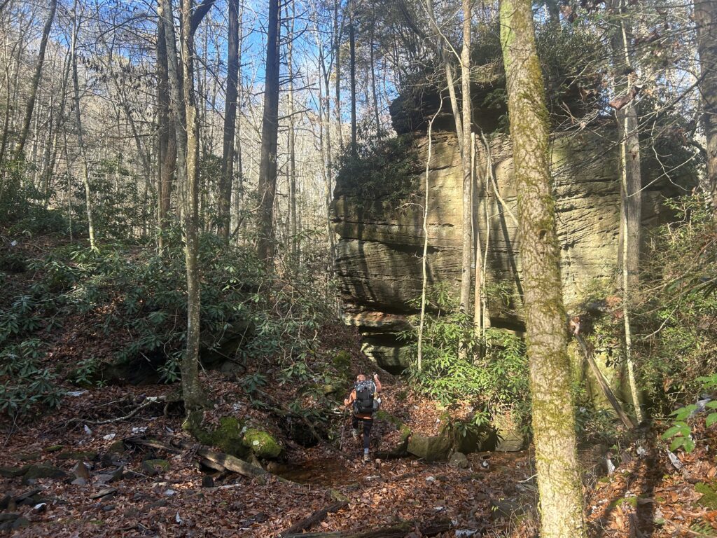
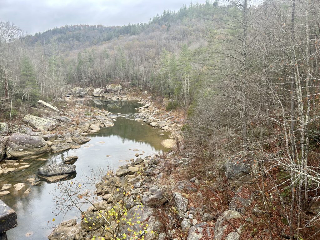
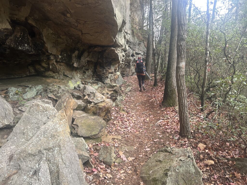
Wow, that’s a big cliff!
No Business Creek
Charit Creek

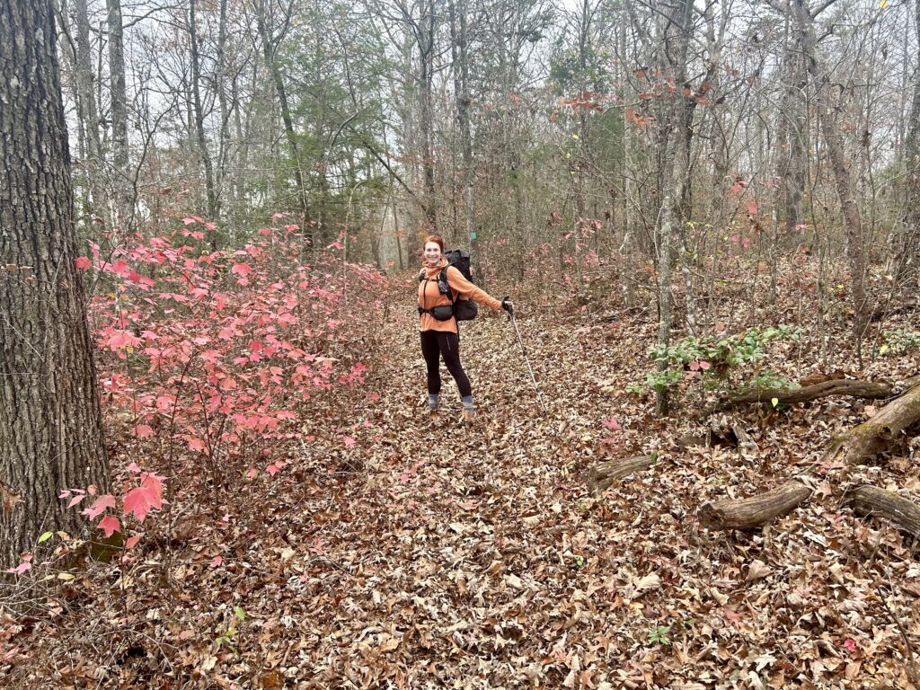
Ready for another great day
Booger Blevins
After a magnificent time at the Lodge, take off and start heading uphill to the TH for the Lodge goers. Drop down to Black House Branch where a significant arch can be found if you know where to look? It’s up the drainage to your right if you are camping here and want to take a gander. As the Sheltowee crosses Black House and makes a sharp left, climb the rise to the right and look for the arch on top of the cliff. Next you’ll hop Laurel Creek TR and join up with Jack’s Ridge TR before a short climb to the Bandy Creek area. There is a small shop near the Ranger Station that you can buy snacks and such, check their hours beforehand though when you get a signal. Next the Trail heads away from Bandy’s meadows and back into the woods. Soon you will pass Fall Branch Falls and it’s nice camp. Head uphill to a road that separates you from the Grand Gap Loop. Continue on above the River as you pass under small rock houses, one of these contains Angel Arch. Check out a great viewpoint above Angel Falls and then drop down on a ledgey section that skirts some cliffs to meet up with Falls Branch again. Cross it and meet up with the River before finding a camp past Leatherwood Ford.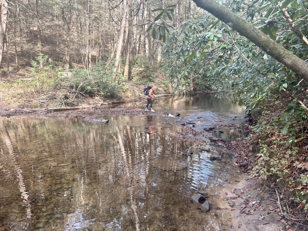
By Bandy
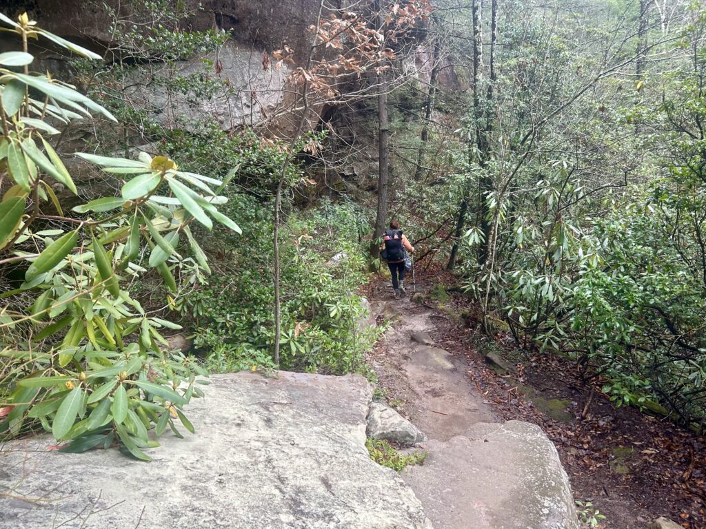
Back in the woods
Falls Creek Falls
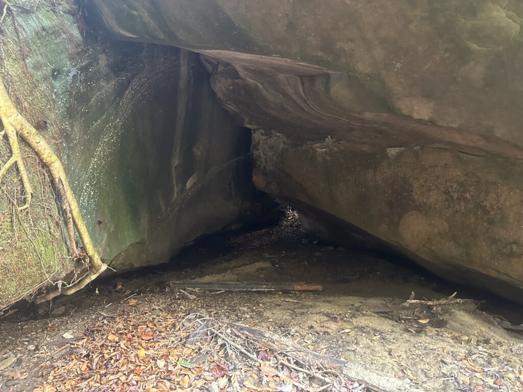
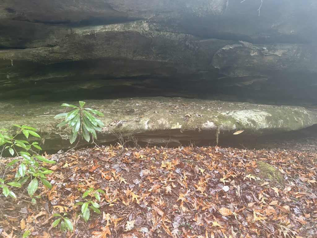
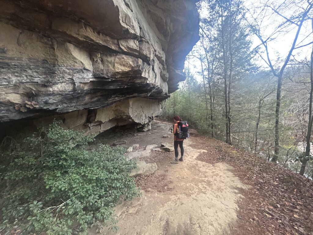
You know, just a random cave…
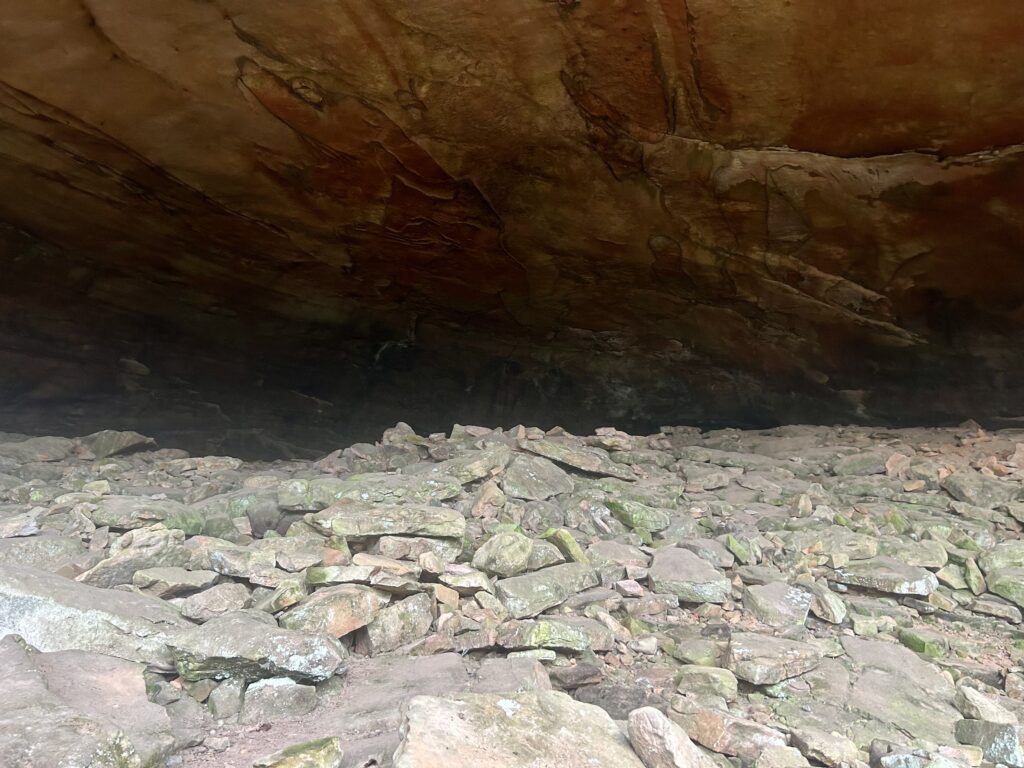
Huh?
Angel Falls Overlook
Dropping down to the River
Falls Branch
Oh wow, last day of the Sheltowee! It sneaks up on you on some trips for whatever reason and it did on me on this hike. After your last breakfast is consumed, take off and in a mile or two pass over the O&W Bridge. This begins a really nice section of the Trail that makes a suitable ending to a great thru hike. Climb up to Jakes Falls coming off the River’s rim on;y a few hundred feet above you. Next up is Devils Den which is a cozy little rock house. It’s a great spot for lunch or getting water from the trickling spring to the right of the Den. Finish climbing to the rim and be sure to take a gander at the viewpoint looking back to O&W and beyond back to Leatherwood. This next couple of miles is pretty flat before dropping to Honey Creek which is a lot of hikers favorite part of the whole 336 mile Trace Trail. When you hear the roar of Honey below head down a couple of switchbacks to Belly Arch on your right inside a mossy boulder. Follow this section carefully referencing your map or app when you see a side trail to the many amazing waterfalls along the way like Boulder and Ice Castle. When you start climbing out of the drainage, there are some nice camps along the creek here. After you get to the Honey Creek TH, climb up a bit to a bit of multiple use trail action before hitting a proper trail on the way down to the Clear Fork of Cumberland. Take the left split following the turtle down to the River. This section is a great spot to camp if you finish early and need a spot to get a last night in. My favorite is one I call Ski Lift Camp because it has a gondola chair filled with rocks where the seat should be. My Partner and I have have swam in the River hear while watching mink hunt on the bank and rescued a lost dog and helped him him find his home. Nostalgia I find, helps you find the cosmic connection that helps you cement memories in your head for the duration of your life. If someone asked me about a long hike that dishes out tiny gems of pure wilderness, great trail towns and spots to shack up while soaking in the majesty of the vast and largely unexplored Cumberland Plateau that is littered with thousands of diverse landforms, I would pack their pack for them. Long live the Sheltowee Trace!
From O&W Bridge
Belly Arch
Rock house along Honey Creek
Honey Creek goodness
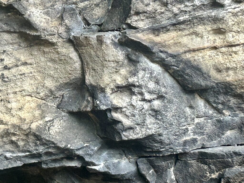
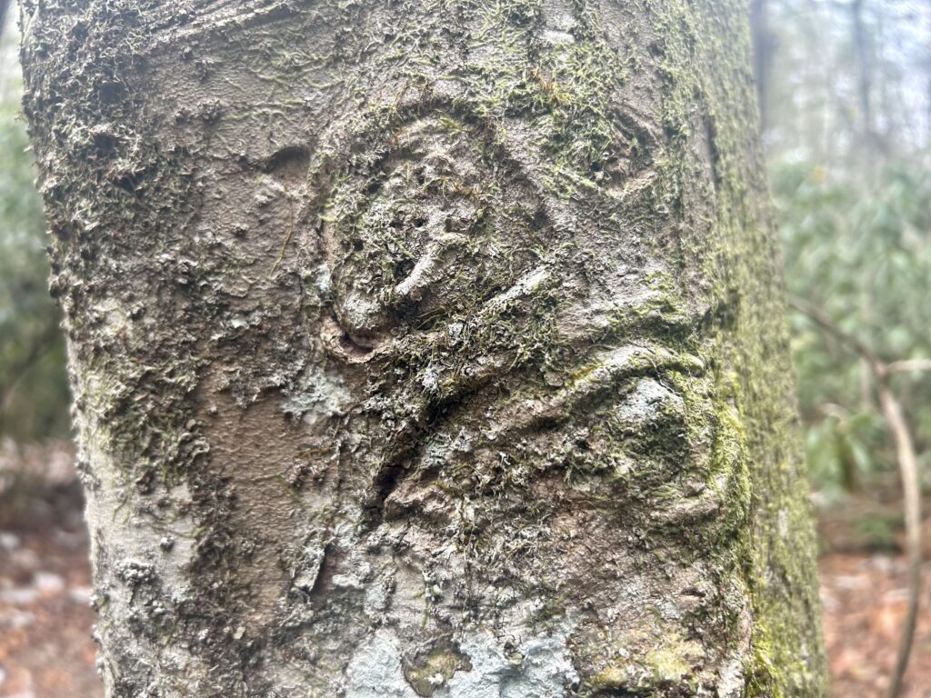
Strange face
Along Clear Fork close to the end
Done