Momentous Adventures-Sheltowee Trace (Mouth of the Laurel to Big Spring Falls)
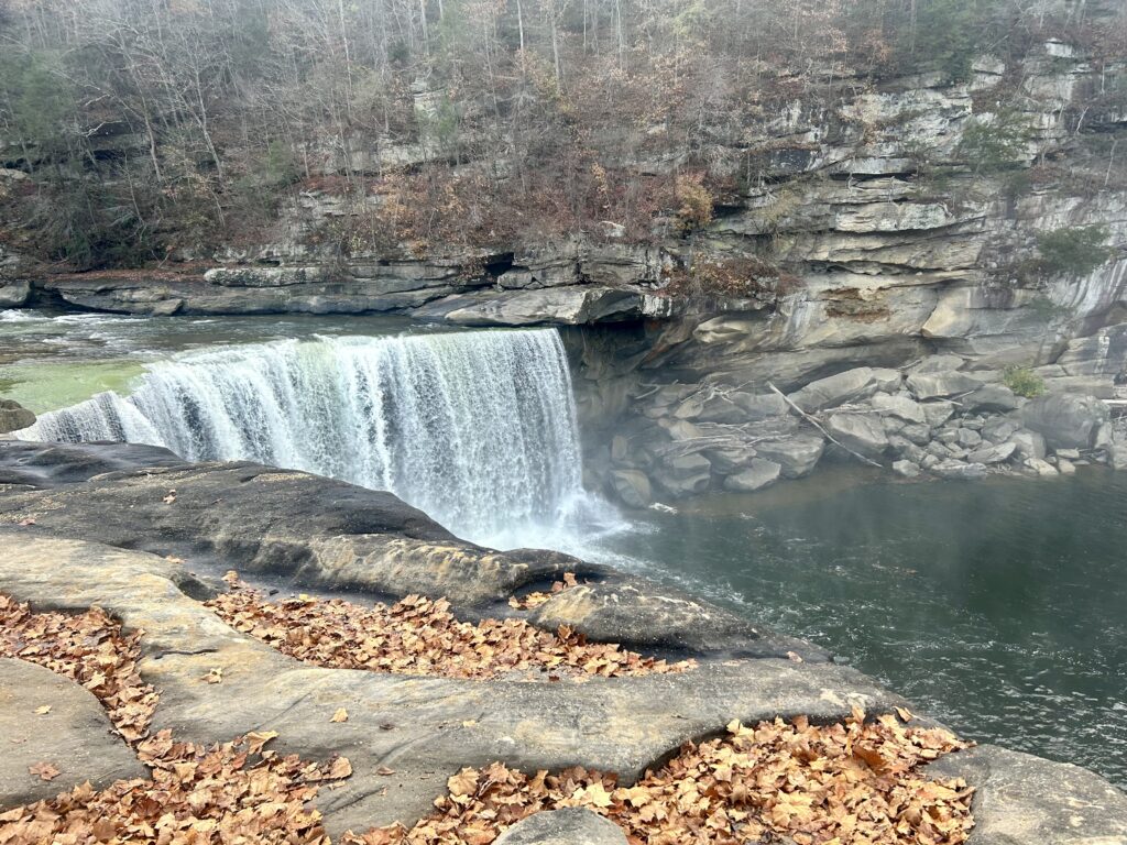
Cumberland Falls _
We just finished up the last bit of our thru hike of the Sheltowee Trace Trail to it’s Southern Terminus. Starting up at the Mouth of the Laurel is an optional way to divide up the Trail because it leaves a lot of the B.S. behind in the first section. Stuff like the paved road walks by irate dogs and hermits, blown out ATV sections and questionable trail “ornaments” found when near civilization. Now you start following the Cumberland in its various forms upstream deeper into the wilderness ending in the amazing Big South Fork. Seeing this River transform itself from reservoirs and dammed sections into the wild waterway that flows free of impediments is awe inspiring. Truly something that every wilderness traveler should see when there hope for a more hospitable world grows dim. Plus, discovering that true isolation in the wild is still possible in this hustle and bustle world is refreshing. All that’s left is a boot mark in the mud, a broken branch or two and a primitive camp to remind you that other people have been through here recently. Hmmmmm, sign me up! Get someone to drop you off by the Mouth of the Laurel Boat Ramp and get your pack on as adventure beckons you. Drop into the woods as the reality of the situation takes hold and you get your cruise on as the trail descends closer to the Cumberland. After a while you notice that the cliffs on your left are getting bigger as the road noises fade away. In a few miles when you start following a stream inland, you will be at the lovely Bark Camp Cascades! If the weather is warm this would be a great spot to take a dip or better yet, throw up your camp by the nearby shelter and stay for a bit to enjoy the nice scenery for longer. We had a longer day planned so we kept cooking along the River passing another shelter, Star Creek. If I was going to camp in either one of these shelters I would stay at Star because it was in a nicer location. In the next couple of miles you will be in the Cumberland State Park. You will notice that the take on a more cared for quality that they carry for duration of the S.P. They are also a little more rugged with steeper grades sometimes accompanied with stairs. From the Dog Slaughter Falls intersection onward to Cumberland Falls the trail is exquisite. The scale of the land here reminds me more of the West Coast than Kentucky. When you’ve had your fill of the goodness, go over the bridge and back on the Trail on the other side. As the River starts hanging to the right and a nice flat shelf above the water appears, camp here at this primitive site. Revel in the fact that you are out on this amazing adventure as the sun ducks over the hills.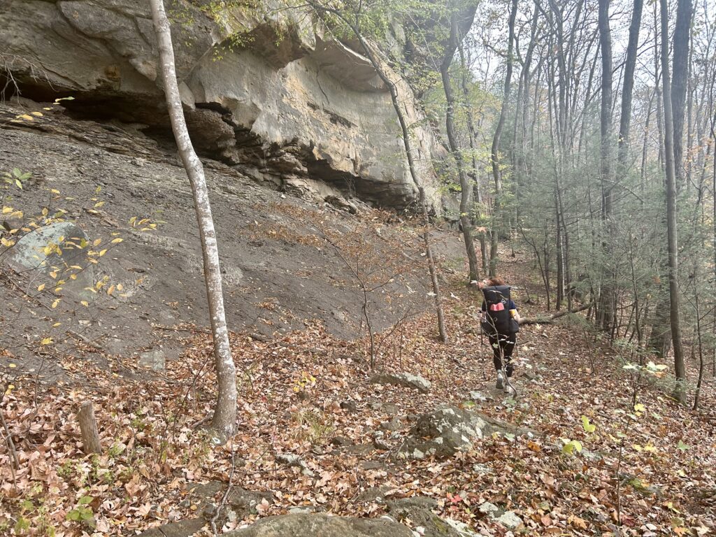
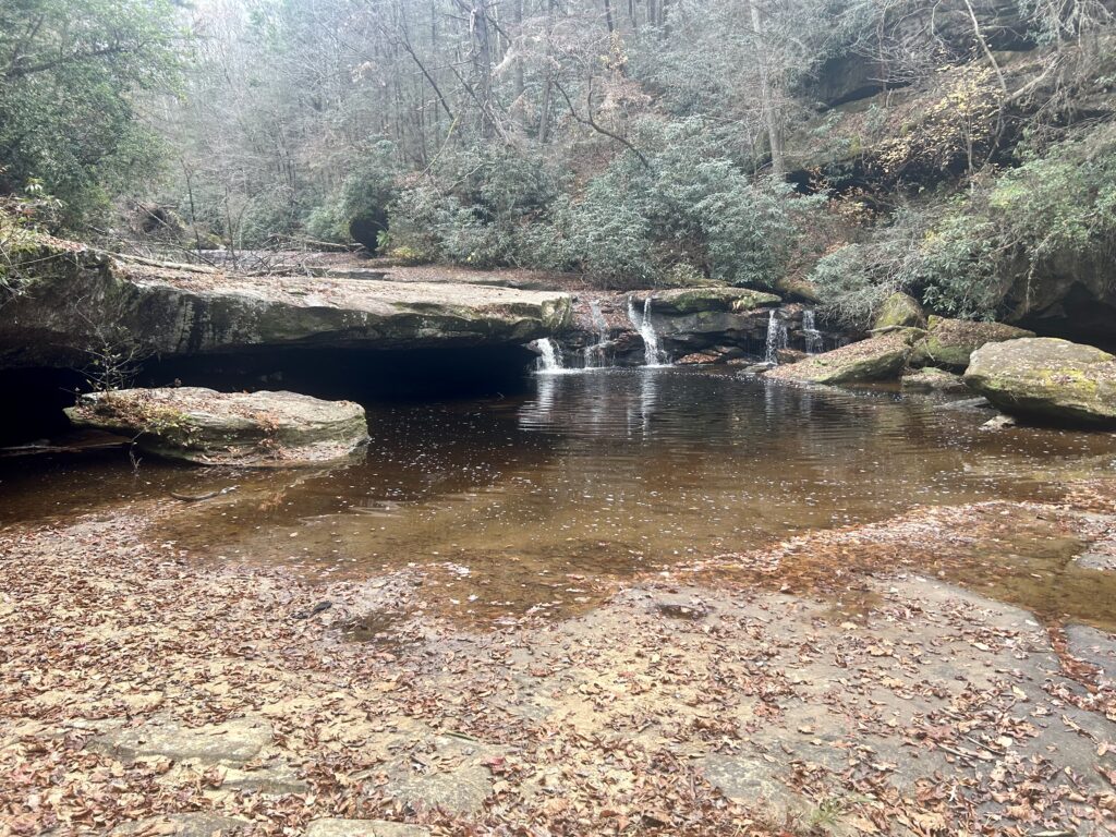
Bark Creek Cascades
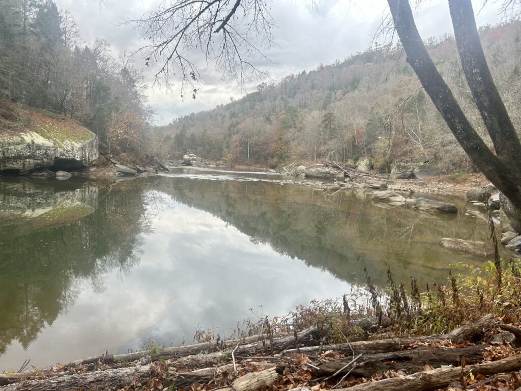
Becoming less lake like and more River
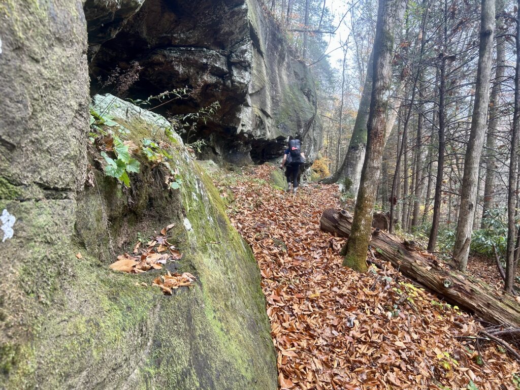
Lots o’ leaves
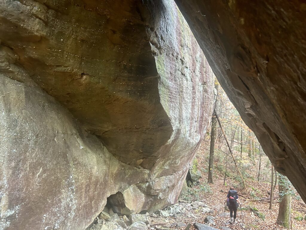
After a restful night’s sleep it’s time to get some breakfast and hit the trail. We had a couple of more miles to go today to get away from any roads that we will be walking. Start the day out along the River in this quiet stretch of the Sheltowee as it rolls on Southbound. Soon you get to some old roadbeds that become the Trail and continue until you reach Thunderstruck Rd. Follow that for a bit before riding on the shoulder of Hwy 700 and then empties into a proper trail that strays away from the Highway. Drop on down Indian Creek and cross it as it begins to carve a rugged, tight valley over your right shoulder. Continue on to Railroad Creek where you find a nice camp before you meet a triplet of FS Roads. This quiet setting is only distributed by the occasional sound of a train’s whistle, making this camp more iconic in your memory bank. Now submerged in the trip you let the evening settle in as the light gets low. Grab dinner and retire to music and sweet sleep. This perhaps is my favorite time of a trail day? Get up and scoop up your gear for a early start back into your journey. The cool part of today is that you finally get into the Big South Fork National Park, so hit the road and get your hike in for the day. You will be aiming for the rad campsite where Negro Creek dumps into the Cumberland. I have stayed here before and remember it well, it’s perched up above the River on a nice shelf shortly before the intersection by a grip of big boulders. Ready to begin your trip into BSF, great! Start out your day by meeting a couple of other trails taking off to the left heading to Barren Creek Horse Camp, stay right. Soon you will begin paralleling Hwy 27 before crossing it. Jump on a road, jump off and then head down to a uneventful meeting with a Park Service Sign saying that you are entering the BSF. The creek you were following empties into the River that looks more like a reservoir at this point. Stay high above it as you go by interesting rocks and cliffs before dropping down to the River and going slightly inland to meet Yahoo Creek and the great trails that lead to the falls and arch that are back there. Stay to the right following the River up past Alum Ford and some front country campsites before ducking back to quiet trail. Next up is passing the Cotton Patch Shelter located in a scenic spot perched above the namesake creek. Cruise on a bit above the River before descending again to that special camp you have been thinking of for. Settle in as nostalgia takes the reins for the rest of evening. Life is good as the sun dips beyond the ridges and you settle in for the night.
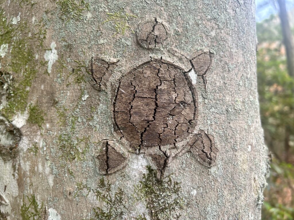
Badass blaze
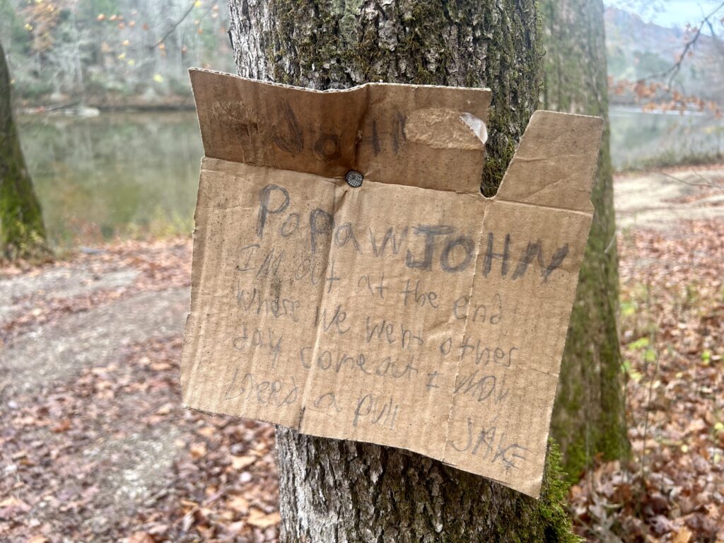
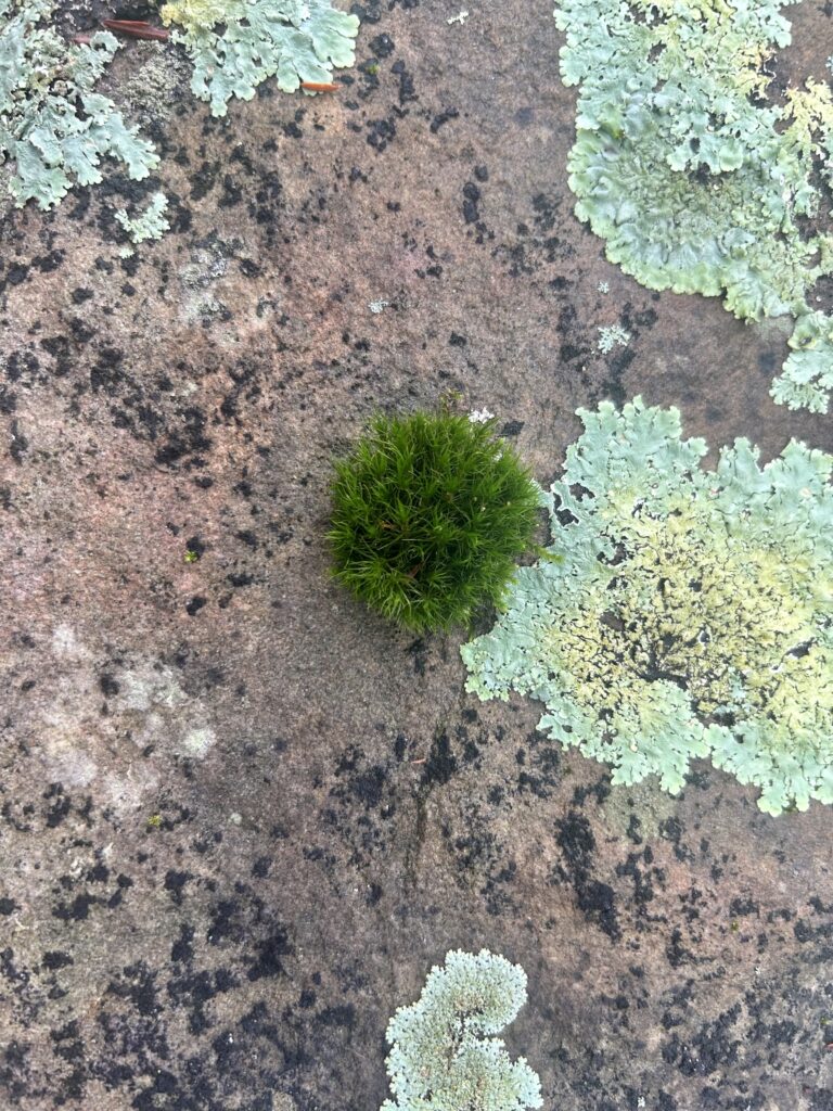
Rock and moss
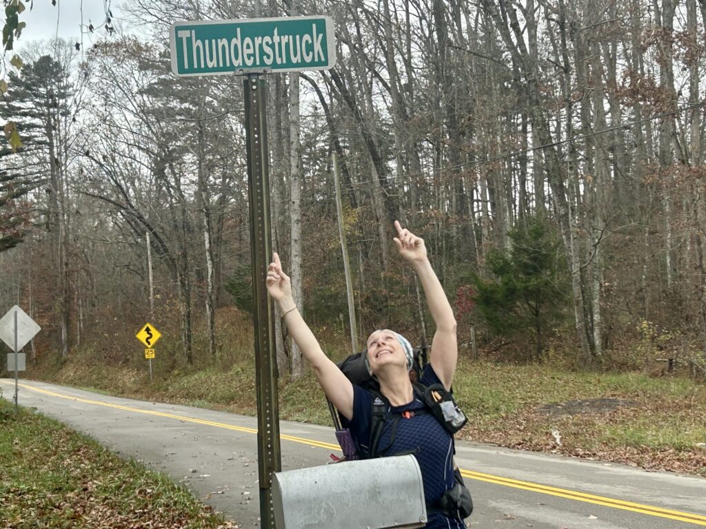
AC/DC was here
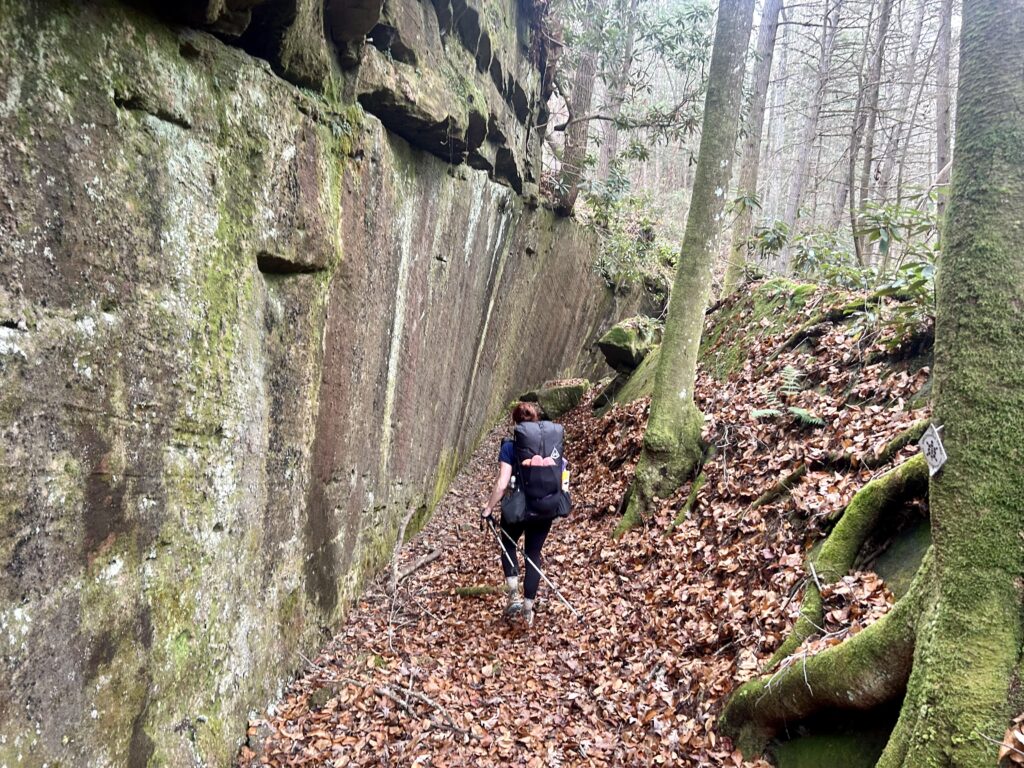
Looks man made
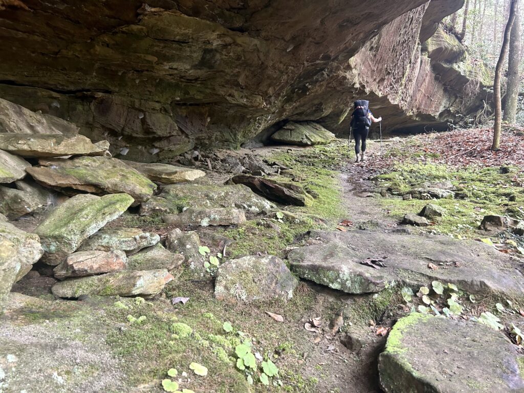

Trail cats
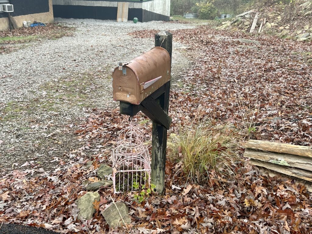
Eclectic homestead
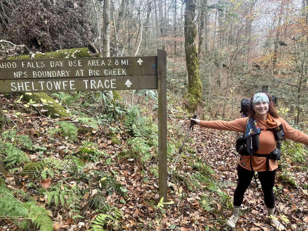
Back in the Big South Fork
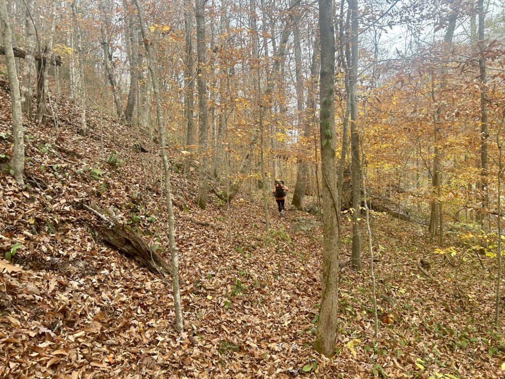
After a great night’s sleep in this scenic spot, pack up and cross over the cool bridge that has been fastened to random boulders to start your day. Steep cliffs over left shoulder while the wild River rides along the right is the way the trail rolls in this section. When you see a hole in the rock walls developing in just over a mile, you will be at Lick Creek. If you have and the creek is flowing nicely, make the short side trip up Lick to Princess Falls. The camp spot under the falls to the right would make an amazing warm weather destination if you pushed on from our last camp on Negro Creek. If you do, make the easy 3 mile RT side trip to Lick Creek Falls which is located in a colorful amphitheater of rock. It is truly a spectacular sight in the abundantly awesome Big South Fork where treasures like on and off trail arches and waterfalls are literally around every corner. Keep your eyes and ears peeled as you make your way along the Sheltowee in a half mile for Julia Lynn Falls on your left. Next cross over Yamacraw Bridge while staying near Hwy 92 moving away from the River to a crossing with Rock Creek. Now the Trail is inland following Grassy Branch until it meets up with FS 6120 where it meanders for a bit and then again starts making its way back to the River. Stay above it as the Blue Heron Historic Area comes into view on the other side of the Big South Fork. There is a bridge here over the River if you want to check out the old mining community out or grab a snack from the concession stand if it’s open. Keep on cooking to Dick Gap that signifies that you are entering another rad stretch of trail. Climb up to the Catawba Overlook and look back to the Blue Heron Bridge hanging high above the River. After another mile and a bit get to the intersection with Big Spring Falls. Settle in for a great night as the creek sings you to sleep.
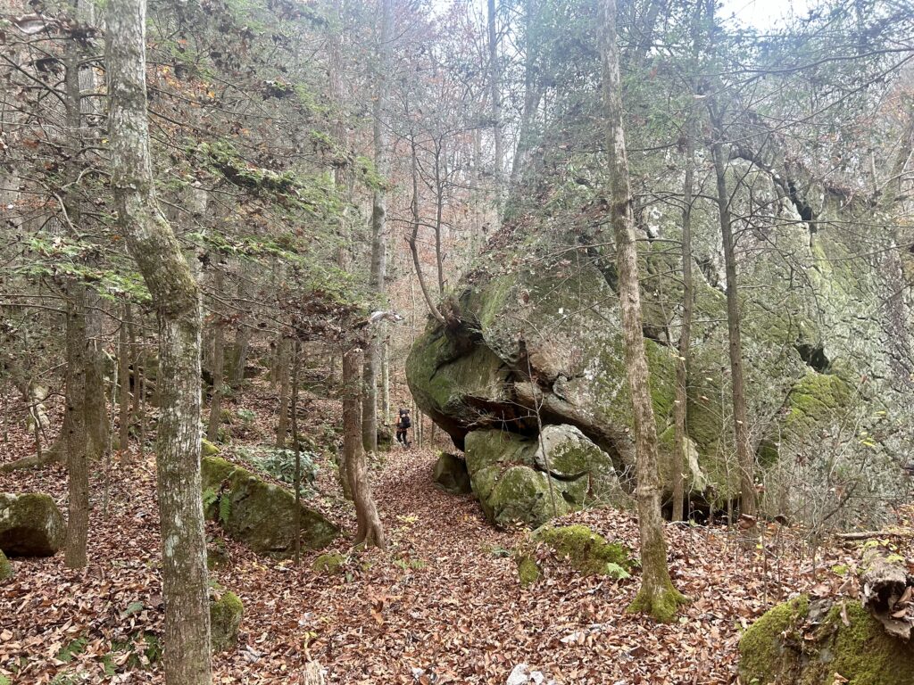
Rocky passage way
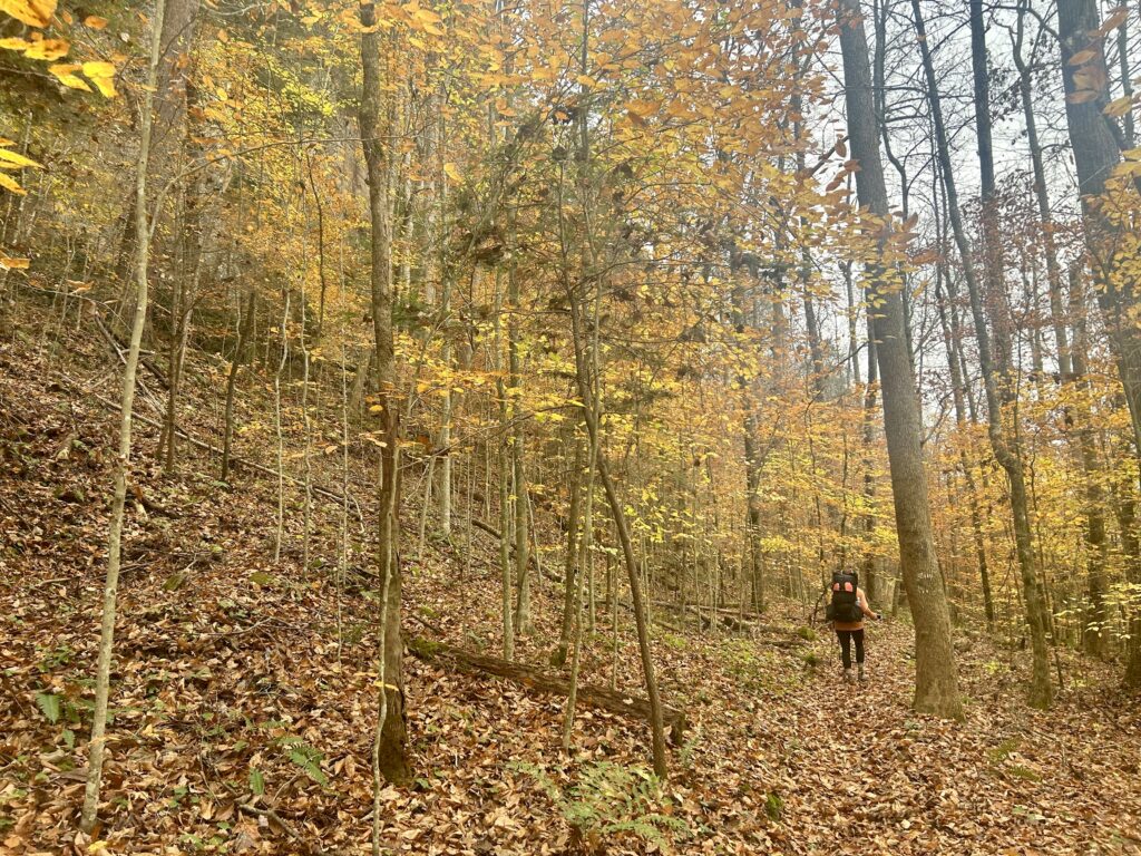
Lovely fall colors
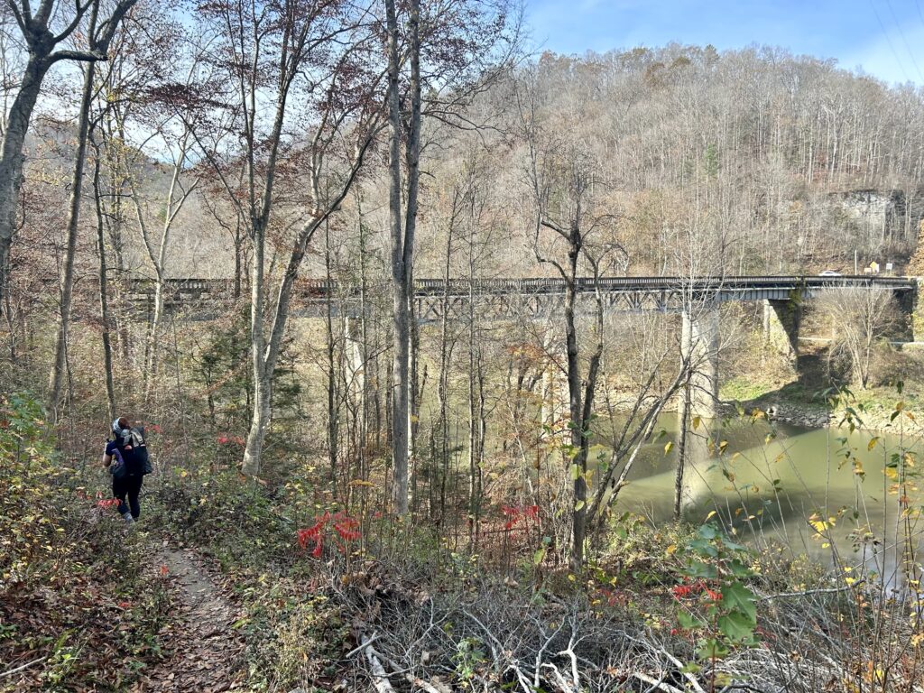
Yamacraw
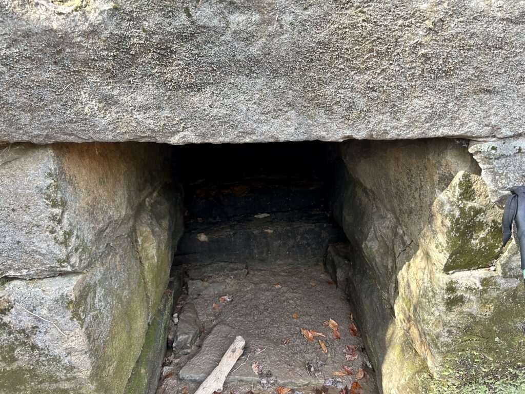
A weird culvert
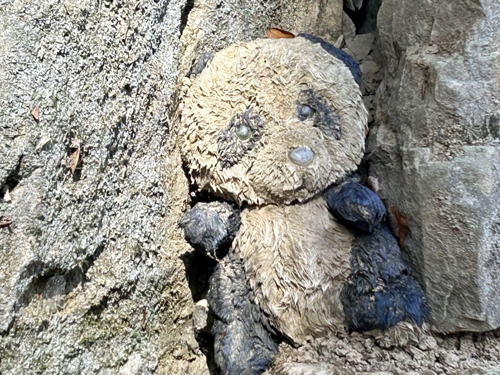
Also at the culvert site?
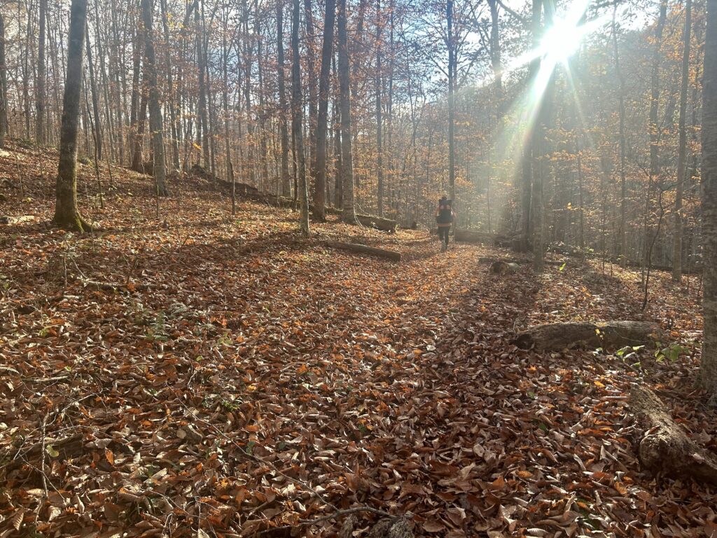
I love this time of day
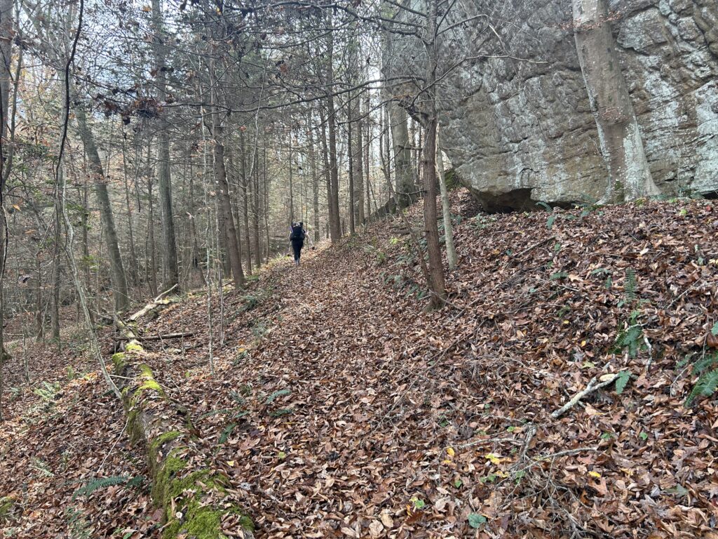
No shortage of quiet trails in Big South Fork
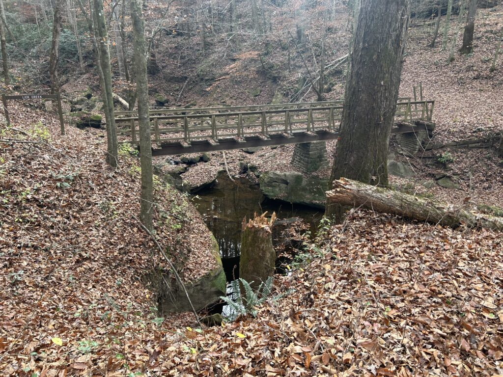
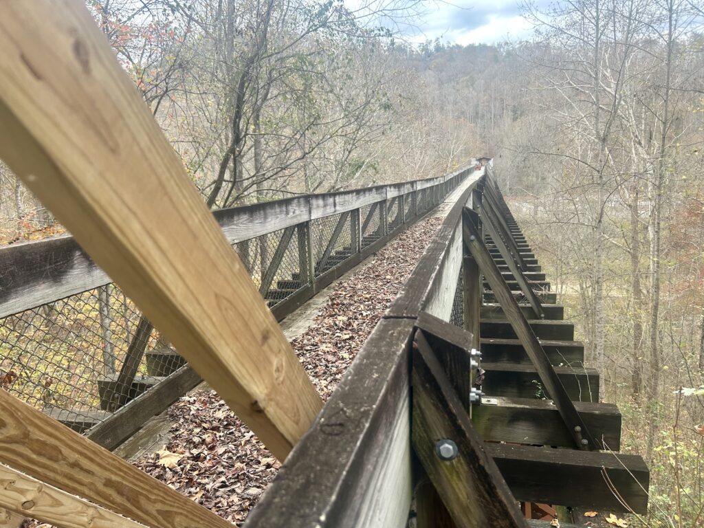
Blue Heron Hiking Bridge
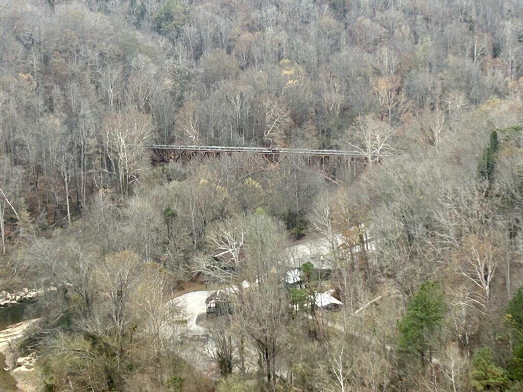
Looking back to the Blue Heron Bridge makes the work of hiking easier. From Catawba Viewpoint
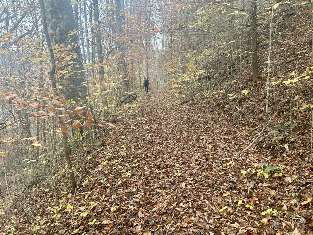
Rounding the bend to Big Spring Falls
