Momentous Adventures: Sheltowee Trace-Northern Terminus thru Red River Gorge
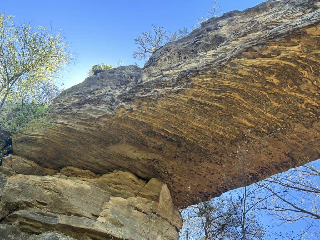
Natural Bridge
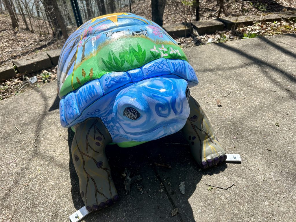
Ahhh, the excitement of starting out a long hike is an amazing feeling. The Sheltowee Trace over the years has grown to 343 miles. Named for a route traveled by Daniel Boone or the “Slow Turtle” as First Nation folks called him after he tried to hide himself behind a large oil drum during a battle between lame white settlers he clearly didn’t want to participate in. One of the coolest things about this hike is all the different turtles you see along the way. There are big ceramic ones in downtown Morehead, painted ones of various colors on the road walk sections and of course on the blazes too. About the road walking, there is quite a lot to be had, maybe 20 to 30% by my estimate. Most of it was gravel backwoods roads, but some were paved and those were the suckiest in my opinion because of baking in the sun and the overall fatigue it puts on your body. We put in an average of 14 miles a day, road or trail. That being said, I still loved the Trail for the pristine wilderness areas it visited, the overall isolation and the social aspect of the trip. That last one is definitely the hardest aspect for me to admit, as I generally hate that kinda crap when I am immersed in the mountains. I found that Morehead, Hemlock Lodge and Slade in this section were great spots and embraced the spirit of the Cumberland Plateau nicely. When planning your Sheltowee hike, I suggest that if you are on the fence with isolation that you keep in mind the rad rentals like Little Turtle or indulging in the Hemlock Lodge and such. It can complete the “vacation” that you are taking in a whole way that seems indulgent. Well, food for thought at least to take in to consideration along the way. At least the options for mental and physical recovery are in place in case you need them, and armed with friendly Southerners, how can you lose eh? The trail is a true joy to hike off the roads with epic spots like War and Hawk Creeks that have monumental camping options. The Trace darts from small town streets to FS Roads stretching into the wilderness beyond these small towns. Linking up the wilderness in a patchwork of pristine goodness that beckons to be explored, the Sheltowee goes there.
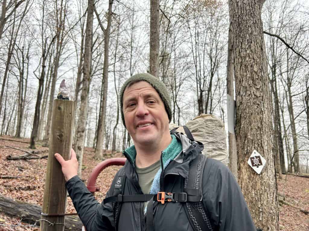
Hey!
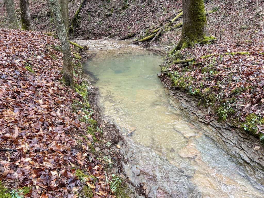
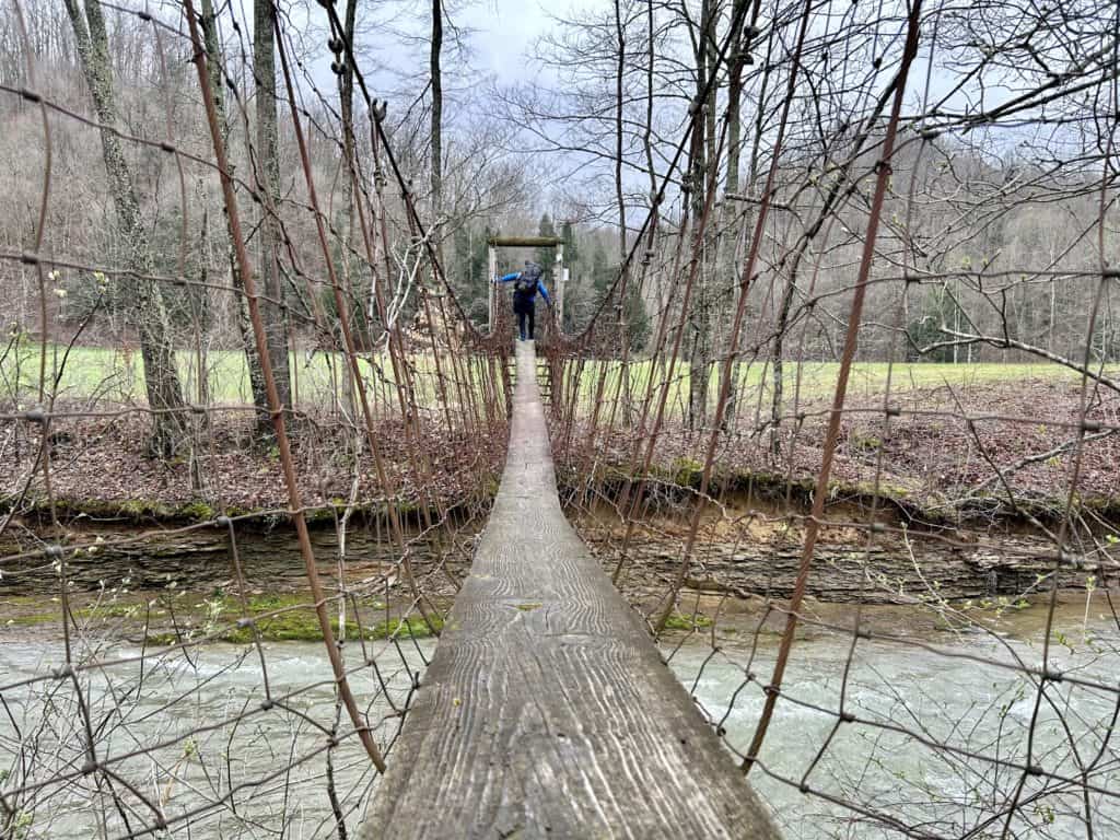
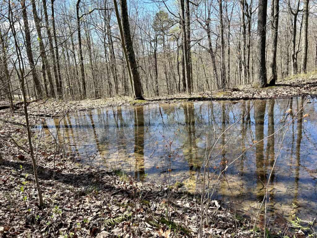
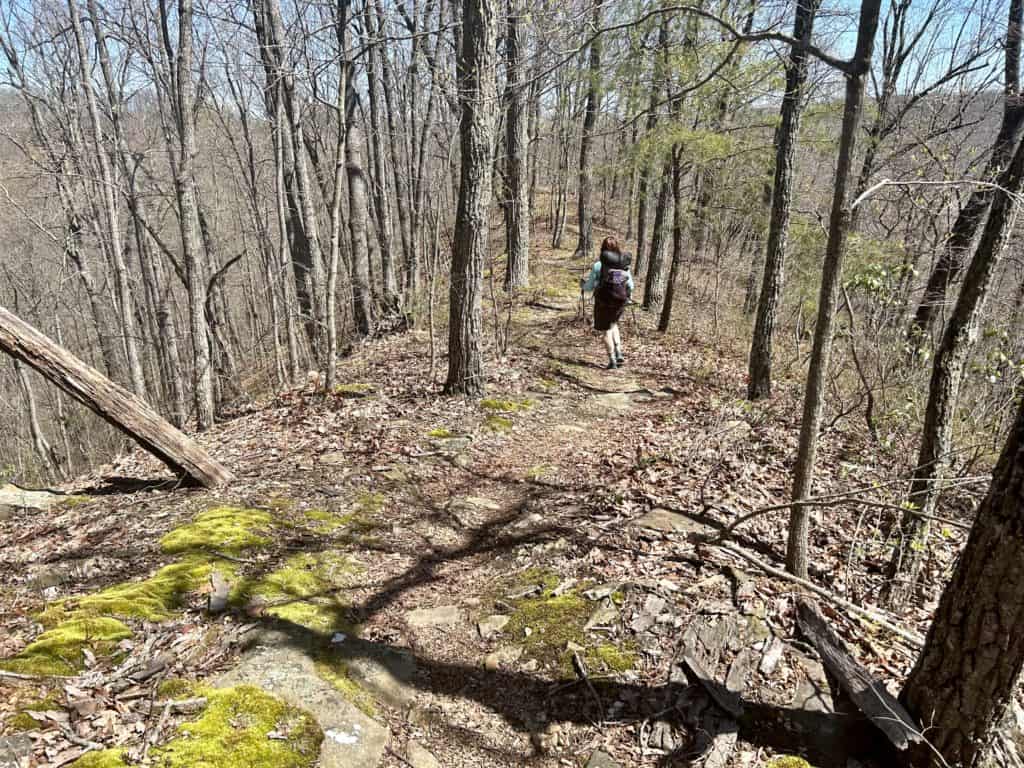
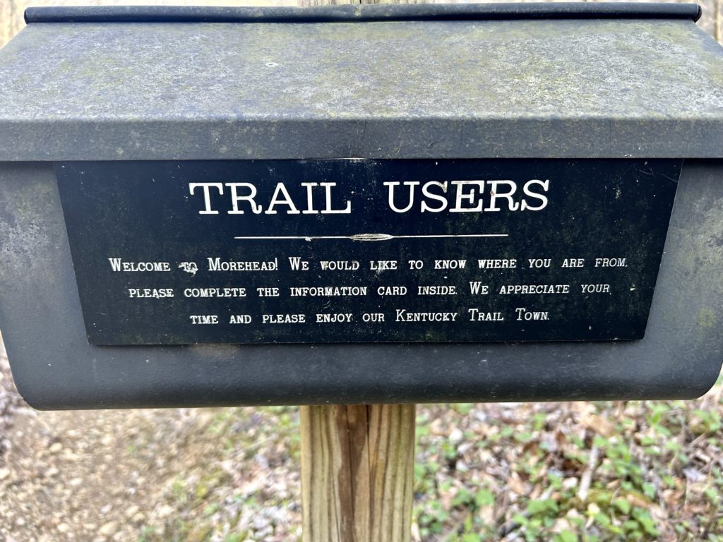
Start out at the Northern Terminus about 25 miles from Morehead. Make sure to have enough water for a dry 9 miles of moderate terrain. Climb just shy of 300ft to a saddle where you join the ridge top and begin your rolling trip up to Moct Mountain and other high points with gaps mixed in, you know the deal. I really enjoyed this section with scenic ponds and views out to the surrounding mountains and ridges. Reminded me of North Carolina hiking rather than what I’ve seen of Kentucky. Cross over dirt roads and eventually wind down to the Clark Farm. Judge Clark has long advocated for Sheltowee and has opened up a section of his compound for hikers to stay the night or simply chill out and grill. If you’re just passing through, you can utilize the water spigot by the edge of the driveway before crossing the road and back into the wilderness. Climb a bit before dropping down to follow a nice stream, hoping it over it a couple of times. Go over a road next to some farm houses and cross the creek on a dicey suspension bridge. Grab some water when you get away and above the farms and find a dry camp after you cross a highway off FS Road 977. Get off the FS Road and get back on proper trail. Keep looking left for a view of Eagle Lake on the edge of Morehead and start thinking about what kinda grub you want, if you haven’t already. It becomes evident that you are now near the University when you see a couple of there trails leading to a planetarium and a satellite dish. For some reason it looked pretty surreal at the time, like a scene from Close Encounters of the Third Kind. Cruise down to the Lake and follow it for a short bit before heading though the University and onto Main Street. We went to Fuzzy Duck, but I would look elsewhere for something that will tickle your ribs. Enjoy all the cool turtle sculptures spread throughout the Main Street. We got an extra sub for dinner at Jimmy Johns and headed out another 4 miles on paved roads with plenty of nice trickles coming down the hillside on the left. The Sheltowee becomes trail again complete with a registry and climbs to a gravel road, we camped on a ridge top below it.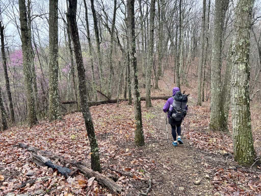
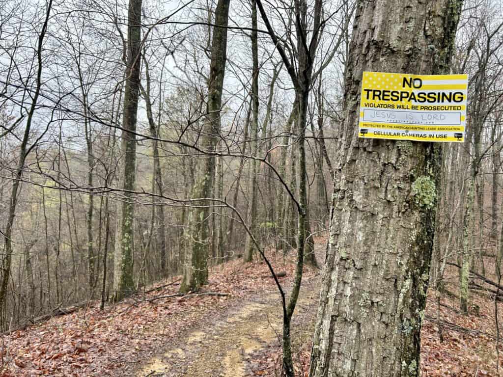
Thanks!
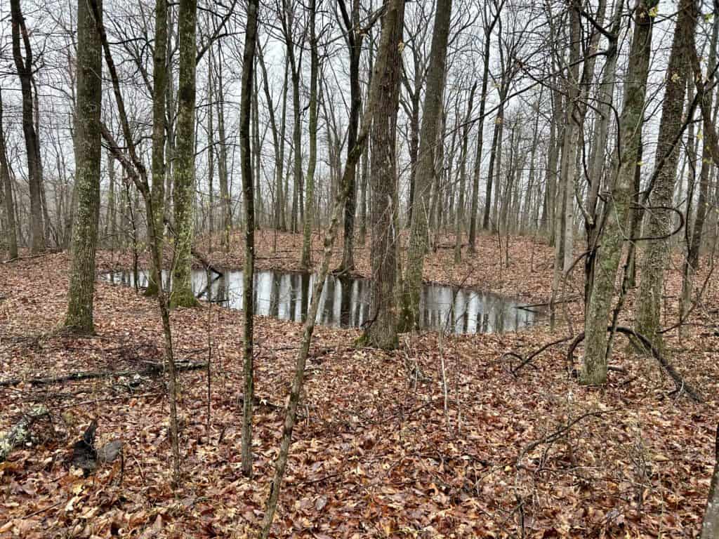
Nice ponds on the ridge before Morehead
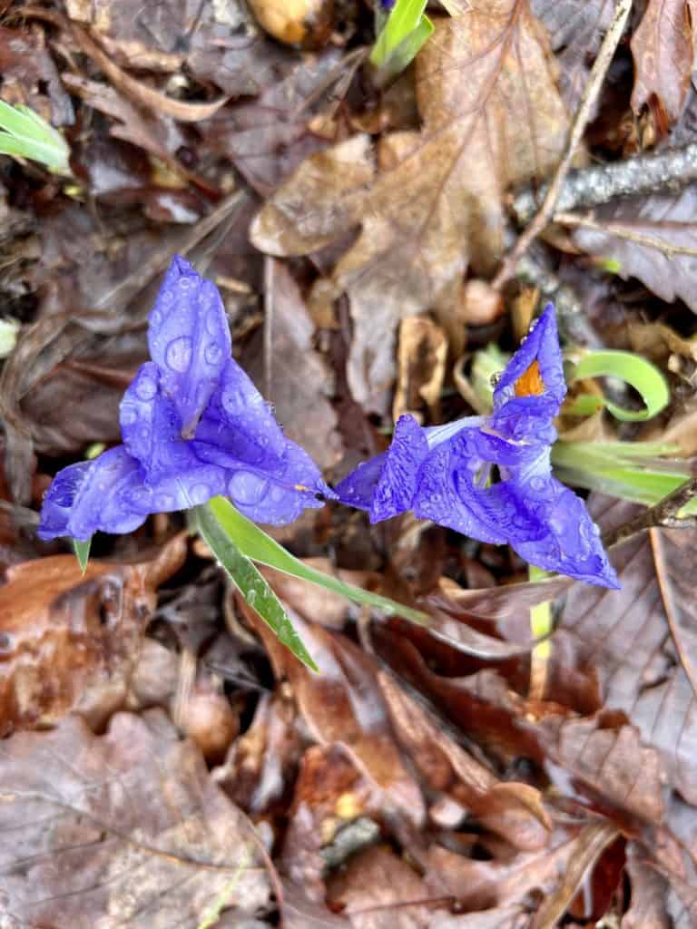
Sweet spring
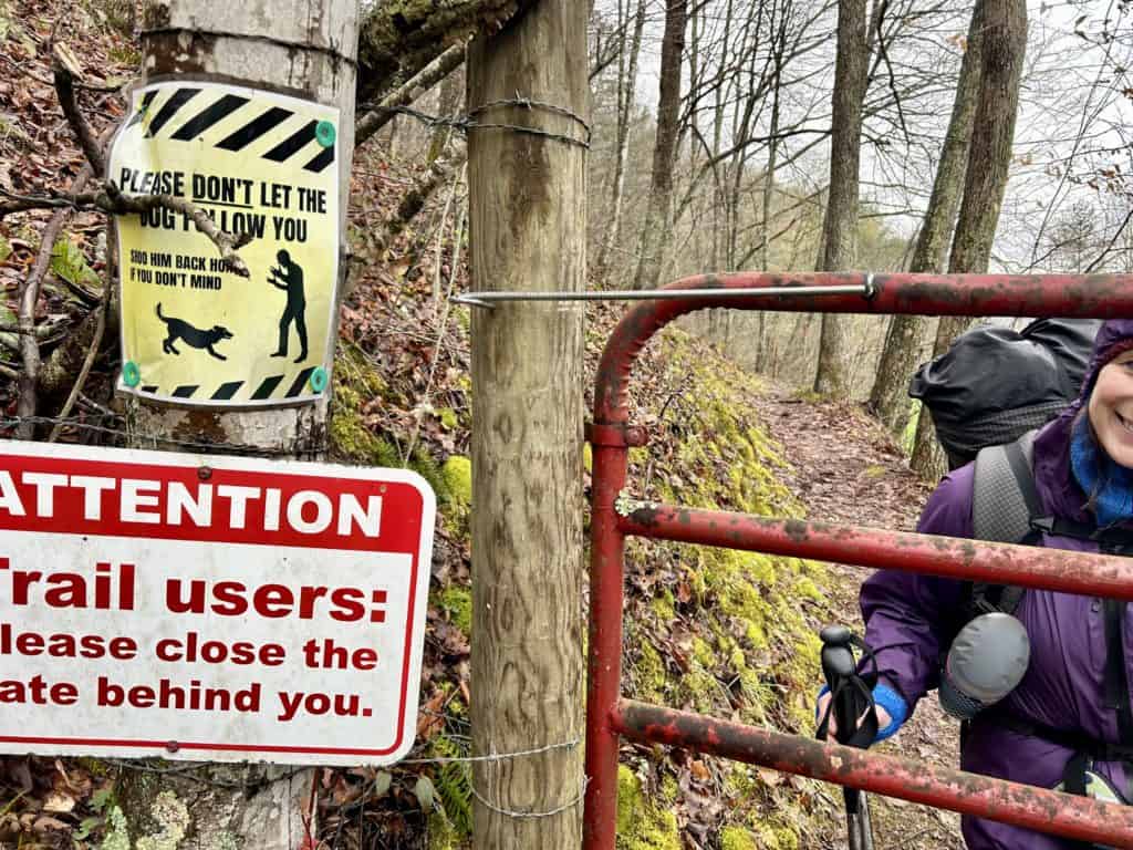
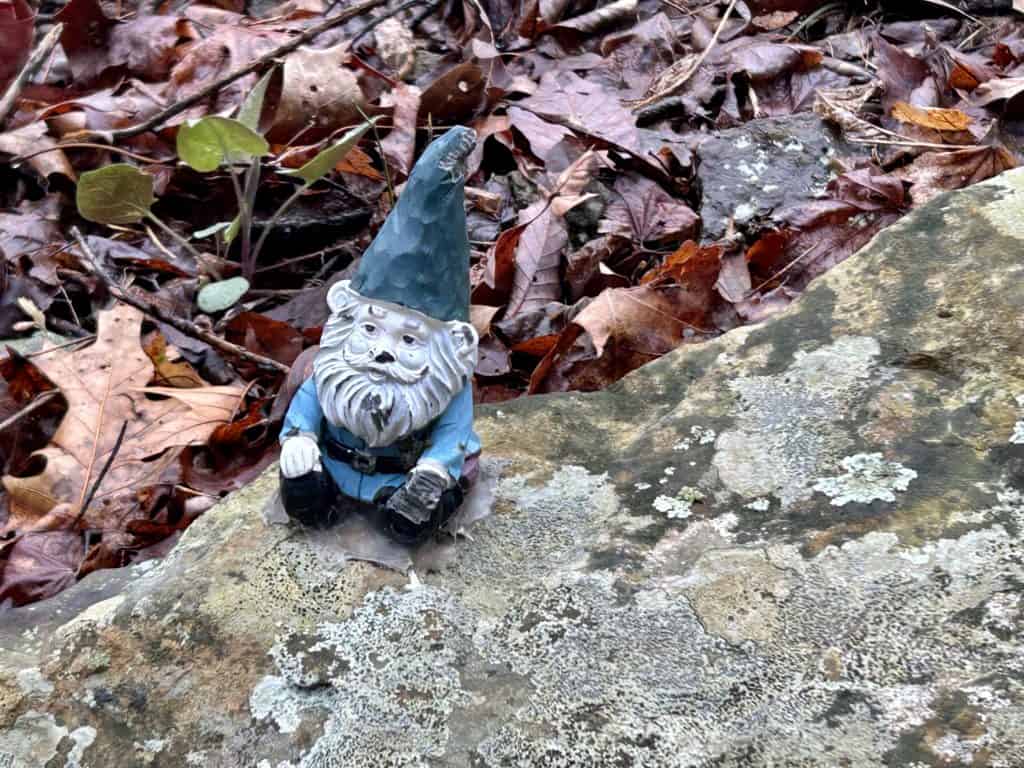
Hey buddy
Hmmm
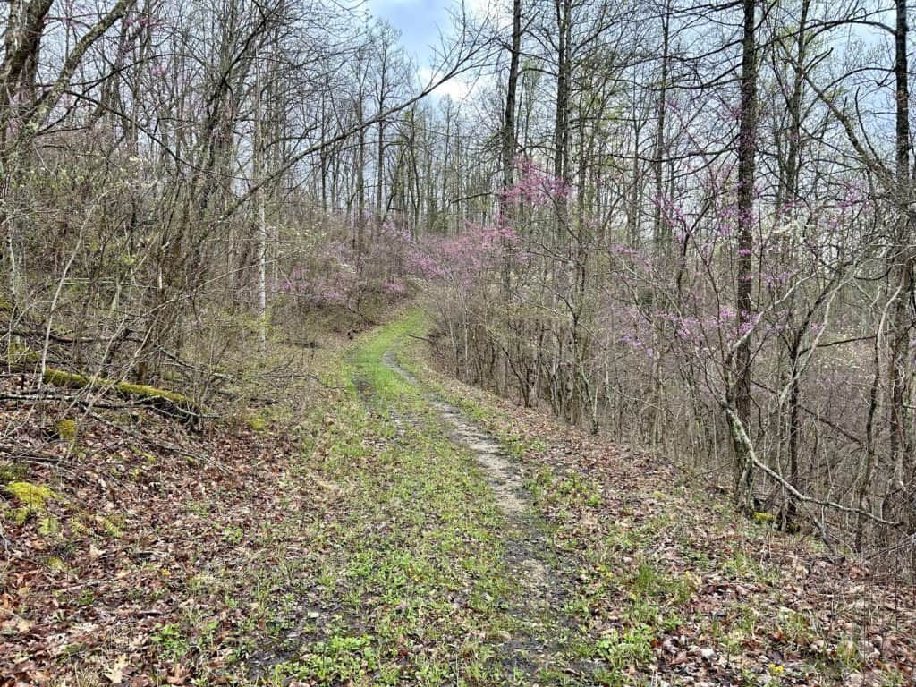
Spring!
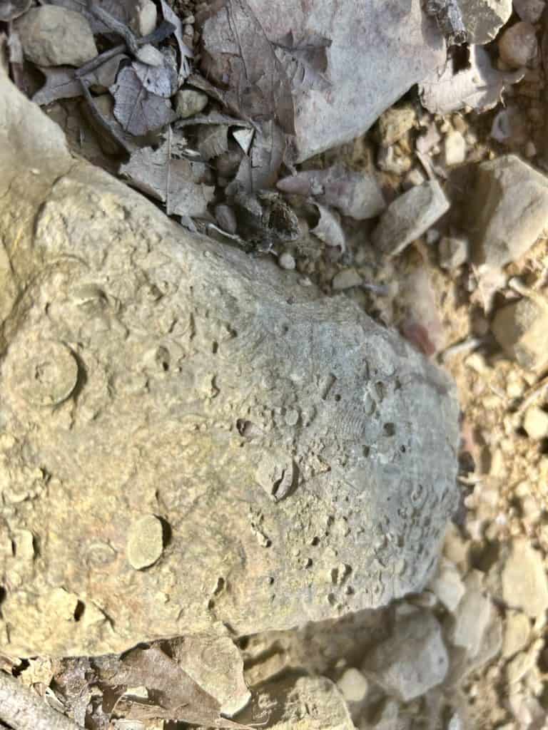
Fossil on the Trail
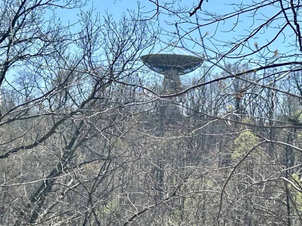
Beam me up
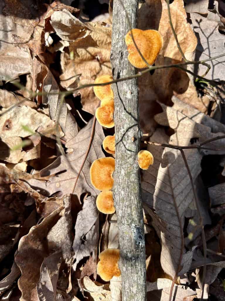
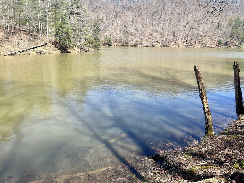
Eagle Lake complete with eagles

Our first turtle
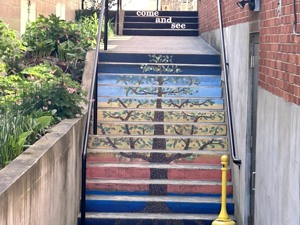
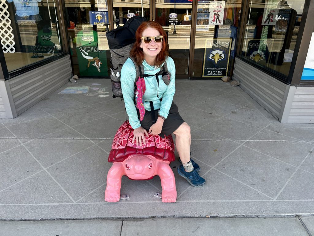
Turtles!
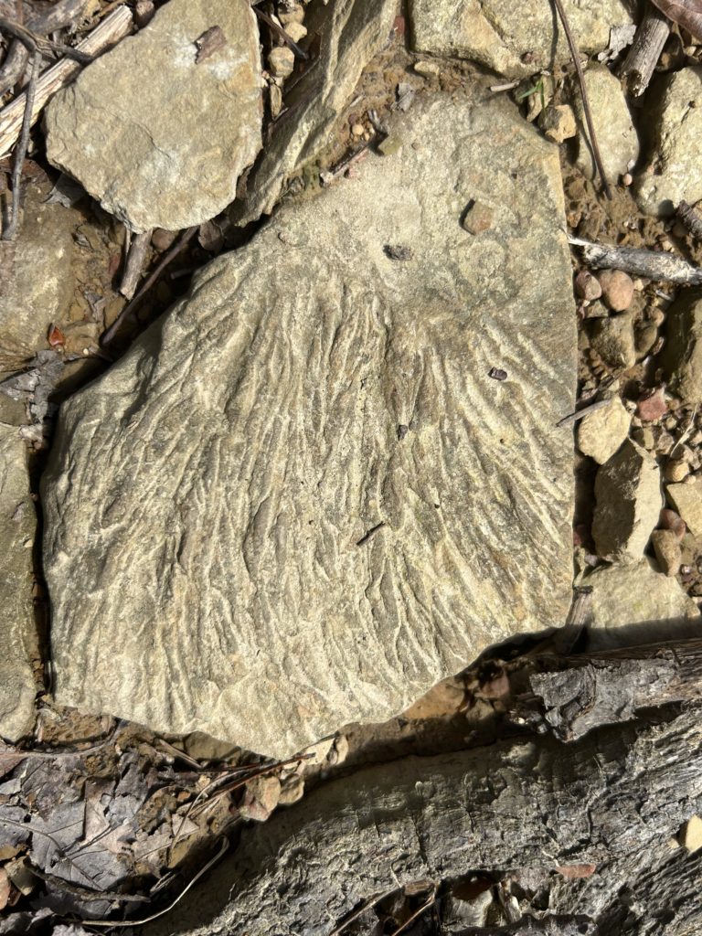
Fossil time

Fossil time
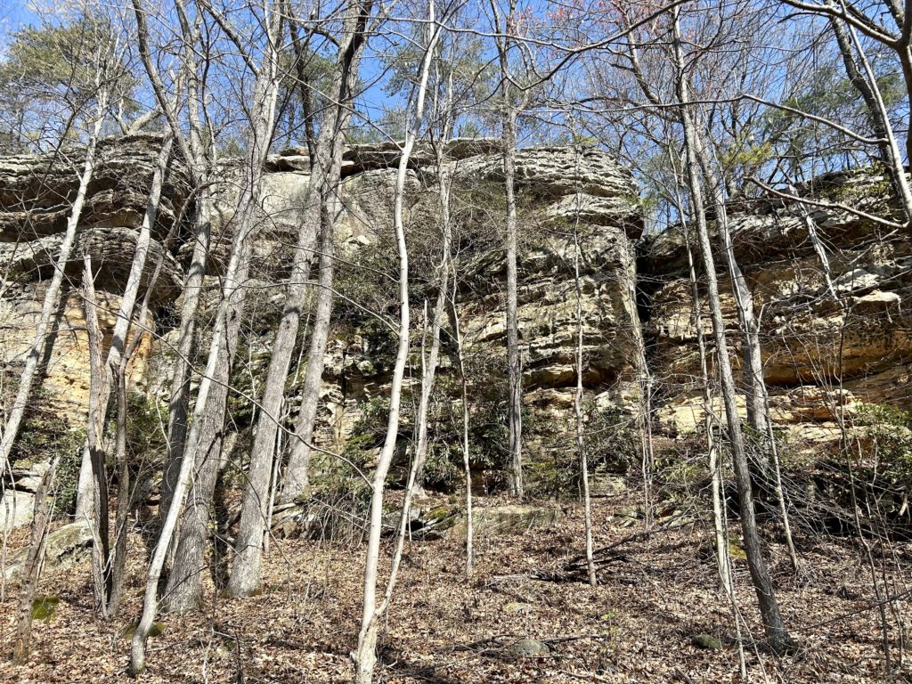
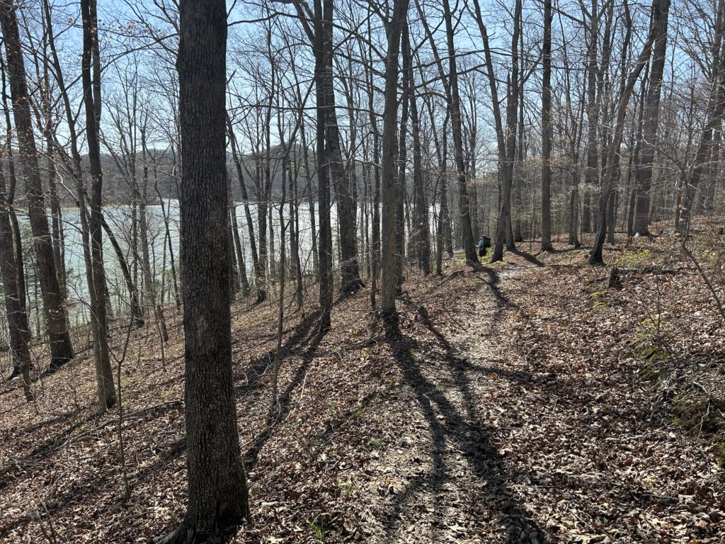
The next 10 miles winds its way down to Cave Run Lake where you come to the nicely done Visitor Center and another turtle! Take your picture with the turtle before heading over the dam and back into the woods by Stoney Cove. The next 8 miles goes along the Lake while following side streams upstream a bit into pretty hollers, crossing it and making it’s way lakeside. we camped past Candy Fork where the Old Sheltowee meets up at a trailhead. The trail begins to climb up to the Cedar Cliff Area, a mishmash of big boulders, columns and an arch or two. Might be a good place to take a break and see what landforms you can find or follow the trail a little longer and get some water if the climb has knocked out your supply. Shortly afterwards drop back down to Clear Creek Campground before climbing steeply to a rocky shelf where a little light scramble delivers you to the rocky ridge top as you make your way. Now you notice that this is the Cumberland Plateau that you have been waiting for, Cliffy and rugged. Soon the ridge mellows for easier travel and more time look around at the stupendous scenery you have stumbled into here. When the cliffs to the right of you get steeper, keep an eye out for Furnace Arch on a ledge slightly above your head. Stay high for a bit before dropping down to Hwy.1274 and keep your eye’s peeled for a small camp spot on the right next to a small pond before the tread drops off to the highway, you should camp here. In a short bit before the big plunge, look for a small spring that will have better water. The next day, get down to Hwy.1274 where you make a left and then onto a couple of smaller roads for 3 miles before returning back to the wilderness by Clifton Creek. This was a nice spot to get in for a dip with nice pools that can delight the hot hiker. Pass by a small waterfall on the left that has seen a bit of partying now and again. Now is the time for the final push to the Corner Ridge TH, which is the Red River Gorge section. The next 4 tedious miles of road walking will take you to this lovely section, along the way is Tar Ridge Union Church with a water spigot that is straight from heaven for power drinking on a hot day.
Cave Run
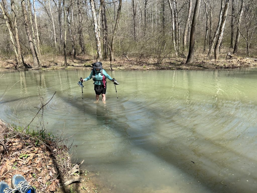
Crossing the edge of the Lake
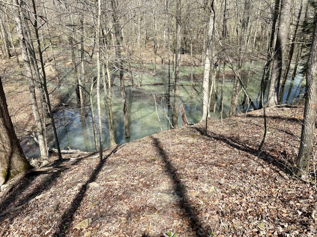
Where are the crocs?
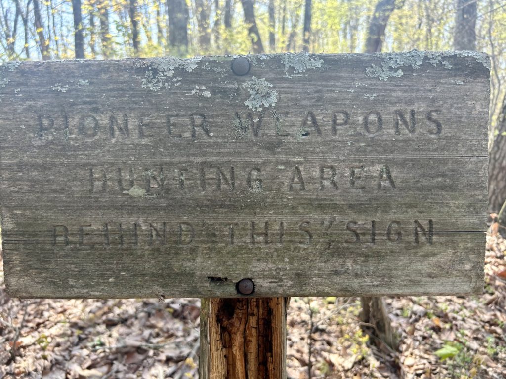
Whatever floats your boat
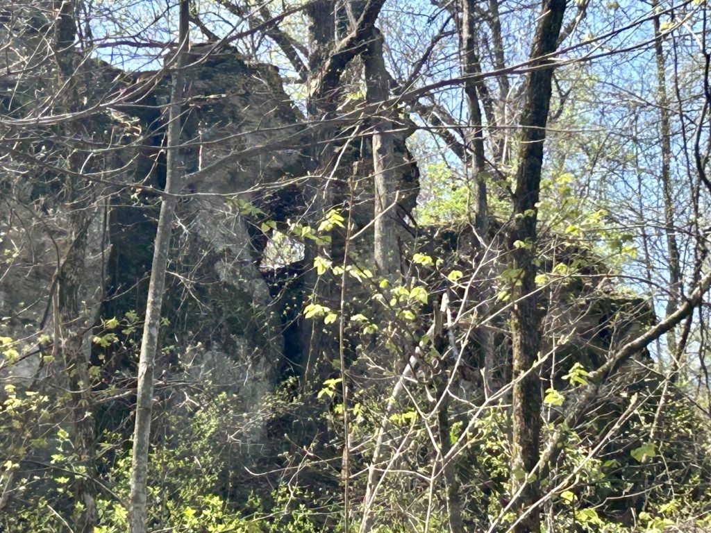
Oh, you know, just a random arch
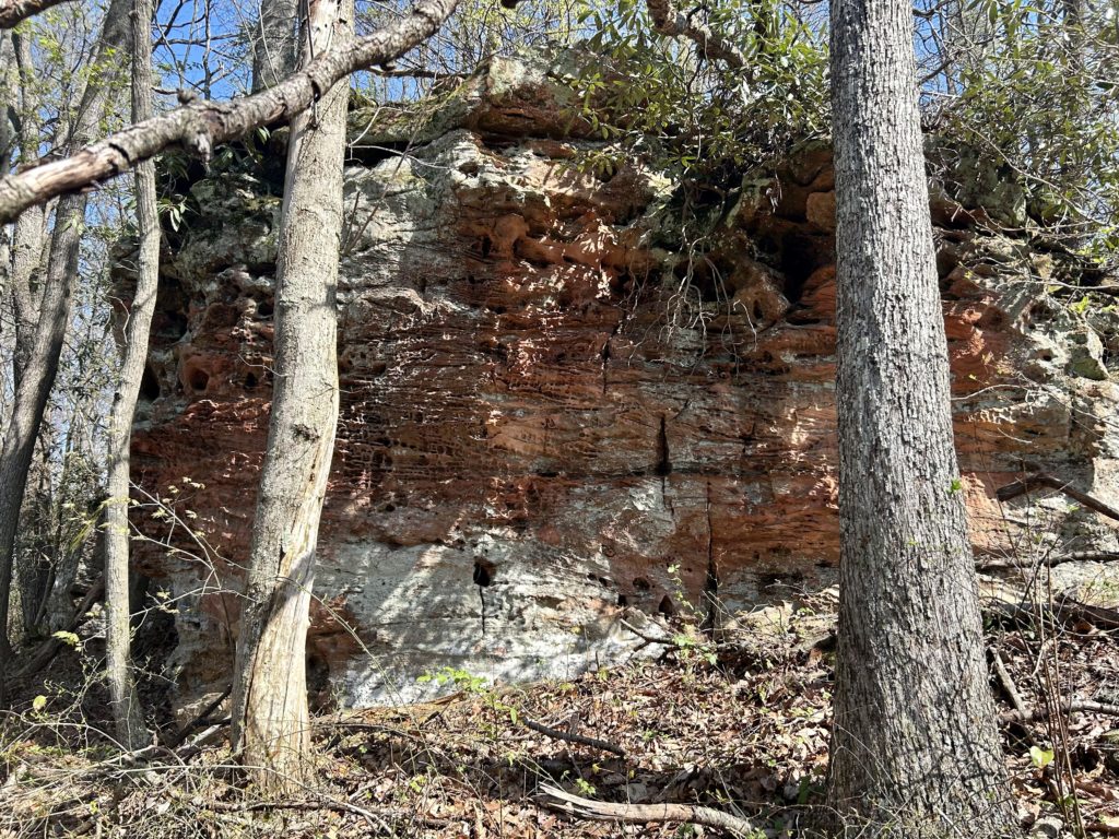
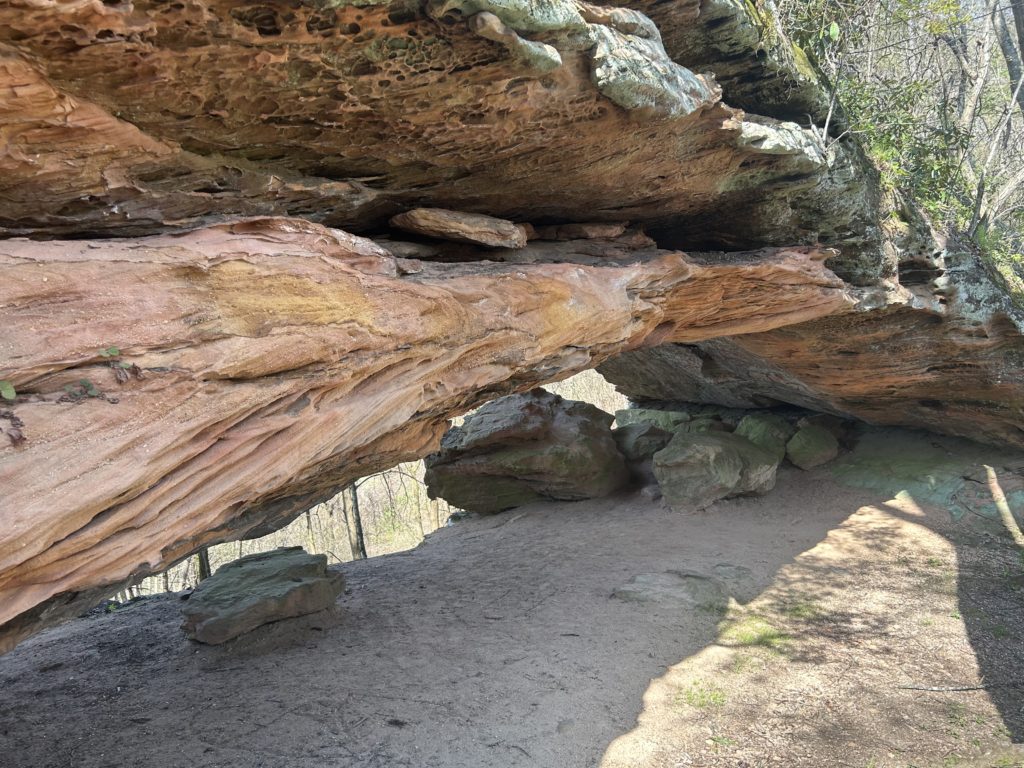
Furnace Arch
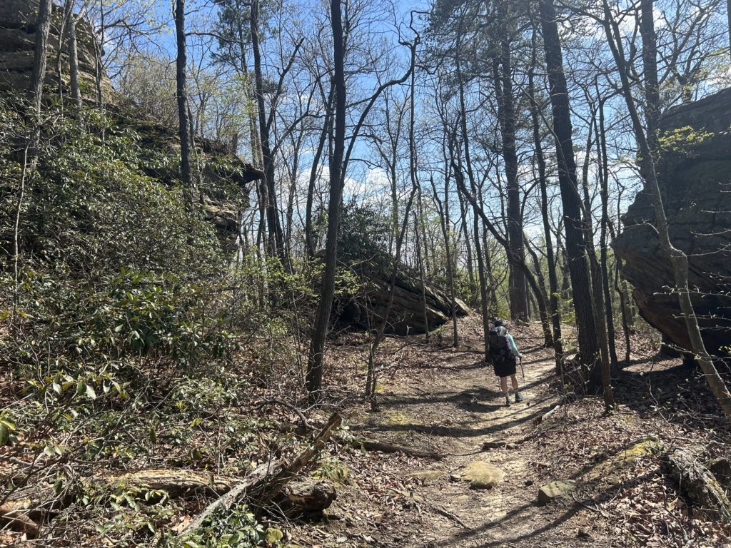
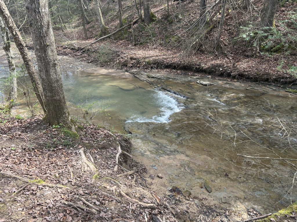
Swim spot on Clifton Creek
As soon as you get to Corner Ridge, you know that you are getting to the good stuff. The way down to Gladie Creek and Salt Fork embodies all the elements that make the Cumberland Plateau special, big cliff rows, large boulders and a diverse forest makeup. Find a great camp above Sargent Creek just before an intersection with Bison Way TR. Small pools can be found below on the Creek for water and taking in the lovely Red River Gorge scenery. After a great night, begin climbing to nice cliffy sections above. A small staircase delivers you to Indian Arch on a wind blown step. I remembered the Arch fondly from when I moved from Portland back out east again to try guiding out here. Staying with my Brother in Lexington, I did a few trips exploring this geological wonderland! Back on the Trail, you drop down to a bridge less crossing of the Red River. Wow! This bridge got jacked up bad from a nasty wind event last year and is definitely not sound anymore. Looks like some looney people have tried to cross it anyway, that’s crazy, good luck with that. It hasn’t rained in a few days and it was up to the top of my legs with a mellow current, I think if any thunderstorms have rolled through for you, it should be all good. This next section has a lot of really good stuff to see if you have the time! Indian Staircase, Cloud Splitter, a grip of off trail arches await for the hungry hiker. If you are like us and want to get your re supply at Hemlock Lodge, just be on your way and save the exploring for another overnighter. Drop down to Whittleton Branch where you should take a split to the same named Arch, it leads back to the Trail anyway. I was getting shot out from the heat, so we stayed at Hemlock and got our mailed grub. The area and lodge are in a rad location and have good dinner options. A welcomed oasis for a weary traveler for sure, so enjoy. Take the Sand Gap TR up to the Natural Bridge that looks like it could have been made by human hands. Squeeze through a narrow crack to the top of the Arch and make a right and be free of the tourist madness around you. Follow this ridge while peeking over your right shoulder to see the folks going over the strikingly flat top of the Natural Bridge, an amazing sight to behold! Go over Whites’s Branch Arch in a rocky section to some wooden beams that signify the end of the Red River Gorge section, 89 miles in.
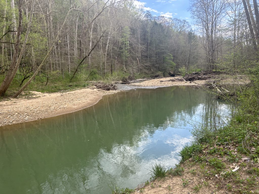
Gladie Creek.
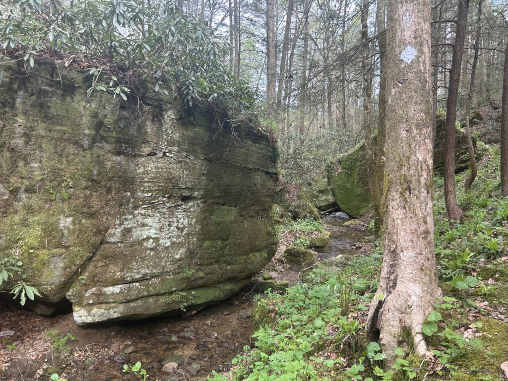
The good stuff
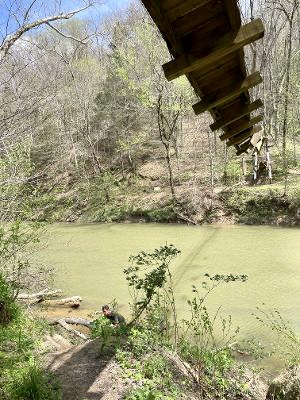
The Red River
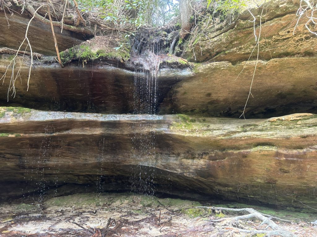
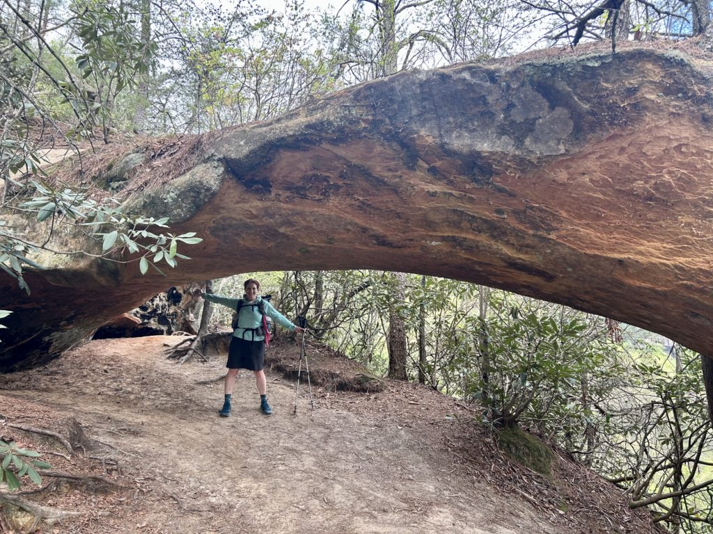
Indian Arch
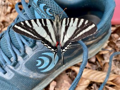
Hi ya’
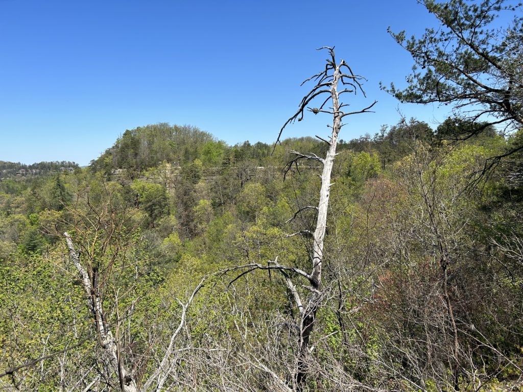
Zoom in, you can see all the people walking on top of the bridge. It’s an amazing sight
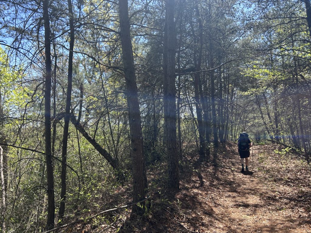
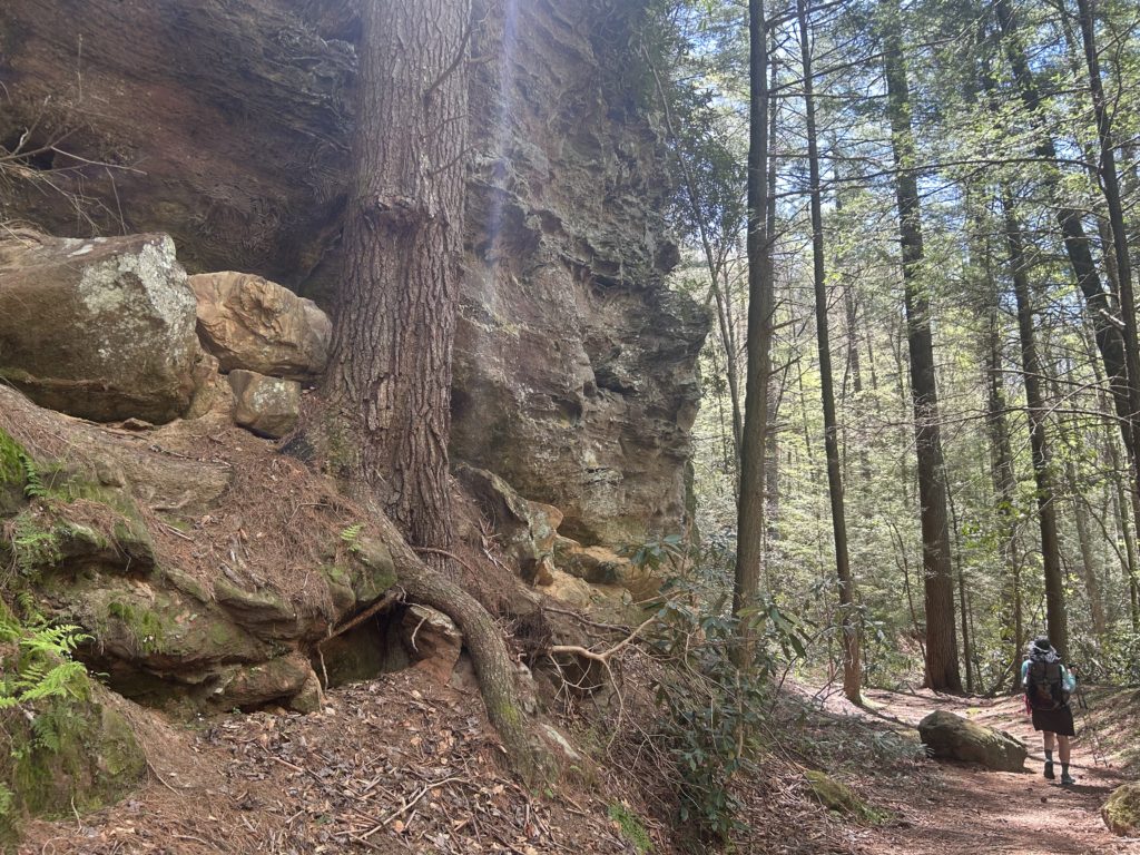
Cruising out of the Red River Gorge
