Momentous Adventures-The Black Bear Traverse (part 1)
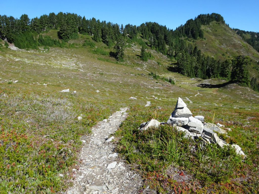
I originally read about the 107 mile Black Bear Traverse in the book Trekking Washington by Mike Woodmansee and was drawn in. After doing numerous treks in the Olympic Mountains, I was ready for a challenge and I got it. I took 7 days to do the trip and would feel comfortable saying that 8 days would be the most I would recommend due to rough and rugged trails, and 6 would be to little of time for any amount of enjoyment. Start out by dropping a car or bike off at Graves Creek trailhead and backtrack 6 miles to a right turn to Irely Lake trailhead at. A total of 10 miles of mostly smooth dirt road separate the two trailheads, about an hour bike ride along the lovely Quinault River. Start off early in the morning and begin a slow climb of 2700ft. through the forest to the Three Lakes Camp, the first spot to spend the night, however a lunch spot for this trek. Continue up to an intersection with the Elip Creek trail and stay left on the Skyline Trail as the trail condition gets more primitive and the scenery improves, a fair trade. The forest opens up and small pockets of meadows and tiny ponds as you enter the Three Prunes Creek area with views of the surrounding mountains, a wonderful place to spend the night. Here’s the catch though, the next possible camp with water is 6 miles ahead by Kimta Peak along a very rough tread so look at the time and your energy level. You can pick up about 4 liters of water and camp at a dry but great camp high up on Skyline Divide, or take the plunge and try to get to Kimta Basin. I would go with the dry camp idea and pick up water in the morning.
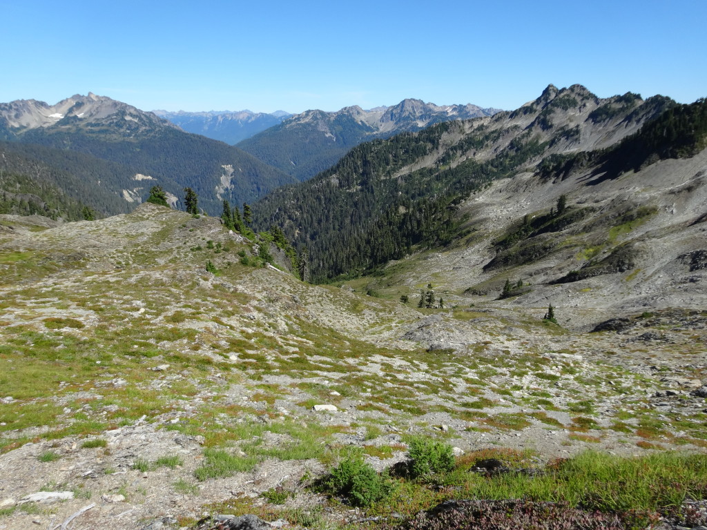
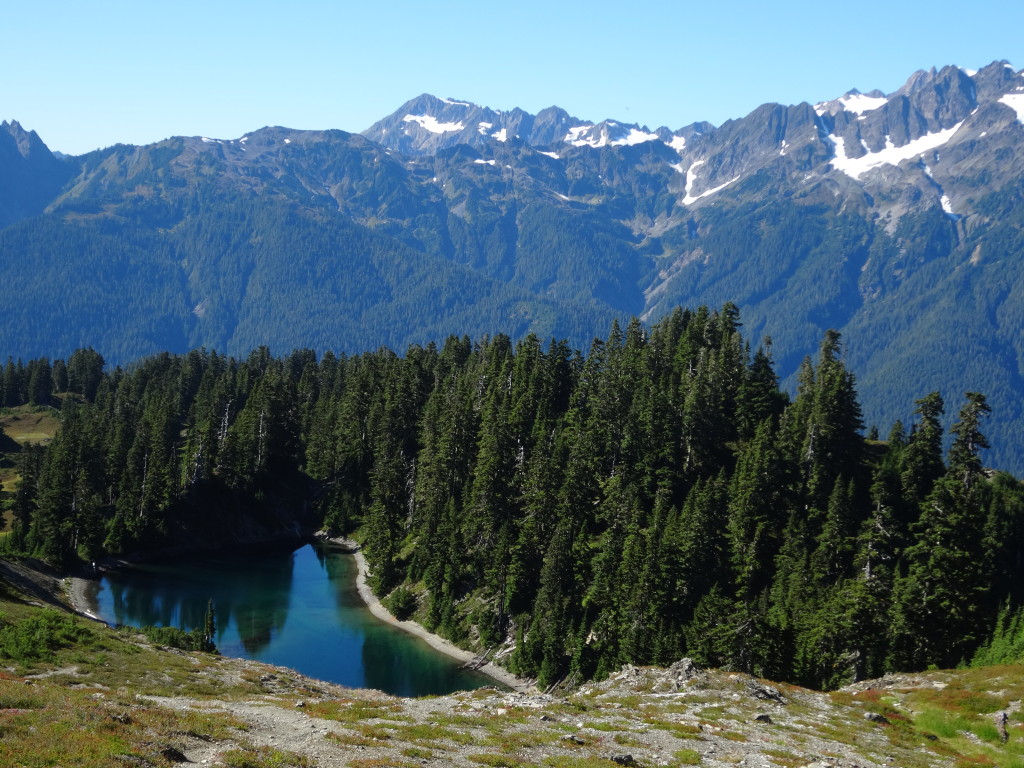
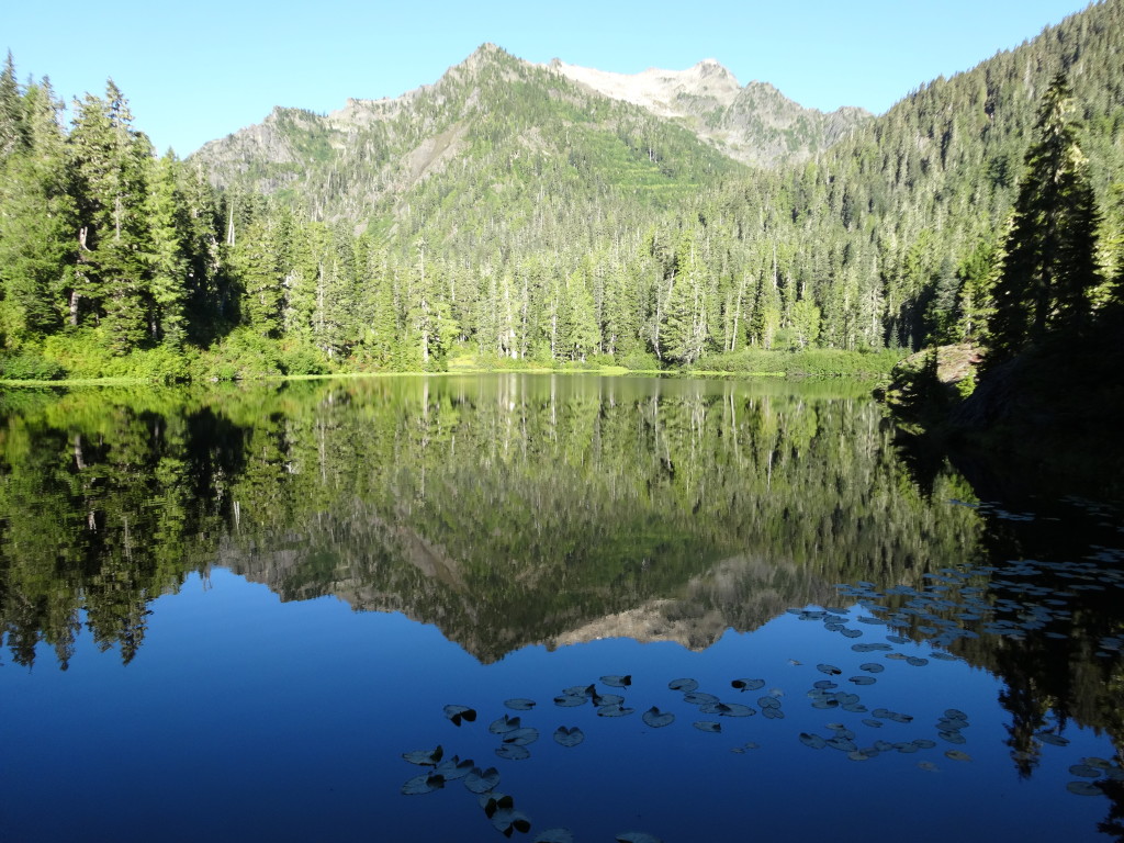
Continue hiking past Three Prune Creek and higher onto the ridge. Views along this stretch are truly some of the best in the whole park as you can see the Quinault River meanders to the Pacific Ocean and views to the core of the Olympic Mountains will take your breath away. The trail finally starts leveling off as you enter a meadowy basin, your camp for the night. Start out early the next day and climb and descend the rugged Skyline Divide, I recommend pacing yourself and taking proper breaks at water sources in order to maximize your time by filling up on water while enjoying a snack. My Green Trails is not true to the contours of the current trail and shows the trail following the base of Kimta Peak in a clean traverse to a pass. The real trail drops several hundered feet only to climb up to the pass then loops a hard left while following cairns in an alpine basin to the intersection to Lake Beauty. After savoring the view of the lake continue along the trail as it winds through lovely meadows before dropping to Seattle Creek and grab some more water before the final climb to a fantastic sub alpine wonderland above. The trail finally starts to level off as you wander under the shadow Mt. Seattle in perhaps the best section of the whole Skyline Trail. Drop down to the Low Divide and its lovely camps on both sides of a meadow under substantial tree cover and enjoy another sunset. My map says 29.5 miles for this section but due to obvious changes to the trail I would guess it closer to 33 miles and two full days of hiking.
Mount Christie

