Weekend Gem-Hidden Passages Loop
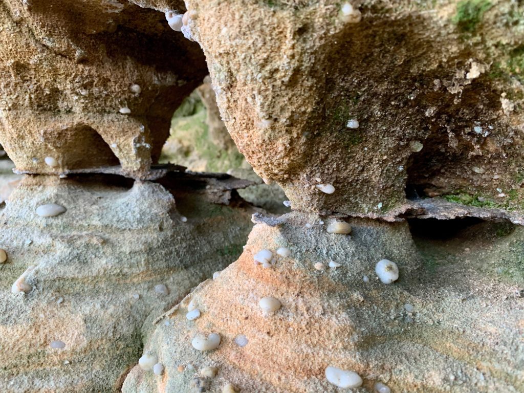 This amazing trip has the adventurer in all of us in mind. Crossing through and climbing up overhangs and cracks in the begining and end of this loop as a rite of passage. Toss in a quiet lake, viewpoints, waterfalls sprinkled with a few arches and you have a recipe for a great time. Round up your gear and make your way to the Gobblers Knob TH and start out this 29.9 mile loop. Park your rig and cross the road to the wagon trail of the same name and make that right. Before long, you will notice the landscape on your right getting more dramatic. This interesting cliff looks like something closer to creek side landscape then belonging to this dry spot of the Park. I’m going to look into how this sucker was created, I imagine it’s wind related. You’ll pass by a offshoot to the right, skip that one by. Next up is Twin Arches Rd, keep on truckin’ on your way. Next up, you will reach a intersection that says “Middle Creek Equestrian TH-1.9 miles” where it should say 1.4 miles like the wildly inaccurate Nat. Geo Map says, make that right onto grassy Middle Creek Rd. Hit Divide Rd and make that left and stroll on until you reach Watson Branch Rd. and you make a right. This gravel road is pretty scenic and open as far as roads go out here, keep your eyes peeled for critters. The road goes down to HWY 154 where, if you have time, check out Pickett Lake in the S.P. on the other side of the Highway. Make a right over a bridge by the cabins and soon you will reach an amazing arch in it’s cheery green water. If not, make a right onto the lightly traveled highway, cross Thompson Branch and climb a bit until you reach Hidden Passage TR on your right and take it. This super cool trail stays right on the Sheltowee and soon passes Column Arch, complete with a small window. Next up is the Hidden Passage itself, follow the white blazes under the overhang and enjoy. Drop down to Crystal Falls, which is a few feet off the trail on a unmarked side way trail. It has been a pretty long day so far with the side trip to the Lake Arch for me. Bunker down in one of the primitive sites outside the State Park where small springs pour off the ledges above. The trickling sound is quite nice to fall asleep to.
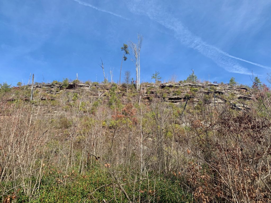
Gobblers Knob
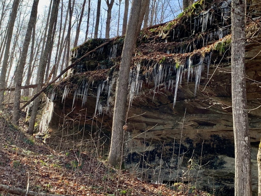
Ledges on GK Trail
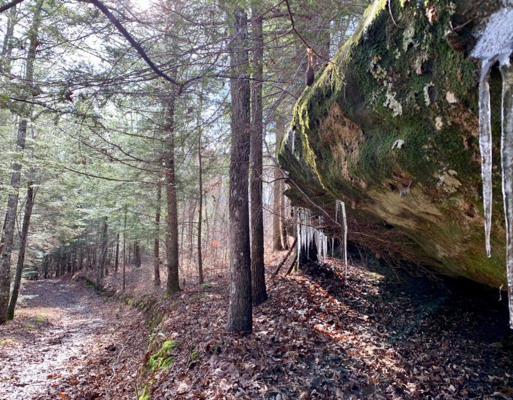
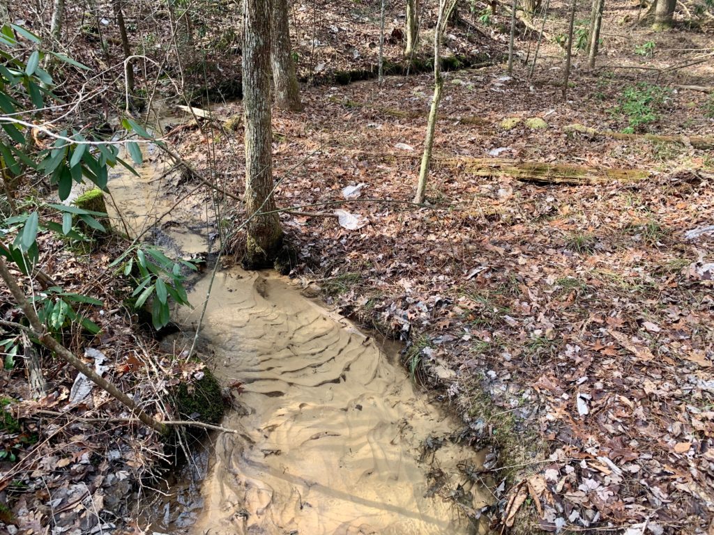
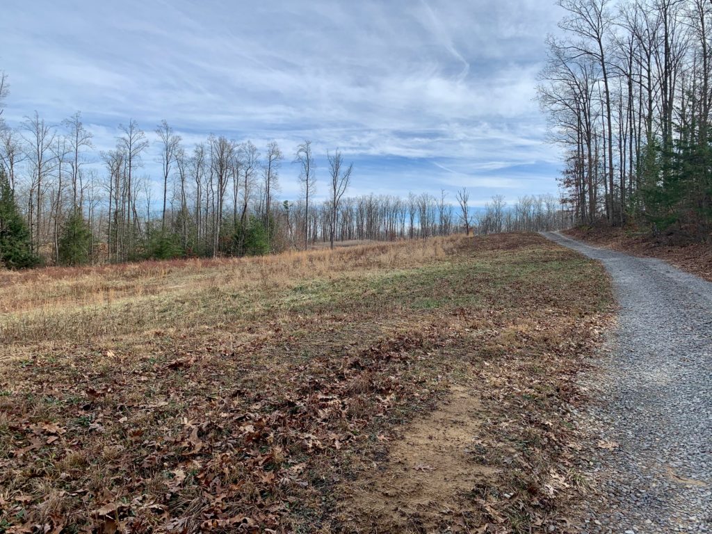
Watson Branch
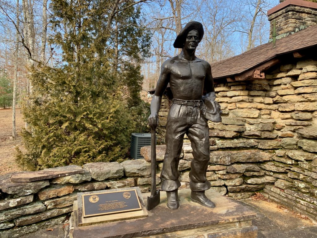
The CCC. Such a wonderful idea, we should bring it back!
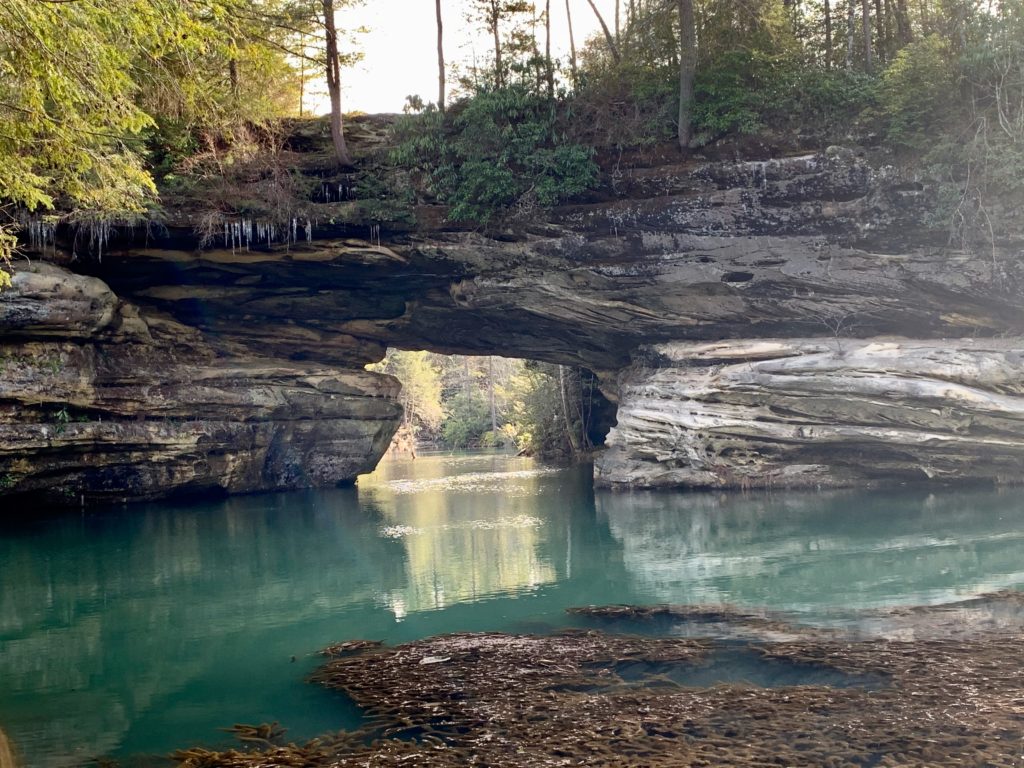
Lake Arch
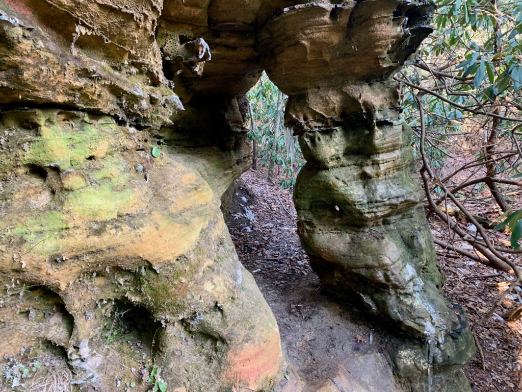
Column Arch
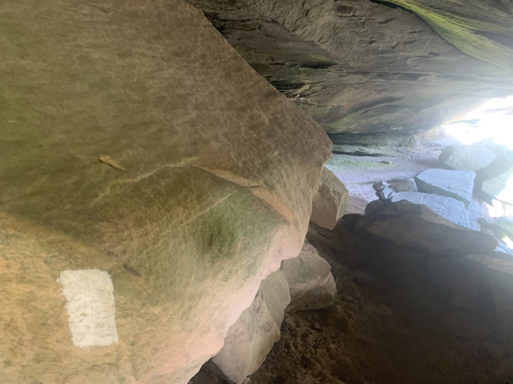
Hidden Passage
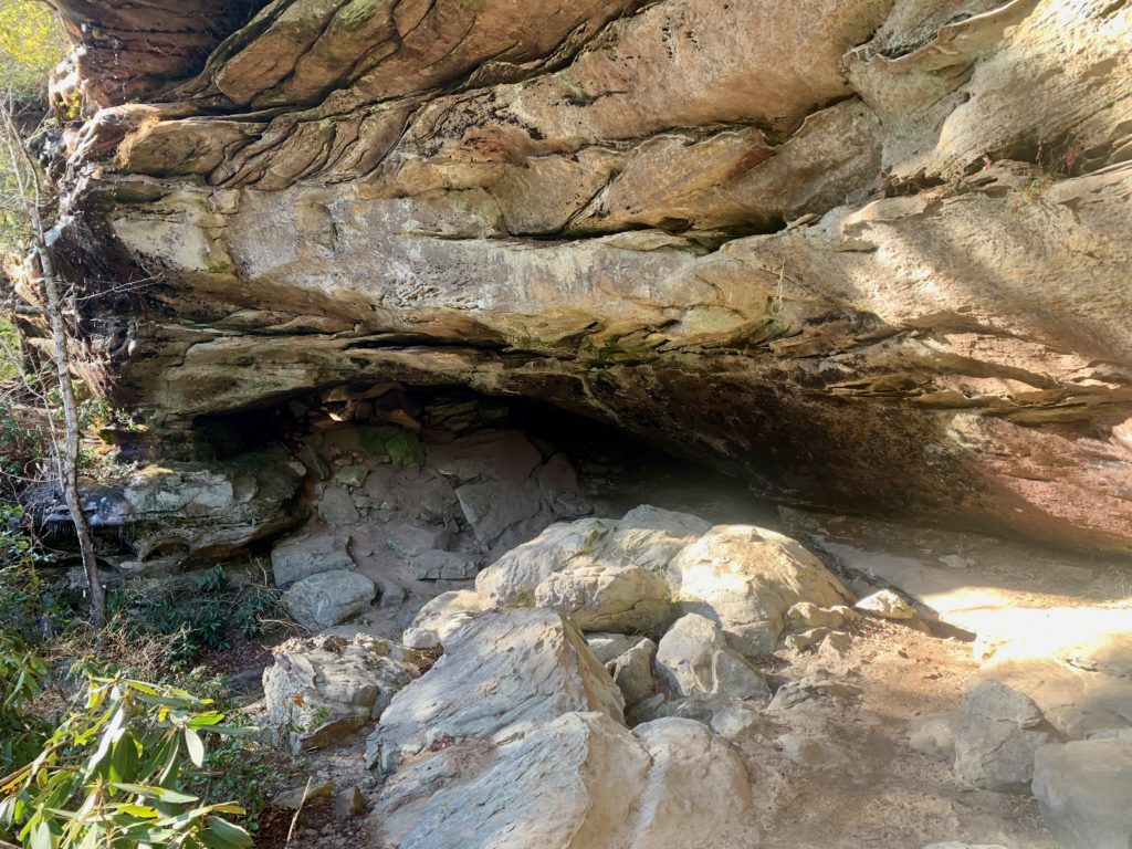
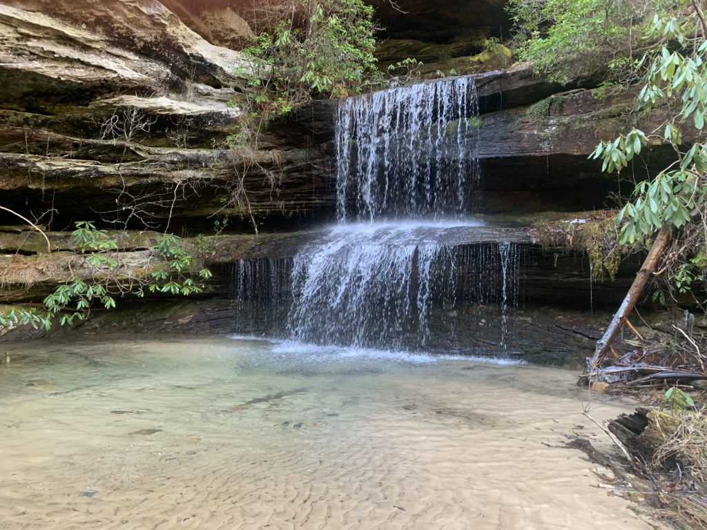
Crystal Falls
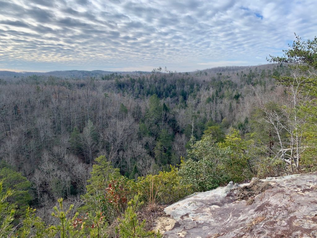
Ahhhhhh, what a restful night. Wake up refreshed and after a cup o’ joe and some spicy grits, pack up and hit the trail! After a couple more small overhang falls that you contour, you begin a short climb up to a road and Thompson Overlook where you can hear the namesake creek descending below to the valley floor. Next up is the 1 mile trail down to Double Falls. It sounded pretty far down, so I kept on truckin’. The cliff sides here are peppered with small arches of all shapes and sizes. If I were you, I would stay for a spell and check out these geological wonders, I didn’t want to leave. An intersection into the cryptic Tunnel TR. is next. Check the man made tunnel out if you like, but it dead ends soon. Head left at the intersection marked for Rock Creek Loop and continue on the Sheltowee/JMT. The next couple of miles stays along a creek and has a more isolated feel than other areas in the Park. When you get to Massy Branch you will discover a nice camp and a split for the end of the Rock Creek Loop, stay left and climb up to Divide Road. Hop over the road and descend down to Alder Branch. Climb out of that drainage and drop down to Rough Creek in a cool side canyon. The next intersection you turn right away from Chestnut Ridge TR. following a sign to No Business Overlook. Head along on flat tread before steeply climbing up to to the Overlook. Soon, the views open up downwards and across the No Business Valley. Stop and admire this view from the rocky outcropping, it is one of the best in the Big South Fork area. The No Business area had a small community down there, and with the flat meadowy terrain down there it is easy to see why this was such a nice place to settle down. Just as quickly as it climbed up, the trail shoots back down to the creek side. Make a left and follow the Creek downstream to a awesome camp on the other side of Tacket Creek. Take a nice sip of whisky after a long day and settle in to the tranquil sounds of these creeks flowing, life is good!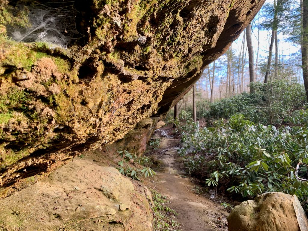
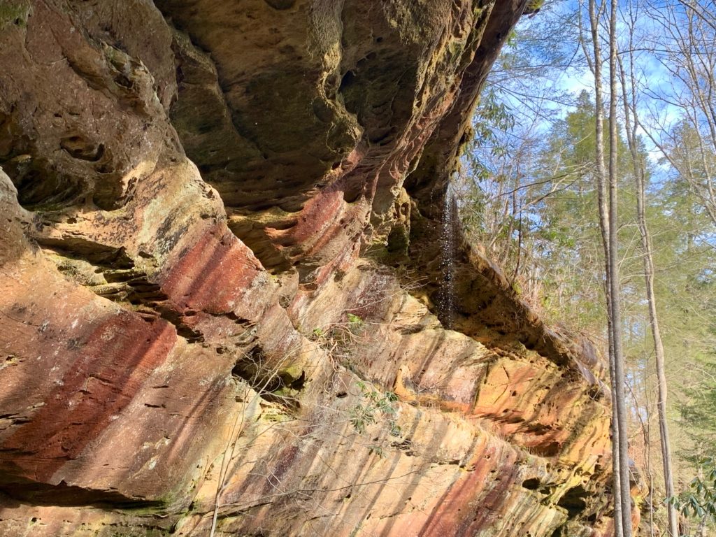
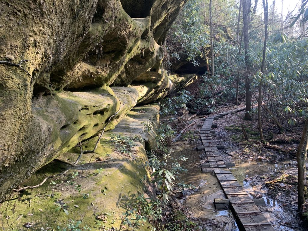
A grip of small falls along Hidden Passage
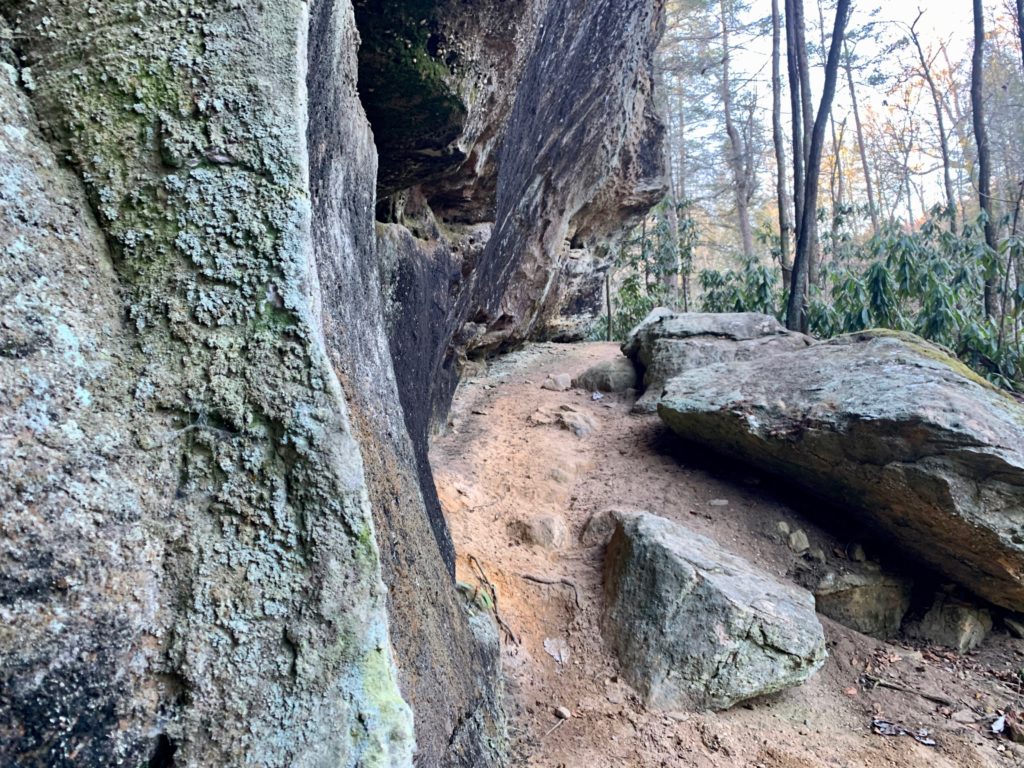
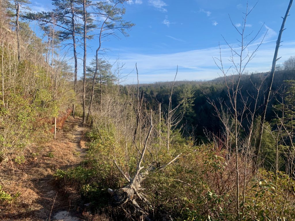
Thompson Overlook
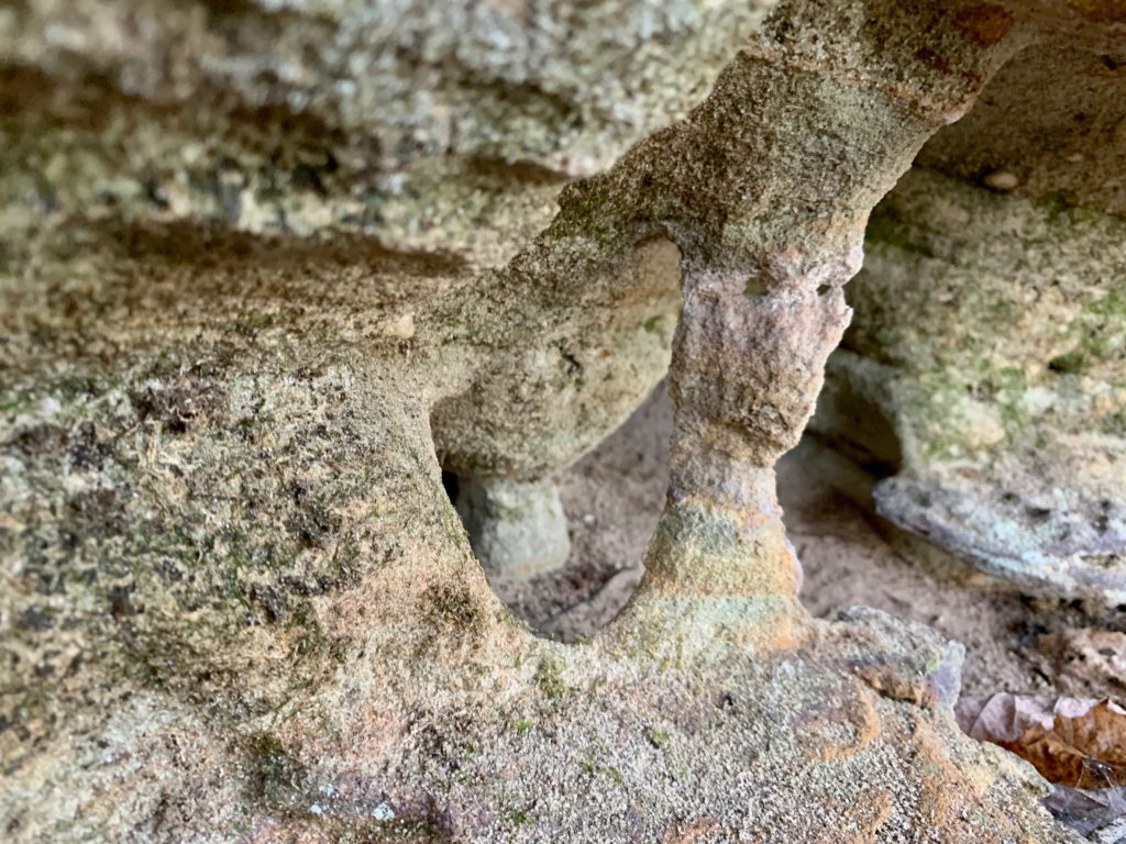
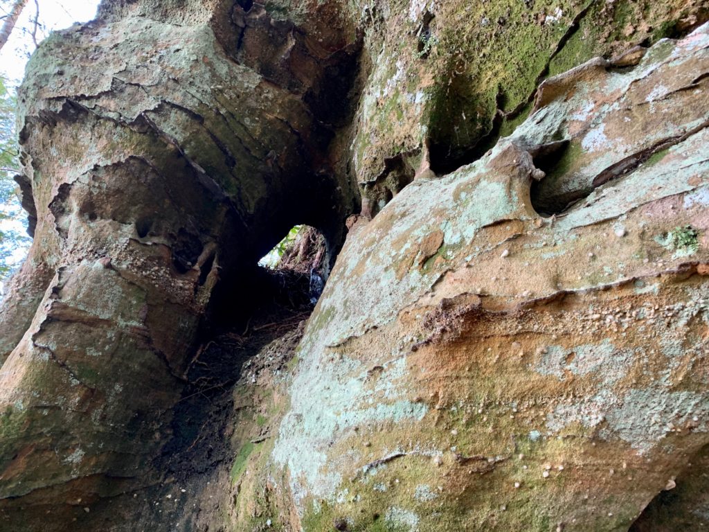
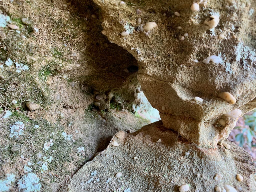
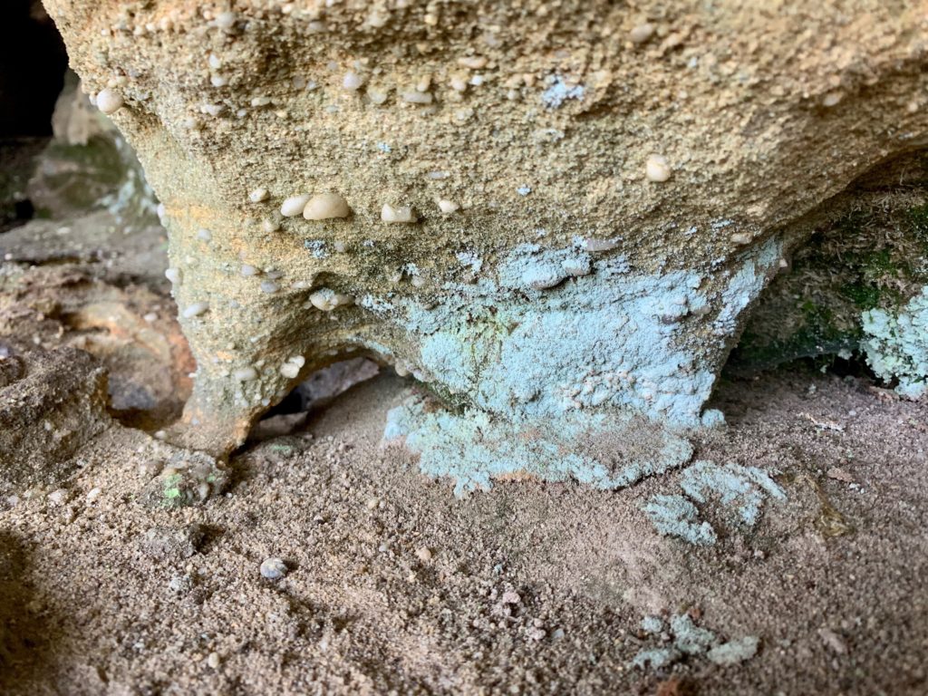
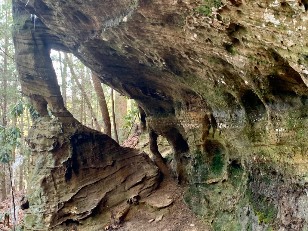
Arches all around!
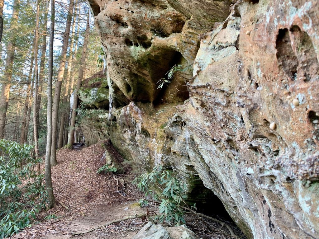
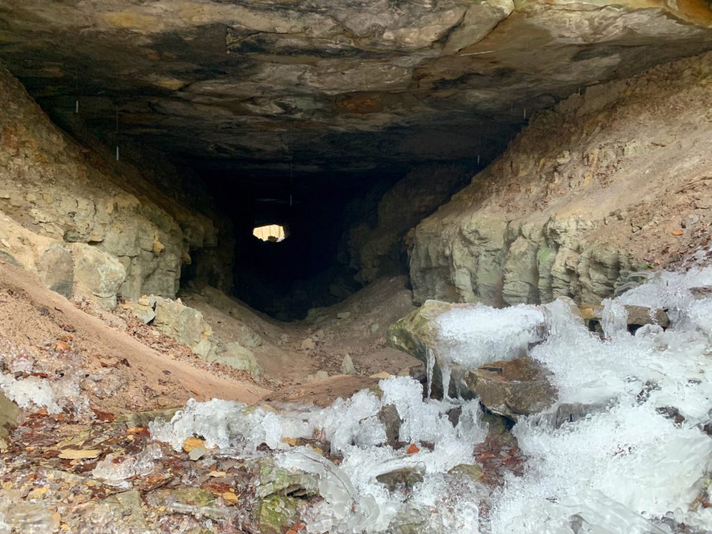
Fun huh?
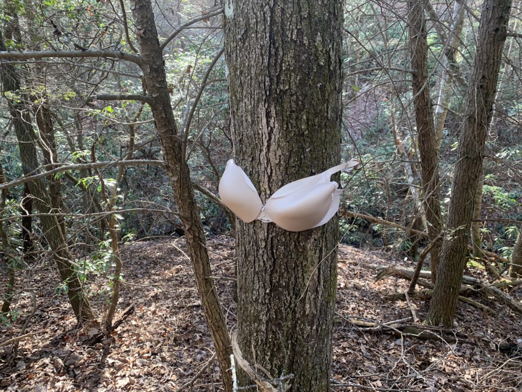
Ummmmm….
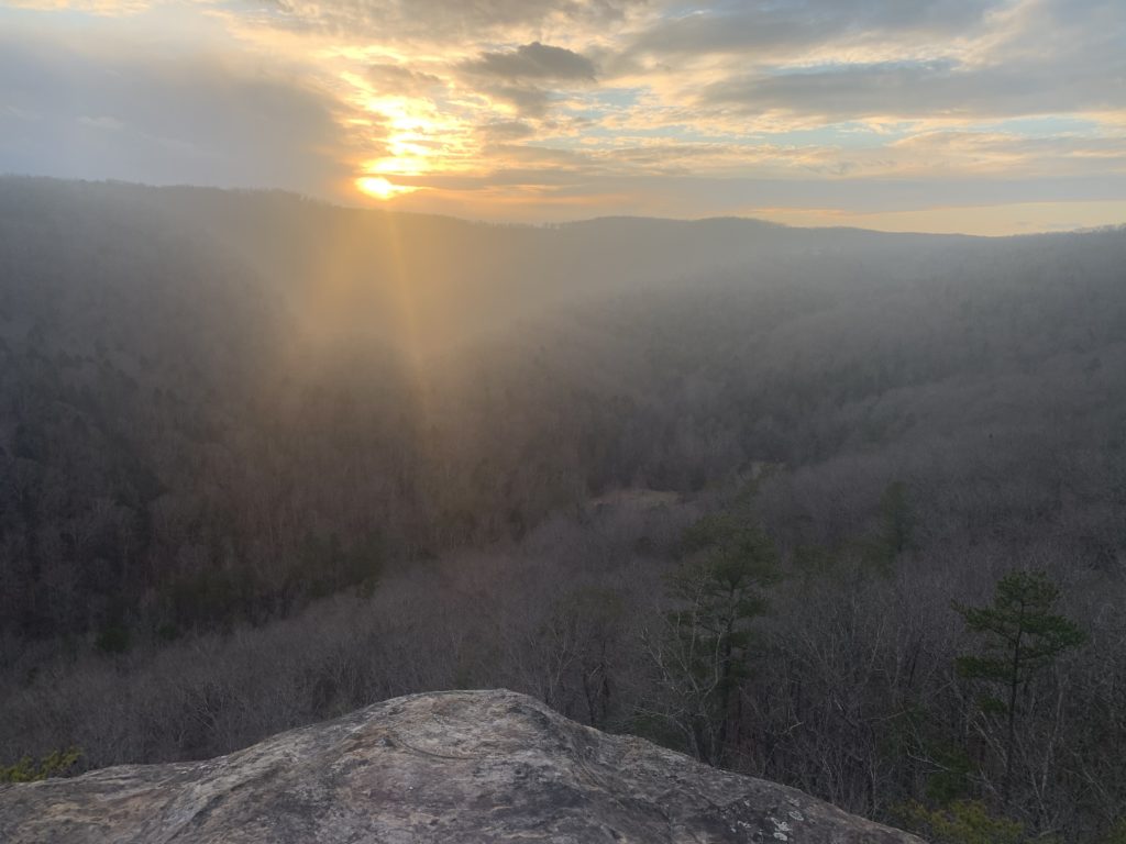
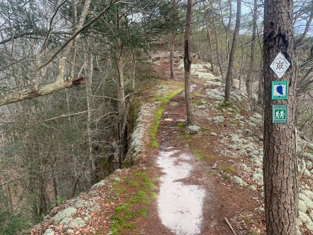
JMT Overlook
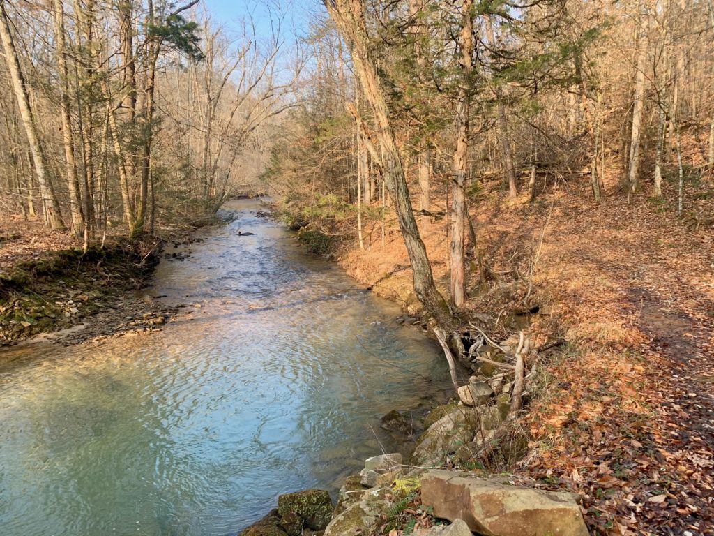
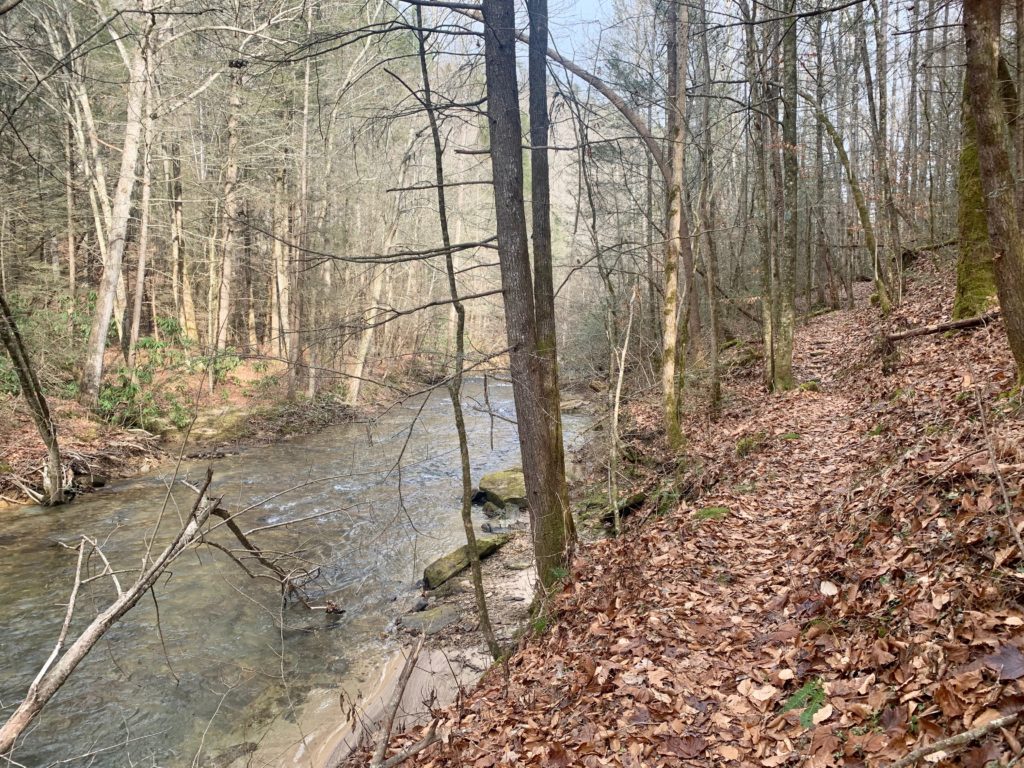
No Biz Creek
With another great night’s sleep under your belt, it’s time to tackle the last passage right? Wake up and get that life giving coffee in your belly before checking out the rest of the No Business area. For you human history buffs out there (not me) this area is one of the best preserved old towns that I know of. You can see old culverts, chimneys, foundations ect. laid out in such a way where you can almost see these invisible homesteads again. It’s literally a trip through time if you let your imagination take the wheel. Shortly after No Business you begin climbing out of that drainage and over to the mighty Big South Fork, the cliffs on your right are getting closer and taller. At a sign saying that the River is a couple of miles away, look for a crack over the left hand corner of the sign, that’s Maude’s Crack. Maude’s is your final passage of this trip and is a whole lot of fun. It was named for Maude who brought her husband lunch (who worked on the River) through the Crack. This saved a lot of time rather than go all the way around these imposing cliffs. There is a rope there, grab hold of it and head on in! The Crack is steep but there is nice rocks to step onto and climb. The way isn’t very long and the bright sun is there to greet you when you reach the top. Pop out of the Crack and you will see a sign pointing downwards “Maude’s Crack”. Take this trail as the views of BSF improve in all directions. Soon you will see Terry’s Cemetery in a fenced in area with it’s bunch of eclectic tombstones. In 4 miles and some change of road walking, drive back at Gobblers Knob TH in good spirits and dive into that reward beer and change into some street clothes. Enjoy the sun and soak in the majesty of Big South Fork before heading homeward bound.
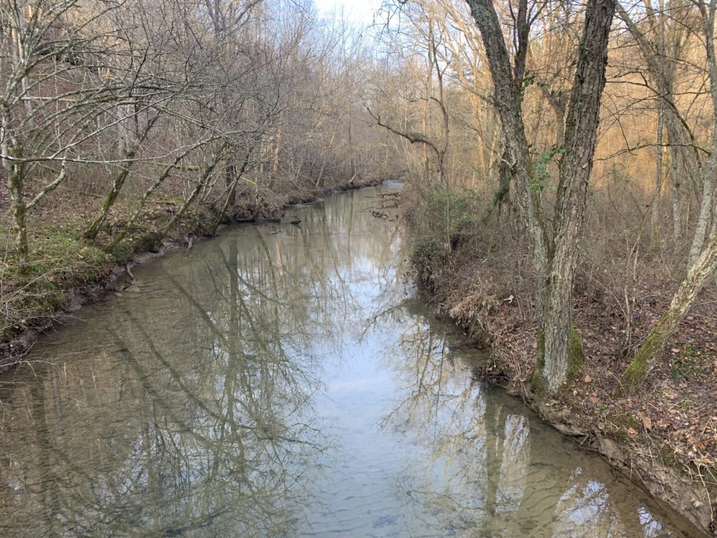
A murky No Business Creek
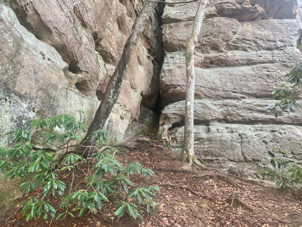
Maude’s Crack
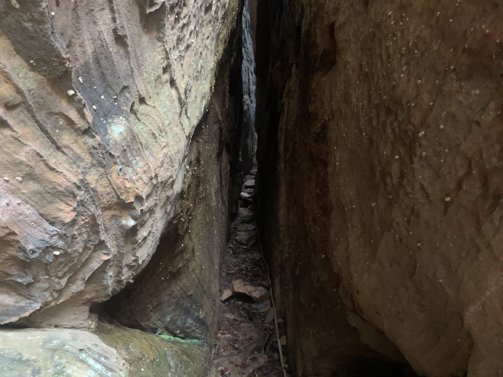
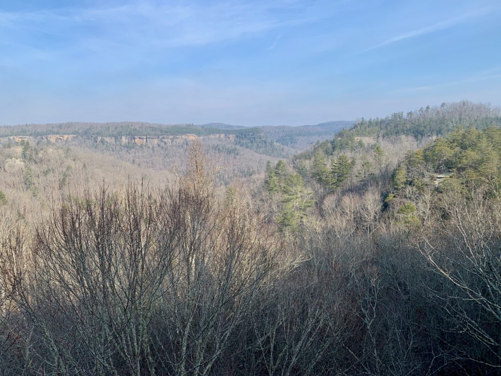
After you pop out of the Crack, not bad eh?
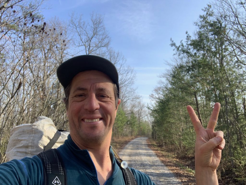
Later!
