Weekend Gem-Mt. Rogers Loop 2025
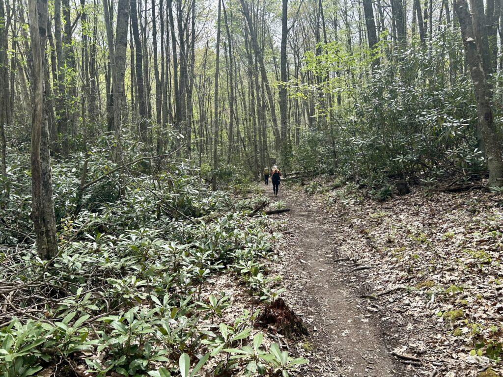
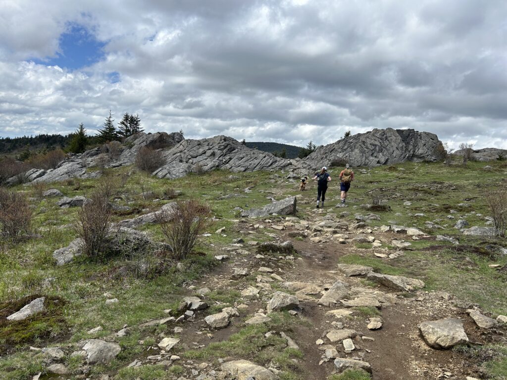
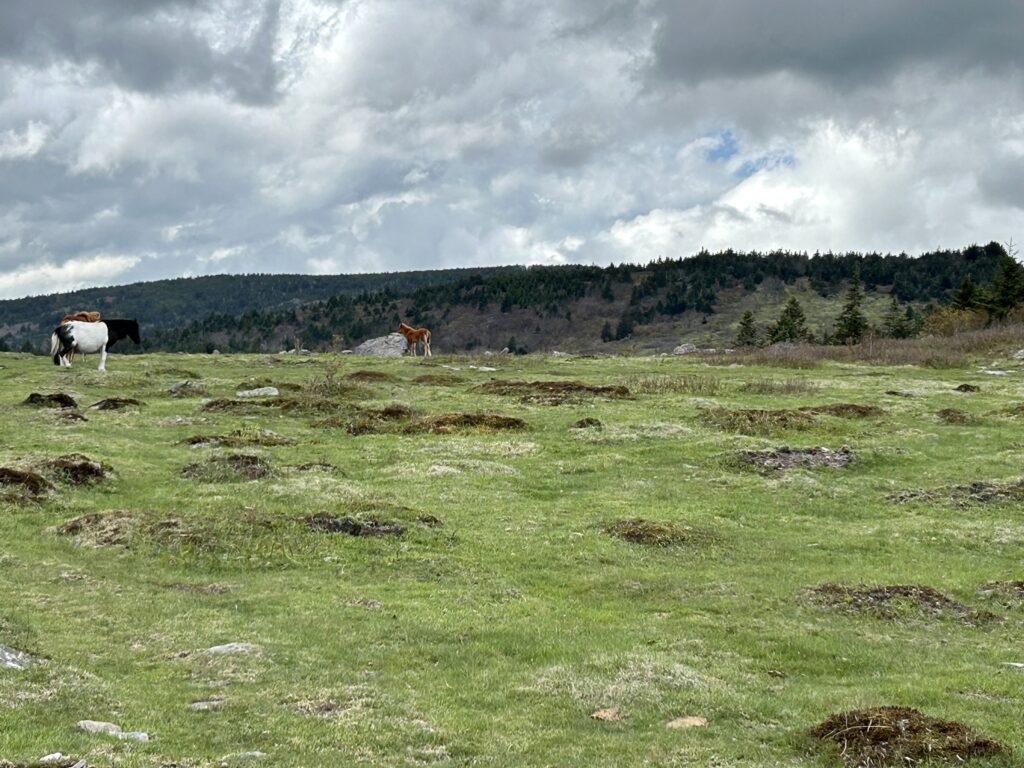
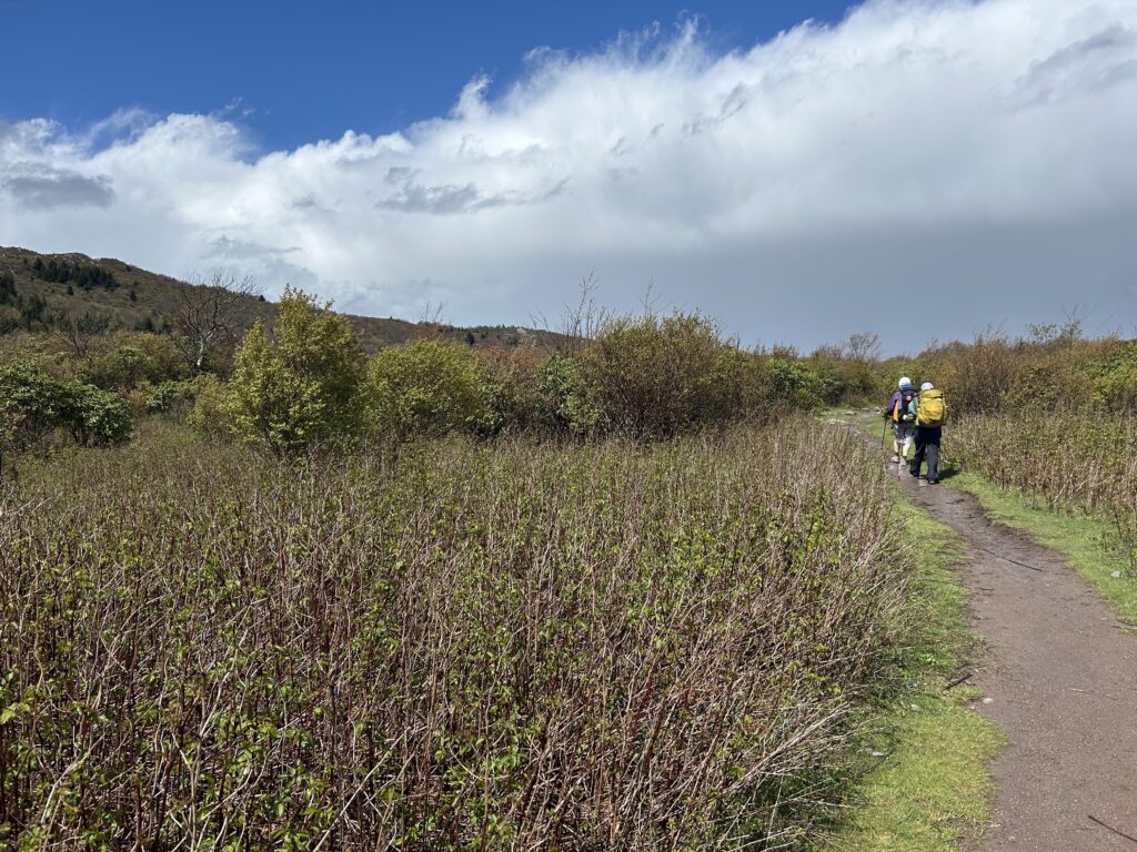
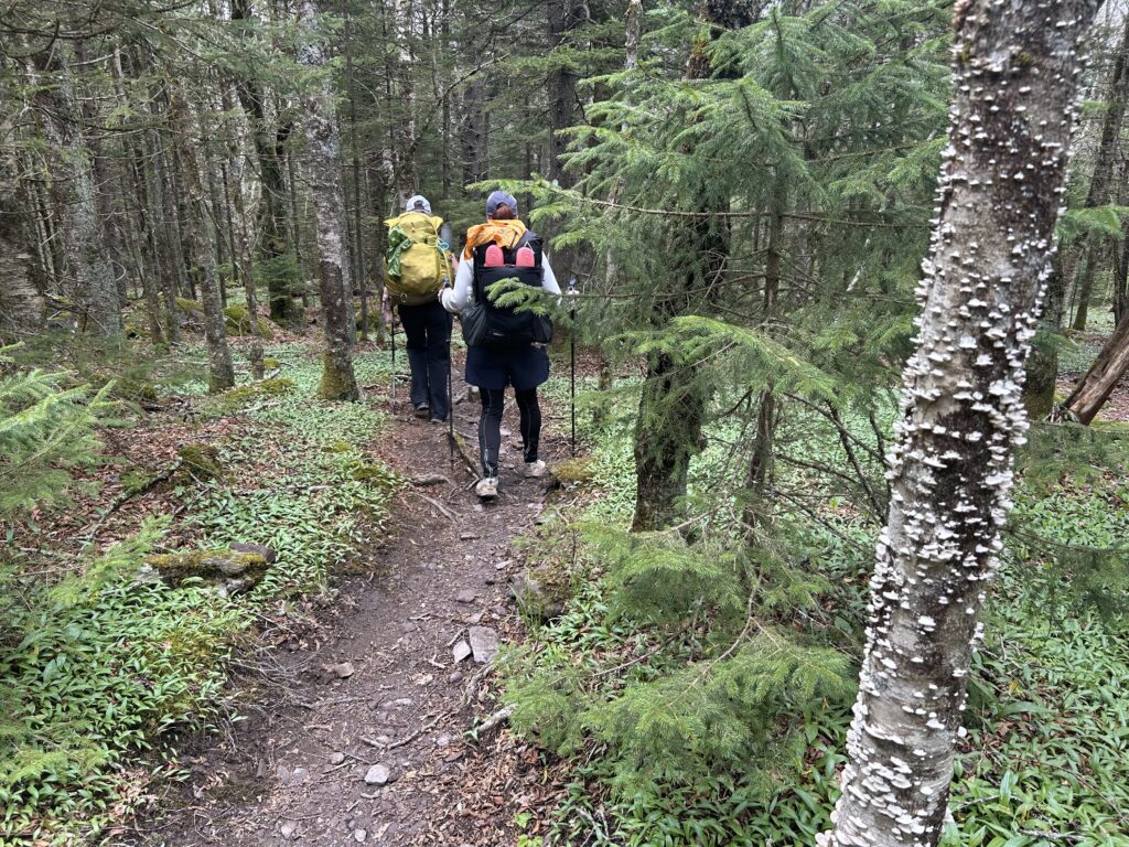
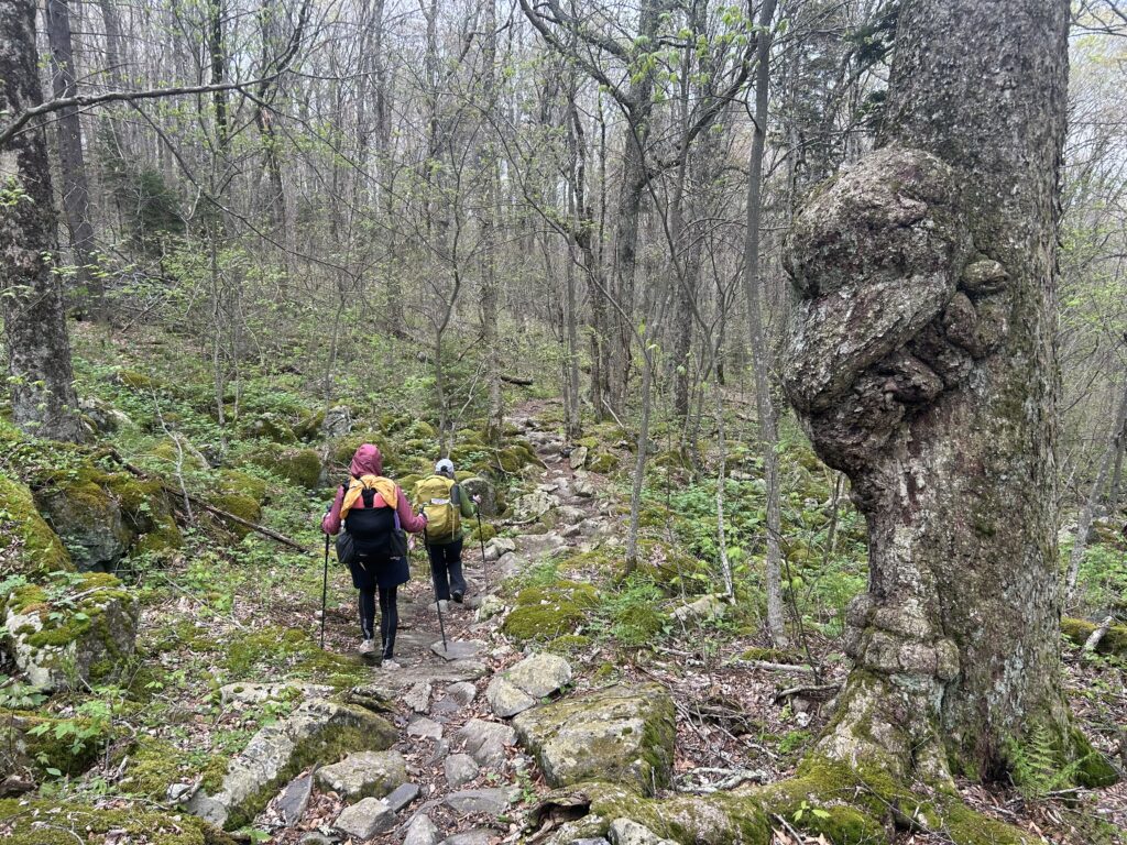
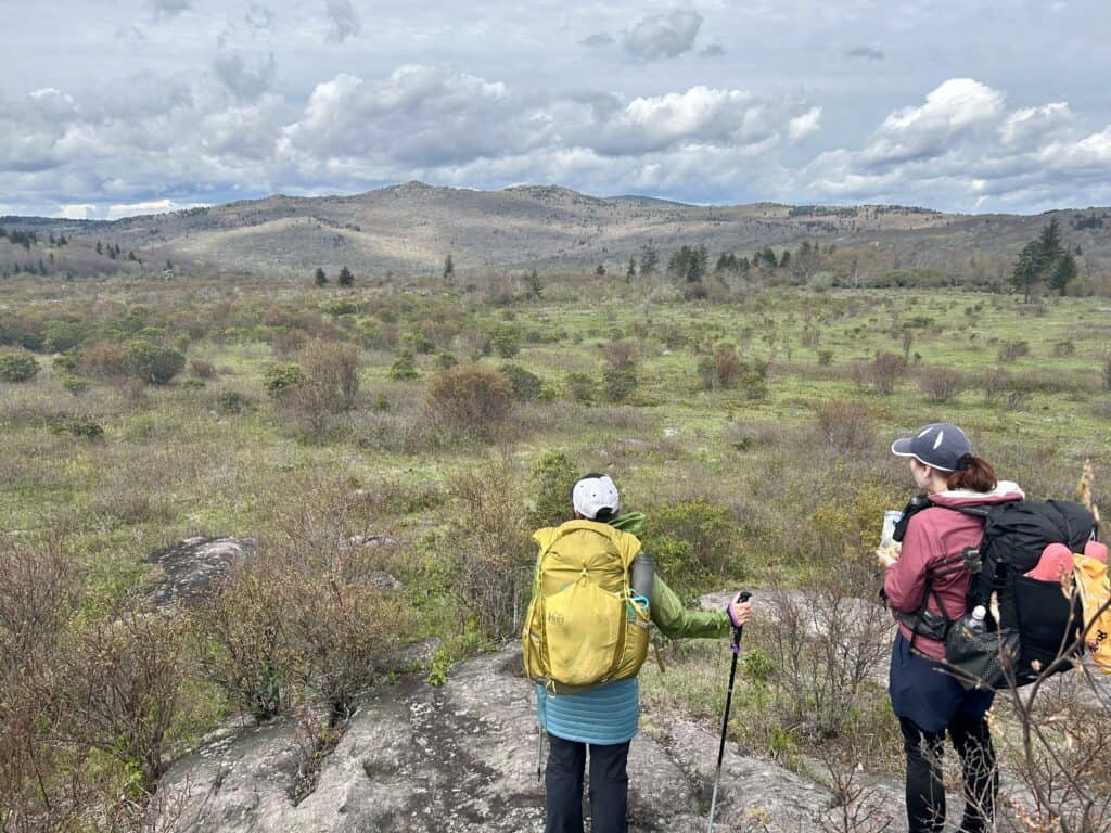 It’s time again for another round of the good ol’ Mt. Rogers Loop. As you can see from my posts that it is one of our favorite loops around. And for good reason, it’s amazing! With vast meadows, rocky outcrops, wild ponies, legendary Azaleas, good camps etc it never disappoints. This time we brought a friend. Turns out she doesn’t like the struggle of carrying your pack up and down mountains? Well, different strokes for different folks. Anyway start your trip at the TH and head up the trail across the highway you came in on. Very soon the trail starts heading uphill at a slow and reasonable pace. Soon you hit an intersection, stay on the Rogers Trail as it winds its way to the A.T. Jump in the Appalachian Trail as it continues its accent higher into the open meadows of Grayson Highlands. When you get to a fence on the left and a horse trail disappearing into a lush meadow, you are getting into the good stuff! Follow the A.T as it hangs a sharp left and slowly gets onto the ridge top proper past the Mt. Rogers TR that leads to the summit. Keep right and continue on to Thomas Knob Shelter. If you are really beat, follow the water trail to the left of the Shelter and stock up before heading to your camp past the bear box. My favorite spot is shortly after the Box when the trail cuts left to the top of the ridge. This open spot has just the right amount of cover is the weather is nice. If it’s to nasty for you, head on down a bit to a couple of pocket meadows and spots on the other side of this windy ridge.
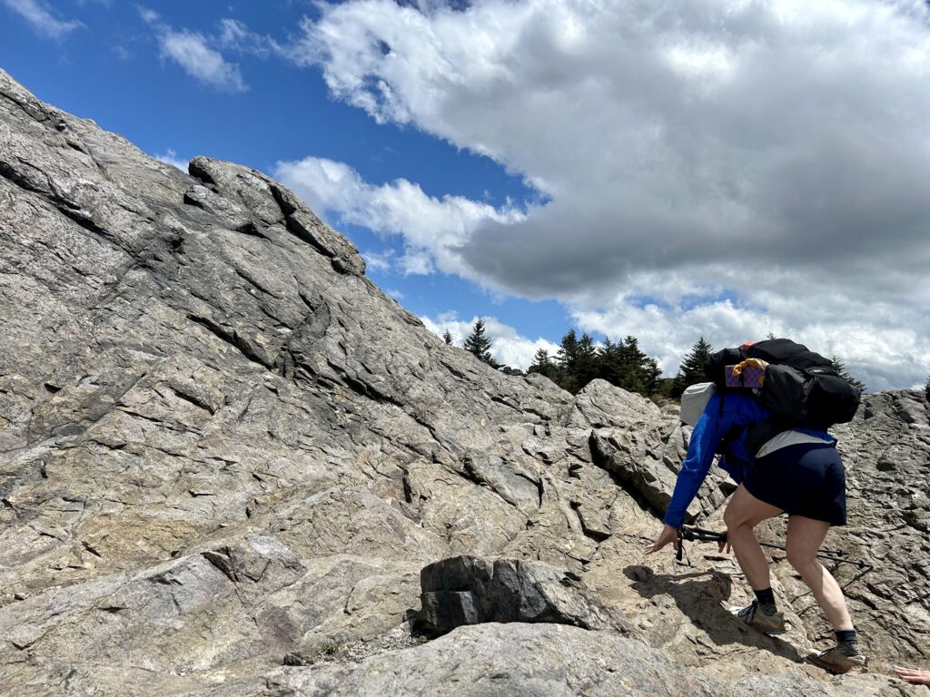
Climbing to the A.T as the Witch Hazel blooms

Crappy weather on the Appalachian Trail by Thomas Knob
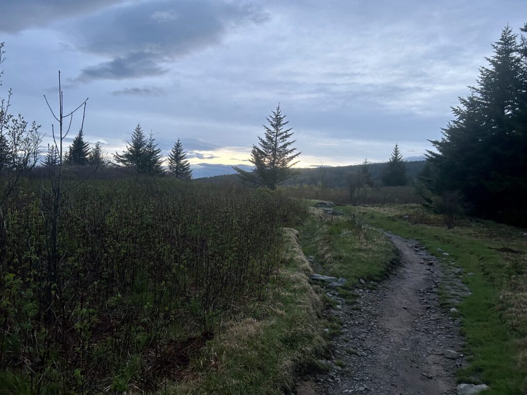
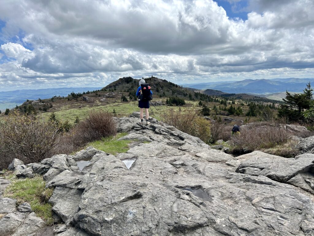
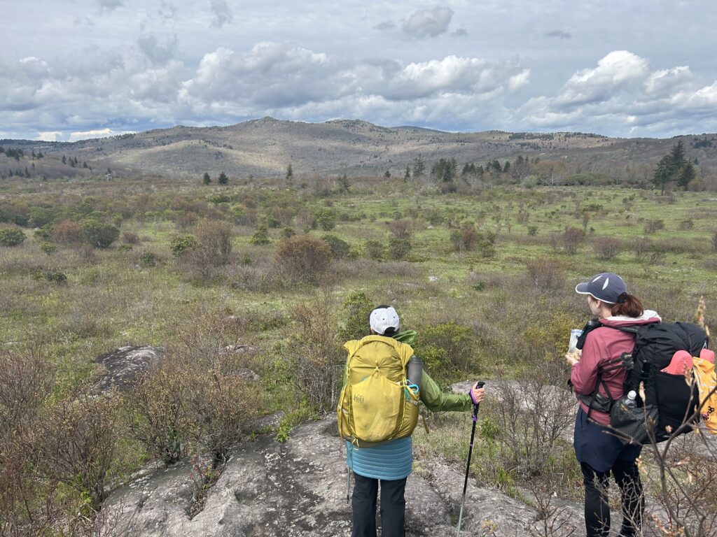
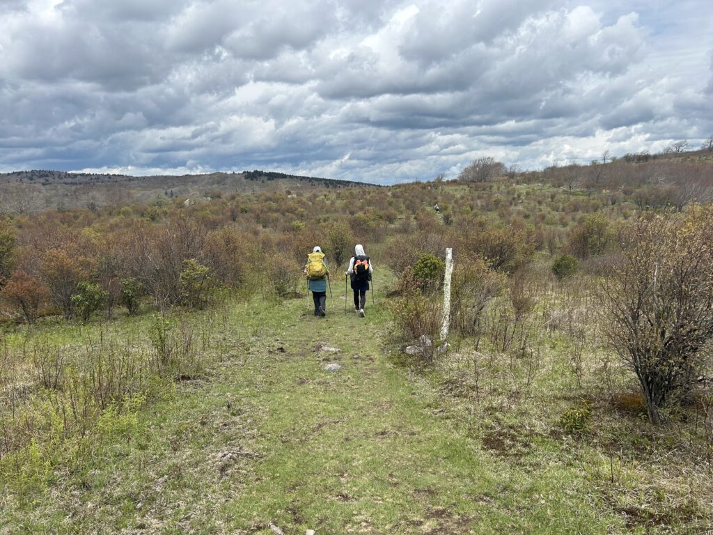
After a good sunset and a restful night sleep get up and enjoy a classic Southern breakfast of grits and tea. Take off down the A.T as it traverses flat ridge top before dropping down to Rhododendron Gap. This is also a good option for a first night’s camp instead of Thomas Knob. Here, its ponysville and that adds to the night’s entertainment. I would pick a spot in the first meadows right after the Forest Service Sign that welcomes you to this special place. If you go further along you will come to a sign in a bigger opening with a water sign to the right. If it seems mellow here find a camp in this area where ponies can be seen around or in the further down meadows. Regardless of your camping situation you will notice an open ridge to your right with rocky outcrops, this is your route and a lot of time you can scope out future pony encounters coming your way. When you get over there you will notice from this vantage point that this is just one of a series of grassy plateaus that trickle down to Massie Gap. Each one has big boulders and small cliffs that divide them that you have to skirt, squeeze through or climb and drop down in. It’s really fun to see what’s up ahead when you get rolling. When you get your fill, Massie Gap will be around the corner most likely. Stay on A.T as it tries to avoid the tourists and the more domesticated pony population in the area. Soon the Trail will drop down to a creek and cross a bridge before making a hard right leading to Wise Shelter. If your beat or you want to more equally divide up the total miles of the trip, this is a good spot to camp. Cross the bridge beyond the shelter and climb the hill straight ahead to a meadow with bigger trees and find a spot that is close to the privy and bear box. If you don’t need these amenities, keep going over to another bridge into a more private area that can feature ponies as well. Enjoy this great spot creekside as the sun fades and the eyes grow tired. Have a good night sleep as the wind rocks your hammock to the sound of some good music. Really how does life get better than this?
Good friends, good times
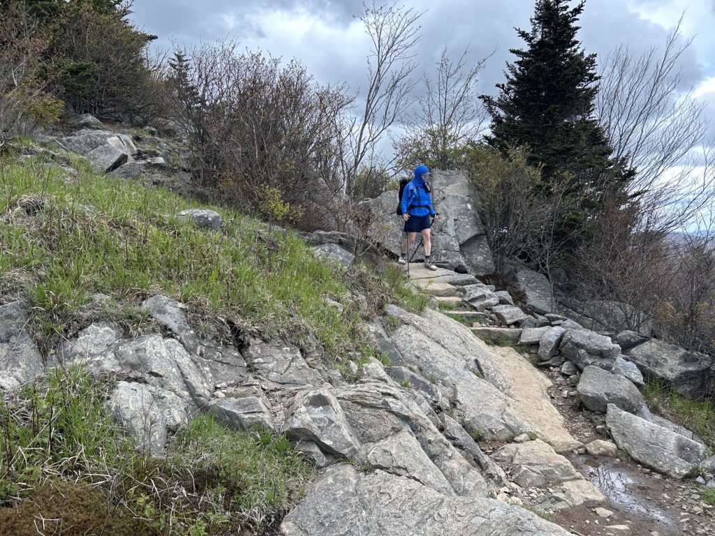
Looking down the steps
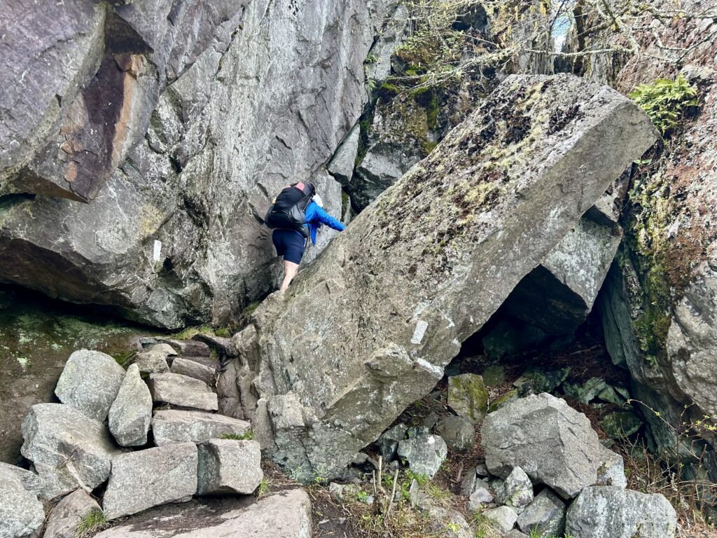
Fat Man Squeeze
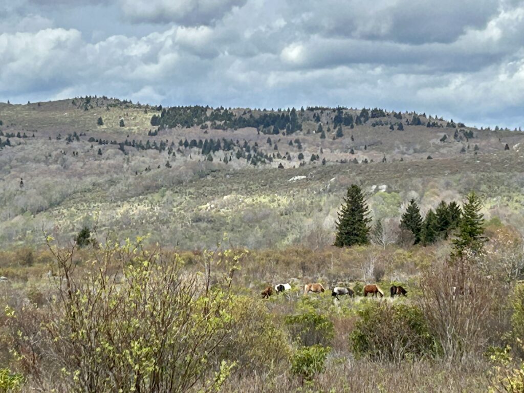
Pony time
Down by Massie
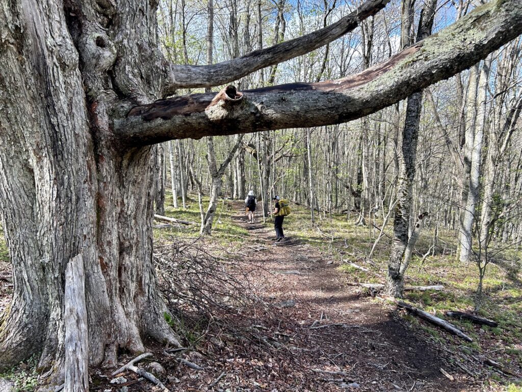
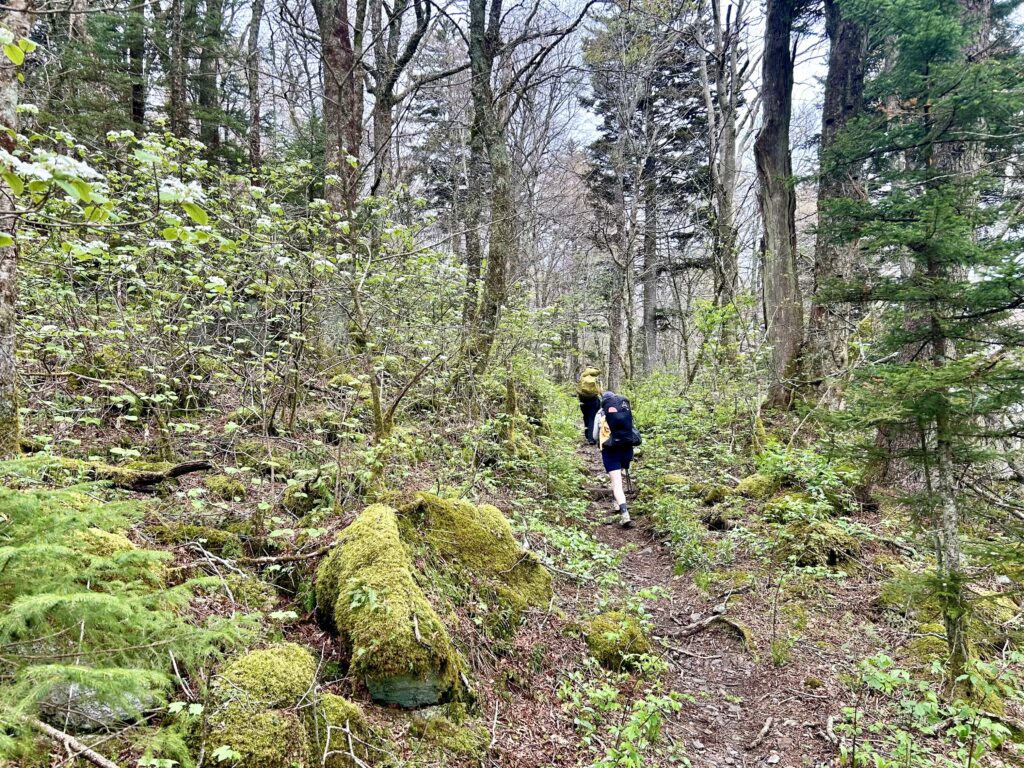
Get up and get into your hiking rhythm on. After these remote meadows, the trail makes a hard left and begins its slow climb up to Stone Mountain. Along the way you can find nice camps of this sometimes dry creek over your right shoulder. When you see some light coming from the rounded hillside ahead you will be near the top of Stone. Go through the pony gate and enjoy this meadowy mountain top as it unfolds. Soon you realize that it is a lot bigger up here than you originally imagined it was. With pocket meadows, boulders and potential real wilderness wild ponies around this area gets more exciting the further you enter. A slow downhill grade signifies you’re heading down to Scales. It’s a great car camping spot that supposedly has a rough road that takes you to a spot that in my opinion, should only be available to hiking enthusiasts. Climb out of Scales and begin a slow slog up to a final pony meadow that is quite nice. After that you begin your cruise down to Cherokee Orchard Shelter. These open forests along the way always have a nice blend of wildflowers in the warmer seasons. Good camping is past the Shelter on the left in your own private meadow. Next you drop back to the Fairwood Valley Road where you parked on. Cross the road and take the first left onto the unmarked trail there. The next couple of miles are in a horse trail as it stays near the road and then darts back the woods as it climbs and rides it’s way back to your rig. Change your clothes back into a civilian outfit as you plan your assault on the salsa bar at the good Mexican Restaurant near Abington. Fresh Mex or something, keep your eye’s peeled for the exit. Enjoy the bliss of the trip as you ride home listening to classic rock.
Stone Mountain Ponies
Nice!
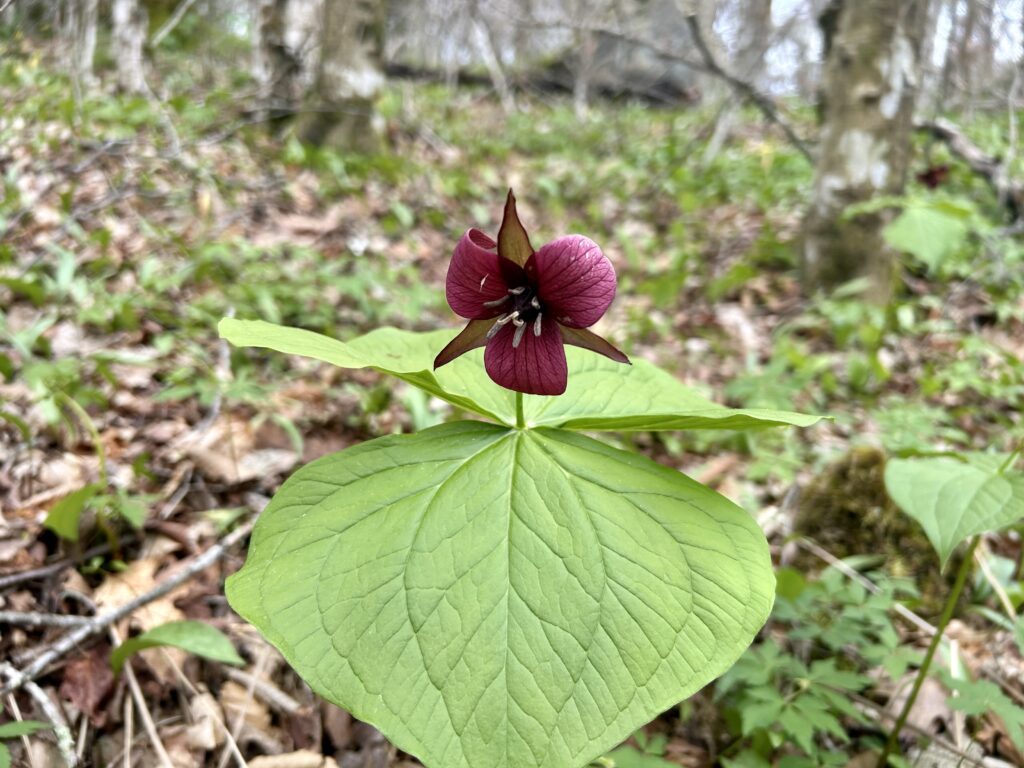
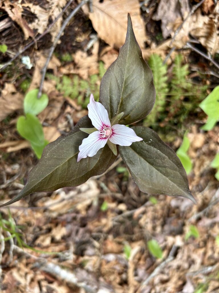
My favorite, the Painted Trillium
Near Cherokee Orchard
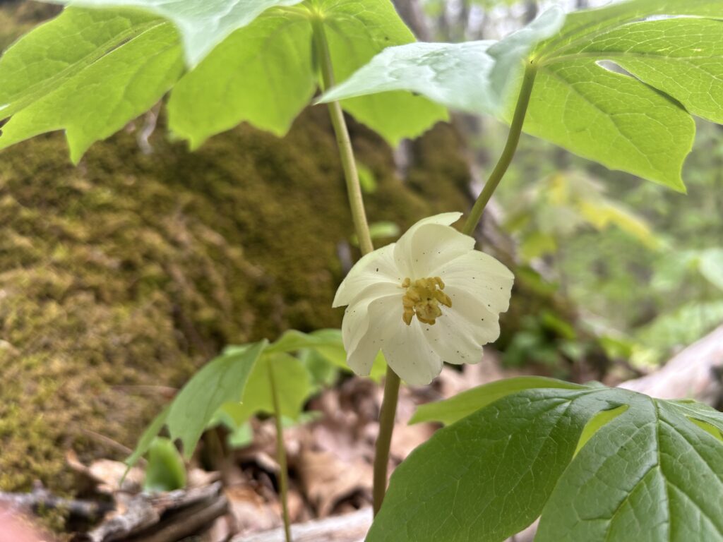
Mayapple