Weekend Gem: Three Peak and Grayson Highlands Loop
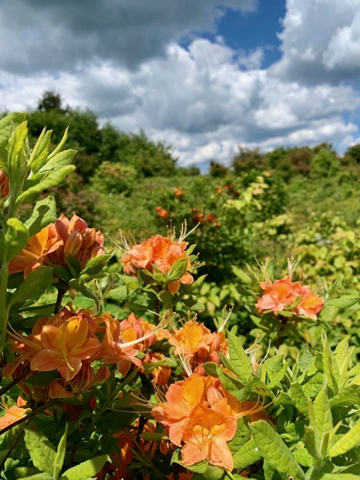
Third Peak
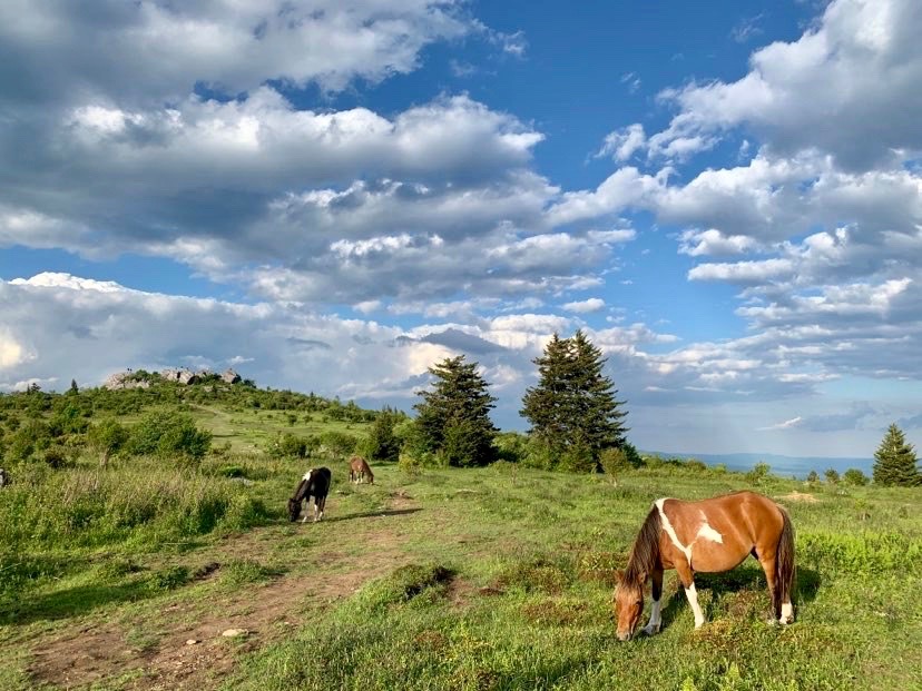
Some places I have traveled over the years have a special place in my heart while others are simply magical beyond expression. The Grayson Highlands in Virginia is one of those magical places. Traversing arching slopes of greens, browns and bright flashes of pinks, orange, reds in sunny meadows while looking for wild ponies, that’s the Highlands! This 37 mile route takes it all in as it tours the best that this area offers, from high ridges with open balds, scenic waterways, and open meadows with almost manicured looking clusters of flowing shrubs and windblown pines. Start out at the TH and hike along this bubbling brook complete with a nice camp before making a left onto Iron Mtn. TR. and begin a nicely graded, but horse potholed climb up to an apex before dropping down to a left onto the Virginia Highlands TR. Take this trail as it meanders down and front country camp Fox Creek, cross the road and continue on as the meadowlands begin. This part of the Highlands Trail drops down to Opossum Creek and a nice camp at a roads end where the trail leads left up it. If you are short of time or tired, camp here as the rest of the camps for the next 5+ miles are dry with random climbs up peaks.
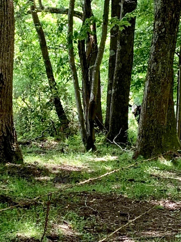
Can you find the cow?
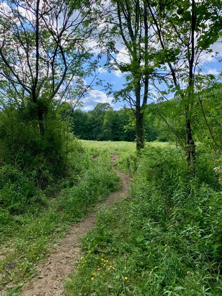
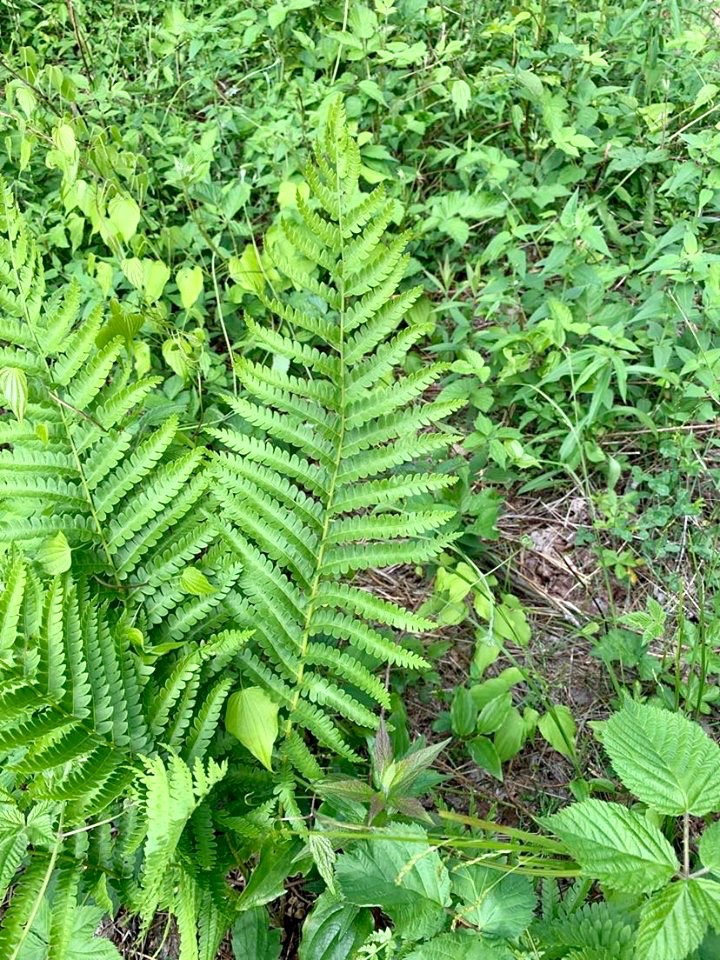
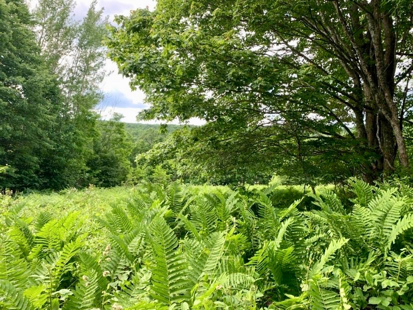
Lots of cool textures
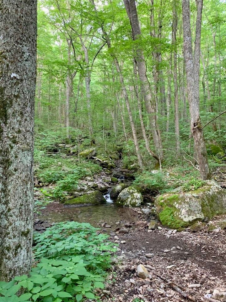
Camp by a nice cascade
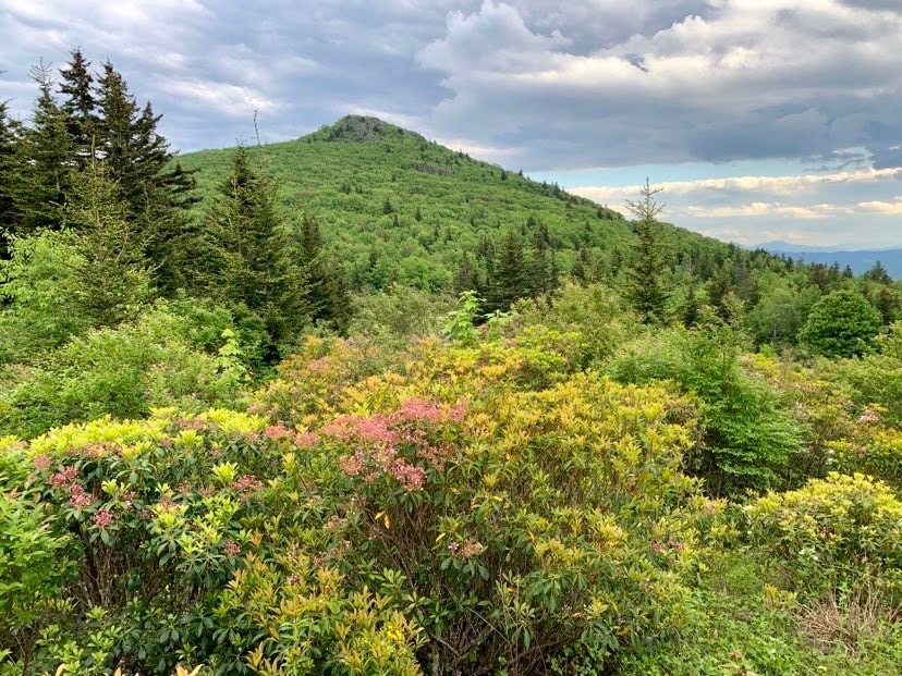
Start out the next morning backtracking up the road, past the VA Highlands and Switchback TRS. to a left onto the Third Peak TR. and begin your climb in nice, open forest. The way gets more rocky and open the more you climb, finally arrivng at a cattle gate into the Third Peak area. Now the true brilliance of this area revels itself as you enter this fabulous bald into a world of bright Flame Azaleas, Mountain Laurels and Catawba Rhododendrons. Continue left on this ridge line past Second Peak and finally First, making your way to the Kabel TR. to make that right heading down to Little Wilson Creek and lovely camps in the meadow pockets along her sandy banks. Cruise on down to a creek crossing (could be high in times of harsh thunderstorms) and into the Grayson Highlands State Park. Now this is when the 2017 National Geographic’s Map (Mt. Rogers High Country) gets weird. Come to a rigged intersection with homemade looking signs and silly blaze colors that don’t corespond with anything on the map! Blaze past this intersection to another with other trail markings, but a clear sign to the Hickory Ridge Campground, head right in that direction. When you come to a questionable storm shelter, take the trail in the center heading uphill to the Campground. When you see the road, look for the horse trail heading right to iconic Massie Gap and ponies!!! Hit the edge of the parking area and head on in the now clearly marked, Rhododendron Trail. This is where the magic begins! Look right, look left into the pocket meadows for ponies, there are 100 of them here in this nook of the world. View open up west and south from here to here more Appalachian peaks while trails up to Haw Orchard Mountain look intriguing in the immediate vicinity. Very shortly arrive at the A.T. where you make that right heading north. Camp by Quebec Branch or head on for another easy mile to the Wise Shelter where bomber camps can be found past the shelter on the other side of the stream in wonderful, open meadows.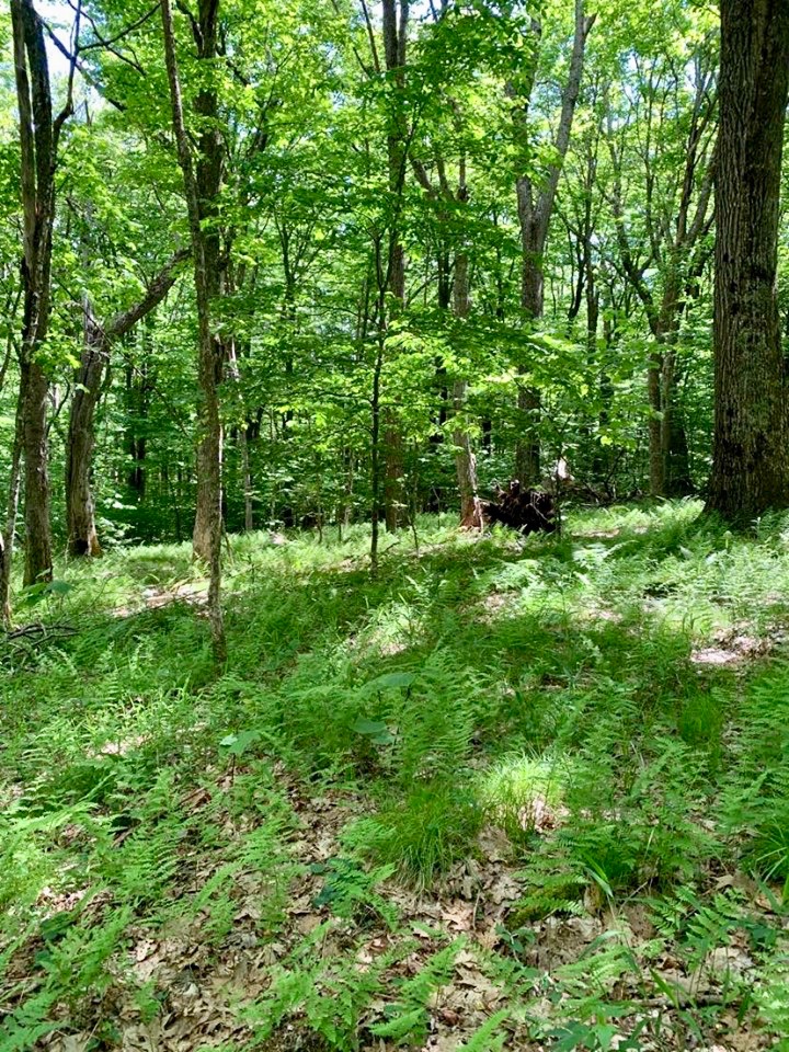
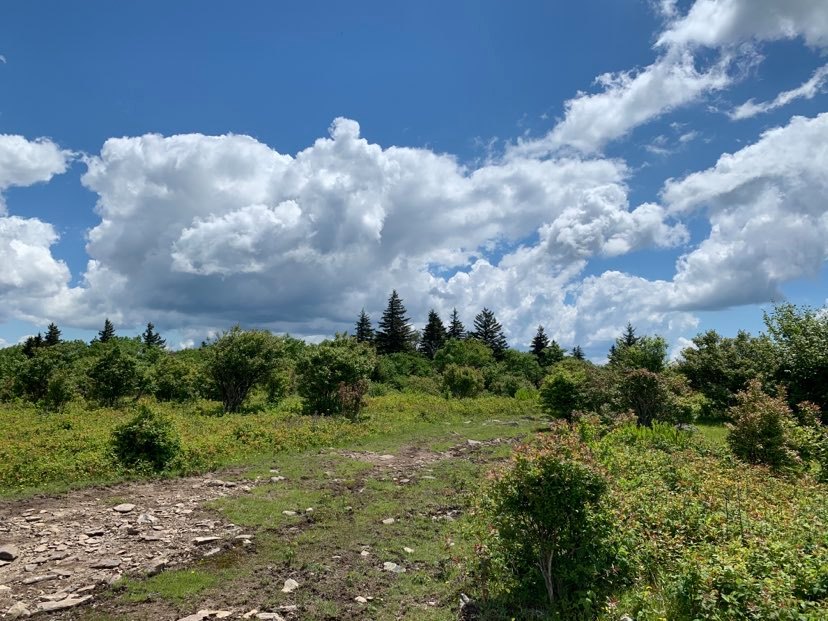
Third Peak
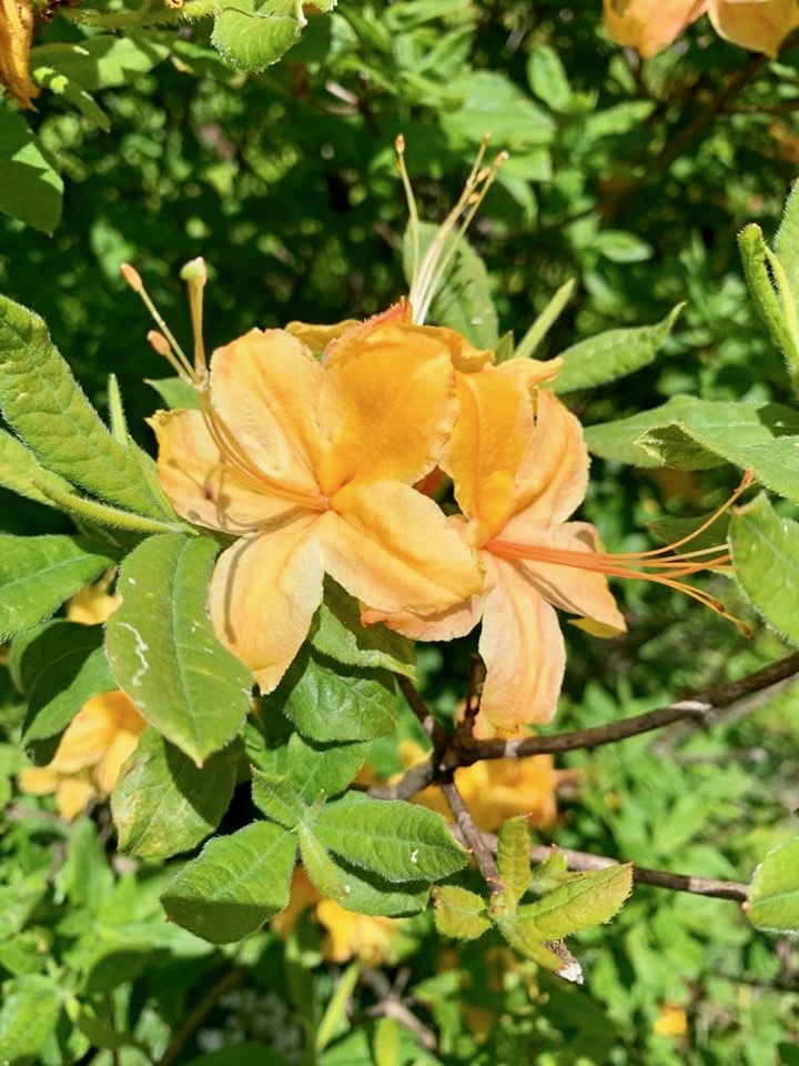
Azaleas

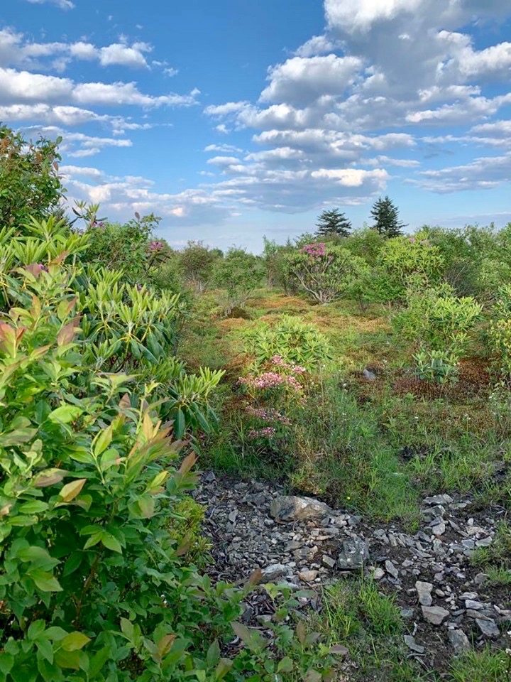
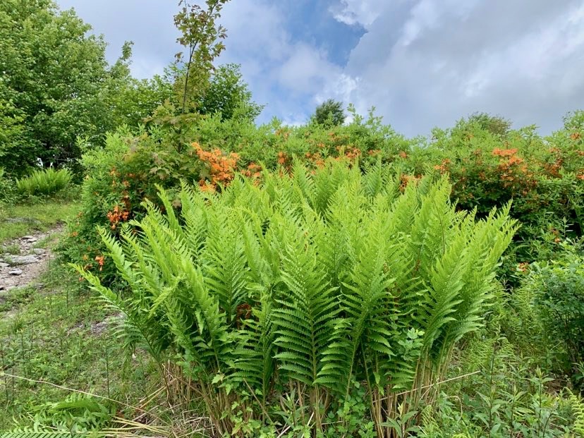
Second Peak area
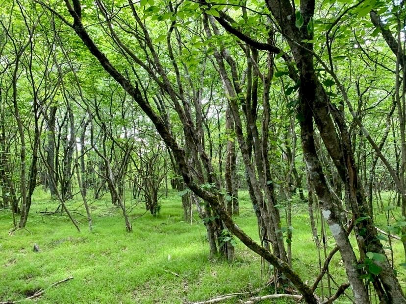
Dropping down from First Peak
Massie Gap
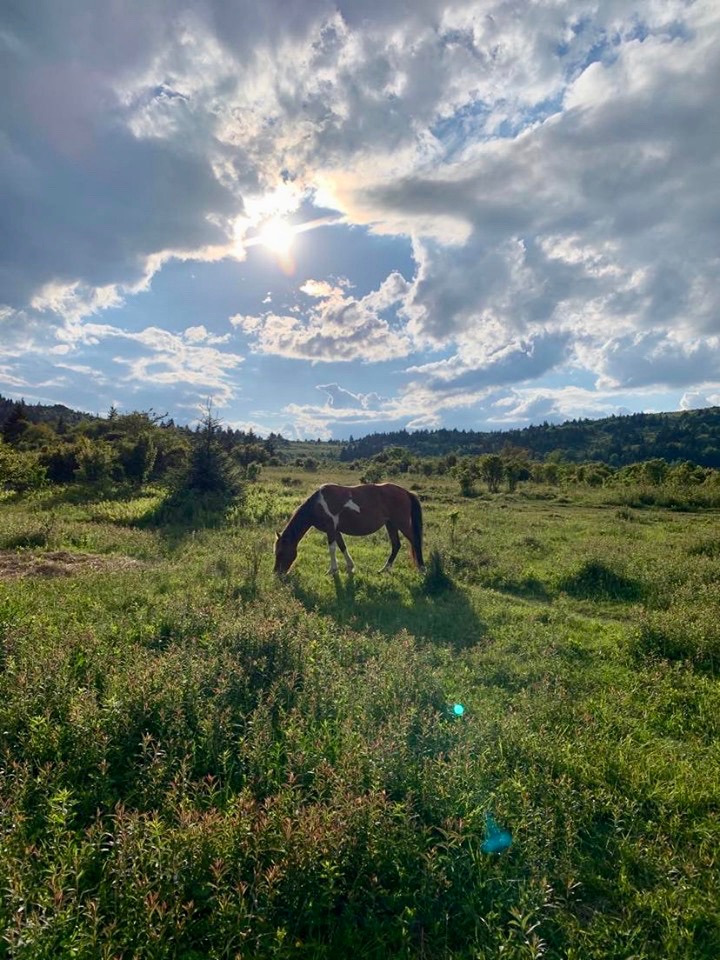
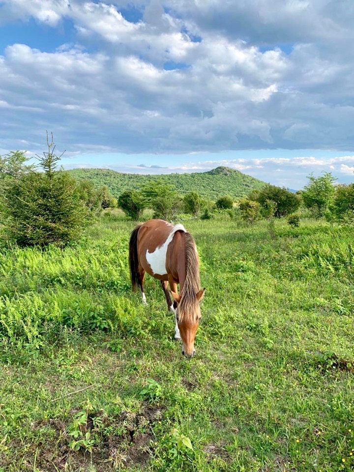
Pony time!
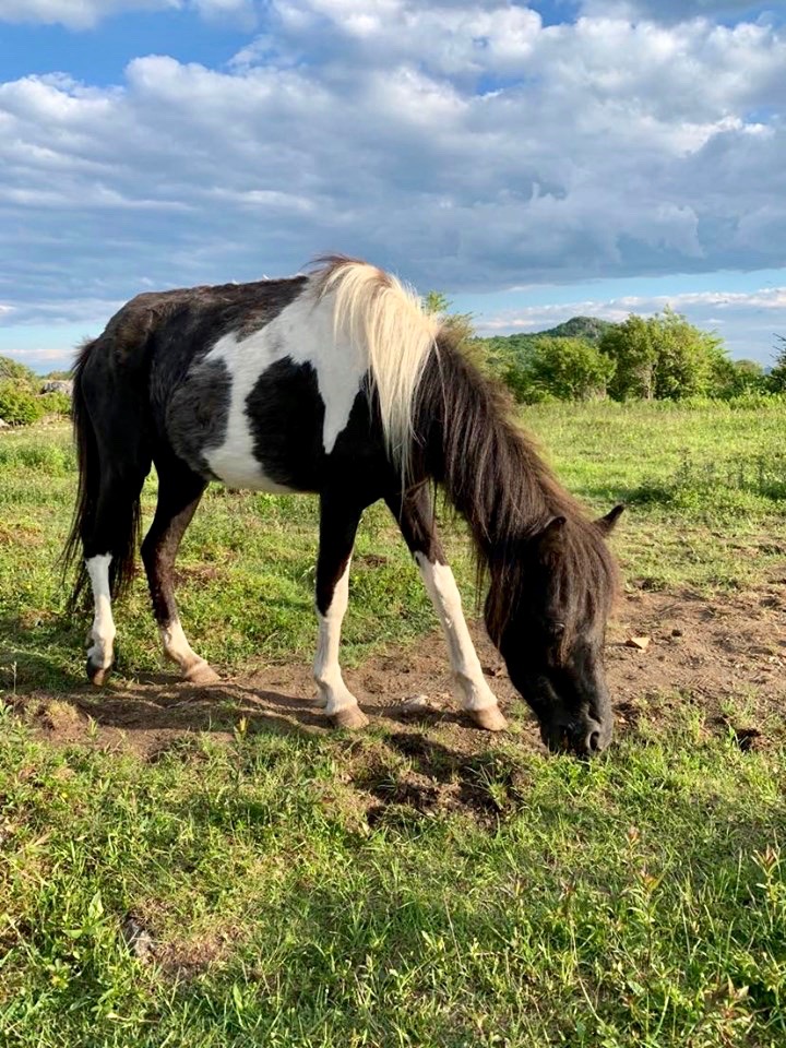
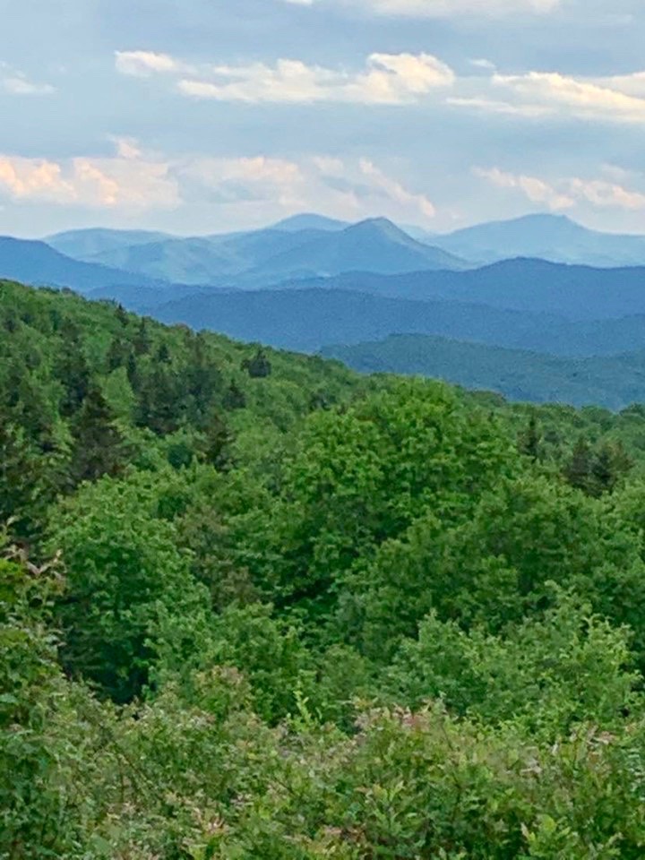
The view west
Get up and get some coffee going. Next, cruise into more meadows with your occasion pony clusters scattered here and there. The Pine Mountain area near the Scales (you can camp here!) is a hotbed for these delightful critters. It’s good to note that the further in from Massie that you go, the more the ponies act like “normal” animals, keeping to themselves while they graze at a safe distance. If you go through a cattle fence, it’s a good chance that it’s pony time! Climb up a short distance to an intersection with the Crest TR. before dropping down to Old Orchard Shelter. The route continues to drop down to Fox Creek and a road, cross it and begin a nicely graded section up to Hurricane Shelter tucked away in a delightful fold in the mountain. Find a sweet camp by the creek and enjoy as pleasent evening as the sun sets.
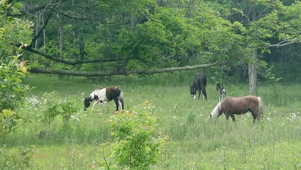
Ponies by Wise Shelter
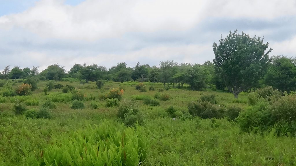
Pine Mtn. area
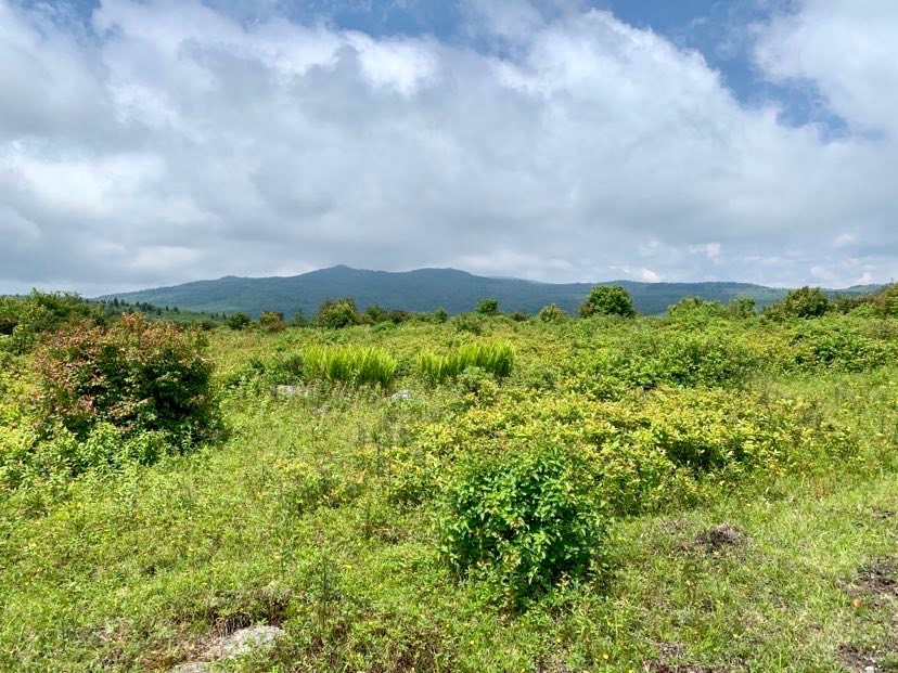
Near Scales, where them ponies at?
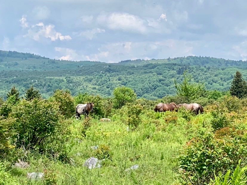
Bingo!
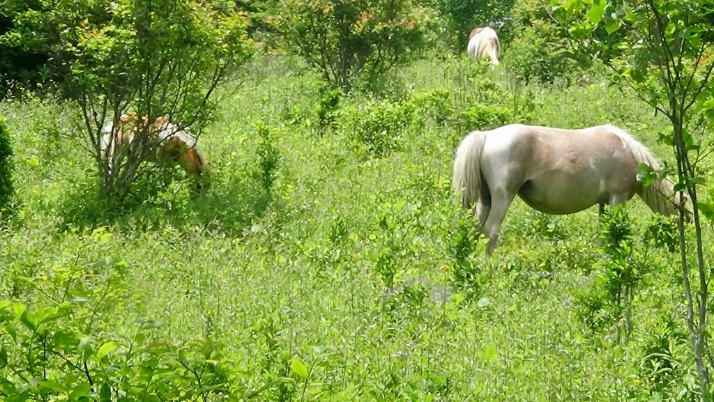
Last cluster on the way out of Scales
It’s all downhill from here. After enjoying a lovely morning in this iconic spot, start your decent back to your rig. Enjoy the nice open forests as you pass several small hollers on your right. When you see the road for Hurricane Campground down there, you know you’re getting closer to society (yea?) When you come to the Dickey Gap TR. you will see a bogus sign telling you that the A.T. ahead is closed. First off, you will be making a right on Comers Creek before the bridge and walking a short distance back to your car. Second, the bridge looks fine enough to cross one at a time even though they say it’s safety has been “compromised”. You could also ford this one if you needed too, but might be dangerous after periods of high rain due to the steepness of terrain. Make that right and enjoy the lovely Comers Creek as it cascades down from a shelf in a most eloquent way. Take the last few steps back to your car and pop open that reward beer. This road is mellow and there is very little chance that you will see anyone before hopping in and going home. If you are coming from TN, stop at the pizza place on the right before the highway, it was really good. Have a submarine sandwich while you discuss the next time you will be visiting this awesome country again!
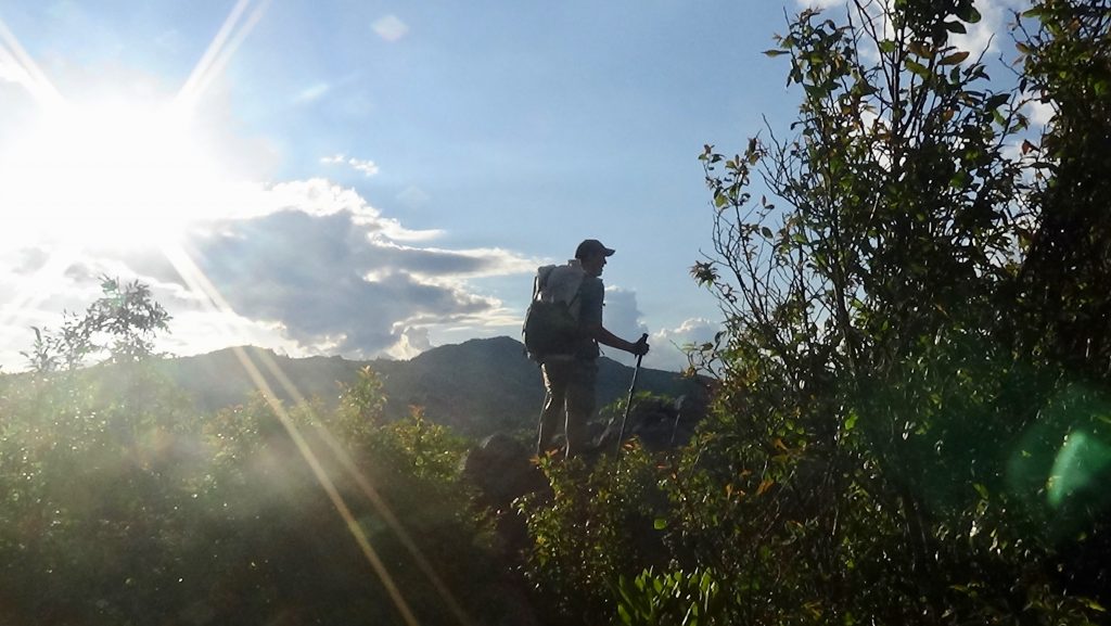
Later!
