Weekend Gem-KY’s Sheltowee Loop
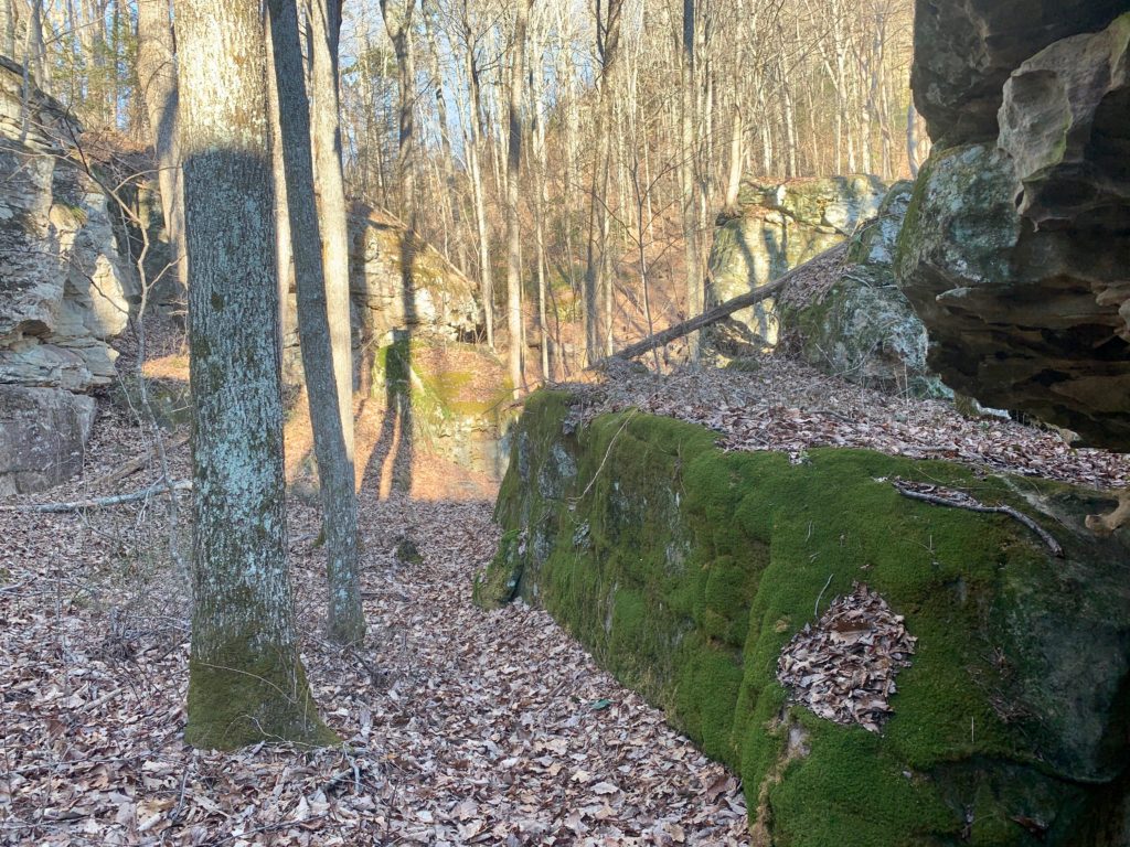
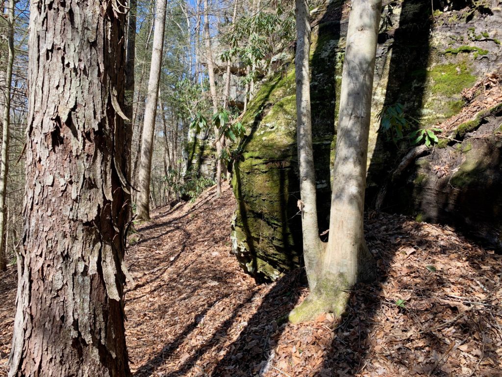
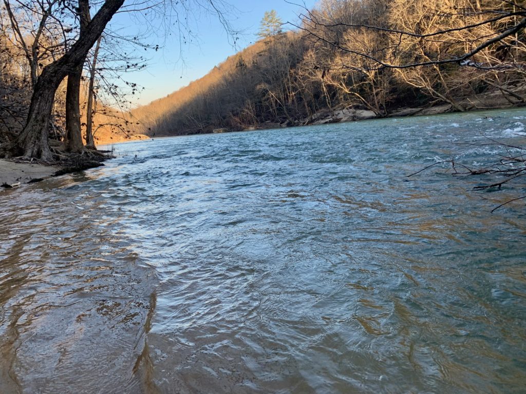
 Every trip in Big South Fork that I have done has been amazing, plain and simple. It is a wilderness of hidden beauty for the observant hiker. A window in a rock house, an arch hidden on top of a ridge, patterns in a sandy creek that mimic the design of the rock all around you. A place of sand and water, ocean and wind, quiet and unasuming the wilderness stretches out as rivers dig deep trenches. Speaking of rivers, don’t attempt this loop if there has been gnarly thunderstorms or hot temps and snow melt is happening, Rock Creek near HWY 1363 will be unfordable or just plain scary! Start out this 37 mile one at Blue Heron, walk over the footbridge over the River and take a right onto the Kentucky TR. Let it be known that the sign says “Sheltowee in 7.whatever miles” but in a hundred feet you will see the Shetowee Blaze? The whole trip will be on the Sheltowee past and present, high water or not, don’t get it twisted. Matter of fact, ditch the Nat Geo Map and get your paws on the OutrageGIS Map, they are way, way better! Follow above the River for a bit before ducking inland where it will stay for a while. Cross Lin Hollow Creek on a log jam to the right of the trail crossing. Now according to Nat Geo, the trail starts taking this Wilson Ridge RD. but it doesn’t. It almost jumps on the road by the remnants of an old school house, but ducks back into the woods to continue northward and just parelles it just out of sight. When you get to Rock Creek, roll up your pants and cross it. On the other side, follow the signs description Sheltowee High Water TR and take the Hwy 1363 and then Beech Grove RD (map says Devils Creek) on your left for a total of 2.5 miles. Once on Beech Grove, hike up a short bit and take TR #663 Koger Arch up past this marvelous arch and then hits the Sheltowee in 3/4 mile. Make a right and climb a bit more to a gate and a three way road split, stay straight and head downhill to road’s end and pick up the trail again. This time, the tread really climbs up off the old roadbed and onto a trail proper. Good views extend out across the wilderness, what a lovely sight. Soon you hit a dirt road where a quick right then left brings you down to Trace Branch and a camp for the night. A spot where it looks like an old turnout is waiting creekside before a crossing. Today was a lot of leg work, but now you are centered in a ideal spot deep in the core of the wilderness area. Have a sip of whisky as day fades into a starry night. There was at least 4 barred owls close by my camp that night doing their strange calls.
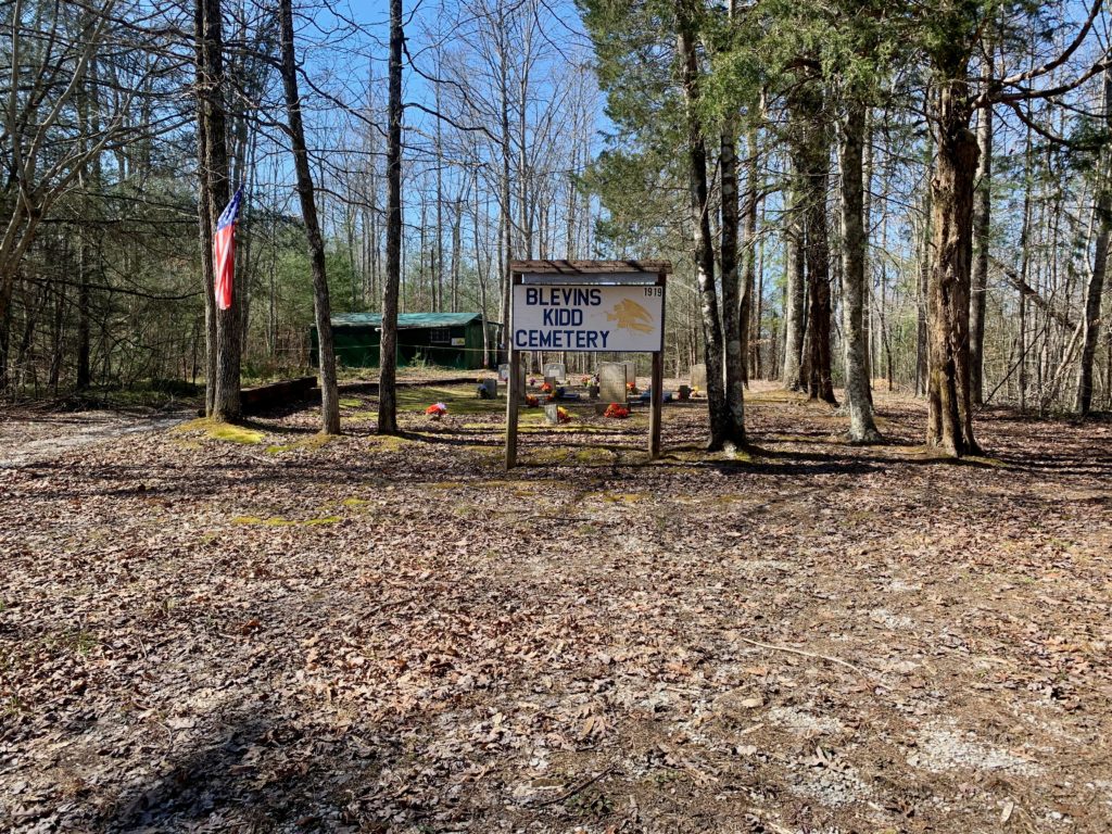
BSF!
A trickler
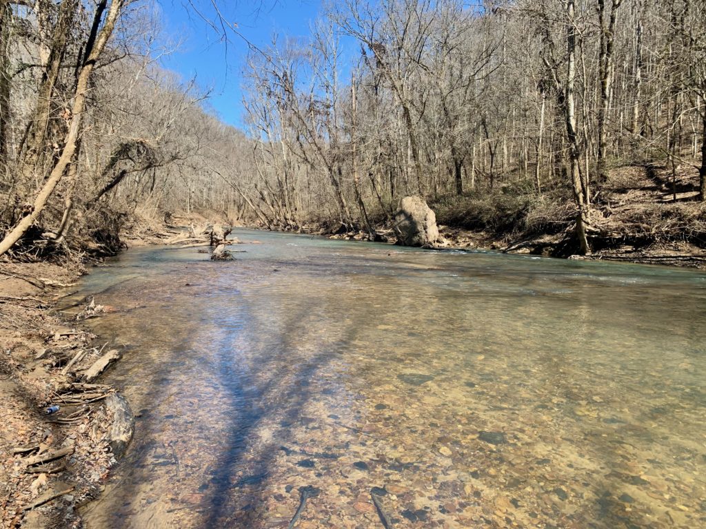
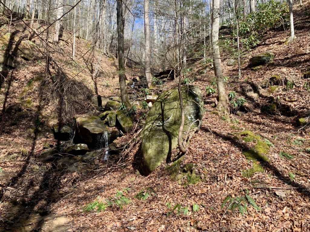
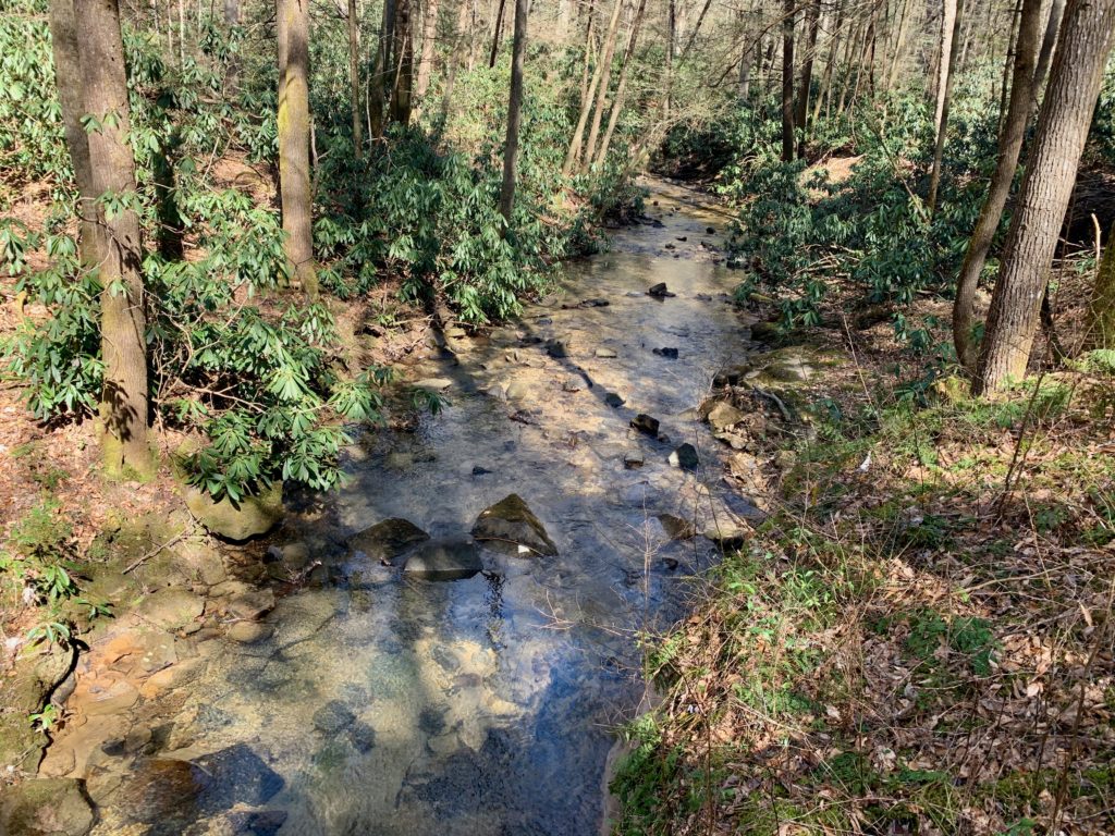
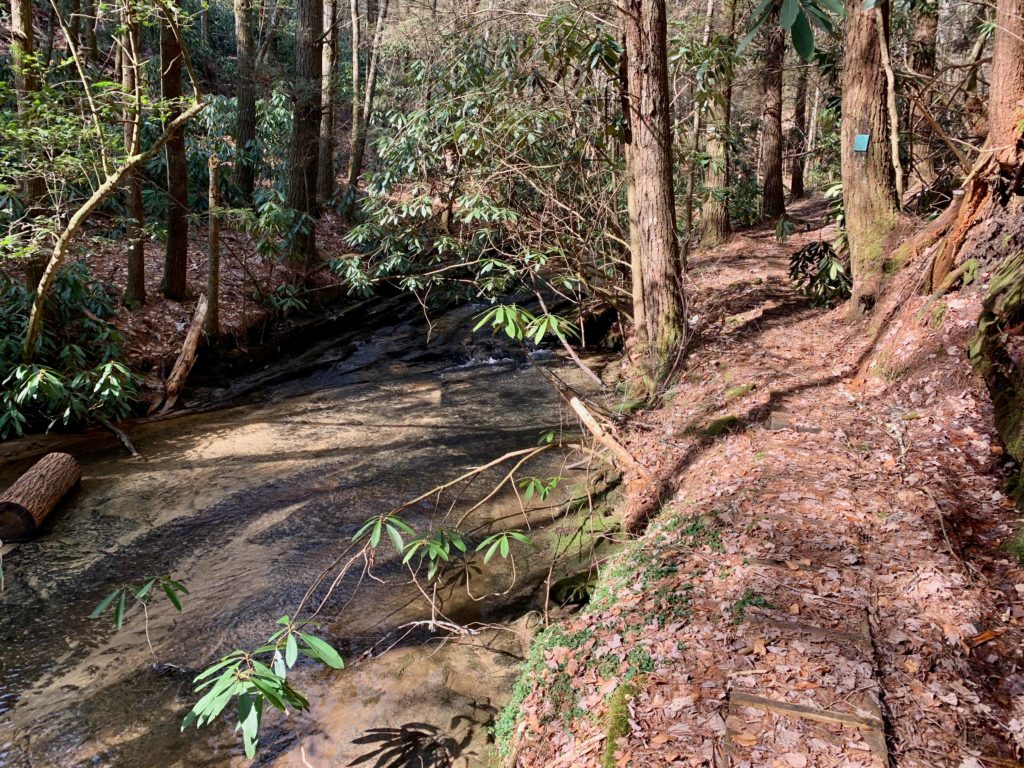
Rock Creek
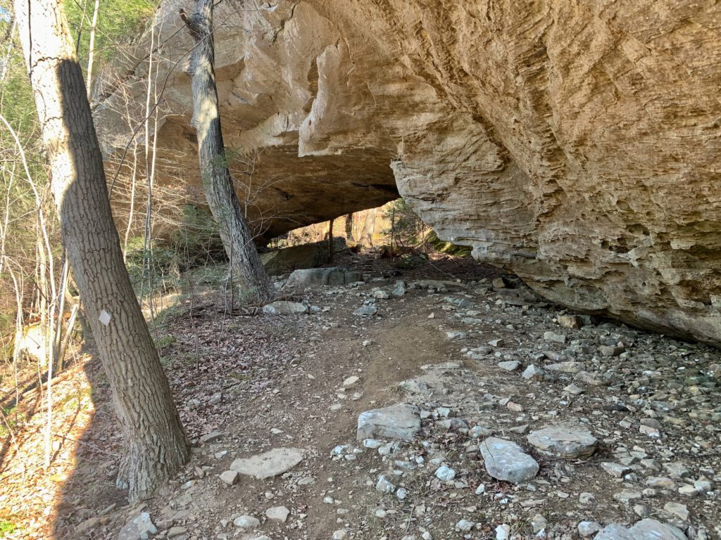
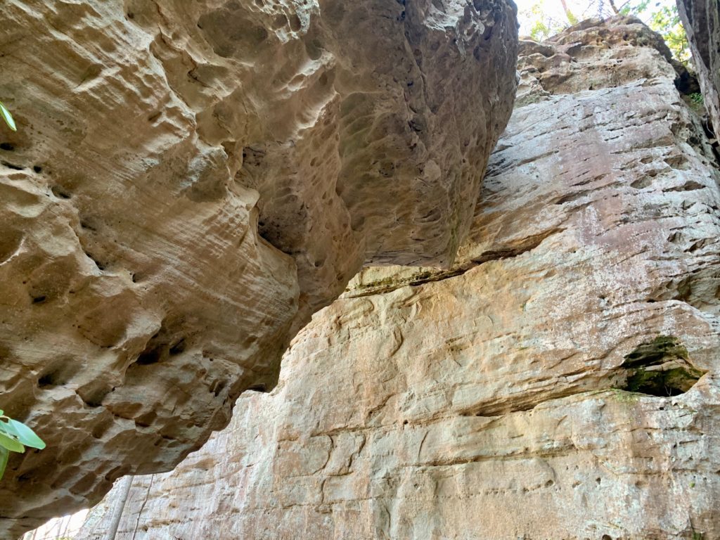
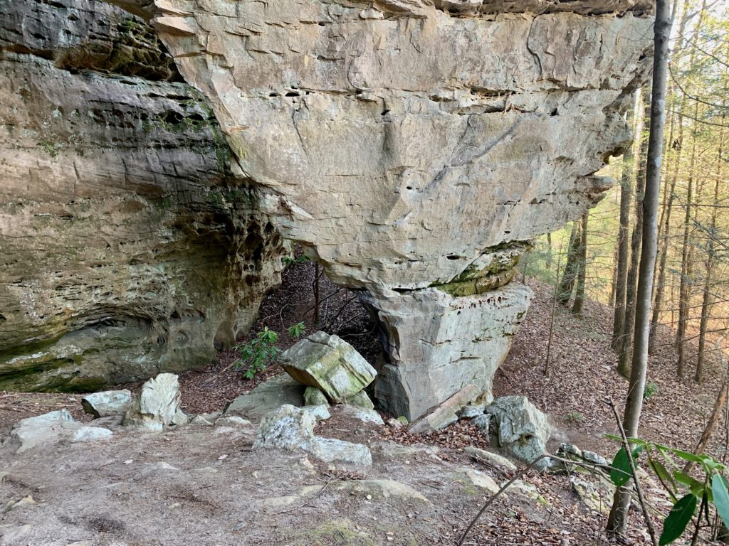
Chunky Koger Arch
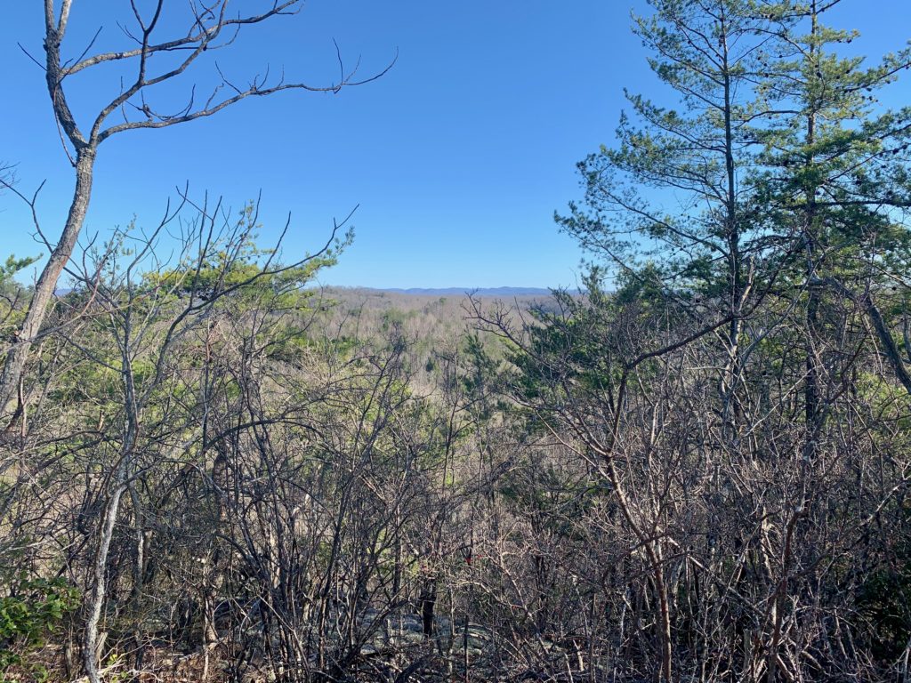
View to the East
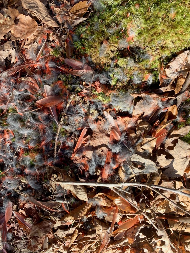
A female Cardinal had an accident, wonder what?
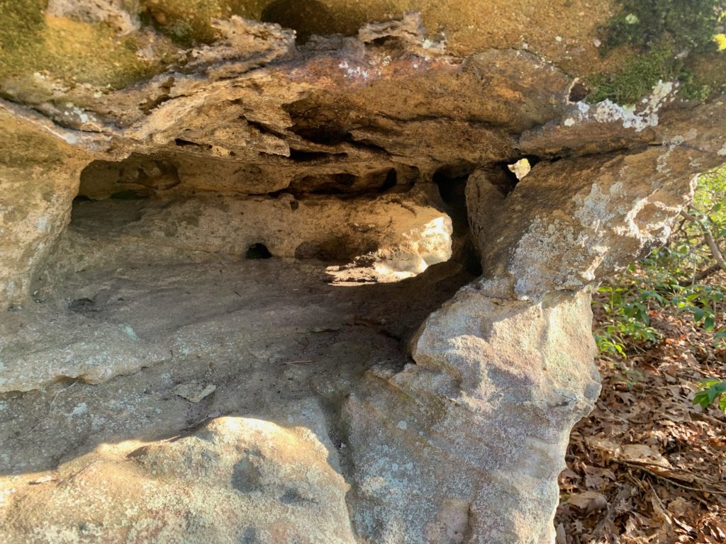
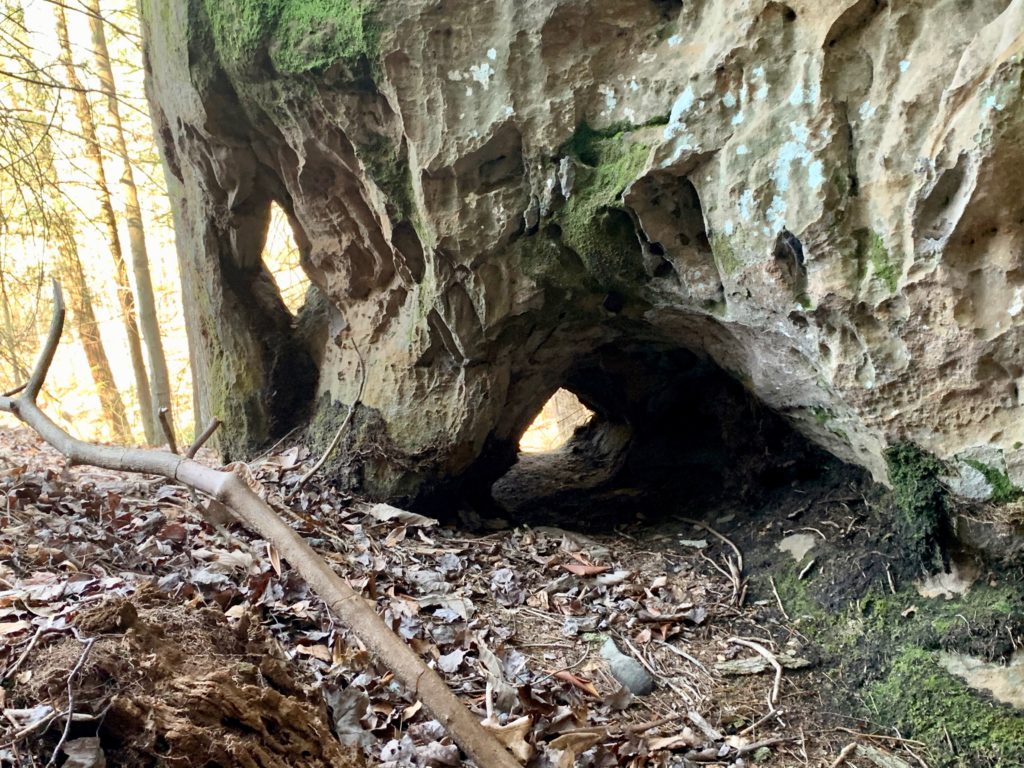
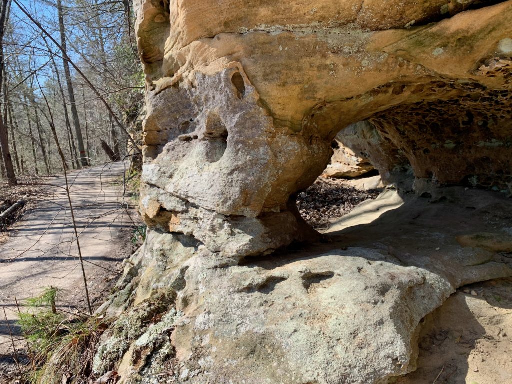
A cool window
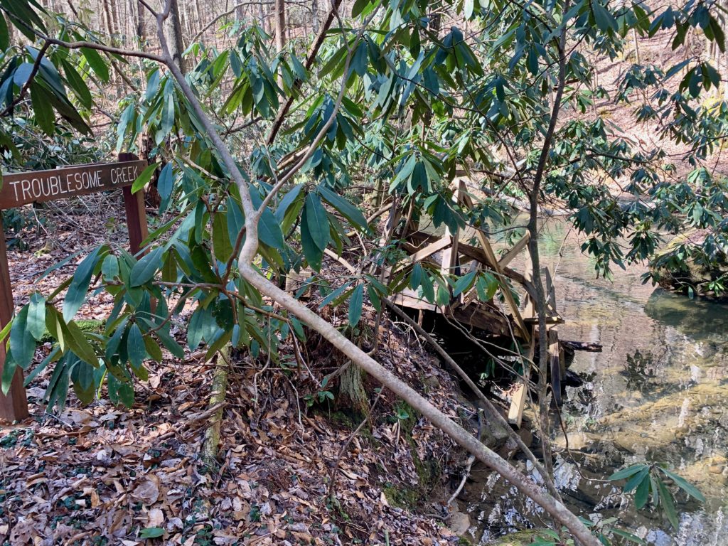
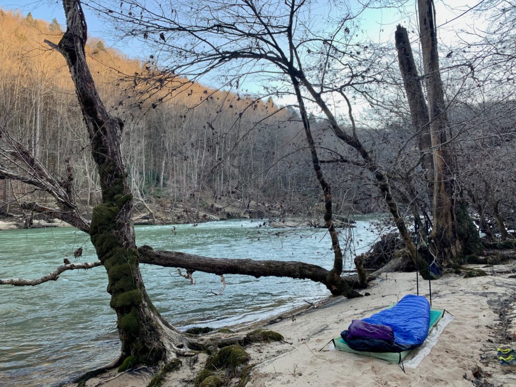
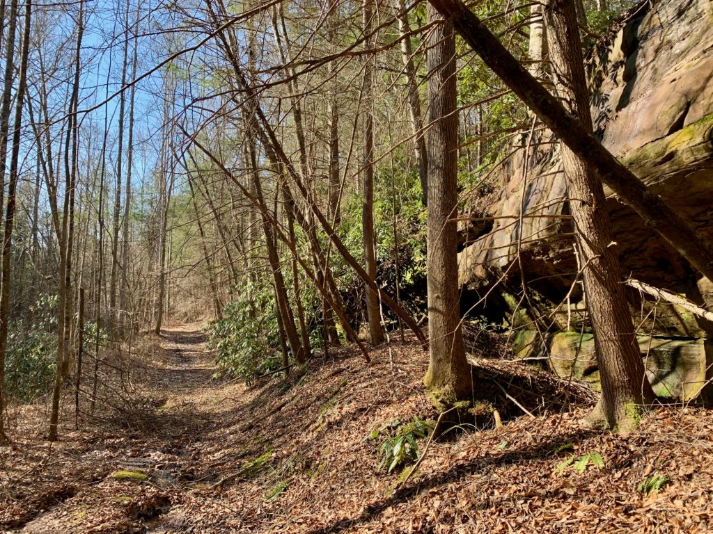
Ah yes, It is certainlly a nice morning huh. Get up and have some grits and a nice cup of coffee before moving onward. All the b.s. road walking and whatnot pays off now and now most of the rest of the trip is lovely wilderness bliss, well almost. The old road you are on changes into a gravel road by the Stepping Rock turn off to the left. But, on Laurel Ridge RD you will discover a grip of cool small column arches, windows, a big arch and a strange pond in a rock house. That being said, keep your eyes peeled to the left hand side as you walk. Look for obvious spots where folks have ducked off to see these geological wonders. First a window or two and then a big arch I called Slanted Eye Arch because of it’s unique “eyes” on the ornate base of it’s pillar. Just around the corner from that off a pull off is the pond. When the light is right, the droplets make trippy patterns on the cave ceiling, it really worth enjoying for a spell. In about 5 miles, reach the left turn on the mixed use trail that leads downhill to heading to Difficulty and Troublesome Creeks. In a couple miles, take a left onto the Kentucky TR (or Sheltowee) again. I heard that this part of the wilderness was at one point going to get special protection, like Pickett S.P. or Twin Arches, but got passed over. Anyhow, this section is rad and has some steep and erratic topography to enjoy along your way. Cross Difficulty Creek first and then wind on down to Troublesome Creek. The trail stays along the creek for a minute before crossing it and keeping it on the right of you before dumping out into Big South Fork. I noticed one camp, if your getting tired, above the creek here before it hit BSF. I went on down another couple of miles to Oil Well Branch to make it a last day of 10 miles so I could get home a bit earlier. Here along the River, it is very obvious that last year’s winter flood jacked up the shore. It appears from here that the River was at least three times larger than it appears to me now, kinda frightening huh? Reach Oil Well and find a camp at the bridged crossing or along the sandy floodplain of the River’s edge. Enjoy a much needed, but really cold bath in the BSF. Get out feeling icy but refreshed and set up camp as the River rooolllsss on.
Nice morning light
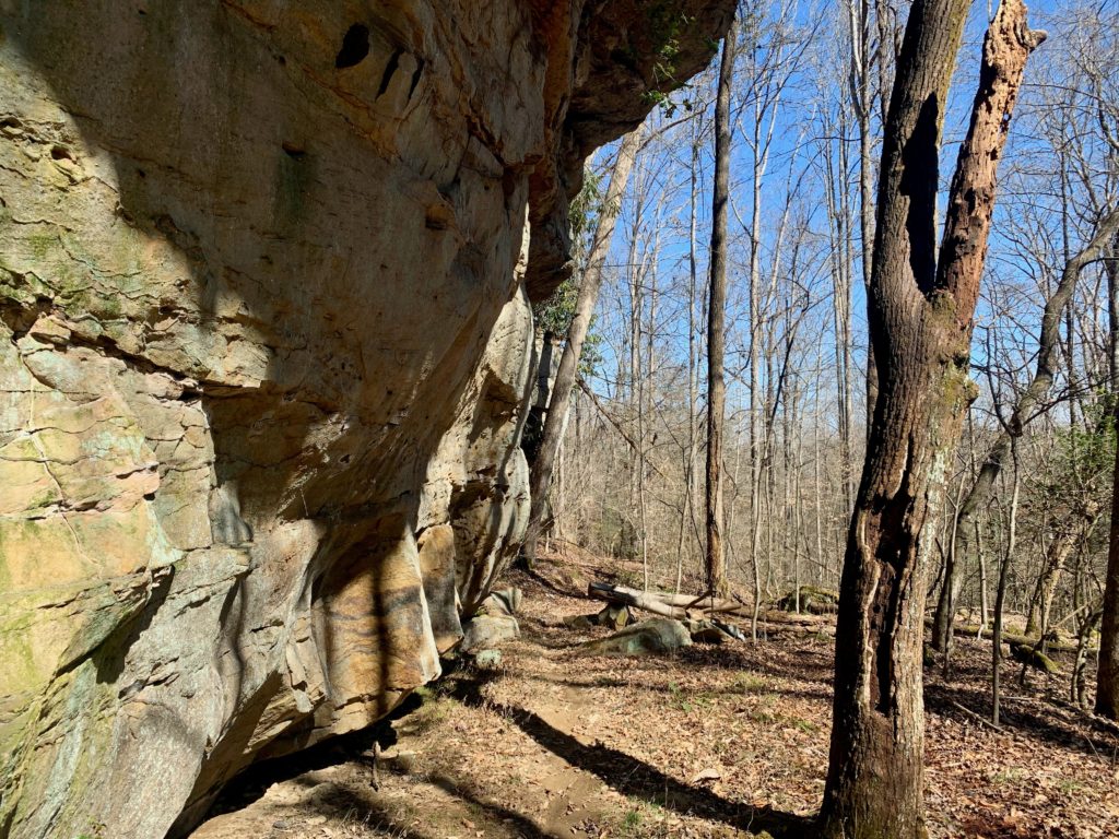
Before the road
First window
Claw Arch
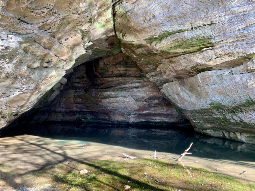
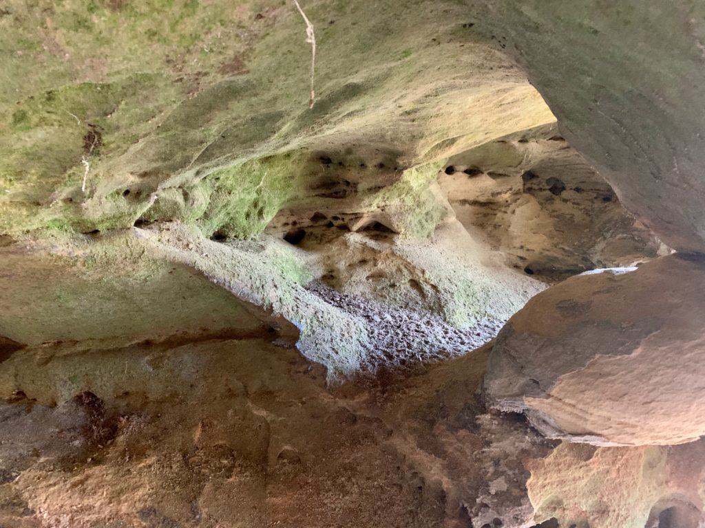
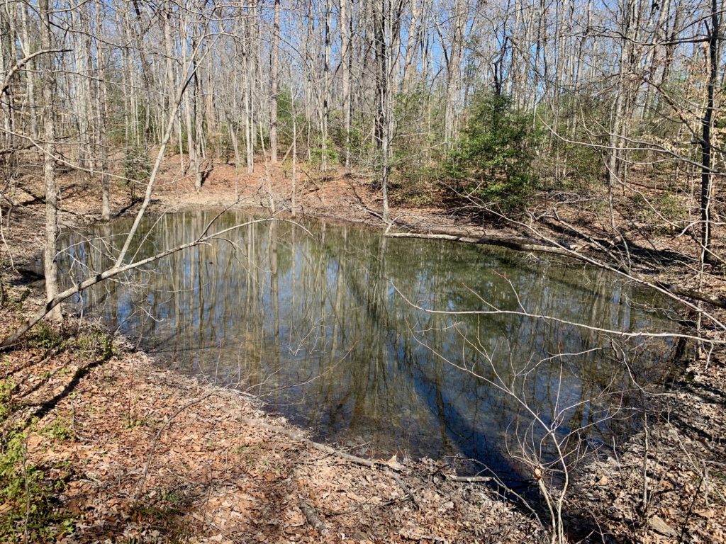
Golem’s Cave?
Awesome ripple reflections in Cave
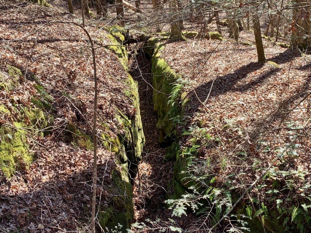
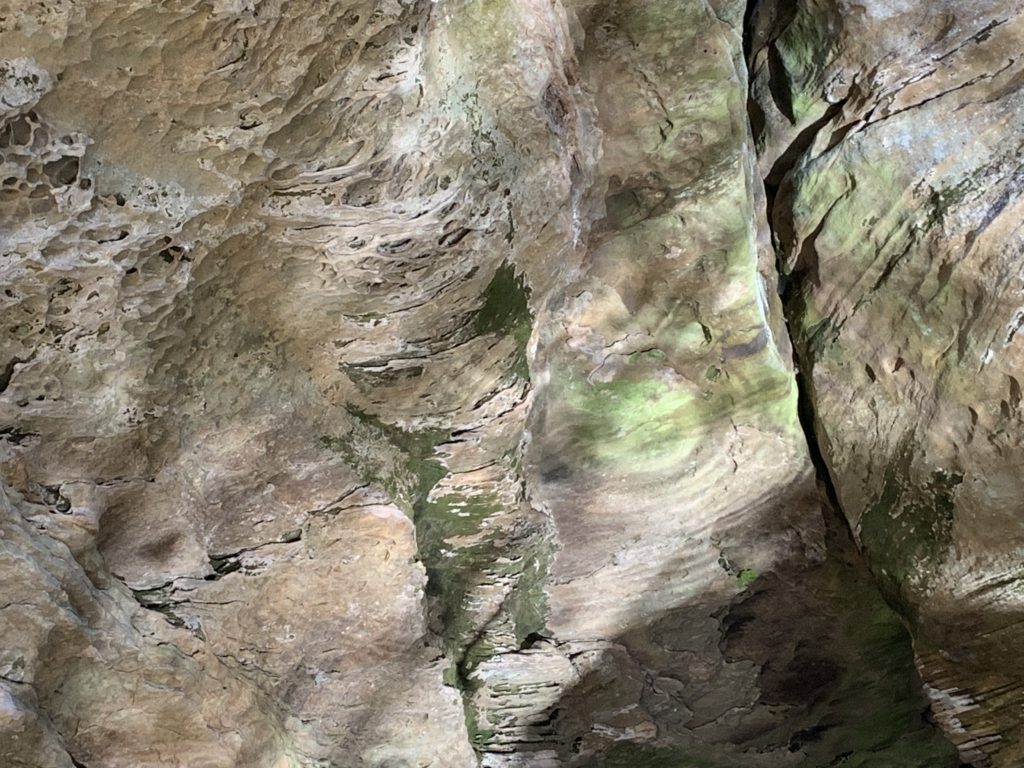
Interesting crack
Difficulty Creek
You think?
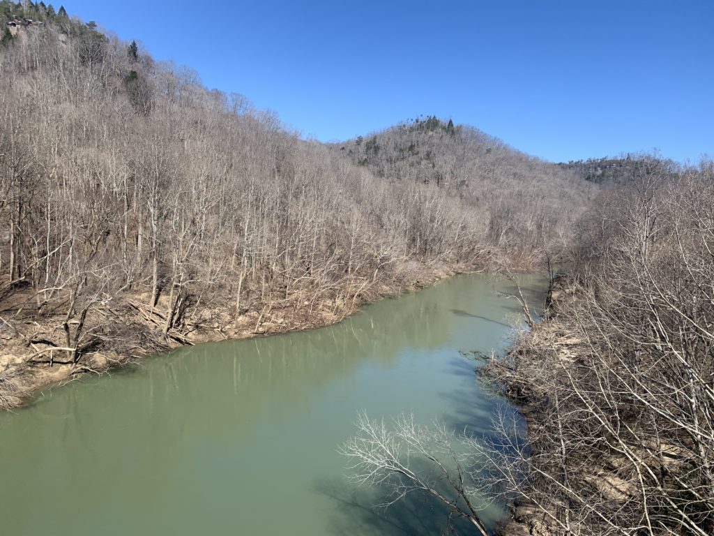
Rolling on the River
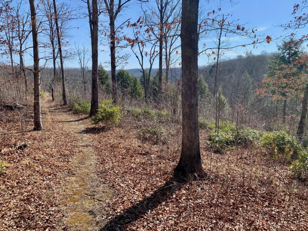
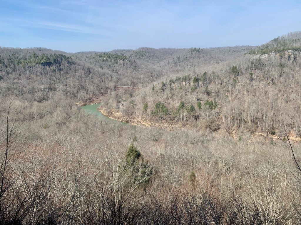
Get up bright and early and hit the trail! Continue on for a mile and some change to where the Kentucky TR makes a hard left uphill away from the River and ends along it’s bank (it continues on along by the way) Next stop is Ledbetter TH that probably does not see to much traffic from the looks of it. Stay right on the Sheltowee and rock hop Laurel Crossing Branch, a scenic little creek and a nice spot for a snack break. Continue on a bit longer on nice trail before it drops down to the intersection for Big Spring Falls, a .3 mile side trip. Don’t be a sucker and miss this one, it is well worth the very short stroll. The falls drops off a steep ledge and hits a slanted slap before plunging again. Enjoy this scenic spot before heading onto Dick Gap Falls which is less slender and includes a weeping wall of water that is quiet extensive. Continue climbing to Catawba Overlook where you can see Blue Heron and the bridge you used to come over the River a couple of short days ago. I love rewarding viewpoints like this one where you can see the begining and end of a trek. It is truly one of the coolest things you can see after busting your ass to cover some miles. When I am guiding, I the any opportunity to show my clients sights like this one, it really makes their trips and in turn, gives me great tips! It is just over a mile back to the bridge, but it looks kinda far. Looks in this case are deceiving as the tread is mostly level and very scenic too boot. When you see the River on your right, you are almost there! Pass back on the bridge back to your car, pop open a beer and soak in the goodness that is Big South Fork. I hope to see you out there one day!
Heading up from the River
Along Laurel Crossing Branch
Tunnel Time!
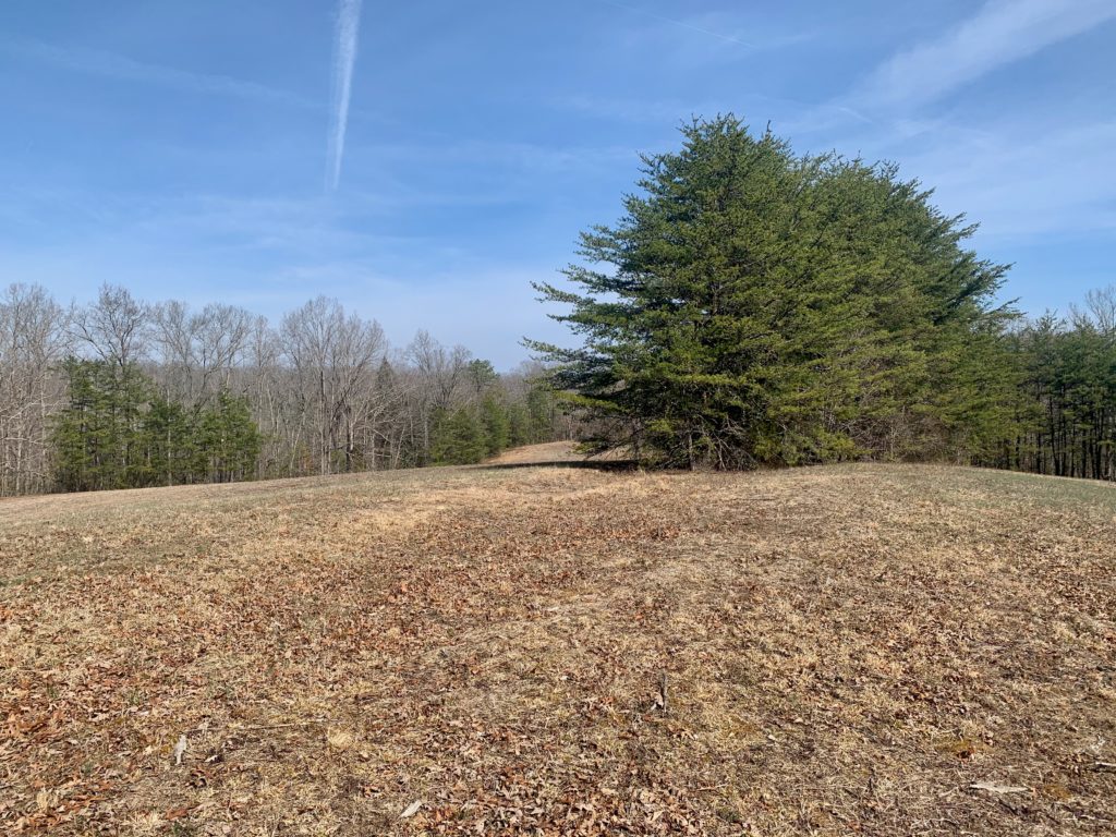
Random meadow
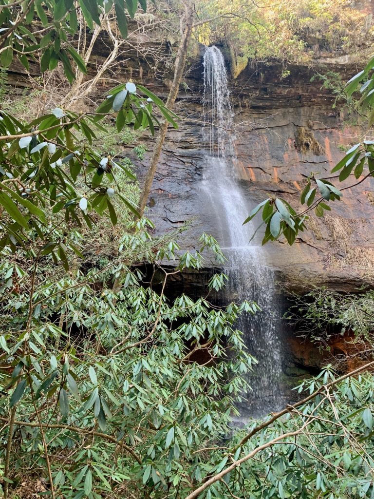
Big Spring Falls
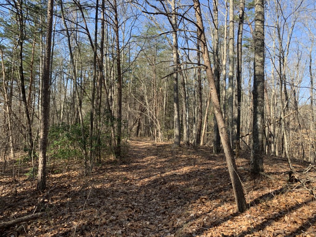
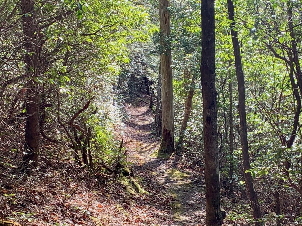
And so it begins…
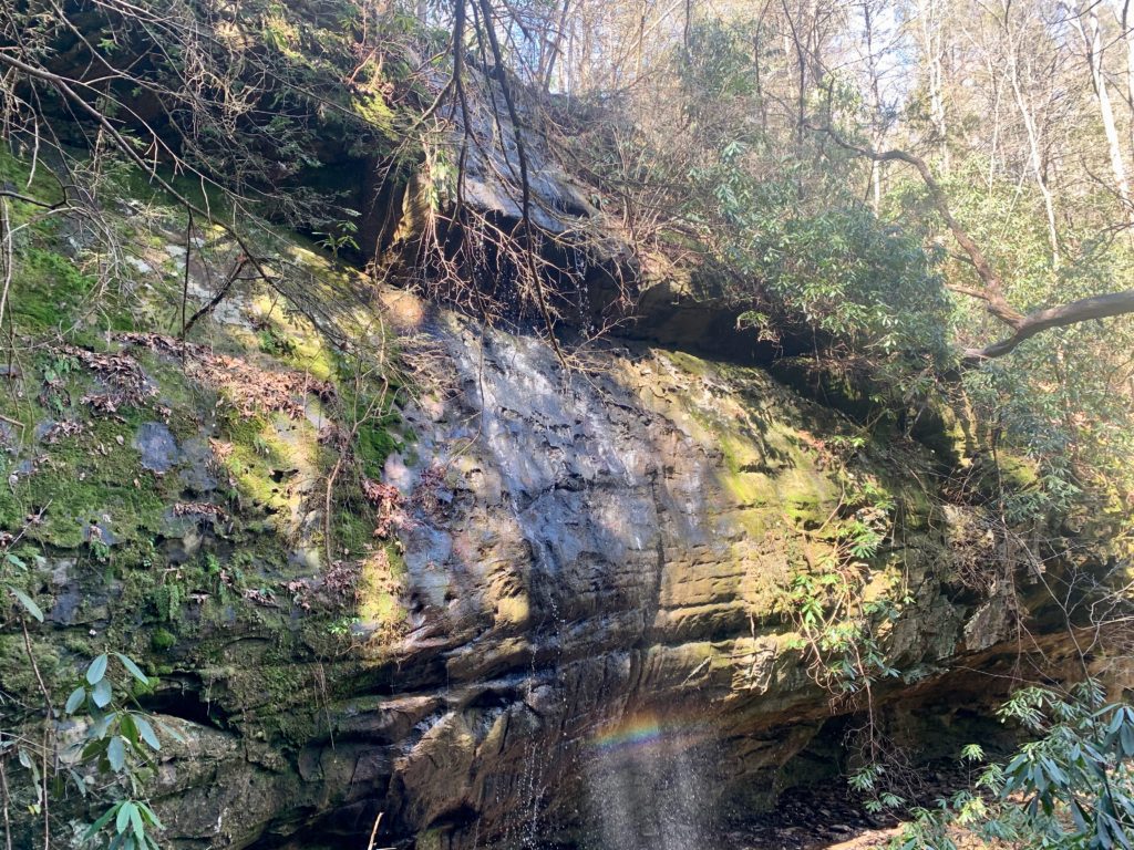
Dick Gap Falls
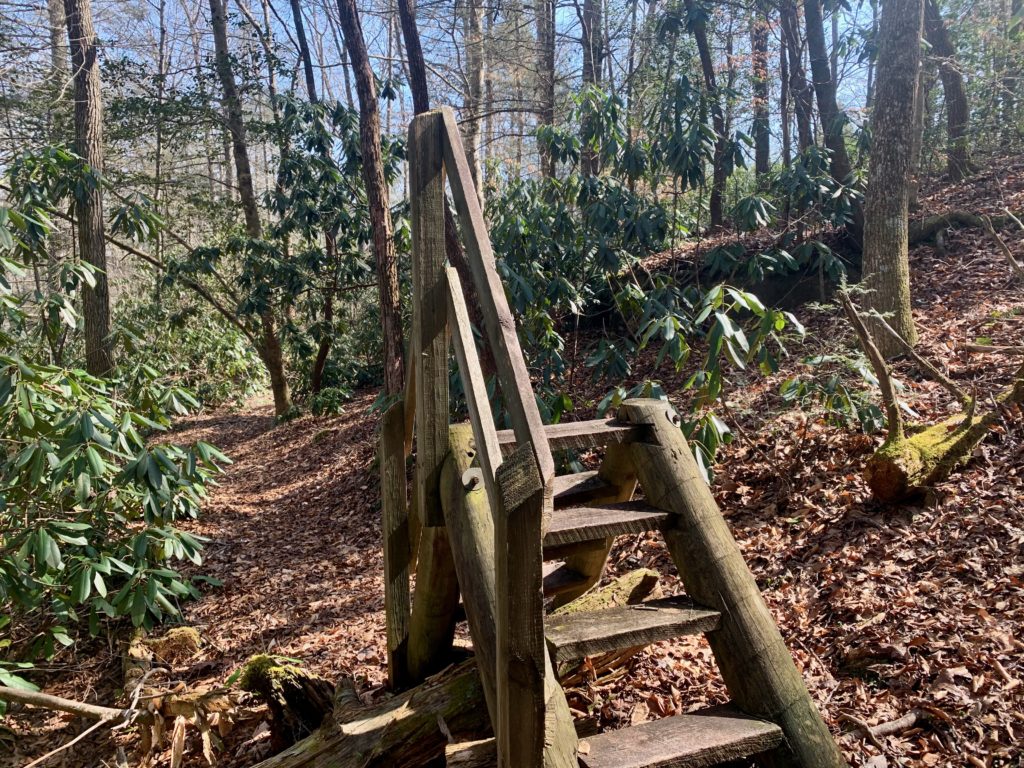
Weird small ladder to see Falls
Coming in hot!