Weekend Gem:JMT and Laurel Branch Loop 2023
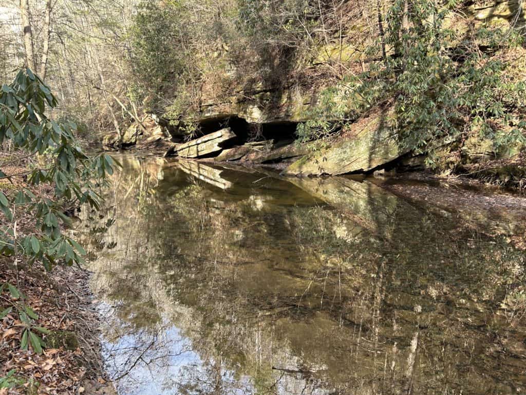
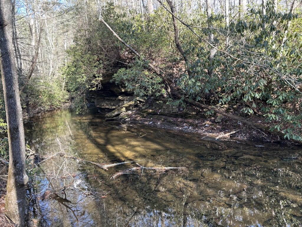
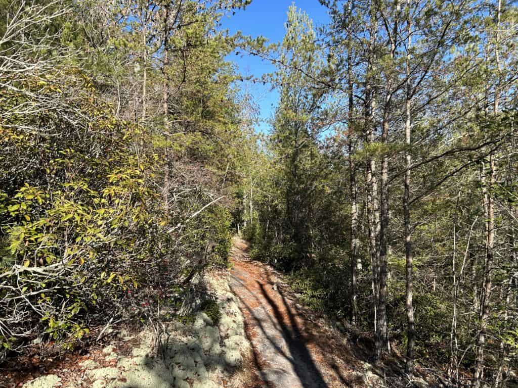
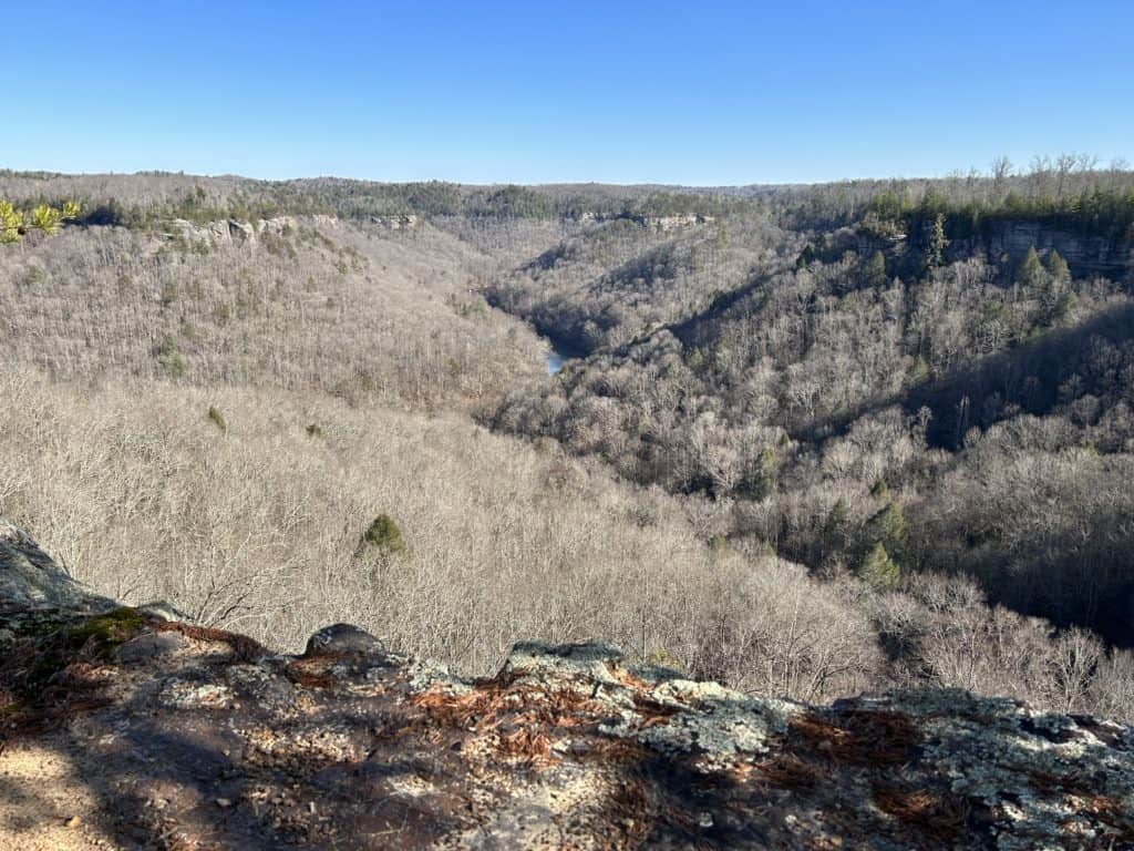 Back in the saddle again at good ol’ Big South Fork! 27 quiet miles fly by as the sweet silence surrounds you. It doesn’t take long to get into that true wilderness feel that we all love, just keep stepping. Winter is on the top of my list of favorite seasons to backpack, especially here in the Southeast. No driving on slick ass snowy roads to remote trailheads only to strap on snowshoes and slog on. Here, it hardly snows enough to make any impact for more than a day or two, which is great from a stress level perspective. If it might be icy, I pack my microspikes and hope for the best. More often than not they stay in their sack. Winter brings better views, quieter trails and more of that soul invigorating wilderness magic that we all know and survive on. Anyway, drive to Bandy Creek Campground and strap that pack on yet again for another adventure! Jump on the John Litton Farm Loop and when it splits take it to the right following Falls Branch. You cruise through a nice young hardwood forest while the topography on the right side drops off in steep steps that make BSF so legendary. Soon you hear the sound of Falls Creek Falls. A small falls that has a lovely round pool for swimming in warmer months and a bomber camp to boot. Slowly climb as Falls Branch creeps up the mountainside to higher ground. There are a couple of nice camps here where the seemingly mellow creek has carved a subway tunnel like cliff side. As you truck on you’ll see signs that say “Steep cliffs ahead”. Now is time to prepare for the goodness to begin with gorgeous views of the River and beyond. First you will see a split with the Grand Gap Trail, stay to left heading to the JMT. Pass over a road and follow the JMT as it moseys to a great look out point where you get your first good look around, but if won’t be your last. The Park Service sign says 10.2 miles but my Outragis Map differs at 9.2 miles down to Station Creek where there is year round water. Don’t get me wrong, there is great camps to the right off ridge ends about 3.5 miles but they are better in spring and in rainy junctures of times. Further in at 7 miles there is mostly reliable creek at Duncan Hollow, but I didn’t see any camping mostly because the land is too slanted to provide one. However, if you truck another mile or so there is a fantastic dry camp nestled in a sea of house sized boulders that would make for a lovely evening. I camped above Laurel Creek on a shelf where a small spring provided great water for the night. I listened to music with bourbon as the stars lit the night and the Laurel hummed below.
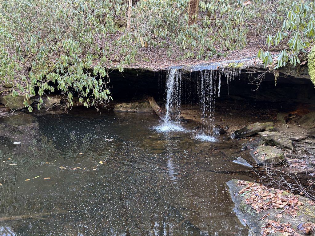
Fall Branch Falls

Yikes!
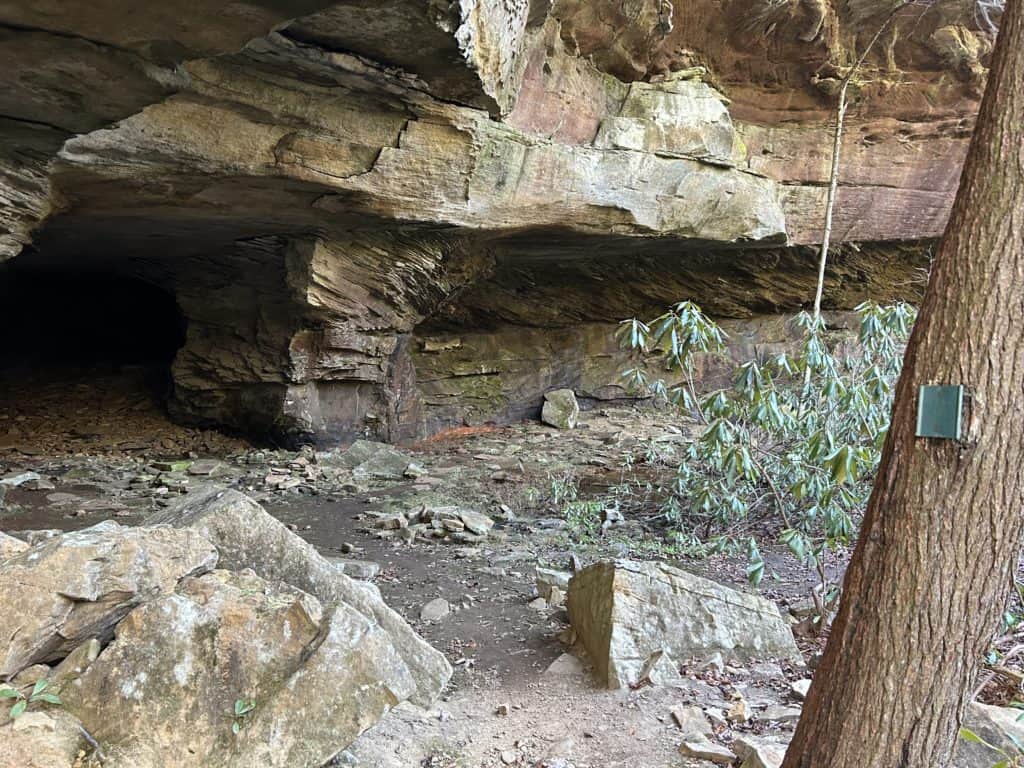
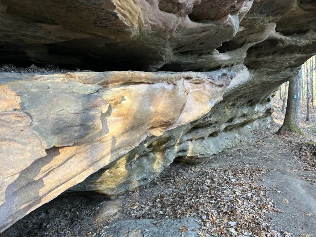
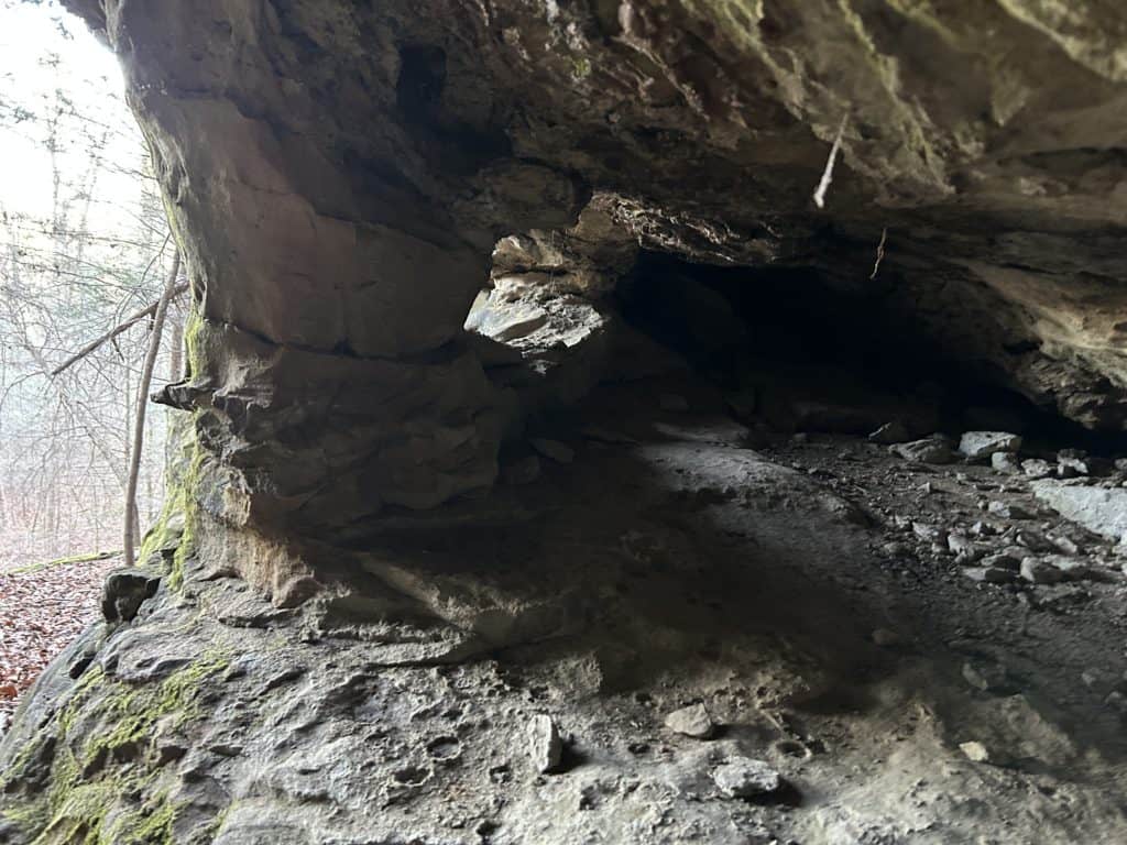
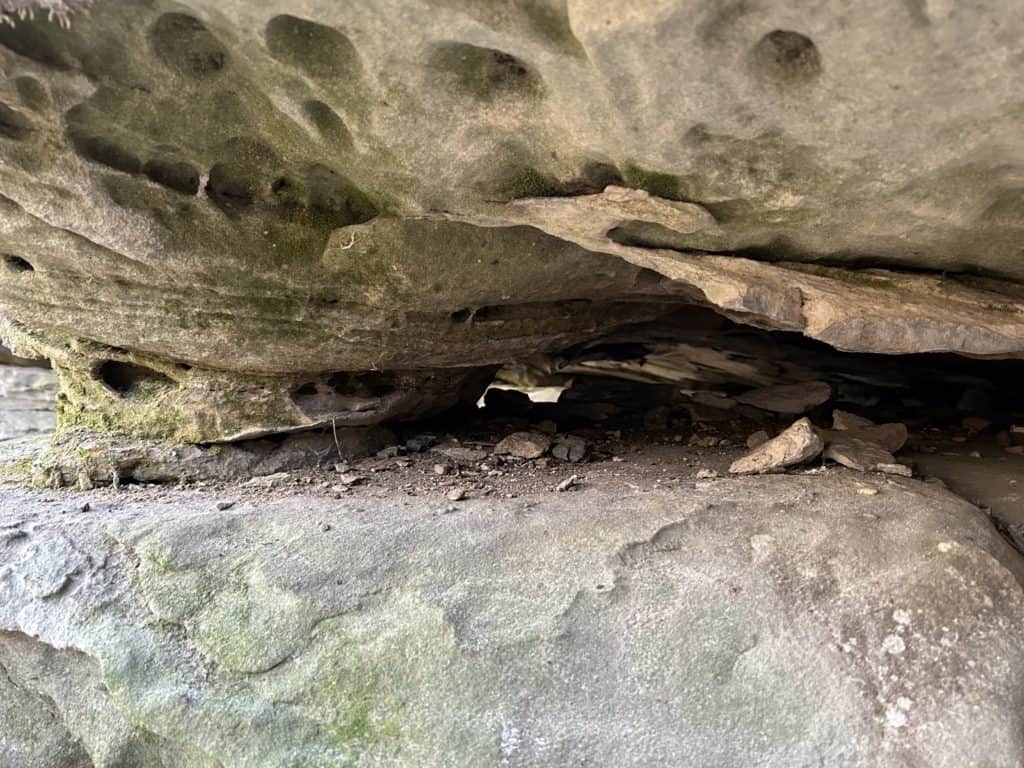
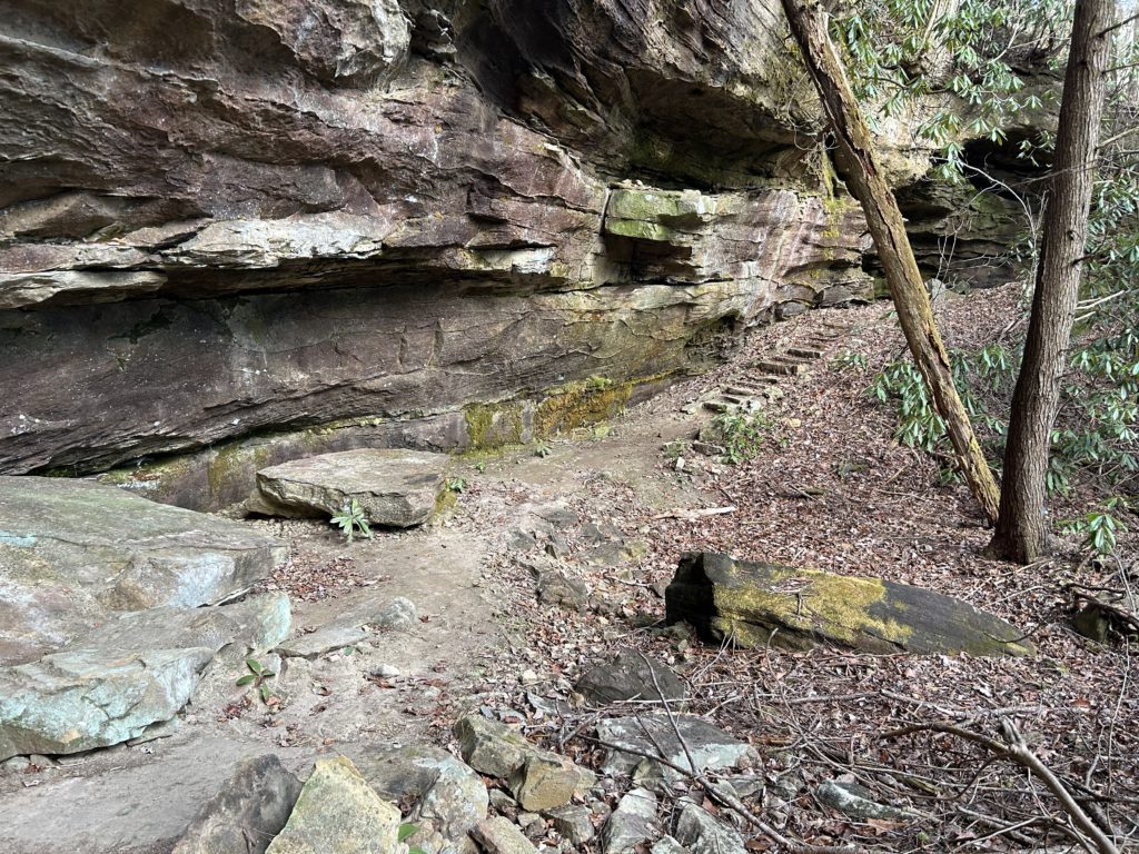
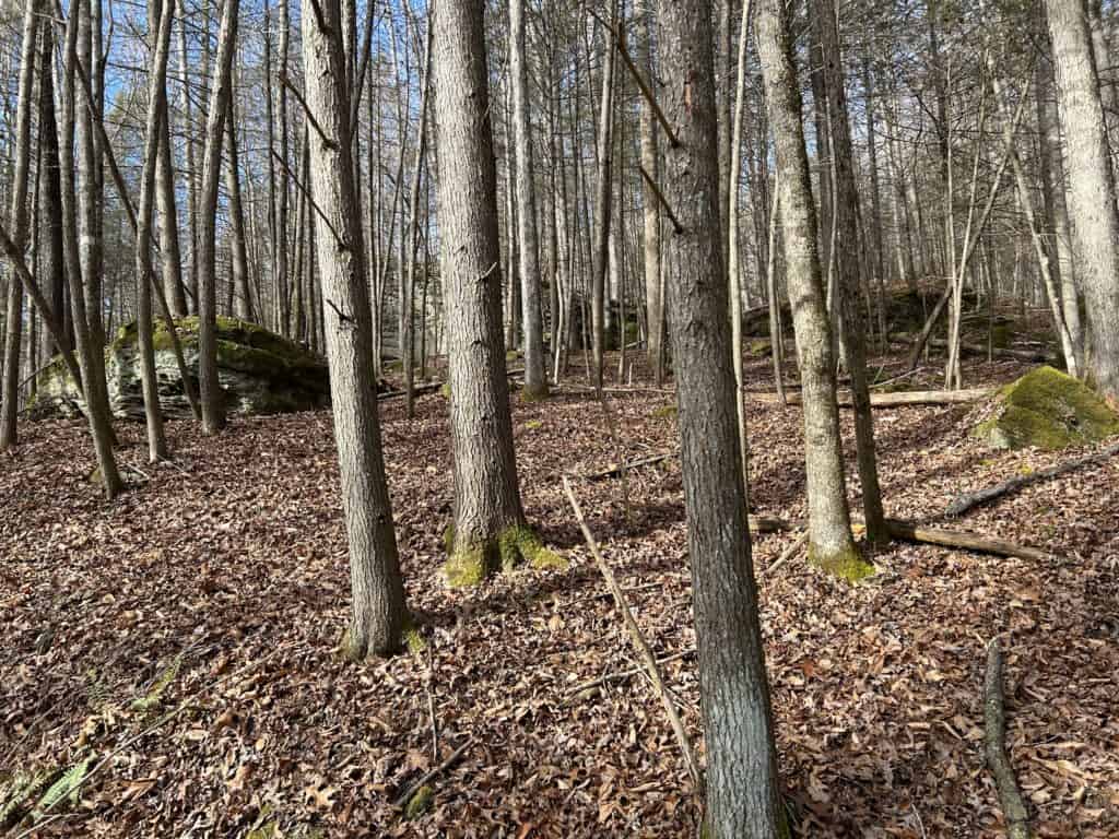
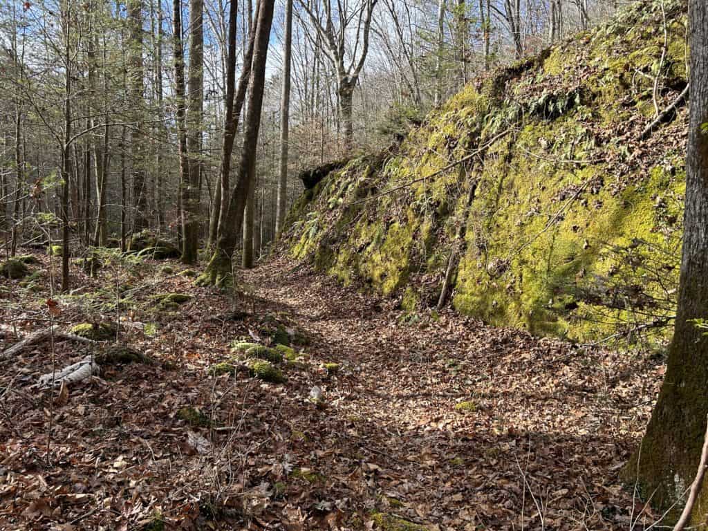
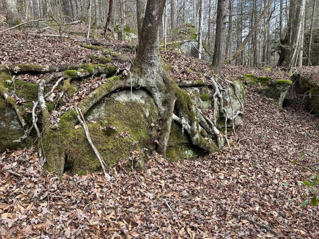
Get up to another fine morning in the mountains with a satisfying breakfast. Pack up your crap at a reasonable pace and hit the trail heading upstream on Laurel Creek. Cross over the Creek on a bridge at a horsey intersection that separates the two user types for the duration of this trail. The way is mostly flat, but has a couple of small climbs that are short. The first part stays mostly away from the Creek in a lush forest where giant boulders are covered in a thick moss. Steep cliff sides signify a much more wild volume of water has made its way through this canyon at various times. I’ve seen signs of alarming levels in the Big South Fork after big storms rolled through like limbs stuck 12 or so feet off present flow. Over the last five years, there has been 2 major storms that have hit this area up with startling damage to the slopes surrounding the major forks here. The most awe inspiring is on the bends of the rivers where it looks like a giants hand raked the land clean. Back on Laurel Creek, the way is mostly away from the creek threading through rockslides and vegetation. Mossy craggy boulders the size of houses stand like sentinels periodically appear as the miles amount. The way starts dropping down to the creek again where you meet the Sheltowee Trace heading back to Bandy, stay right following Laurel Creek. Here is where you have a few creek crossings that are mostly rock hops in regular volumes. Good news is there are amazing camps in this 2.6 mile section! My advice is plan an extra night and camp in this section. Eventually you will end up at the West Entrance TH. The key for these next couple of miles is to stay to the right on any splits following the hiker symbol at the intersection. The last mile packs a punch with nice rock houses as you ease your way back to Bandy. Empty out by the pool and make a right back to your rig. Pop a beer and change out of your soggy stuff into a fresh t shirt and jeans. Find some good music for the ride home and settle in with a tangerine or two for the trip.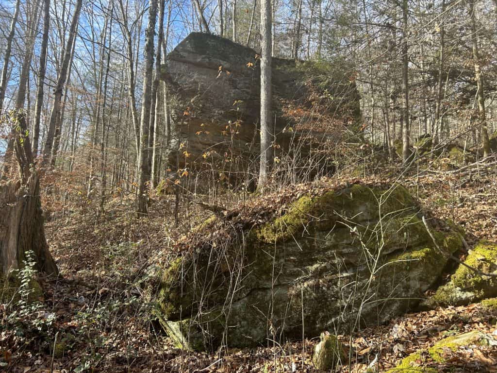
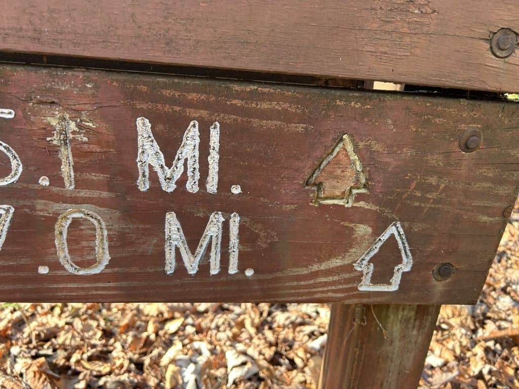
Cheeky bastards strike again fucking up the signs.
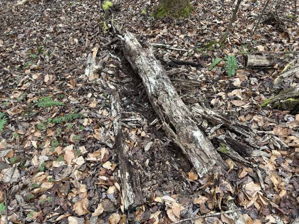
Bears