Momentous Adventures-Black Mtn. Crest
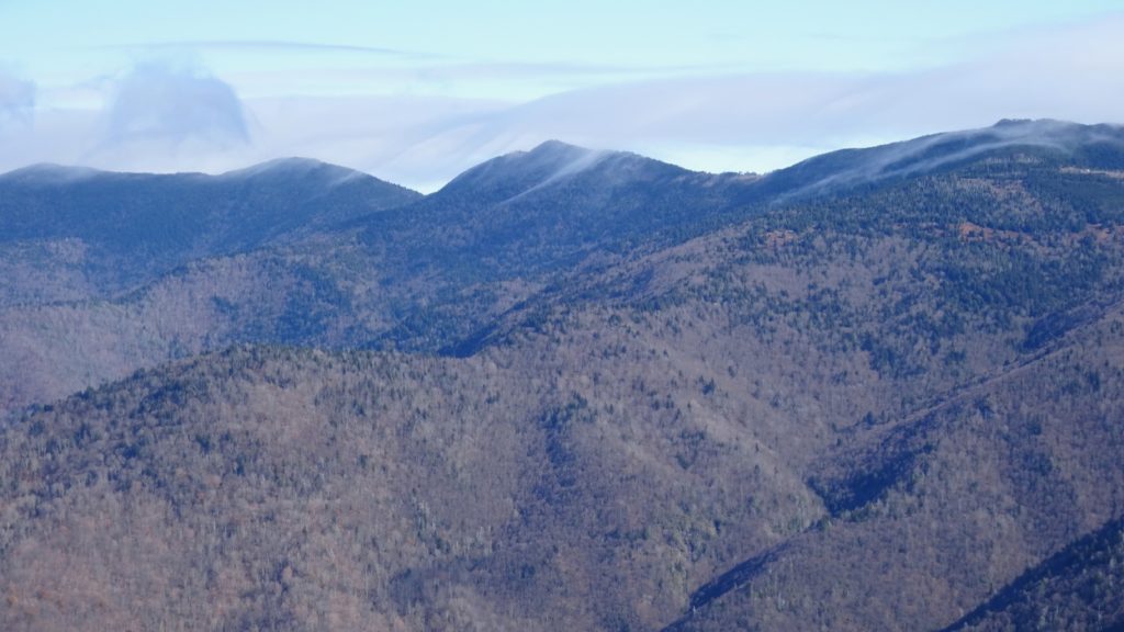
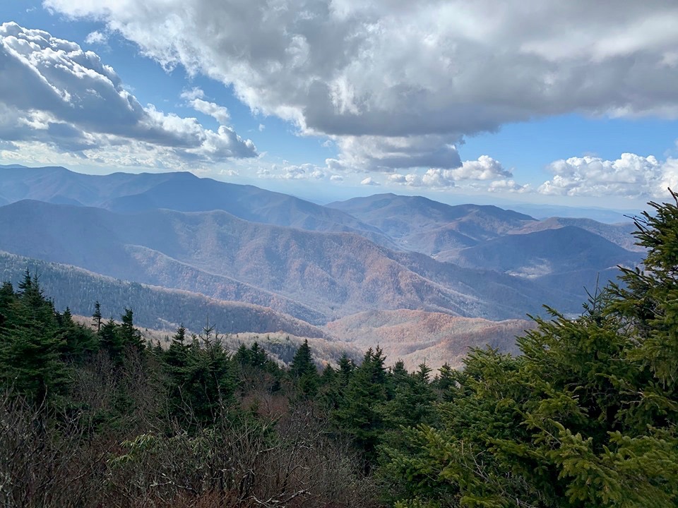
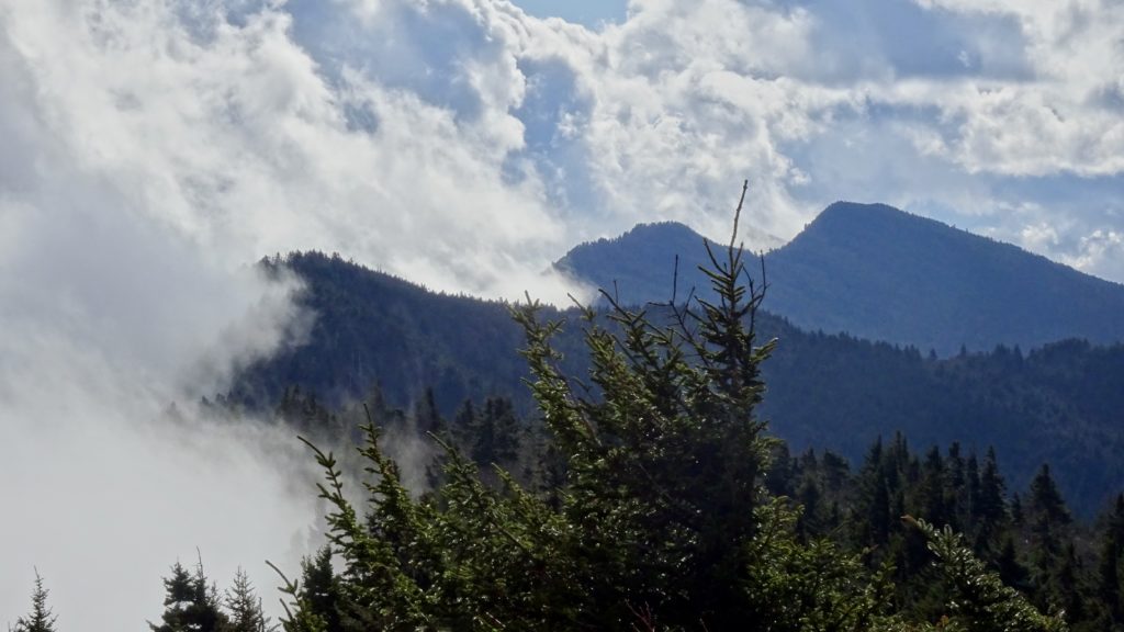
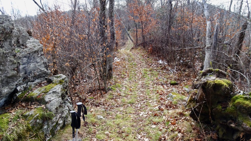
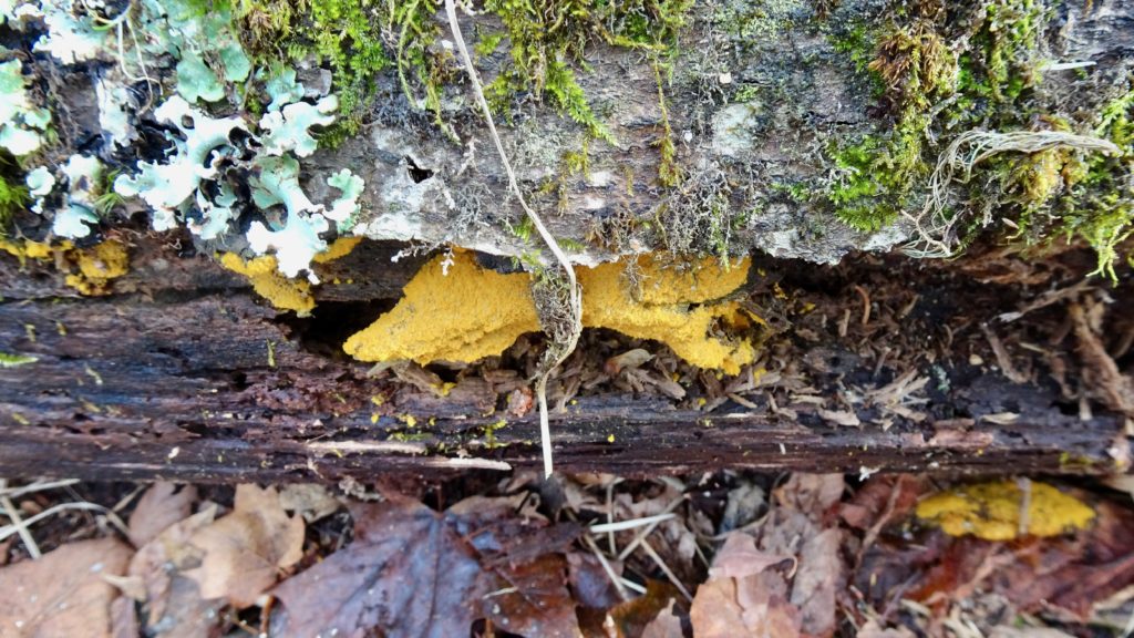
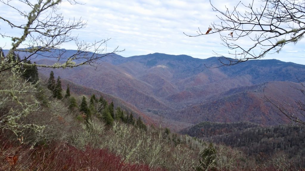
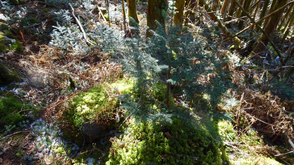
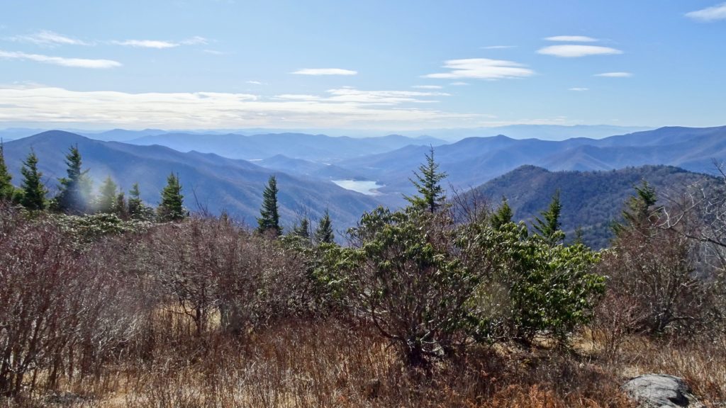
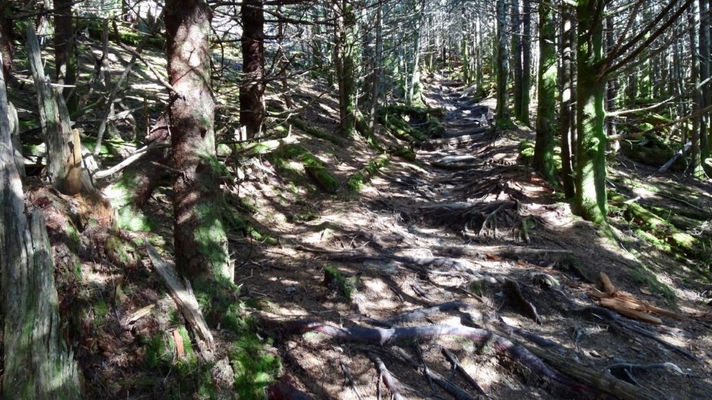
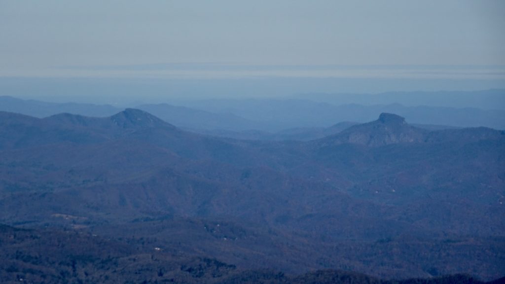
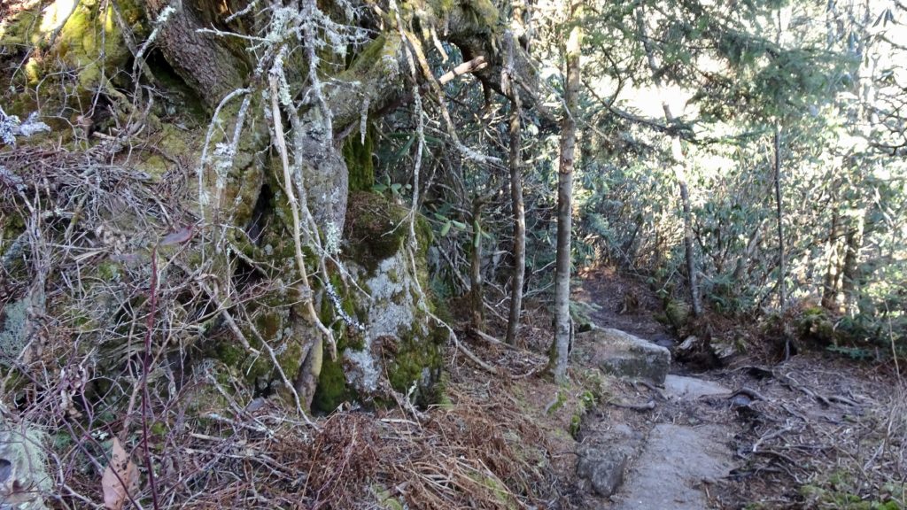
So far this is the best trail I have hiked in the Southeast. This 25 mile route follows three trails as it traverses the J of the Black Mountains. For most of the route you go up and down the many summits of the Ridge making for slow and demanding scrambling/hiking, plan on 3 to 4 days. A shuttle service makes the travel between the TH’s way easier, it cost us $50. Starting down off the Big Butt TH, gently begin the climb to the top of the ridge. Once up in the mix, traverse around Flat Spring Knob and then over below Big Butt. A nice spring and camp can be found here as a short side trail will lead you up to this oddly named mountain. This next segment between the “Butts” is extremely scenic with great views out to the Craggy Mountains and the rest of the Pisgah and beyond in all directions. Cresting up Little Butt, the tread drops down a little bit before climbing to Point Misery and more nice views. The trail then shoots down to Balsam Gap where it meets the Blue Ridge Parkway. Stock up on water at Raven Fork before the HWY, or across the road on a short road to the left of the MTS before the Watershed sign. On this trip, water is a huge issue, so make sure to grab some where you can. Take the MTS up a steep incline to Blackstack Knob where good, but dry camps await.
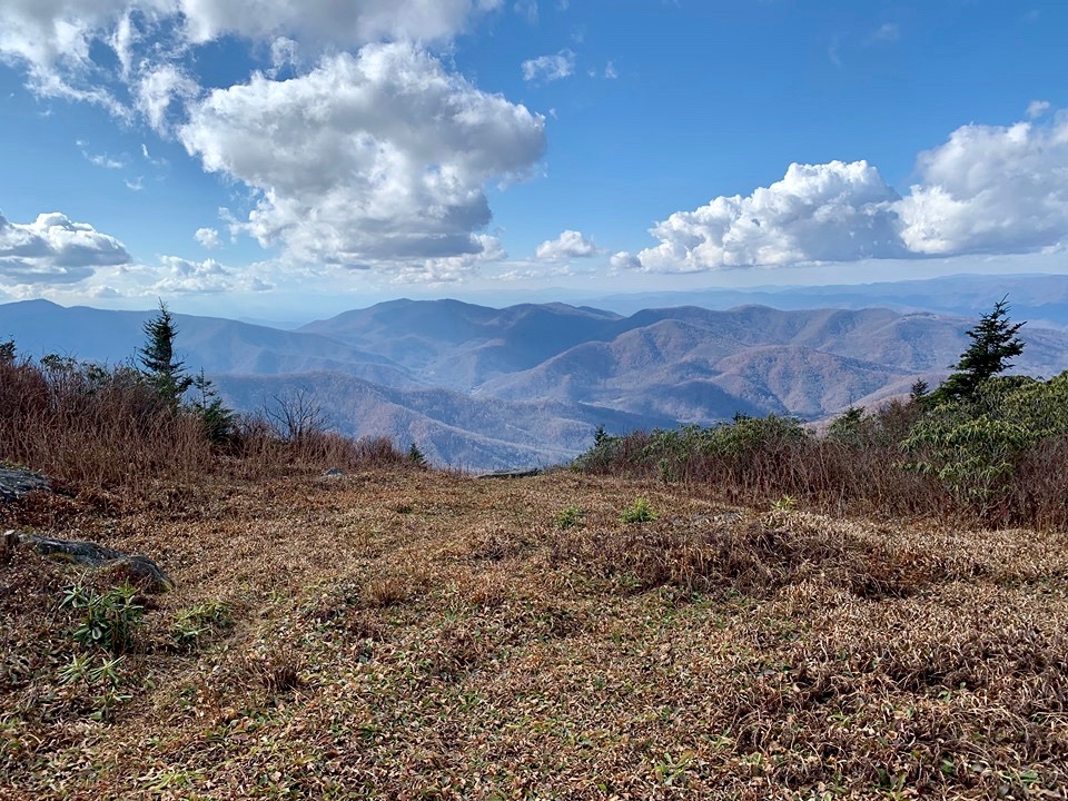
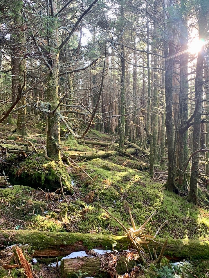
Get a good breakfast after a brisk evening on Blackstack and head out down to Rainbow Gap where more camps can be found. Climbing out of the Gap you traverse up and down along the Ridge before a long, but scenic drop on the side of Potato Knob with open grassy bald like goodness. Now you have a choice. Take the road to the left 1.6 miles to cut off some of the MTS TR. and to rejoin the Ridge proper and take the Old Mitchell TR. to the Summit and beyond. You can stock up with water at the Ranger or up top before November and continue on to camps near dry Big Tom or even better, Cattail Peak. Just keep in mind there is no camping in the State Park, so you must camp on the right of the Trail. Or continue on the MTS to Commissary Ridge, where tons of water and rad camping spots can be found by Lower Creek in a nice grassy expanse. Since we did this trip mid November, we camped here and found it very pleasant.
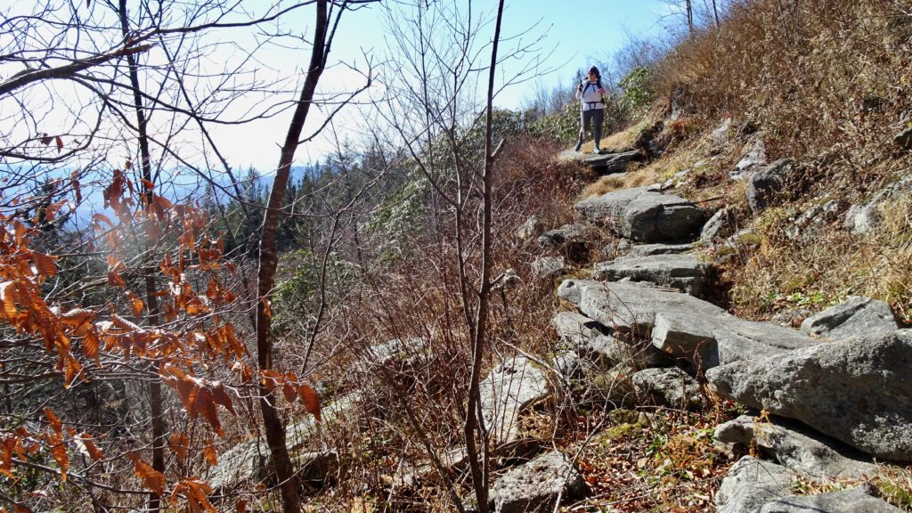
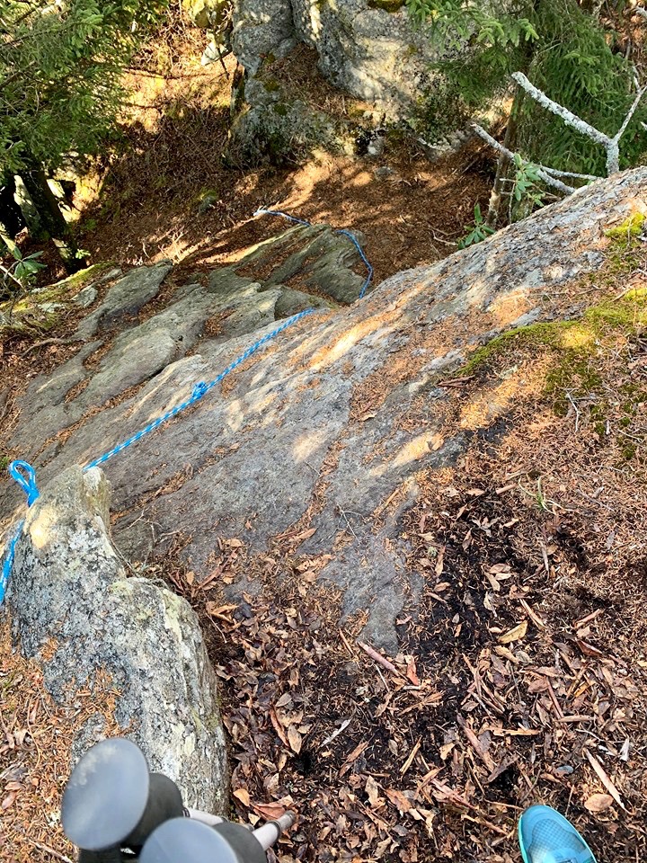
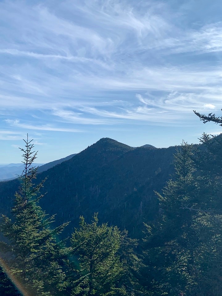
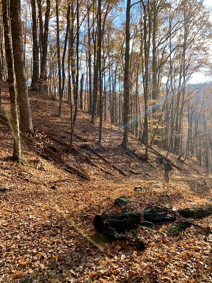
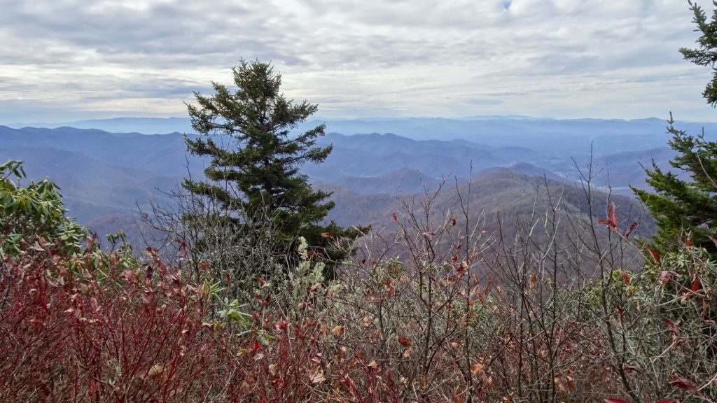
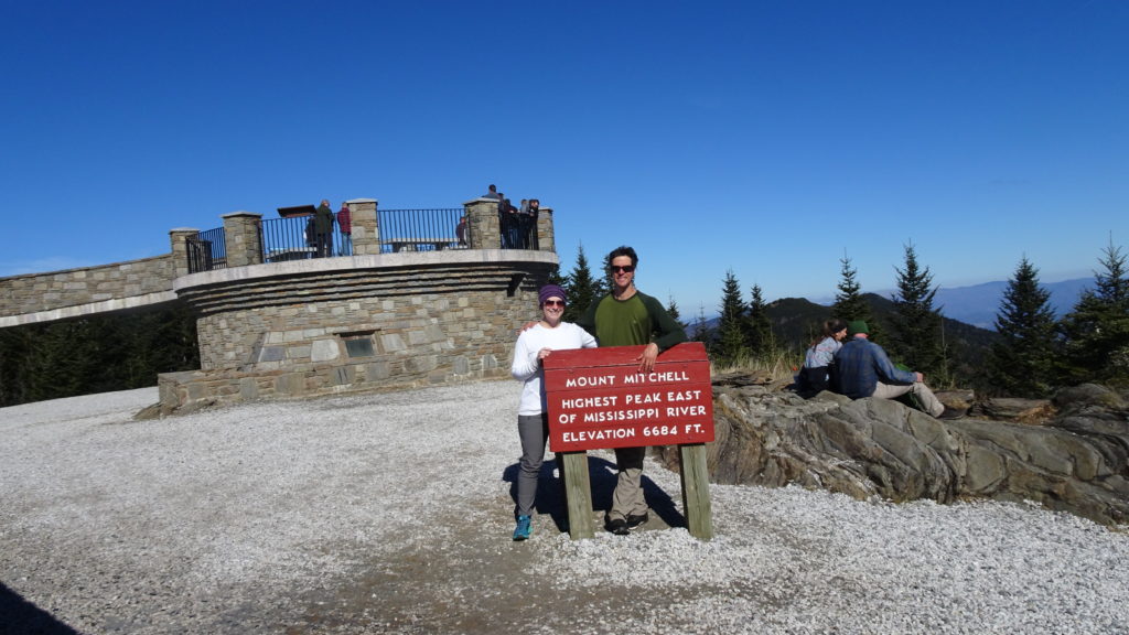
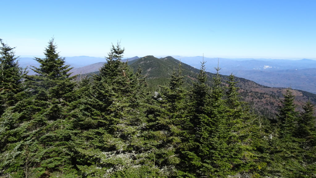
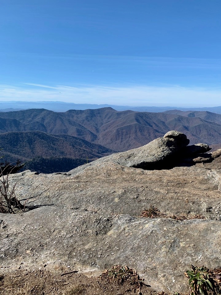
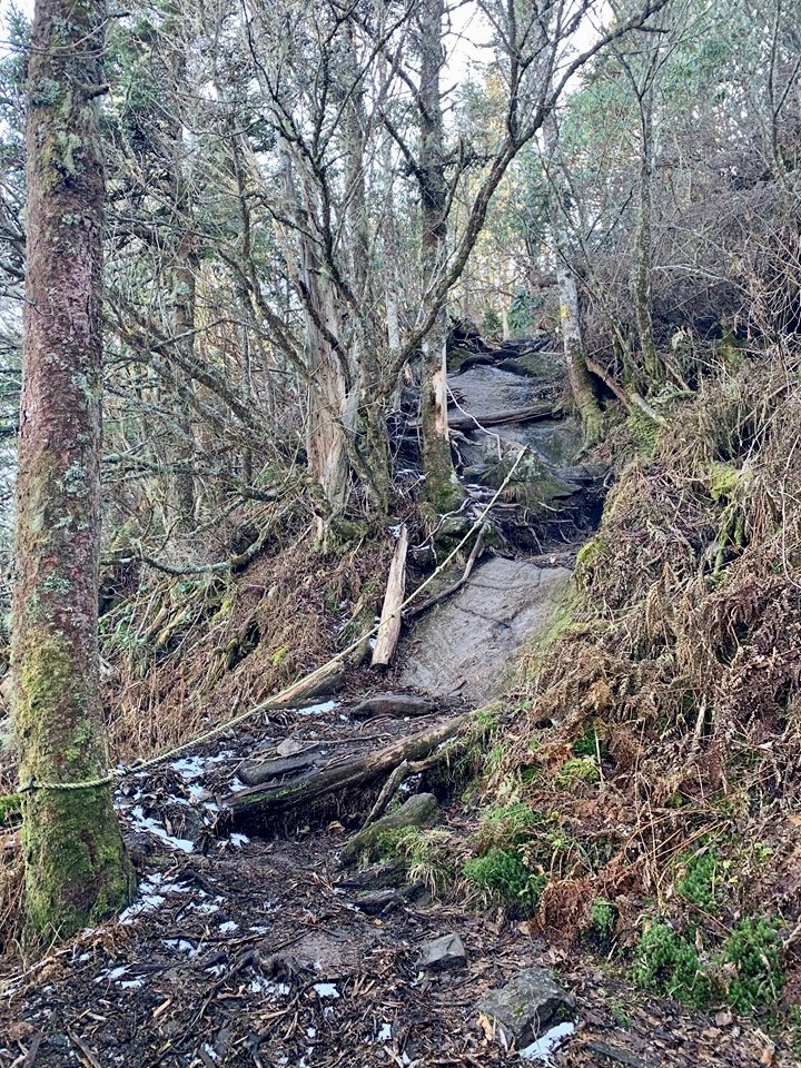
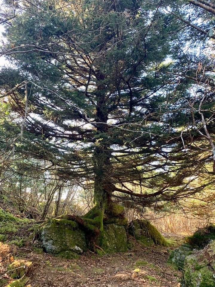
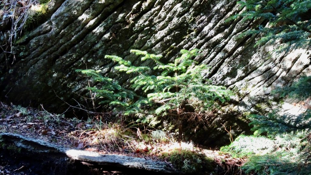
Start out your day with a nice cup of Joe and head back up the MTS to Alice Camp TR. and start heading up to the Summit. This way is steep, rocky and rooty but also very pretty, so pace yourself. Soon you will hit the Old Mitchell TR. that continues it’s assault on the Mountain. Before you hit touristville, take a load off in this dense forest and have a nice snack. Hit the pavement path that leads to the minimalist viewpoint and make a right to see the top. If not, make a left and take it down to the parking lot and continue to the end of it where you pick up the Deep Gap TR. (Black Mtn. Crest TR #179 right?) as it stays relatively flat before climbing to Mount Craig on rocky slabs. Good views await here down to Celo Knob and across to Big and Little Butts. Drop down a little on rocks and ropes to a small gap before climbing to Big Tom. Look down the Ridge and check out Balsam Cone (nice camp) and your next summit. Drop down to Big Tom Gap and begin climbing again. A short decent leads you to Cattail Peak where the State Park Boundary ends and great, but dry camping begins. Two SP signs on a tree signifies the end to these ridiculous rules. Climb up a little before hurtling down to Deep Gap, your camp for the night. First you hit nice meadowy and sheltered spots before dropping a little more to the Gap proper where better camps lye. Find water off a old road to the left about a quarter mile down. Enjoy a nice sunset and settle in to your awesome spot!
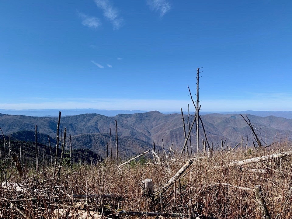

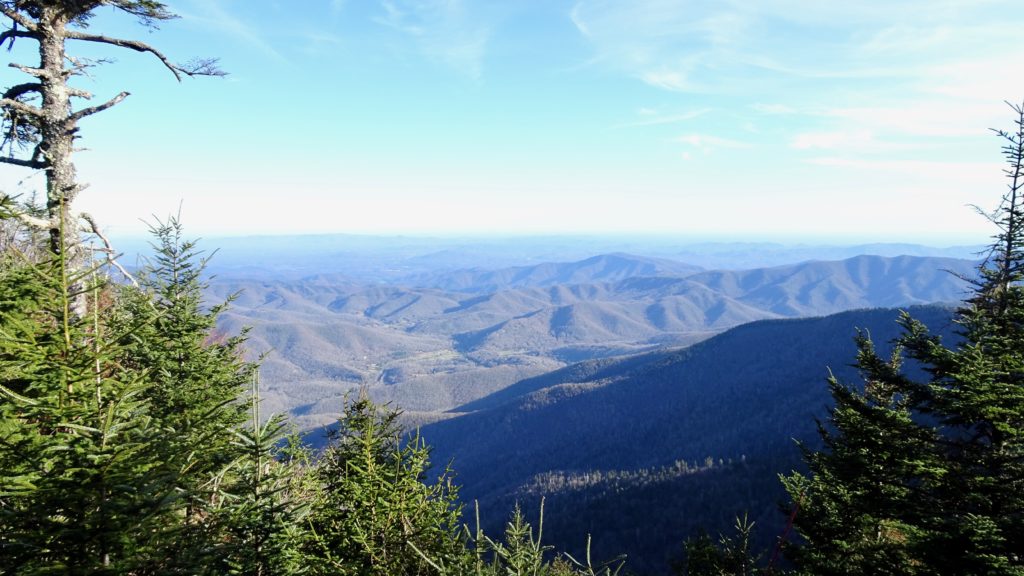
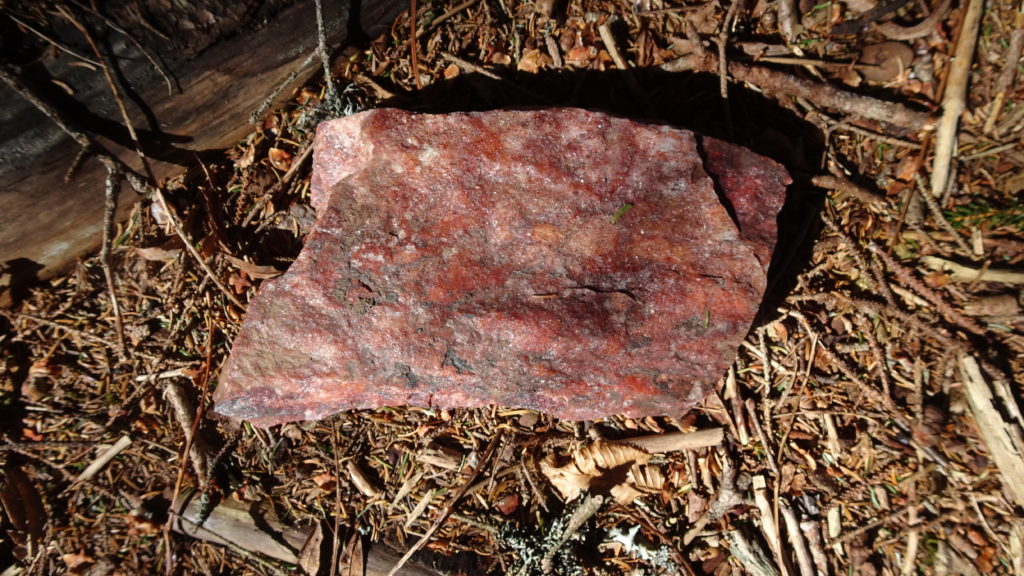
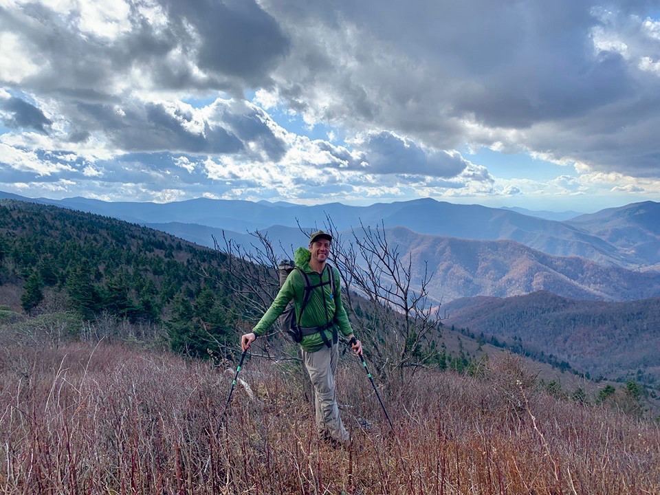
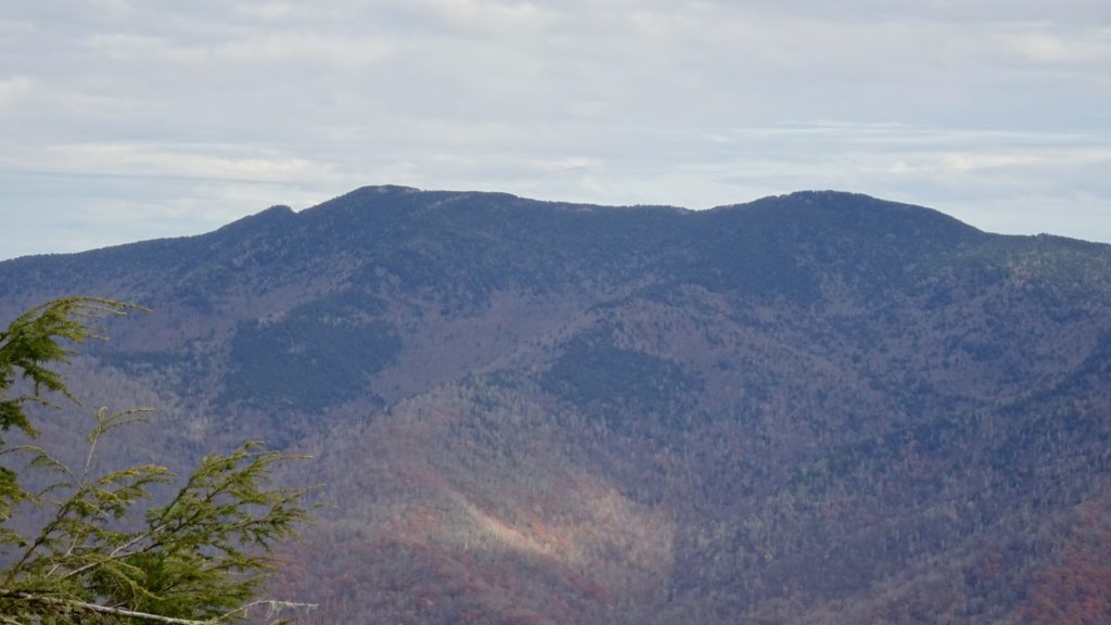
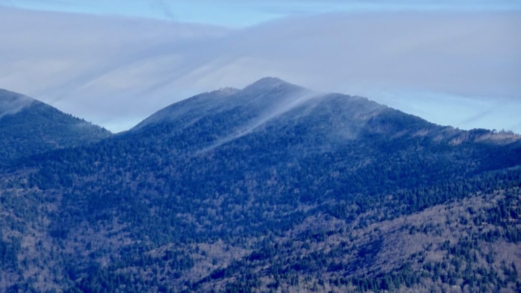
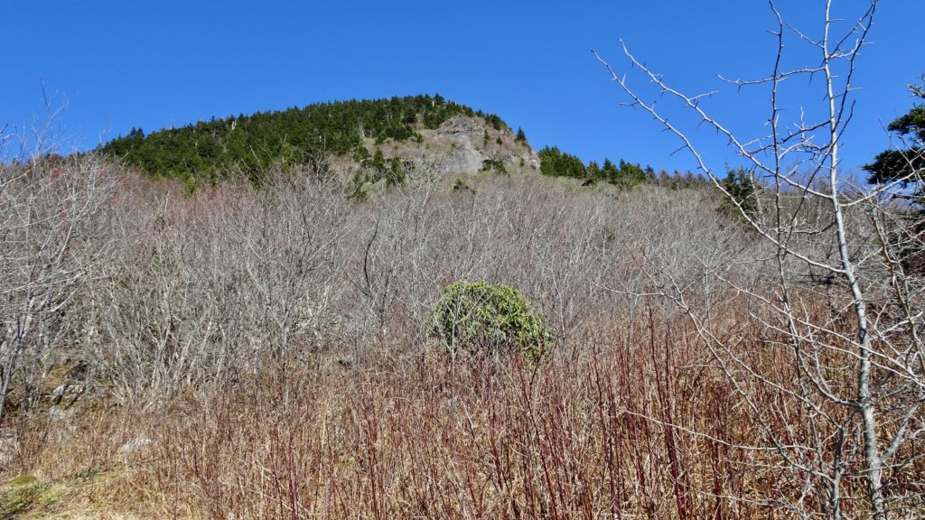
Wake up refreshed and begin your climb up a steep slope past Deer Mtn. to Winter Star. There is a awesome small camp right on top of the Mountain where is a good spot for a snack break. Views open up in all directions along the next section as you traverse up and down on this rougher part of the trek. Continue on to a climb again up to the left side of Gibbs Mountain as the forest begins to lighten up. This final section before you drop down Bowlens Creek is really, really pretty. You can see your whole route from Cane River Gap onwards along the Crest to your present location. Peak after fabulous peak that you scaled lye stretched out before you in a most elegant fashion. The section by Horse Rock is a mix of a grassy and a Roadie bald that is relatively flat on top of the Ridge, hours of potential chilling out reside in this expanse. In front of you now is my favorite Mountain of the trip, Celo Knob. It’s cool conical shape and red color reminds me of volcanic cones from my PNW days. Skirt the left side of the Peak before the Trail hooks up with a old road and takes you on down to your car in nice open hollers. Enjoy the long decent and talk about the sights you saw the past 3 days. Get to your rig and pop open that reward beer, you deserve it playa!