Momentous Adventures: Cosby to Cataloochee Figure 8 Loop
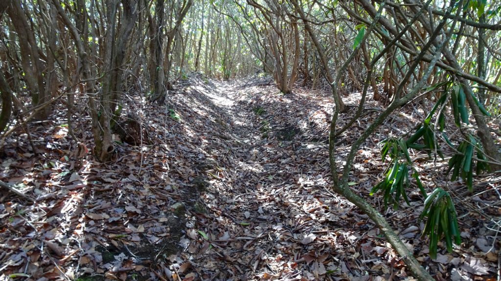
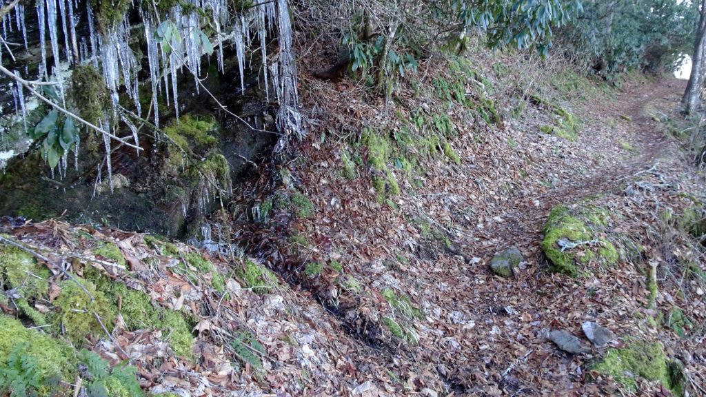
Upper Palmer Creek
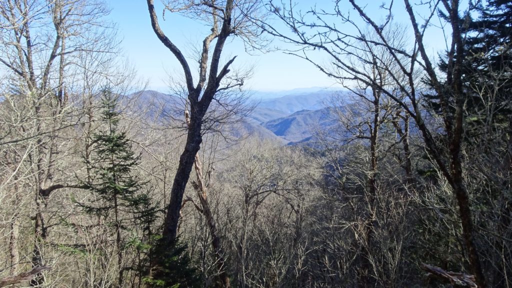
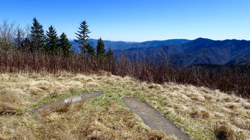
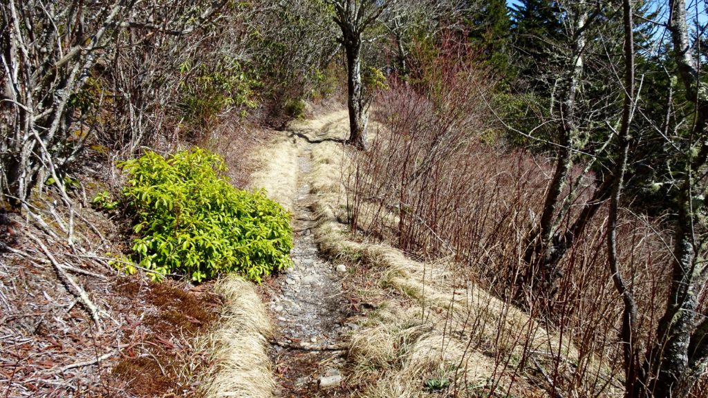
This 67.2 mile loop is amazing! From viewpoints on Balsam Mtn, the BMT, Cataloochee Divide and the A.T. that stretch out for more miles than seem conceivable to the isolated river valleys of Swallow and Palmer where spring has taken recent roots as the winter slides away. I would like to add that this has also been the most challenging trek that I have taken in the Park, with long demanding days and lots of ups and downs. At any rate, I would not let that sway you from taking on this trip, it’s well worth your time. Start out at Cosby Campground on the Low Gap TR. and begin the climb up to the A.T. The nice part of this trail is the cut and dry nature it takes on the climb, with the obvious Gap above you to check your progress. Once on the A.T. I would take a break and have a snack before dropping down again to Big Creek. On the way down, you will hear the roaring Creek below way before you see it. Soon, Walnut Bottom’s flat expanse comes into view, this spot is frequently closed in peak season for bears. Cross over Big Creek on a bridge and make a right onto the Swallow Fork TR. This trail follows this lovley creek as it cascades off Sterling Ridge, it climbs steadily along this watershed as you cross the Creek several times on your way up to the BMT. Once up on Pretty Hollow Gap, take a second to take in the impressive view of Indian Knob and across to the Cataloochee Valley far below. After realizing how lucky you are to be able to enjoy view like this one, start your decent into the Valley. You begin in the top of the Holler before following the namesake Creek proper, crossing it a few, easy times as it flattens out at #39, your spot for the night. The best small spots are past the horse camps on the left, an up the incline in a open forest floor.
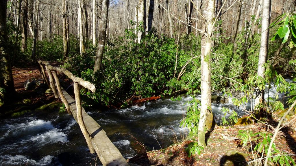
A crooked footbridge over Pretty Hollow Creek
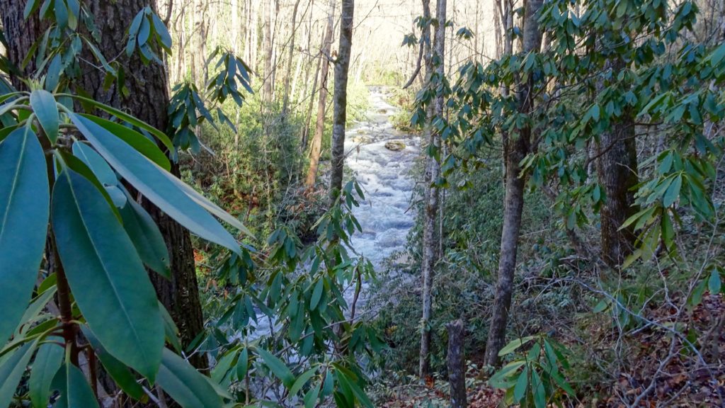
Pretty Hollow
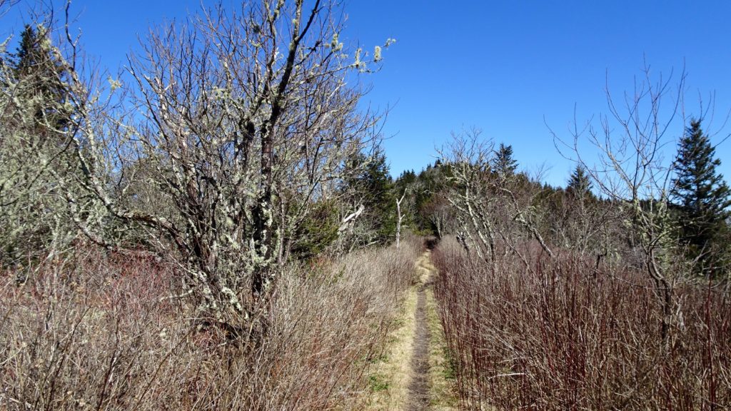
After a restful night’s sleep, finish off the decent into the Cataloochee Valley by staying left at the split to Palmer Creek and then a right again following signs to the road. Make a left passing the Palmer Chapel and into the meadows of the Valley where elk can usually be spotted. When you pass the front country camp, make that subtle right and begin your roughly 5 mile climb to meet the eastern terminus of the Divide TR. Once you arrive at Cove Creek Gap, make that right and begin the Divide TR. This lower ridge line has less conifer trees on it, so at this time of year, the views are especially stellar into the Valley, distant watersheds and across to Mt. Sterling. This relatively mellow Trail passes by a couple of oddly placed houses, ranches and small historical structures as it follows the border of the Park. The views down south into Maggie Valley are awesome, but the vast expanse of mountains in North Carolina take the cake. You will pass by the Appalachian Highlands Learning Center next, located in a scenic spot next to Purchase Knob. This next 7.3 mile second section is a mixed bag of viewpoints, old cabins and ranches that straddle the border of the Park. Before you drop down to Double Gap, you will pass by a big hotel/ranch as you enter into a strange, almost unnatural prairie on your left. Arriving at the Gap, you will see a collaboration of signs and trails, mostly private. Keep following the signs for the Divide as it follows a ominous barbed fence that adds to the “charm” of this resort. Soon, you will be on top of Hemphill Bald and a cool grassy area to have a break in the sun. Drop off the Bald and head down to Pine Tree Gap and then begin climbing to a awesome higher section passing Sheepback Knob and the random springs and seeps of Maggot Springs. Now, since you are getting tired and ready to wrap up your day, look for a the red markers on your left signifying private land (NC Wildlife) near Strawberry Knob. There you will find some flat spots to make a primitive camp that is out of the Park. If you start dropping down again, you went to far. Enjoy a quite night here, I doubt anyone will be cruising by.
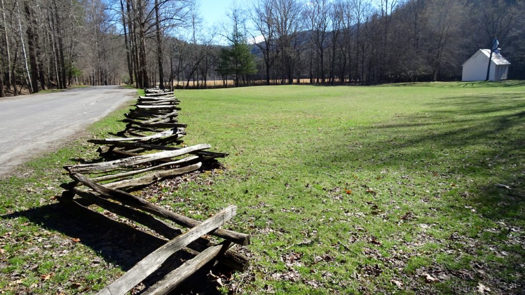
Palmer Chapel. Where them elk at?
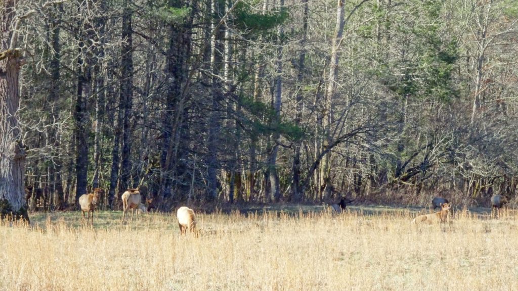
Elk!!!
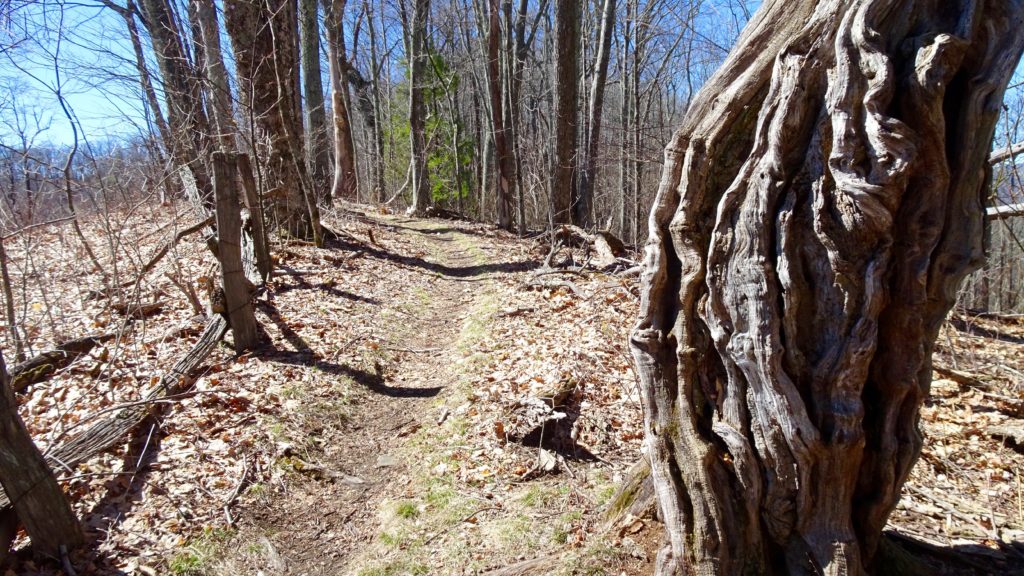
Cool open burl near Cove Creek Gap on the Divide
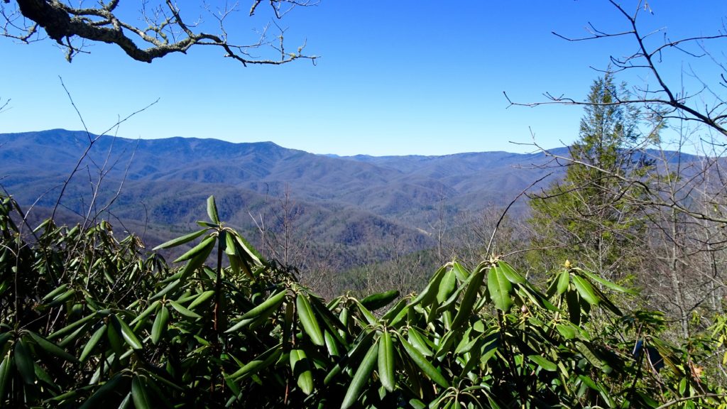
Nice views down to Cataloochee Valley and the BMT
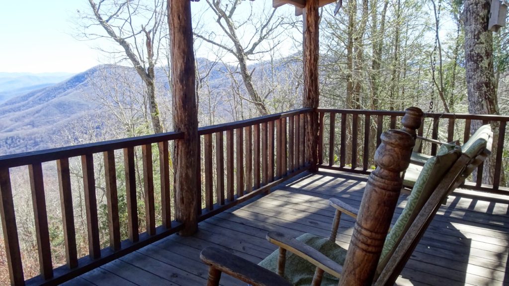
Rad rental cabin, sign me up!!!
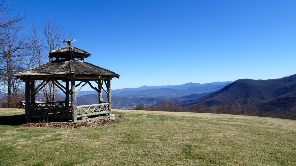
Scenic gazebo and view of Maggie Valley
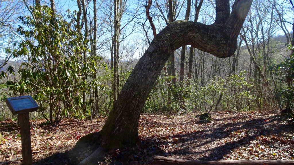
Cherokee Marker Tree
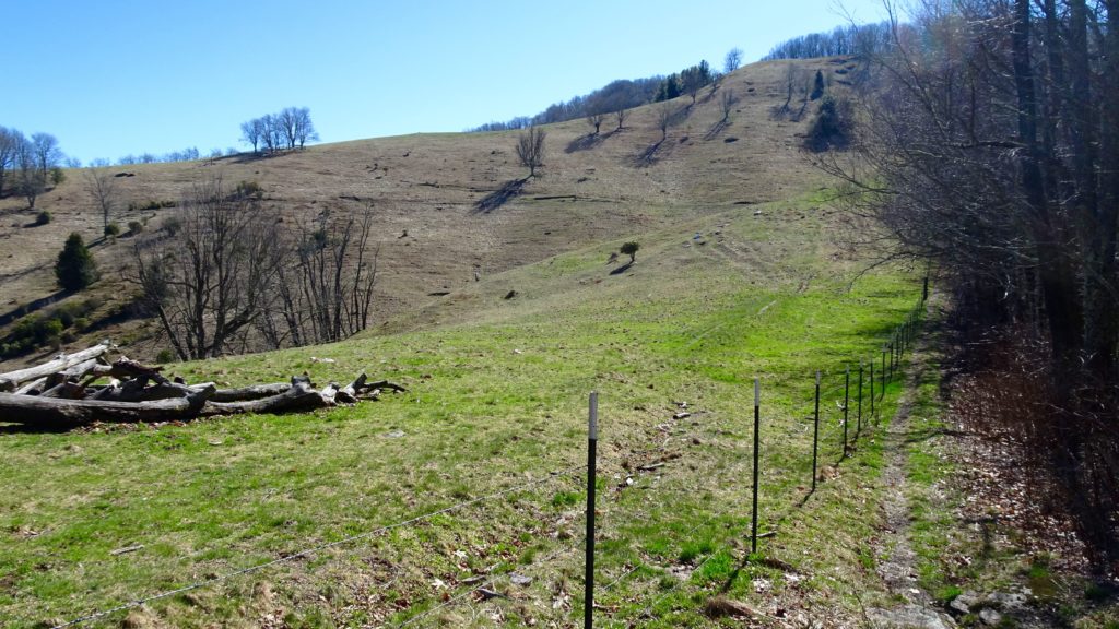
Double Gap
An icy ridge scramble by Strawberry Knob
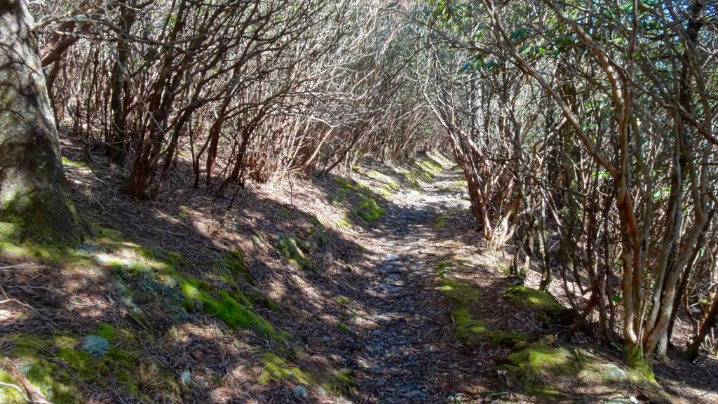
Begin the next day with a strong cup of joe and some oatmeal before packing up and heading down to Polls Gap. Make that right down Rough Fork TR. as it rambles down through pleasant forest. Stay left on Rough Fork as it jumps on Little Ridge with contouring creeks on either side of the trail, quite scenic. Pass by Woody House before meeting up with the road again, stay straight by a historic house and a school. Look out for more elk, they like to hang out in these meadows. Make a left towards Palmer Creek TR. on the Pretty Hollow Gap TR. and repeat this short segment of trail (the only bit you have to repeat on this loop). Make a left on the great Palmer Creek TR. as it follows this pretty Creek in a steep walled canyon. Soon, the tread starts climbing away from the Creek crossing a grip of cascading side branches. Looking up and to the right and see the notch at the top of the canyon? That is where this trail dumps you out by the road, make a right and walk a short 1/2 mile to Pin Oak Gap, the start of the Balsam Mtn. TR. This lovely trail climbs a short bit, but all in all just follows the ridge tops with good views of the BMT and most notably Laurel Gap, in the obvious notch over your right shoulder. Climb a short bit to meet the Benton Mackaye TR. in a open, mostly conifer forest. Climb a bit and then drop down to this scenic shelter and set up shop, enjoy a nice sunset and a bite to eat before hitting the sack.
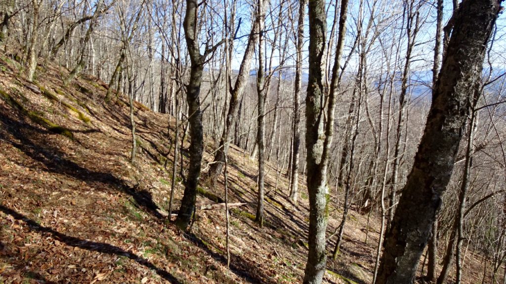
Nice open forest on the top of Rough Fork TR.
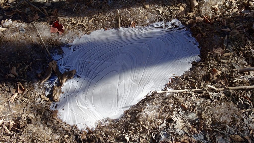
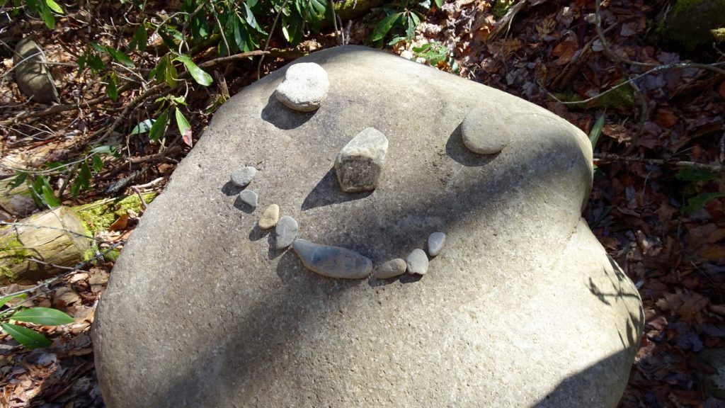
Icy puddle
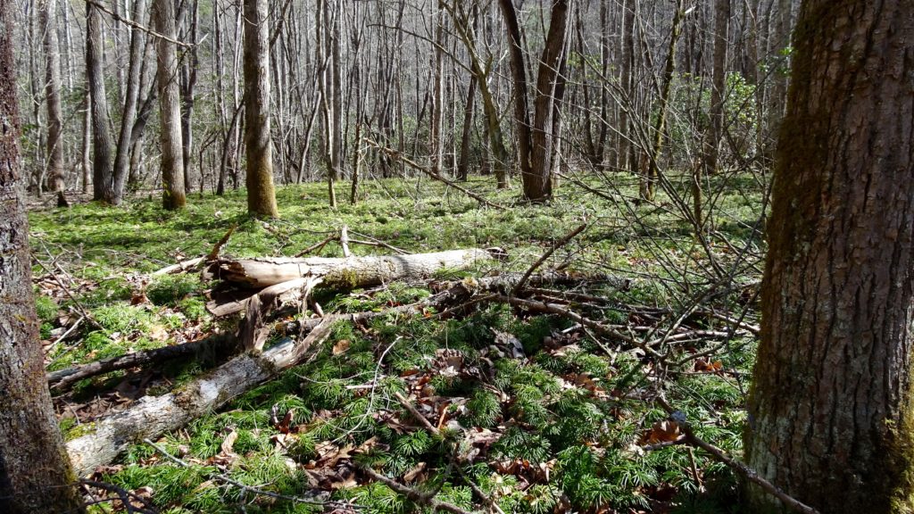
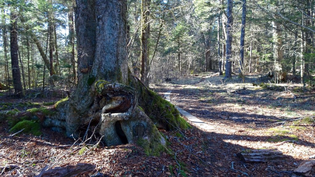
Ground Cedar covers the forest floor along Little Ridge
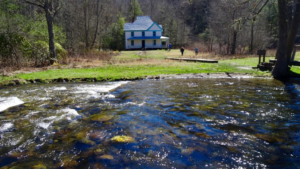
Caldwell House
Palmer Creek
Balsam Mtn. has some big trees
Get up and head out early up the trail to meet the remainder of the Balsam Mtn. TR. This easy ridge walk has some great big trees and views along it’s length, crossing under Luftee and Thermo Knobs that are probably worth a side trip to one day. Soon, you cross under Mt. Yonagusta on your left before meeting up with the A.T, make that right and head north on this legendary stretch. I have heard that this is the most remote section of the Appalachian Trail, far away from any road. With my guiding job and past trips, I have had the pleasure of hiking this section several times and it never disappoints me. Begin your well graded climb to the shoulder of Mt.Guyot (the second highest mountain in the Smokies) as the views and scenery improves on the lush northwest facing slopes where the carpet moss is elbow deep in spots. Make a short decent to a marshy spring area before climbing slowly again to the shoulder of Old Black. Next, you quickly drop to Deer Creek Gap that features a old helipad with awesome views out to the magnificent NC side of the Park. Following the high ridge beyond to the highest point and look for Mt. Sterling’s Lookout Tower and think about how it was only a couple of days ago that you were near that area. This Gap is surely in my top 5 favorite places to take a long break and bask in the goodness that is the Smoky Mountains. Continue onward as you pass an old plane wreck (look for parts on the right of the trail) to Yellow Creek Gap and make that Left on Snake Den TR. Pass by the Maddron Bald TR. and continue downwards as views of the Cosby Canyon open up. Enjoy the views of Douglas Lake and English Mtn. from random viewpoints along the way. Crossing a gang of creeks here with nice cascades before meeting a branch with a long footbridge. A flash flood came rushing down from high here one year, take a minute or two to observe the random boulder stacks and piled up logs and think about how it must have been like to stand here on that faithful day. Continue on as the Trail becomes a road and then take the Cosby Horse TR. back to the Low Gap TR. and make a left back to your rig. Go to Big Bear Pizza and score yourself a pie, you earned it!
Balsam Mtn. viewpoint
Cruising up by Mt. Guyot
Some little saplings along Old Black
Near Deer Creek Gap
Deer Creek Gap
Near Inadu Knob
The top of Snake Den Ridge, doesn’t look to scary to me?
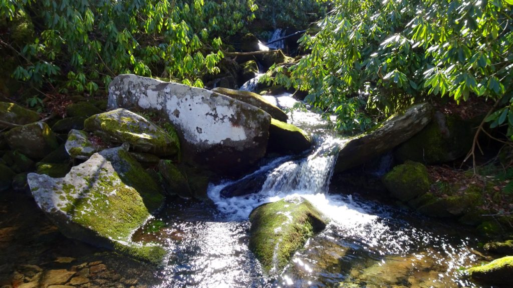
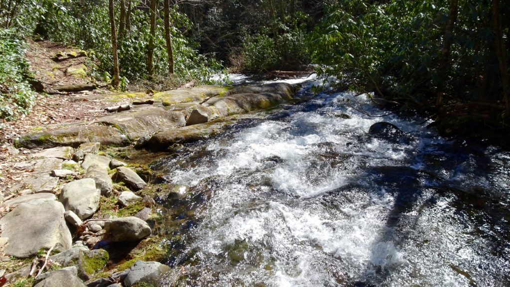
Nice cascade near Cosby Campground