Momentous Adventures: Hangover Lead and Jeffery Hell Mtns. Loop (Part 1 Hangover to the Bald River)
Staring down south at a sea of mountains from Mt. Sterling this past summer, I wanted to see more. This winter I have been sinking my teeth into the vast Cherokee and Nantahala National Forest’s trail system. This 81.5 mile trip takes you to a grip of iconic spots out there like Stratton Bald, Citico, Eagle and Bald River drainages then high on the BMT surveying your progress. Word to the wise, this is not the Smokies. These trails are rougher and less maintained than those in the Park, offering few bridges and many challenging crossings in the process, The reward comes in the likes of more isolation, epic locations and super scenic camps nestled in amazing valleys, high on ridge lines and tucked away in protected gaps along your route. Make sure you pick up the questionably useful National Geographic Map for the area and study the trail numbers for the route. Notice that many of the milages are missing from the key and, as I found along the way, a lot of the routes and water sources were also not right or updated? Don’t worry, I will update you instead. Now that your informed, here is the skinny on the loop.
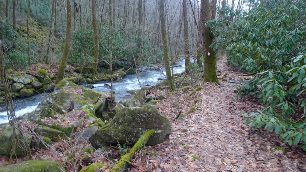
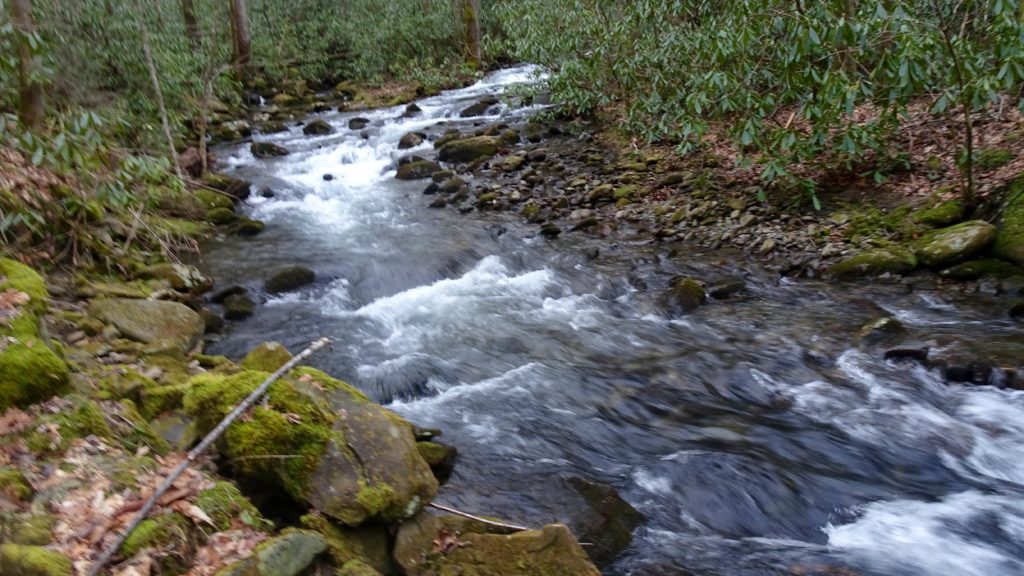
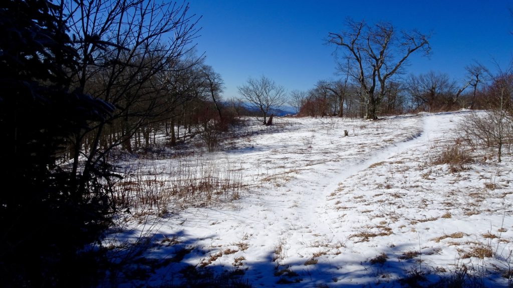
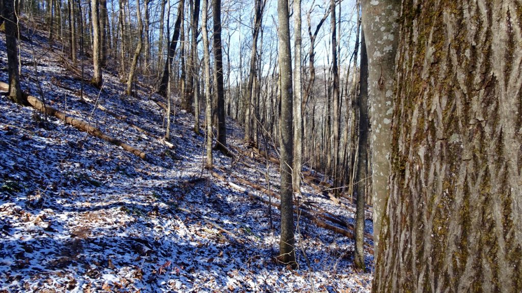
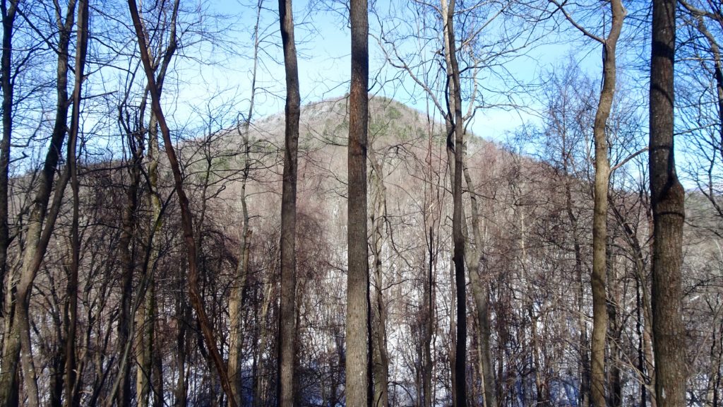
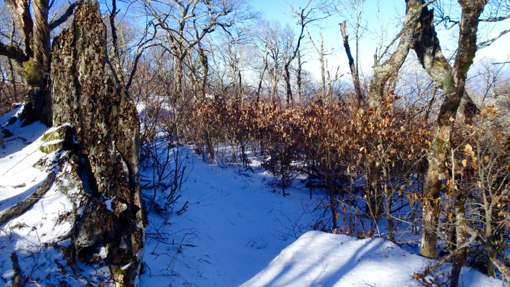
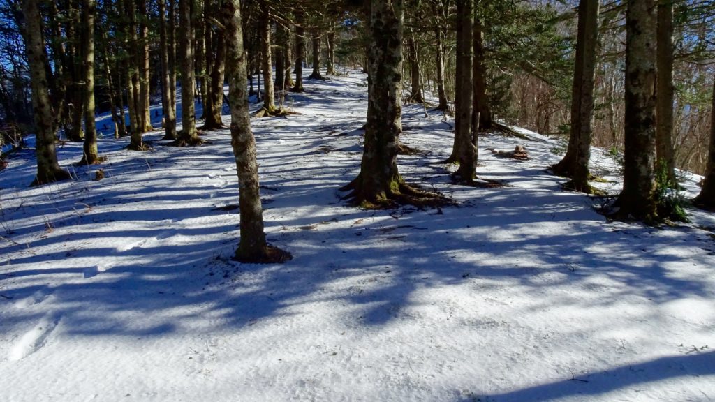
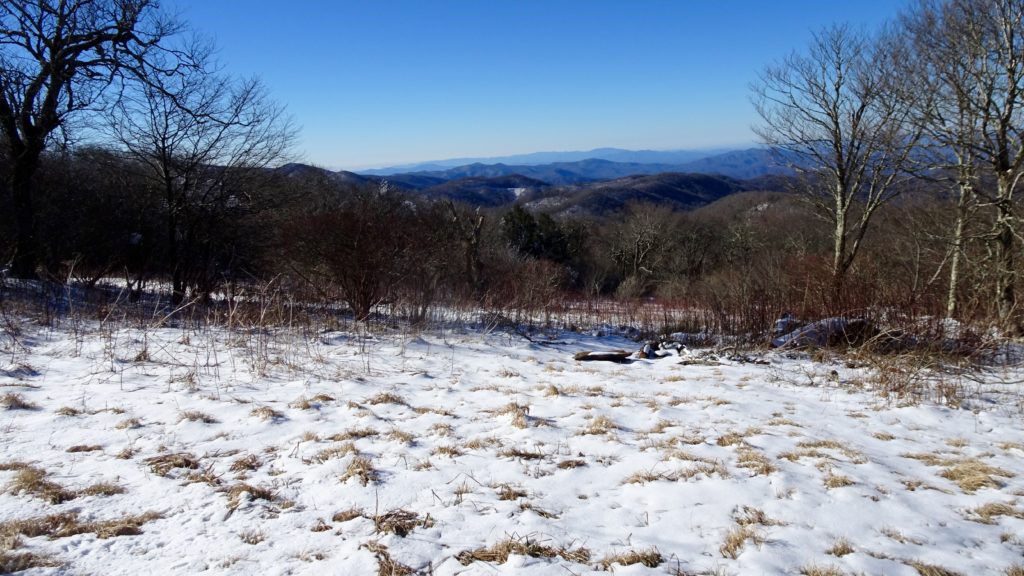
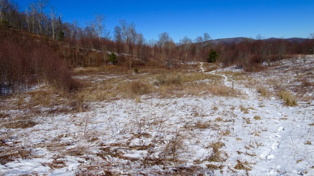
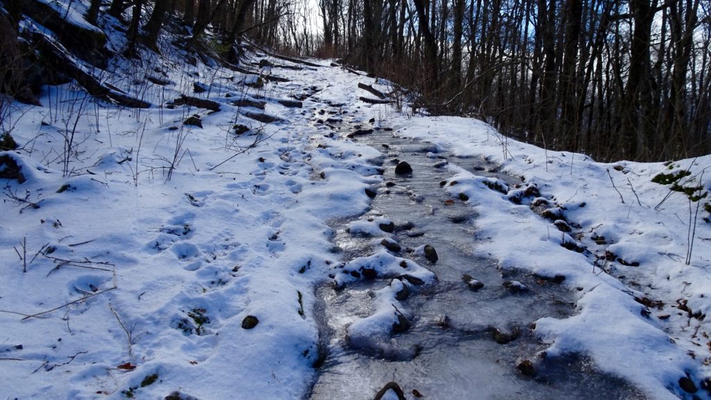
Start out by driving to the TH at Magazine Branch, a little unmarked pull off on the far side of Cheoah Dam off S. 129. Hike on the old road for about a half mile before reaching a split for #42 Slickrock Creek and #45 Ike Branch, make that left on Ike. This trail follows the Creek up a semi steep grade to it’s source before Yellowhammer Gap. Enjoy this nice bevel in the trail before making a hard left on #56 Hangover Lead. This steadily climbing path makes short work of the climb, gaining the ridge as the views open up east into the Nantahala and west down to Slickrock Creek Valley and beyond. The roar of this substantial Creek at this elevation is surprising and awe inspiring. A few occasional ups and downs along the Ridge shoot you out for a decent down to Big Fat Gap and a road crossing. You will notice that the map on the sign here does not show #56 meeting up with #54 to Stratton Bald, it does though. Enjoy a few treeless window views of Rock Creek Knob. This conical Mountain reminds me of a forested Eagle Cap in the Wallowa Mountains of Eastern Oregon. The great sights continue to Saddle Tree Gap where you make a right staying on #56 and on the Ridge. Another quick right onto #53 keeps you high as views shift now into the sea of mountains in the interior of the Nantahala Wilderness. I noticed a few healthy springs popping from out the left side of the trail here as I stock up on agua, the map doesn’t show any of these. Continue on as the terrain becomes flatter on top of the Ridge and steeper on the sides of it to an intersection with #55, stay right on #54. This is where the really cool section called Naked Ground begins, a few nice camps are located here in the folds of the ridge. There is also water up here! Located in a fold on the right side of the ridge in a drainage ditch looking pool just before the next intersection. Set up here and enjoy a great sunset before setting in for the night.
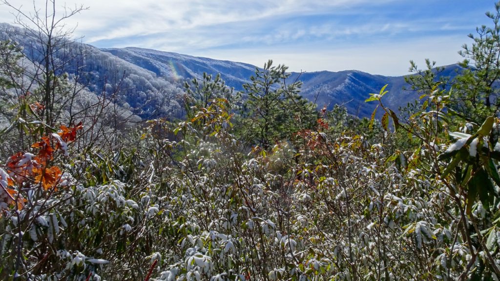
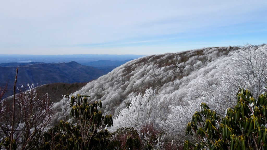
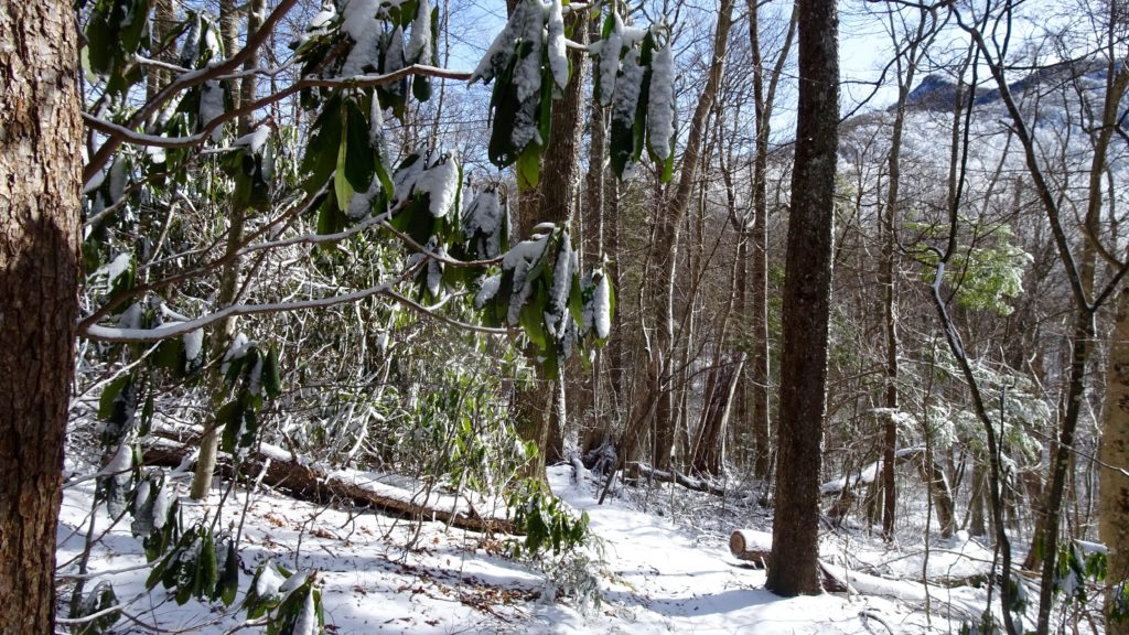
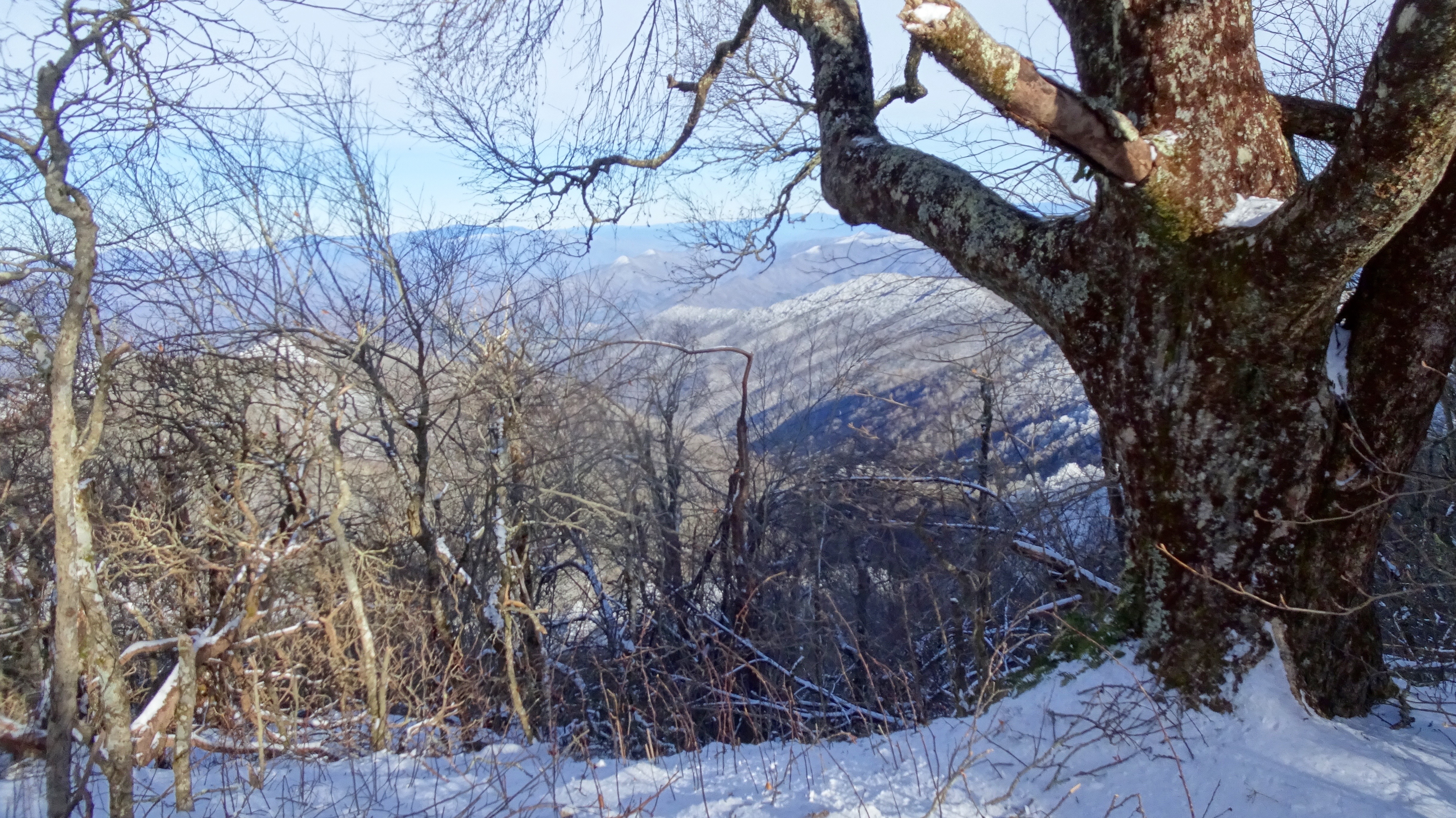
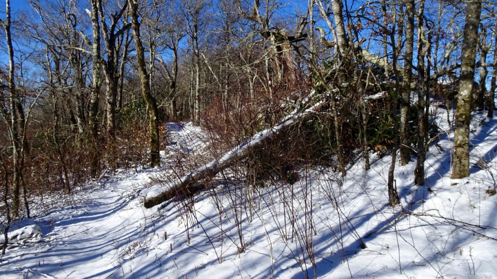
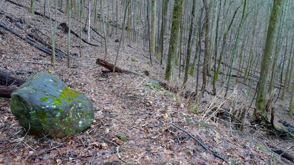
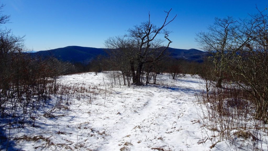
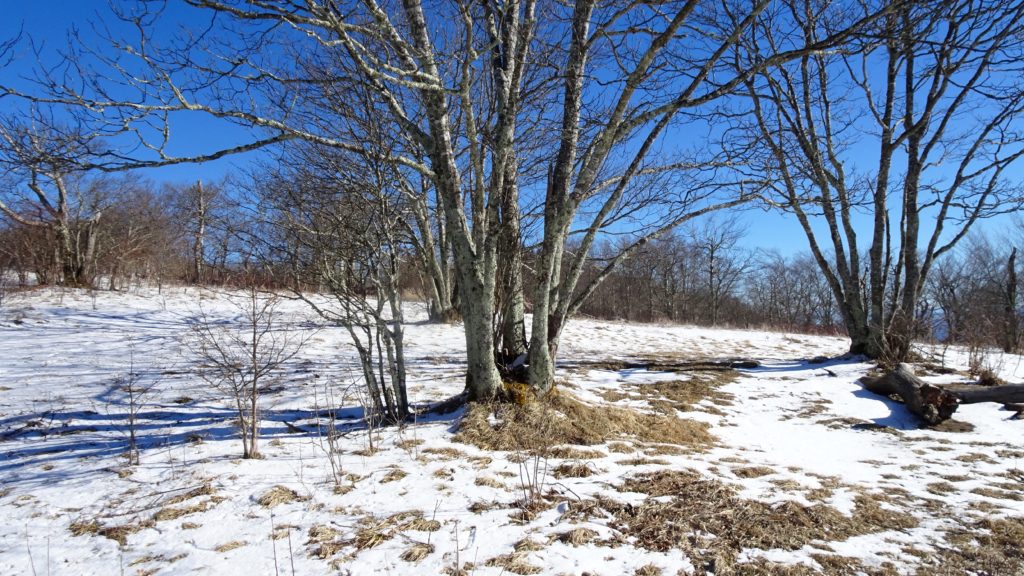
After a nice nights rest on the Ridge, make a right on #54 to Stratton Bald. Climb a mellow grade to the start of this awesome bald as the trees get more spaced out and the heath species grow more plentiful. Crest up to the Bald as the forest opens up and reveals views in all directions and amazing camps tucked in the meadows. Windswept trees, cozy open pockets invite exploration or at least a nice lunch spot. This is definitely my favorite Bald that I have visited here in the Southeast, I’ll be back! Also notice that as you start coming down from the crown of the Bald, there is a nice water source again complete with a pipe. Once again, not a hint of a spring exists on the Map at all. Hit the old BMT #2 intersection and make that left contouring the side of Strawberry Knob. Start your decent to Beech Gap and HWY 143 where the trail crosses the road and back into the forest. Continue along the trail as it periodically goes over the the Road and up and down small gaps along the way. Say goodbye to the Road at Mud Gap then traverse Little Haw Knob and down through Whigg Meadow. Continue along this trail/old Road #40892 before leaving the roadbed to start a decent down to Sycamore Creek and ultimately, the Bald River. As the ups and downs of the day have tired you out, find a great camp where the trail hits the Creek proper and makes a sharp right. Here you see a beaten old sign telling you are on Sycamore Creek, go past the sign and find your sleeping arrangements where four steeply descending creeks leak into the Sycamore.
After a really great night’s sleep, start on down Sycamore Creek. Along the way you will cross several small creeks before entering the lovely Kirkland Cove area where several nice camps can be found. Continue down to the Tellico Fish Hatchery and Road and cross a bridge over the River by Pleasant Field where you can throw out some trash and use a proper bathroom if you like. Follow the Road slightly uphill right past the Bridge and hop back on a trail as the BMT continues on. Scoot on down the trail as it descends to a neat gap between Maple Camp and Sugar Mountain Leads, Sugar Mtn. hangs above. Keep on dropping as you join and eventually cross Rd. 40921. The trail makes a couple of short switchback before dropping down to a small unnamed branch. Now you notice that you can hear a relatively large stream (Byron Branch) down below. Pass some steep rock cliff on your left before dropping down to Bryson and the elusive Bald River TR. #180. You are now about halfway done with the Loop. Stop for a second to relive all the great scenery you have seen before continuing down the Upper Bald and more adventure in the days to come!