Momentous Adventures: Hangover Lead to Jeffrey Hell Mtns. Loop (Part 2-Bald River to Magazine)
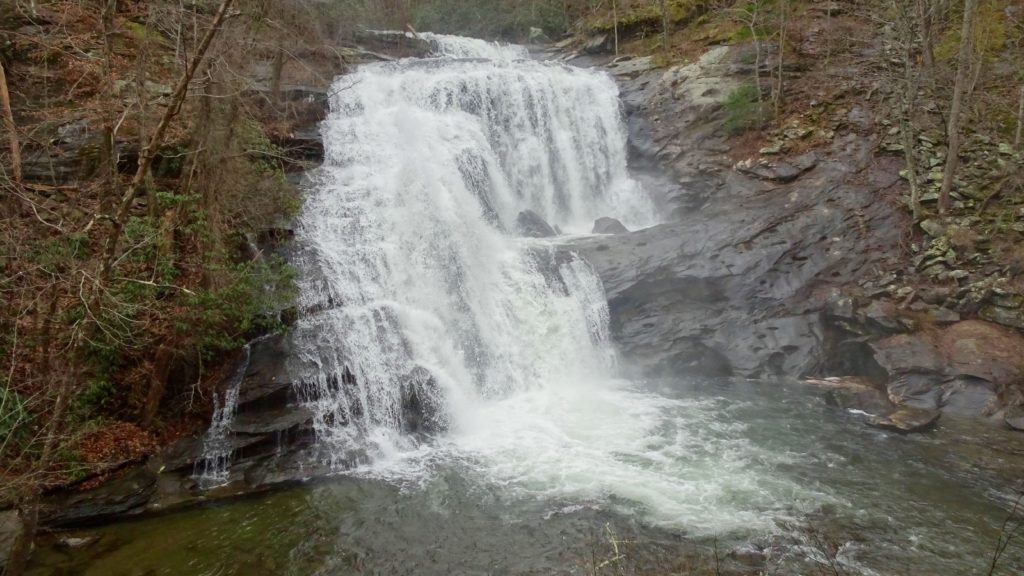
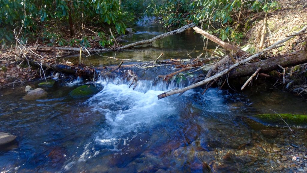
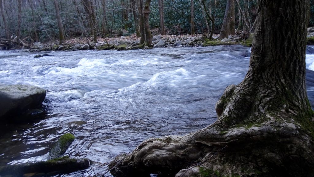
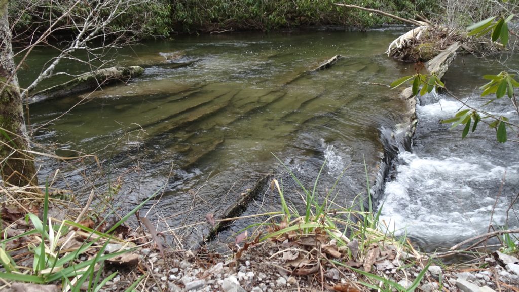
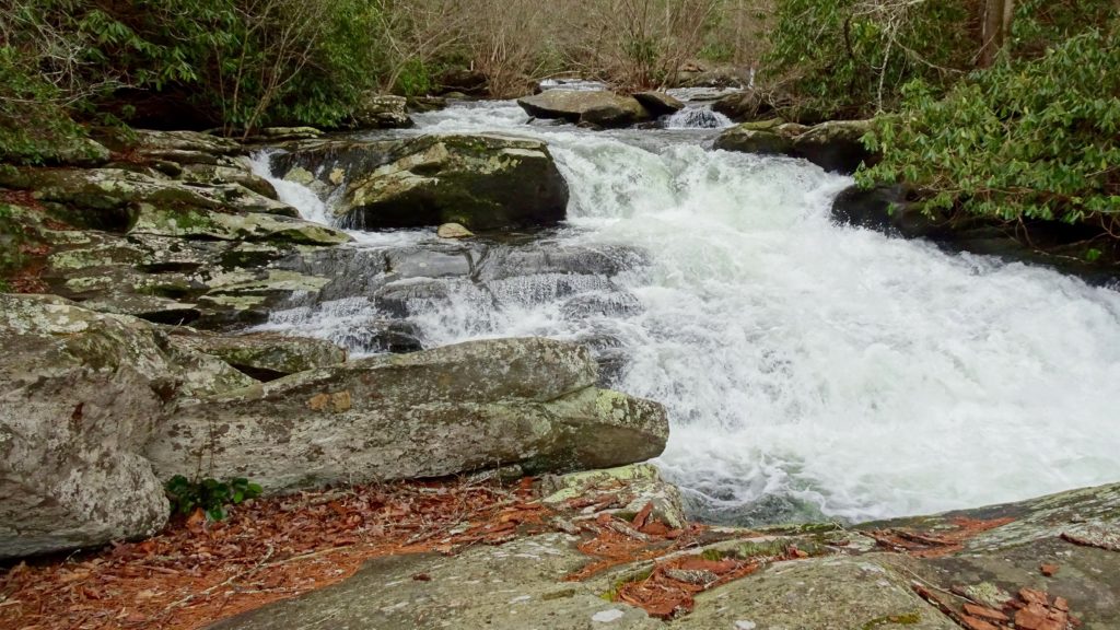
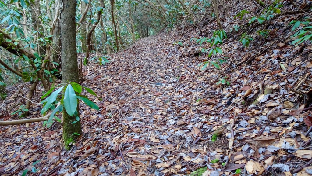
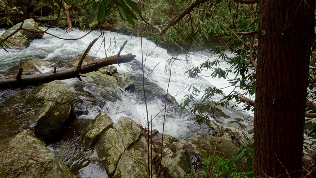
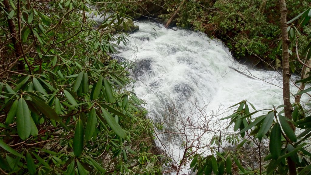
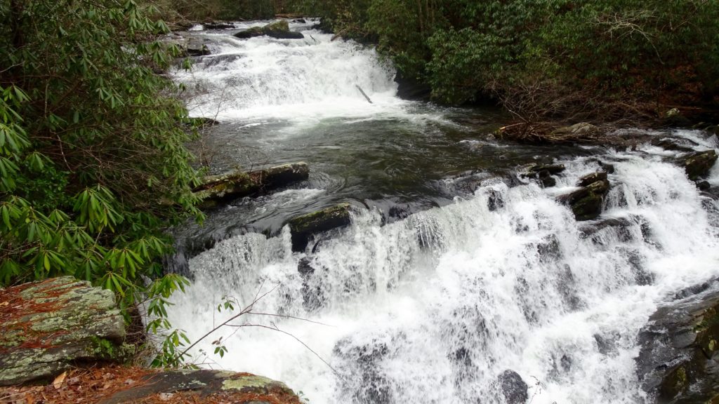
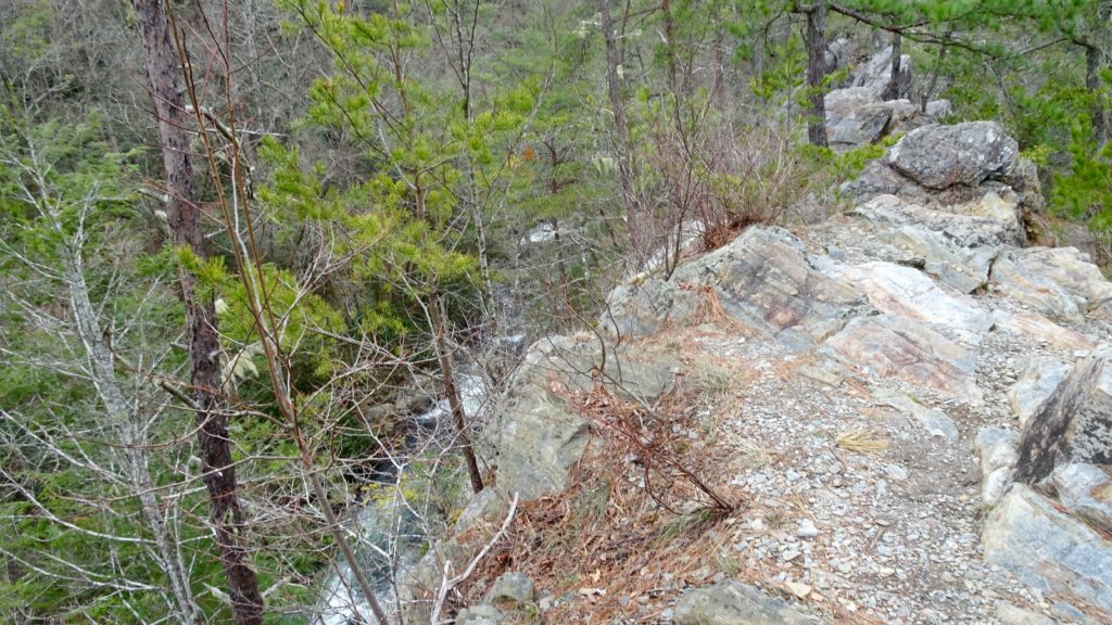
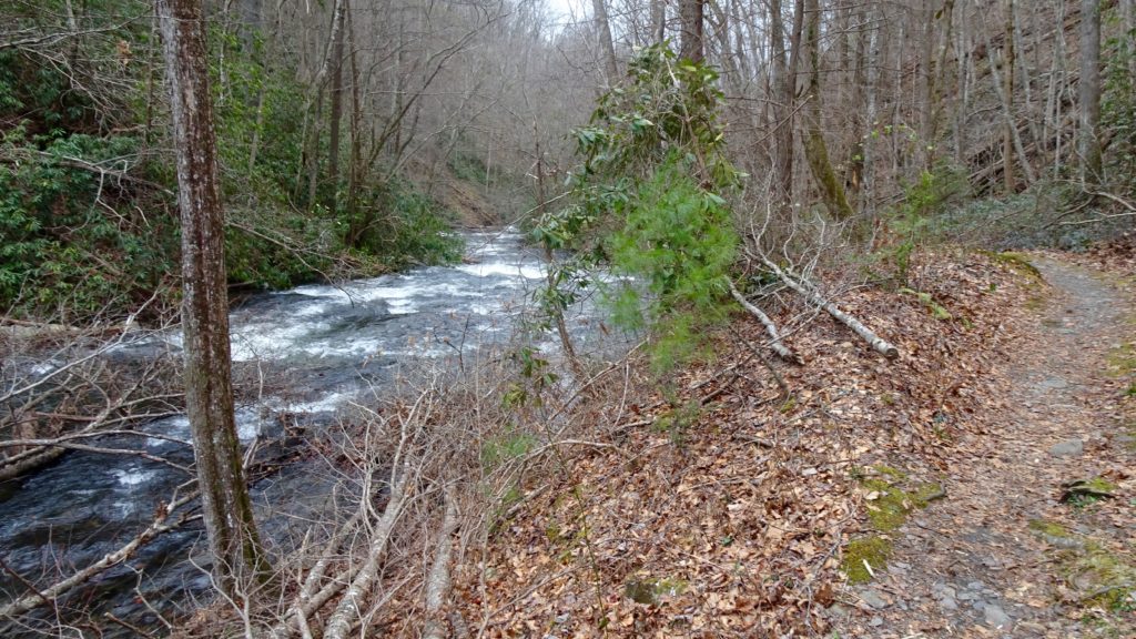
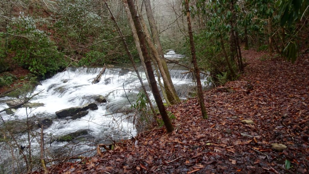
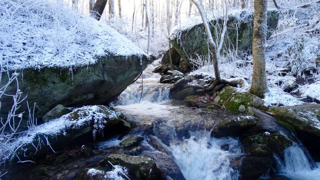
Continue on the BMT as it rolls downhill to the Bald River. When you see the Bryson Banch below you, the intersection for the is coming in hot. Make that right onto TR #180 and join the Bald River when it is appears to be a small creek. This fairly level Trail through the upper section of the River is fairly flat, but has some nice small cascades along it’s way. After hugging Bald’s shore for a couple of miles, the Trail hops over the waterway a couple of times before getting to the Bald River Road, make a left to head to the lower section of the Trail. After a couple of miles of easy road walking, make a sharp right on TR. #88. It is apparent within a few feet of this trail that has been maintained pristinely and well loved. The way is free of blowdowns and washouts, it even has the foliage clipped off the corridor! Amazing camps are all along this river, usually near some cascades or above sections with dramatic topography. If you have the time, I wholeheartedly recommend staying on this great Trail if you can. I wanted to bust out the next road walk, so I kept going. The best camps are at the end of the trail by Papaw Cove and beyond as the River at this point is a rolling torrent with super nice waterfalls with big boulders abound. Start your steep decent to the road as you drop down next to Bald River Falls, a most amazing sight. Make a right on the Tellico River Rd. and take it to dirt road #217 and make that left. Go to your third TH on your left #92, located in Mcnabb’s private camp. The only used camp spot I found on this Trail was right in the beginning of it, the rest are really primitive. Personally, it was too close to the road for me and I wanted to get a couple of more miles in. Cross the stream about 6 times and find a camp next to the Creek in a nice flat section.
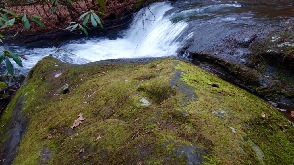
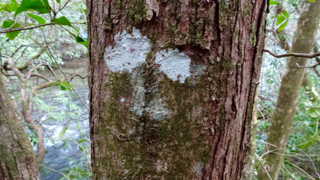
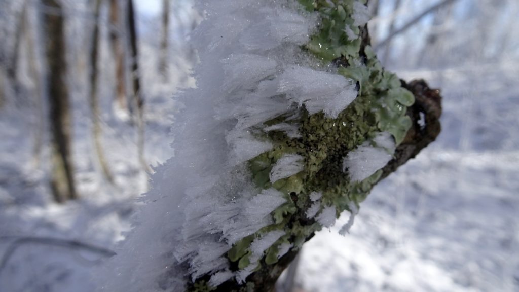
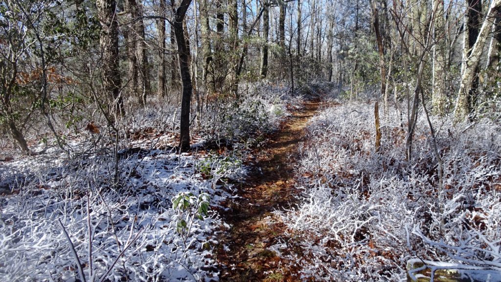
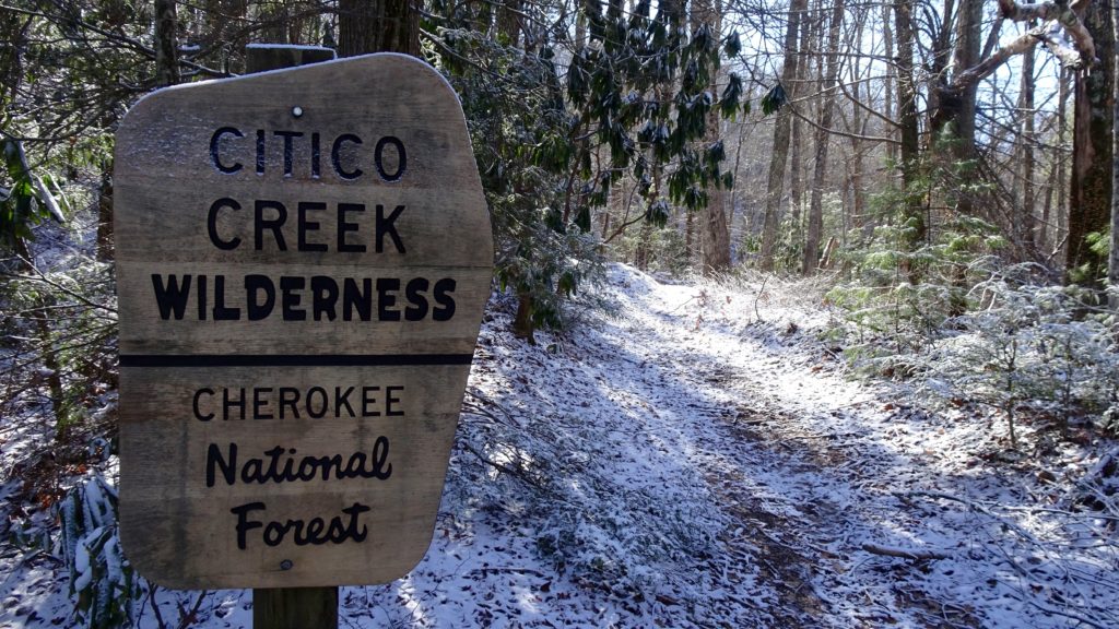
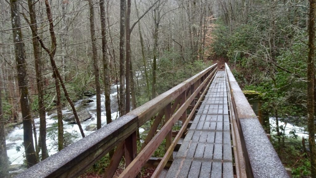
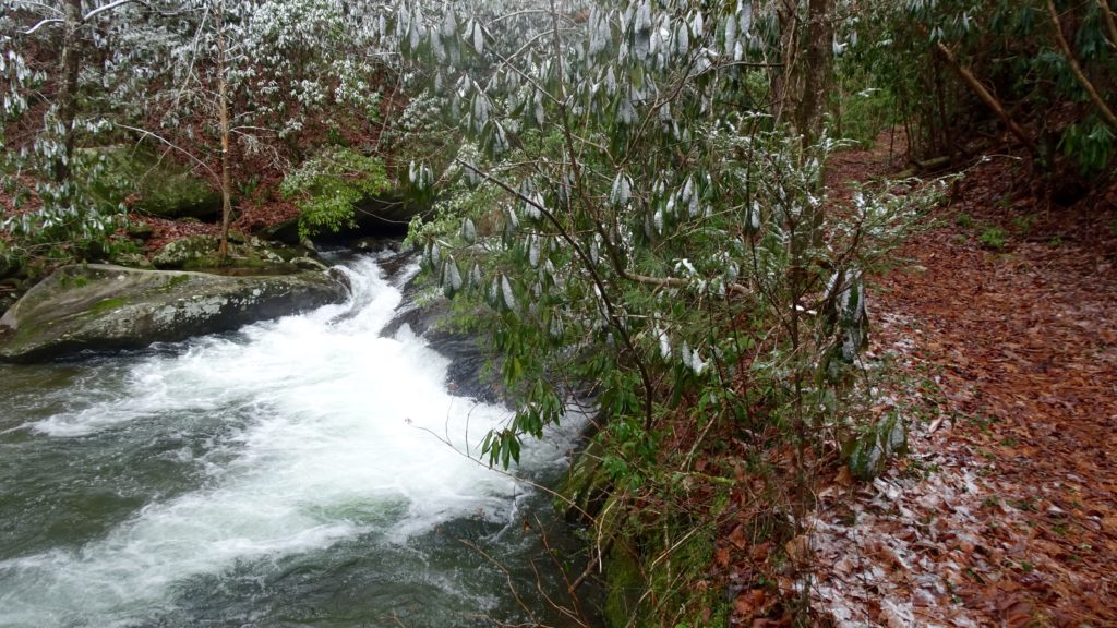
After a good dumping of rain, wake up and enjoy a nice cup of joe and some cheesy grits, yummmm. Today’s trails are on the more challenging side in this deep wilderness area the Citico. Cross Mcnabb several more times as the trail gets increasing close to the Creek itself and subsequently, more washed out. The last couple of miles, start climbing as the creek gets closer to it’s source, Sassafras Ridge. This portion of the tread is particularly jacked up with lots of downed trees and roadie tangles. The last steep section breaks away from the Creek on it’s left and switchbacks up to the Ridge/Road. Emerge of the woods and look for a small pullout just to the right. Go to the end of the small parking area and located the remains of this TH sign, it looks lie someone took an axe or perhaps some light explosives to it. Referening back to your map, you learn that this is indeed the Eagle Branch TR #91 and begin your slow decent following the waterway on your right. The steep topography in this section reveals some lovely cascades. Keep your eyes peeled for some pink flagging getting you through some particularly neglected sections of this fine river Trail. The way hops over the Creek several times as it makes it’s way down to the valley proper where you make two big river crossings. One is of Eagle Branch, which was a little about 2.5 to 3 ft. deep. The second is the South Fork Citico which was about 3 to 3.5 ft. deep and much faster. There was some snow up higher, warmer temps that day and rain the night before which I am sure made the crossings higher than normal. I would still be ready for a deep crossing at any time of year and I would be apprehensive if there was a big rainstorm in the mix. With those sketchy crossings behind you, jump on TR #105 on the left, which looks more like a highway than a trail comparing the two. Take this Trail down for a short stretch passing #97 which is on the other side of the Citico, now a raging torrent. Keep on keeping on a short bit until TR #98, it has a bridge. Cross on over the main fork of the Citico and continue on as it hugs the North Fork of this mighty Stream upstream. From the Creek bottom, the trail begins to ascend into nice open forest bowls as you cross some creeks and climb back up to the BMT. When you find the Creek trailing off to the right in a few miles, find a nice camp here for the night near the intersection with TR #149.
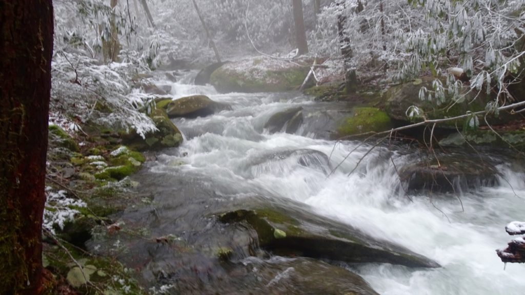
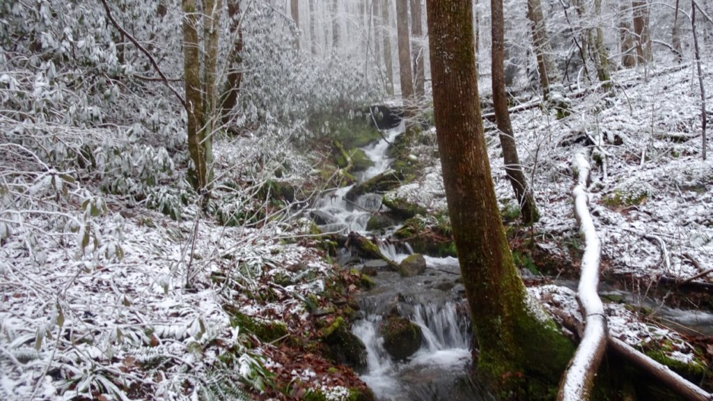
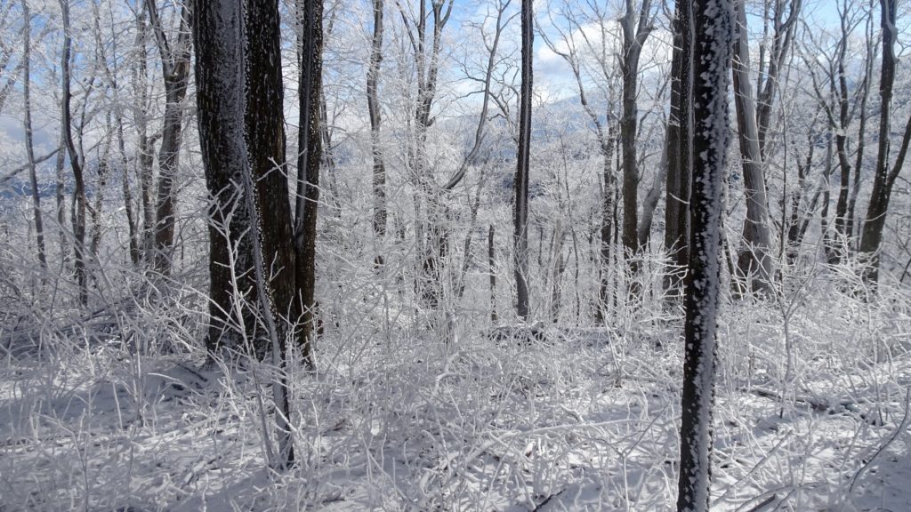
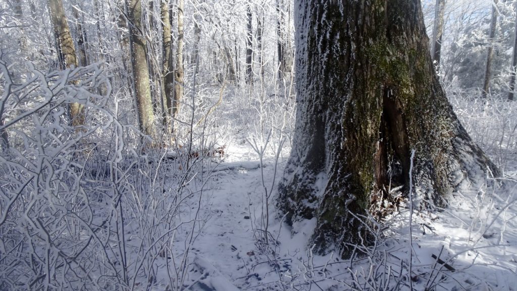
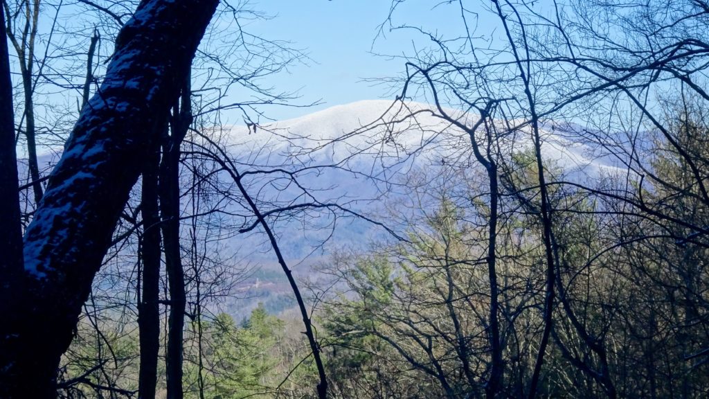
After a chilly night and some restful slumber, finish the rest of the climb off to the obvious gap. Top out at Cherry Log Gap and make a left onto the BMT as the trail climbs up to Chestnut Knob and great views across to Hangover Lead, down to Slickrock Creek and the rest of the Joyce Kilmer N.F. Sigh in relief that you have completed the more “wilderness” trails of this demanding loop and enjoy the bomber views, you earned it! The trail rides up and down gently from gap to mountainside very gracefully in this section. After reaching Big Fodderstack, stay on the BMT as the trail begins to drop down slowly as you cruise past TR #99, #96 and #84 leading who knows where. Despite the rough state of the Citico Trails that I hiked, I found myself afterwards wanting to explore more of this area, to see deeper wilderness! After Little Fodderstack, the way begins to really shoot downhill out of the snow and into the sunshine down at Farr Gap. Make a arching right at the Road and start your decent past the corner of Stiffknee Top heading down to Little Slickrock Creek. This section of the trail is very nice as you follow this delightful Creek as it bubbles and hops downslope. Soon you reach a crossing with Slickrock Creek, your last big stream crossing. There are lots of great camp spots abound on this section, if you have some time, you should definitely plan a night here in one of the amazing forest cubbies. Following signs for TR #45 Ike Branch, continue up and over Yellowhammer Gap again and down to Fontana. Get back to your car and pop open your reward beer, you earned this one!