Momentous Adventures-The Great Goat Rocks Figure 8 Loop (part 1)
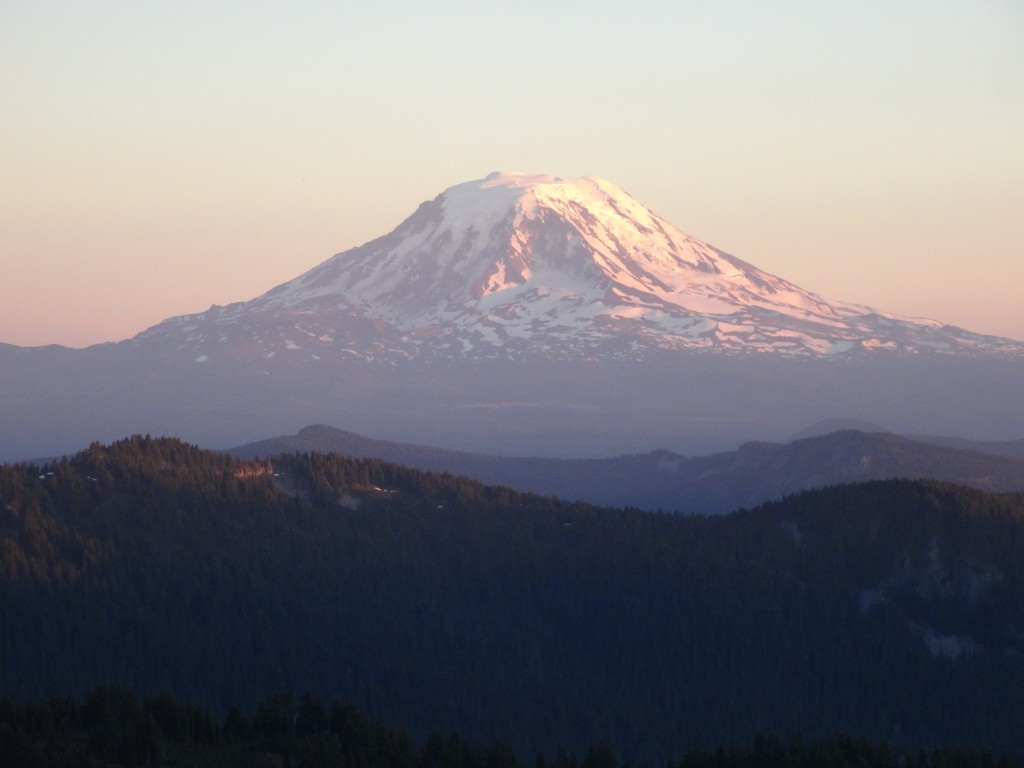
The Goat Rocks has always held a air of mystery for me. Are these broken peaks the remnants of a once great Cascade peak or a collection of smaller mountains, like the Sisters? Anyway, I struck out across this shattered landscape to explore the Crest and some less traveled pockets of this mighty wilderness area on a 68 mile loop that I came up with drooling over maps. This loop crosses through 3 wilderness areas taking high ridges, crossing rivers and through the meadows of the illusive Goat Rocks. This loop is not for the faint of heart or the novice hiker and involves some light route finding, lots of sun and exposure to heights. Part one of this trip takes you to Walupt Lake in the southern part of range where you pick up the Klickitat Loop 7A by walking back on the road a mile to Walupt Lake Horse Camp TH. This strange trail climbs up to through forest to the Coleman Weedpatch TH before dropping down to a crossing of the Cispus River on a log jam down stream. It then crosses a old logging roads 3 times before utilizing Rd. 2150 as the trail itself. When you come up to this road, make a right and then a quick left on a brushy Rd/trail following random pink flagging. Finally, it comes out to a more traveled road that you follow up a short bit before ducking off to the right at a busted down metal sign that tells you it is 7A and you enter back into the brush before ending near the TH for Snowgrass Flats. I feel like it is best to get the confusing parts of treks out of the way first if you can, so you don’t have to figure it out when you are weary after a long trip.
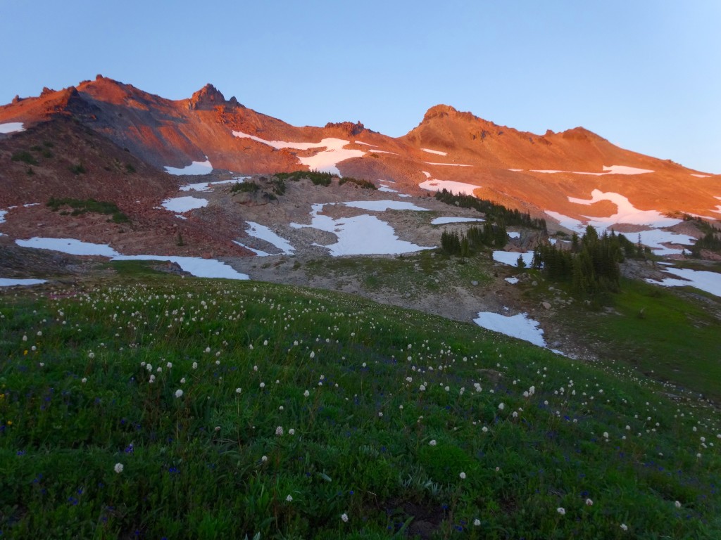
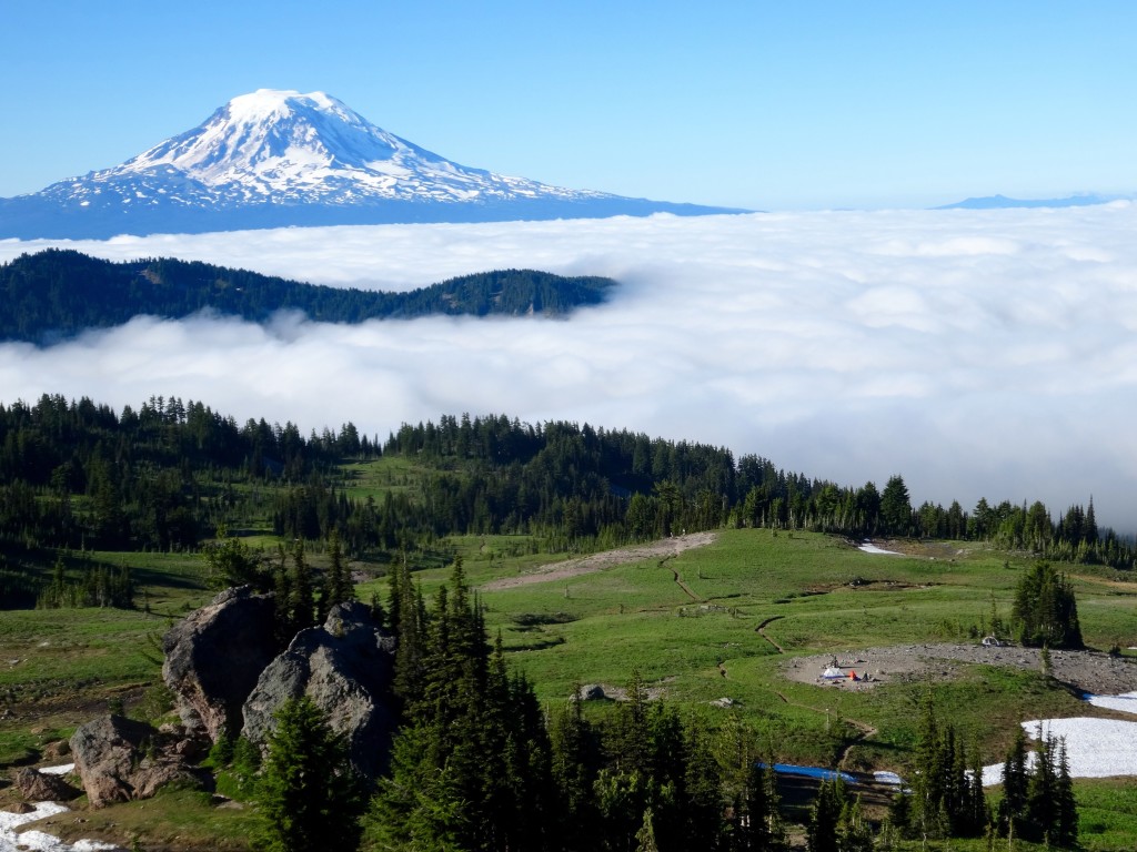
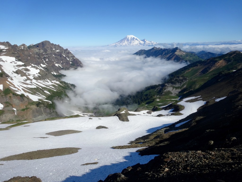
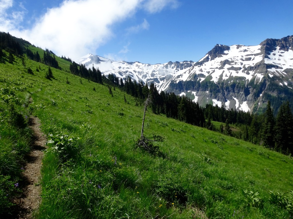
Finally on a good trail, you begin a nice slow accent to Snowgrass Flats on TR 96. Stay left past Bypass TR 97 and enter into the fabulous lower meadows where camp spots are plentiful and overused. Climb past these beat spots to an intersection with the PCT and make a left to travel north of this legendary stretch. The upper part of the Flats is where it is at, with streams cascading down all around you and phenomenal camps above and below the trail. Pick out a good spot in the small tree clusters before heading upwards into the alpine expanses where water and camps are non- existent. Begin in the morning climbing higher onto the Crest where open views of Goat Lake and Ridge will blow your mind. Cross some short snowfields in a shady bowl before entering the illusive “Knife’s Edge” section. This rocky portion of the PCT traverses up and around small alpine knobs with wonderful nooks of flowers before hitting the skinnyish ridge section. If you are deathly afraid of heights, take the horse route, but if you are ok with a little exposure on a wide trail, take the PCT proper. It is hard to articulate here how epic of an experience it is to walk on the actual Crest of the Cascades, you just have to see it for yourself! Drop down to Egg Butte at Elk Pass and make a left onto Coyote TR 79.
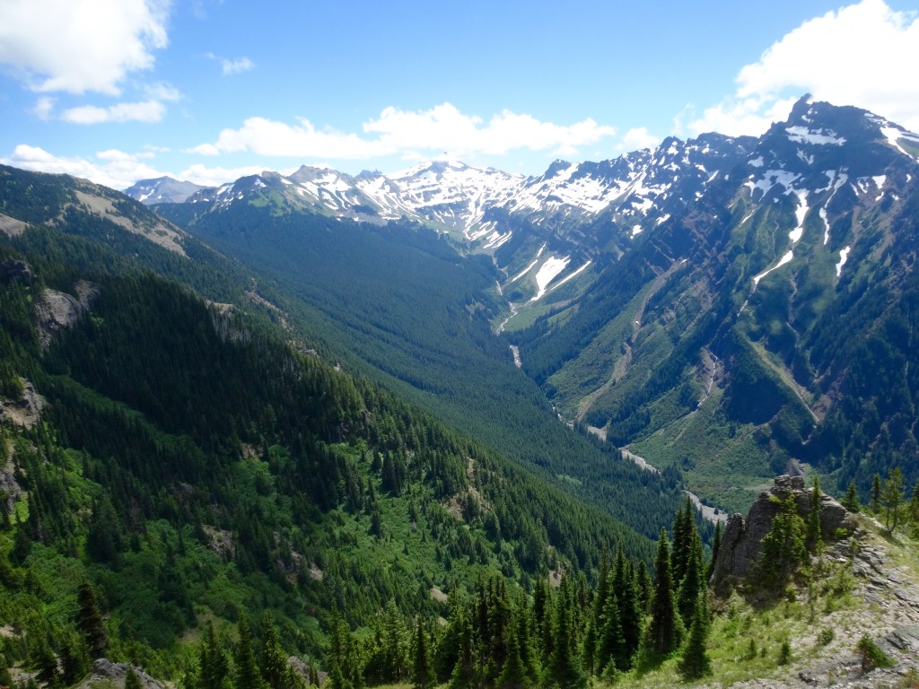
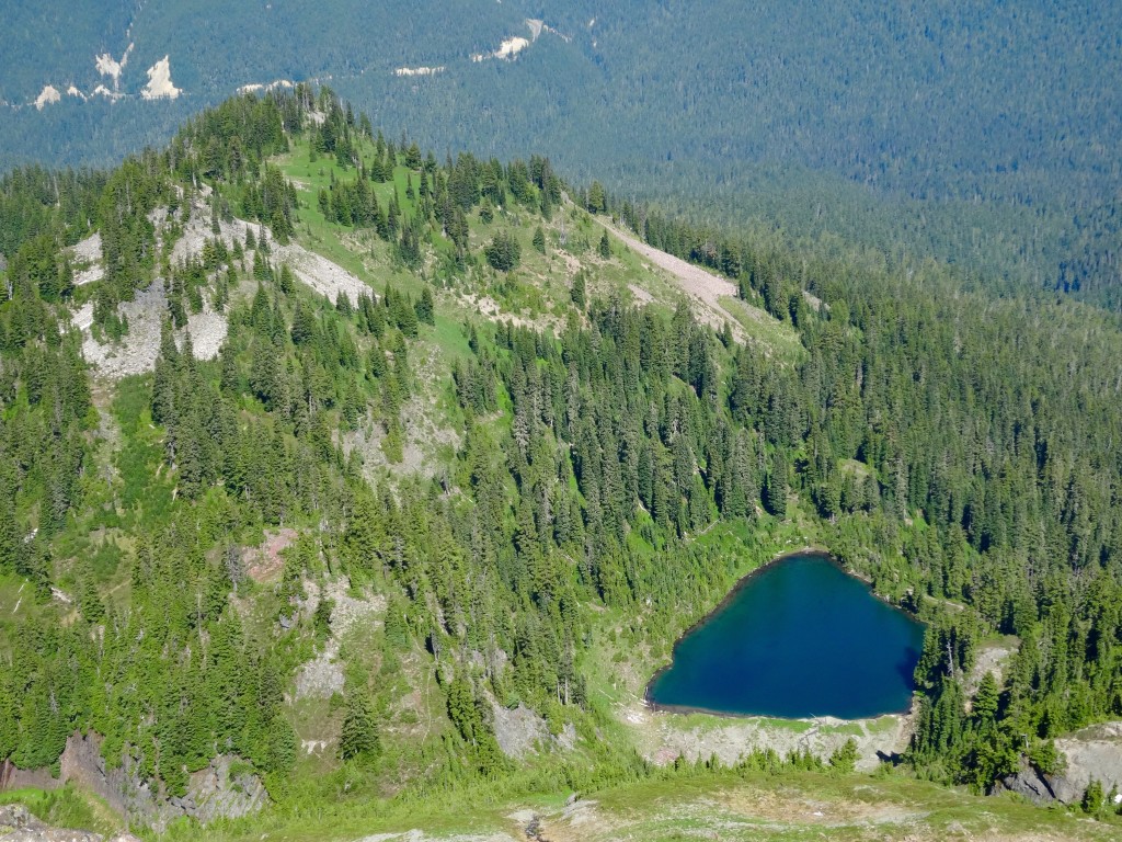
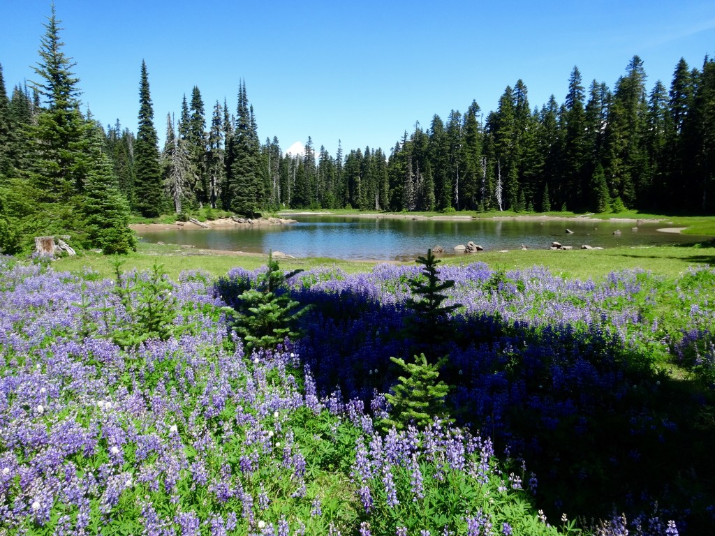
This trail follows miles of meadows and rocky expanses for 6.4 delightful miles as it climbs and dips trying to stay as close to the top of Coyote Ridge as humanly possible. Finally, it ends at TR 78 where you make a right to start a steady climb up to beautiful Lost Lake and beyond. After soaking in the lake’s scenery, begin a climb up through burned forest to the sight of a old lookout tower in which I dubbed “Bluff Pass”. Stay right avoiding Bluff Lake TR 65 and drop down into a open flowery bowl as you gaze down at Coyote Lake that is surrounded by meadows on all sides and tucked into the side of the ridge in a poetic fashion. At last, you enter into the rocky Lost Hat Lake Basin where a great camp spot beacons you at the north end of this green gem. In the morning, drop down into the old growth of the Clear Fork Cowlitz Valley and cross this impressive river downstream on a bouncy logjam and shortly hit Hwy. 12. Emerge from the forest at this unmarked TH and cross the road as you look for a carin midway up the slope that leads you to a 1 mile unmaintained portion that takes you to the Sand Lake TH. Take TR 60 through a burned section before re-entering a airy forest with delightful little ponds abound, make sure you stay right at the ponds before the final climb back to the PCT and aptly Sand Lake. Make a right onto the PCT southbound as it travels through a couple miles of meadows and lakes before hitting Hwy. 12 at White Pass, make another right and head up to the small convenience store at the pass to enjoy some conversation with the thru hikers and a well earned corndog for lunch.

