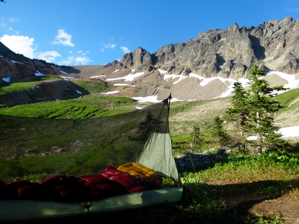
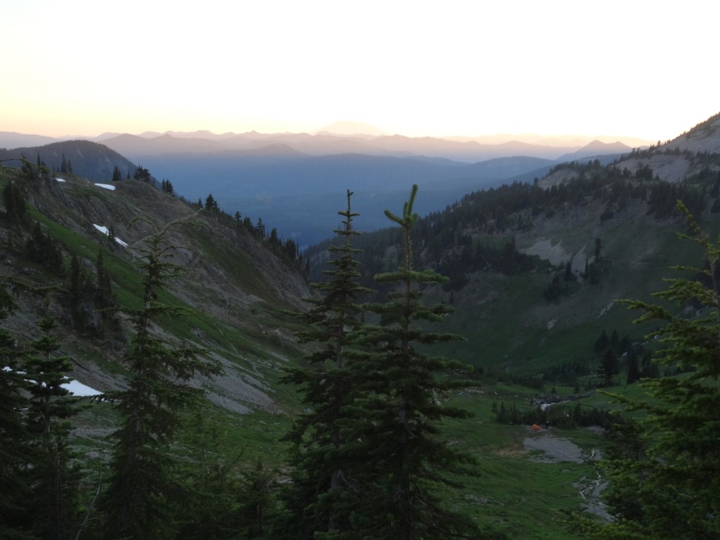
Momentous Adventures-The Great Goat Rocks Figure 8 Loop (part 2)
Traveling along the Goat Rocks Crest is one of the finest ridge top hikes in the Cascades, if not the best! Views extend in all directions of high peaks and down to basins of green off both sides of the Crest. This 68 mile trek will test your route finding skills, endurance and gusto, but will reward you with a life altering experience. Part 1 covered the more remote trails that lead you to White Pass, now all that is left is to hop on the PCT and head south to soak in the scenery and revel in your fortitude. For me, ending a trek with a high perched view is the best, especially using reliably maintained trails like the PCT. You can wander a streamlined tread as you gaze down at the route you came up on, connecting the dots in your head and giving you a greater perspective on your place in this awesome line of mighty volcanos.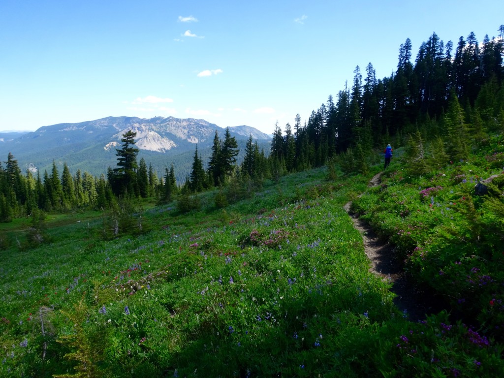
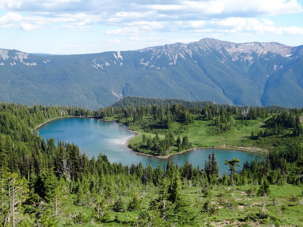
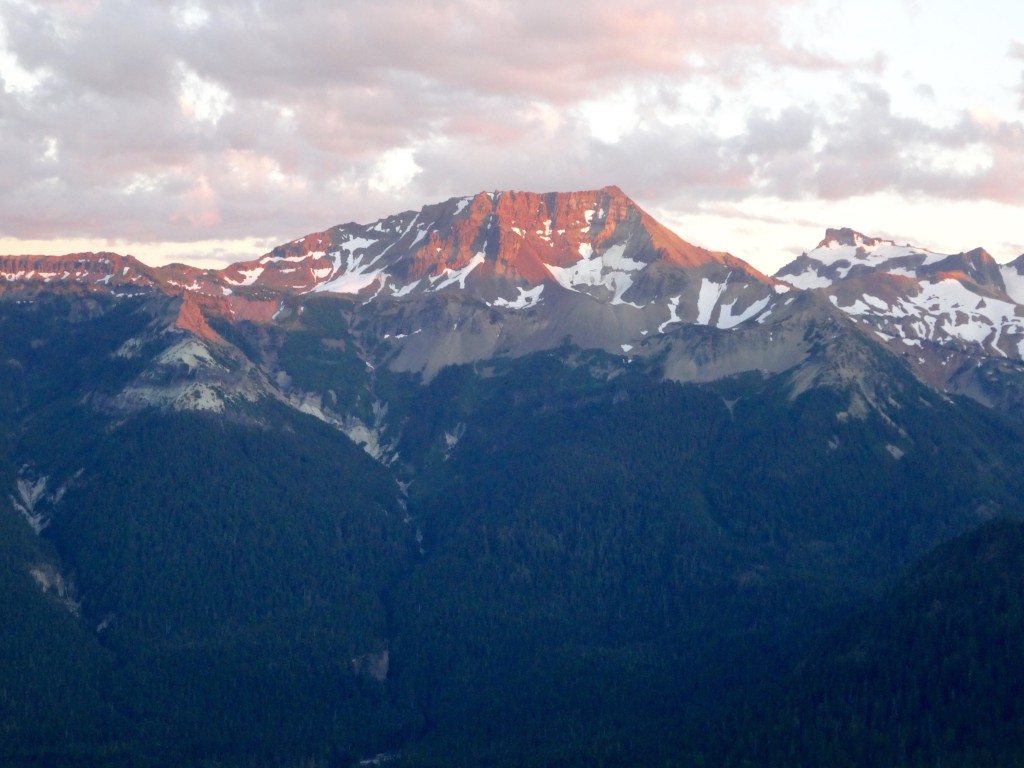
So, start off at the PCT’s trailhead at White Pass and head south. Pass signs for tiny Ginnette Lake on the right and continue a steady climb out of the trees and above a rocky basin to a saddle at 6375ft. A short, but scenic stretch leads you to a viewpoint down to the spectacular Shoe Lake Basin. There is no camping in the Basin, but you have a chance now to bypass the PCT route and head down to the Lake for a dip and a snack. It adds .7 of a mile to the day, but will invigorate any dusty soul and give you more spring in your step. Or skip the Shoe Lake and continue on to Hidden Springs Camp, it is the last good camp spot for the night before heading to higher ground higher on the Crest. Once you make that left onto the Hidden Springs Trail, continue on for a short .3 of a mile before getting to some group and horse camps on your left. Continue on a short bit, over a log and up to a open saddle where a nice spot awaits. Great views southeast include the rugged crags of Bear Creek Mountain, Devils Horns and Tieton Peak that will light up at dusk in a spectacular show of color.
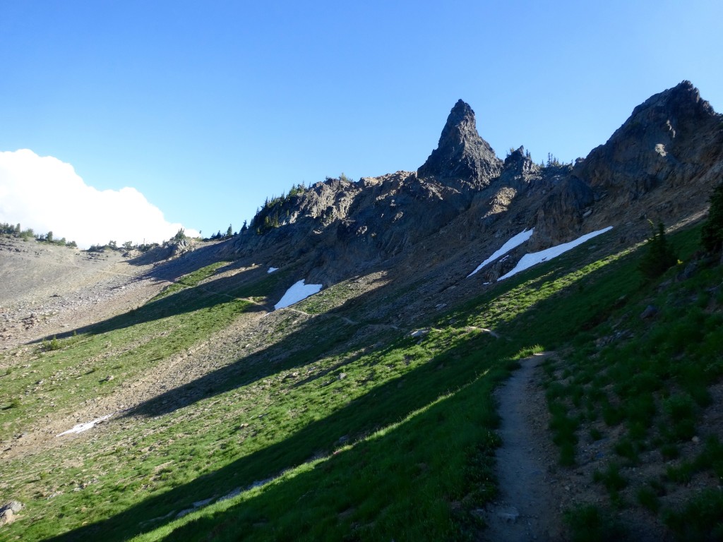
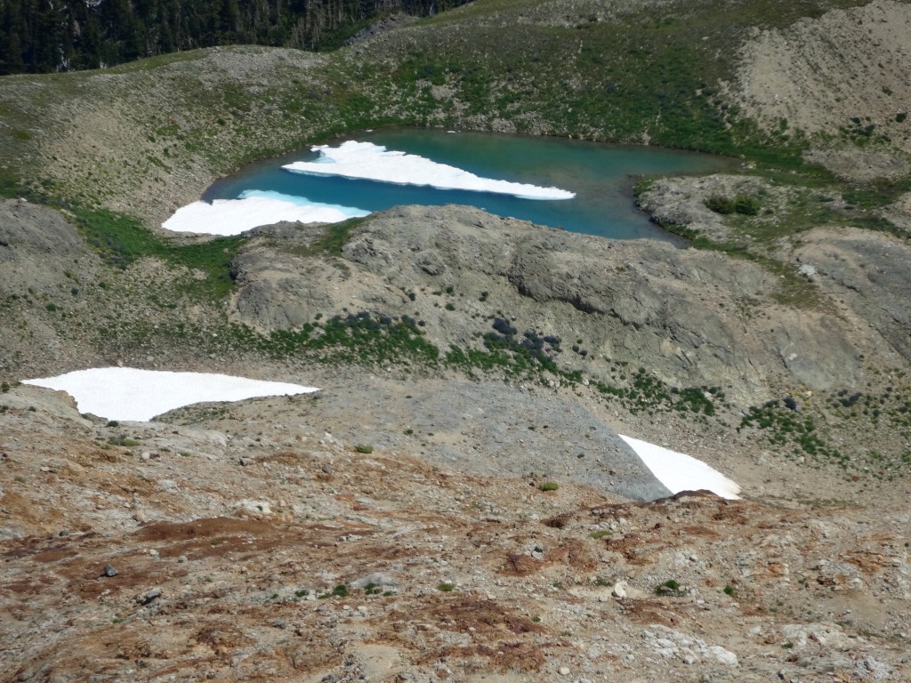
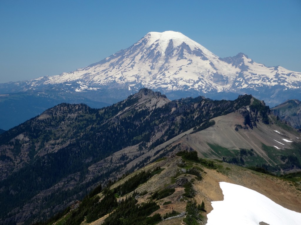
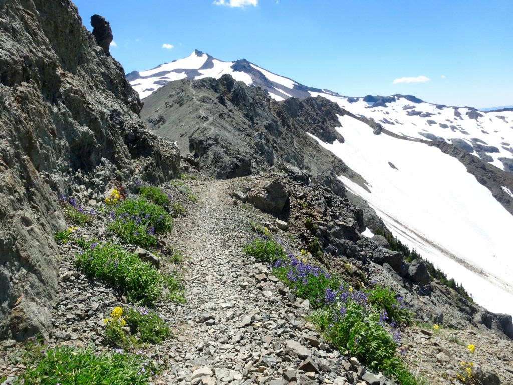
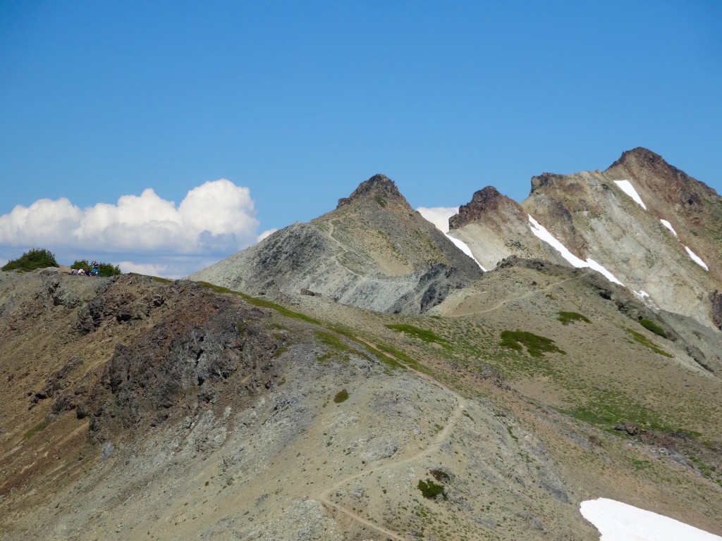
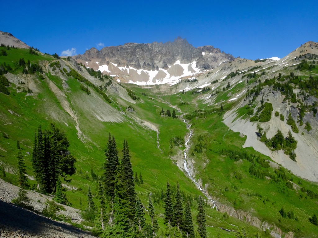
After enjoying a great camp at the Springs, drop down to anticlimactic Tieton Pass and begin the steady climb into upper McCall Basin with it’s open fields of flowers, rocky outcroppings and cascading streams. If you skipped Hidden Springs as a camp, I suggest camping here in one of the many delightful spots in the tree clusters just off the trail. Next climb back up to Elk Pass where you were just a few days before and continue south for the second time along “The Knife”. Look back down the Coyote Ridge Trail and down to Packwood Lake to see exactly how far you have traveled. After that sweet reward, head over this exposed, but safe section of trail along craggy rock gardens and marvel at the tremendous effort it must of took to build this section of trail. Continue on past above Snowgrass Flats and past the intersection that you gained the Crest on and continue south past the Bypass Trail on the PCT to epic Cispus Basin. Now, here you have some wonderful options for a camp depending on how you feel and where you would like to sleep. Once you head past the last intersection, you start passing a sloped meadow on your left below Ives Peak. Here you can take off cross country up this slope into a rocky and flat basin below the Peak, a most impressive and lonely spot. Or, continue on crossing a couple of streams to Cispus Camp in the bottom of the basin where all the streams merge together, either way, you won’t be sorry. In the morning, head through the open meadows and take a right onto the Nannie Ridge Trail past lovely Sheep Lake and along this ridge back to Walupt Lake and your car. Sit down for a spell and let your mind drift back to the amazing scenery you have had the pleasure of walking through the last 5 days and head home a different person.

