Weekend Gem: Big Frog and Jack Loop

YO!
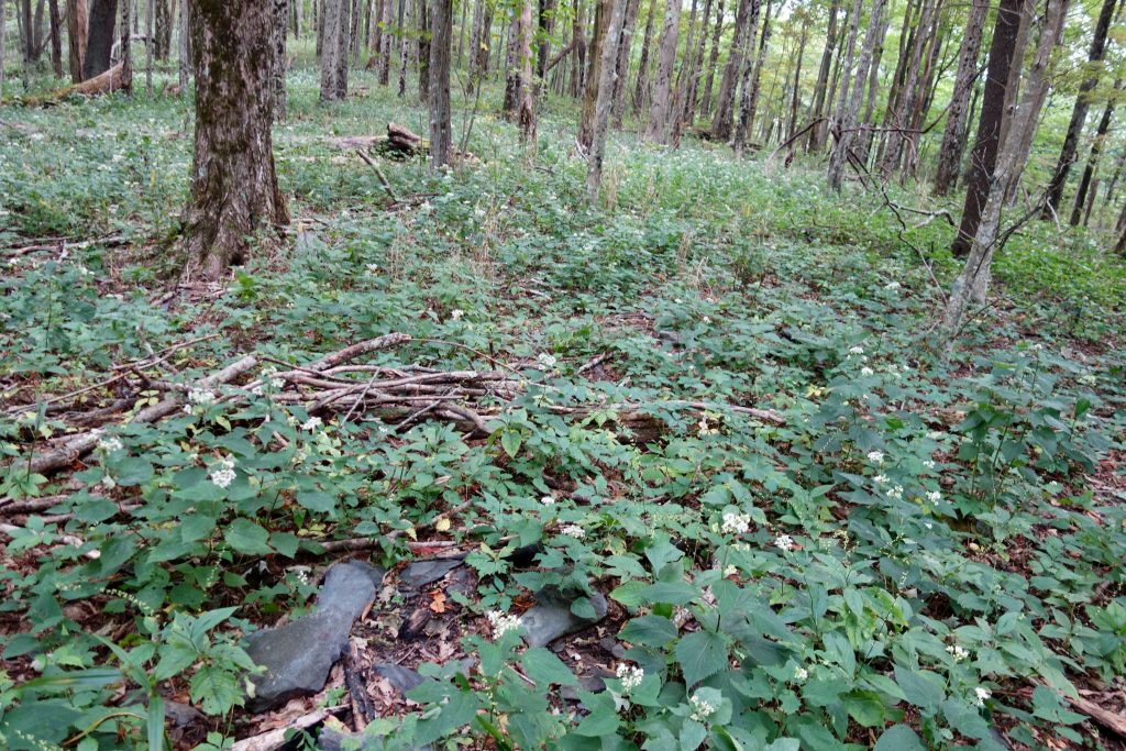
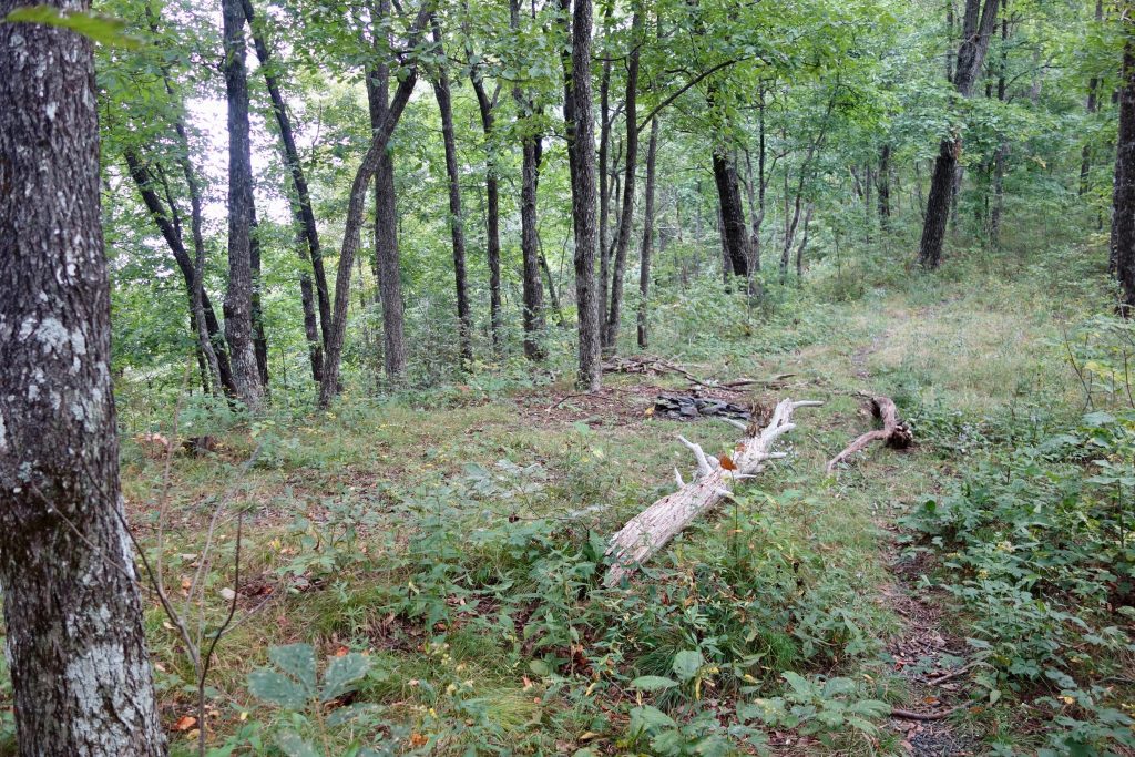
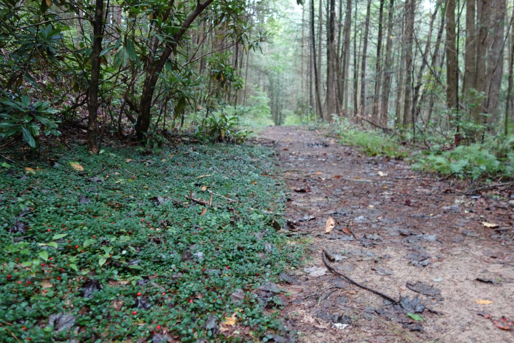
The Cohutta Wilderness in Georgia is the largest wild area in the Southeast, so it has lot’s of trails of all shapes and sizes to explore. Please be aware that you will be doing a lot of river crossings that are easy enough in fair weather, but a nightmare if nasty thunderstorms are present, so check the local forecast before committing to this route. This 27.2 mile loop starts at Dally Gap and takes the well signed Hemp Top TR to the BMT as it makes it’s way meeting at Spanish Oak Gap. Heading north, the BMT is stays relatively flat heading down to Penitentiary Creek TR where you head straight on the ridge at Rockwall Gap. Indian Grave Gap is next (I didn’t see the grave) before the light climb to Hemp Top where the views stretch out across the Cohuttas. More easy ridge walking continues before dropping down to Double Spring Gap where nice camps can be found as well as easy access to water on either side of the ridge. I went in the begining of September and found both of the springs to be flowing quite well. Please keep in mind that there is no camping in most seasons by Jack’s Falls and it’s 14 miles down there anyway so plan to stay on the ridge or hammer out a long day if you plan to camp on Jacks.Here is where the tread changes character. The next 1.8 miles climb quite steeply. Stay left passing the intersection with Licklog Ridge and continue on to Big Frog Mtn. When you get by a demolished sign marking the summit, you are here at camp! Pick out your spot on either side of the pocket meadows that are this lovely mountaintop. Both are winners in my option!
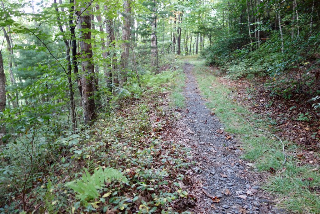
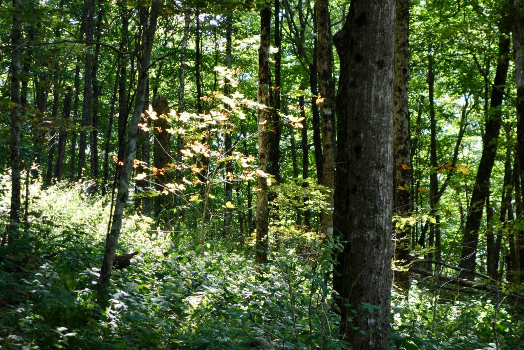
On the BMT past Spanish Oak Gap
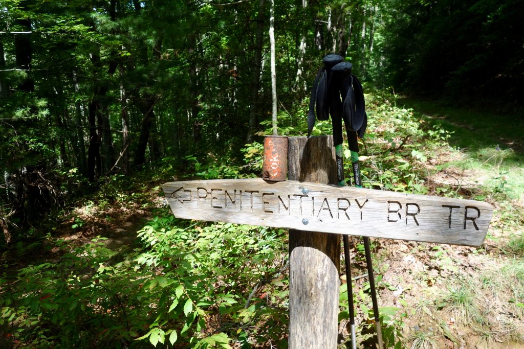
This is one old ass Coke can
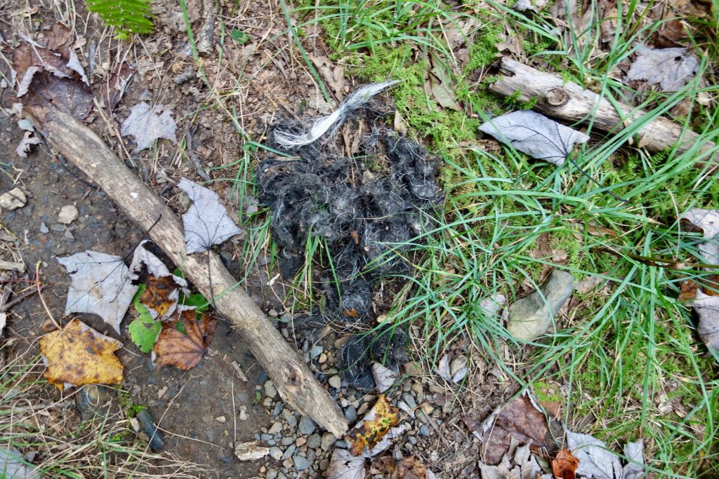
Bear Ball
Fall is coming!
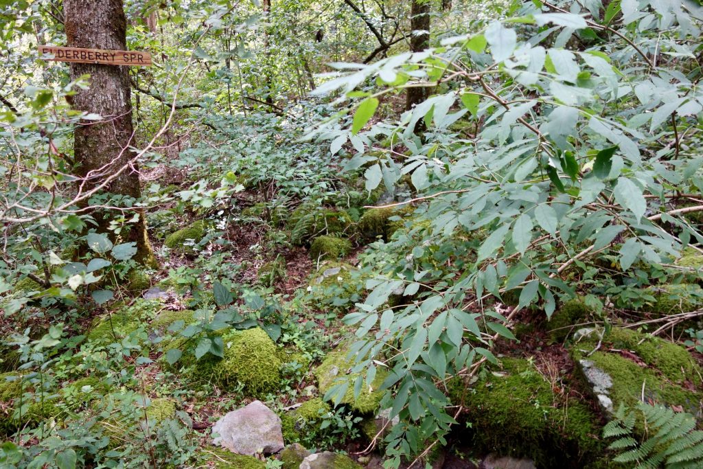
What a quaint sign huh? Wasn’t flowing though…
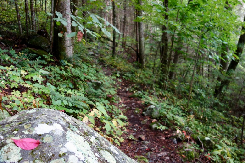
Ahhhhh, now that was a restful night’s sleep. Get up and make yourself a nice cup of joe and some grits as the morning sun settles in. Make your way back to the dilapidated sign when you are ready to hit the trail again. When you are facing the sign, the way down is a hard right into the high foliage that grows here along Wolf Ridge. Look for cut logs to make sure you on this brushy trail until you drop down a bit and it is easier to find for now. The trail follows the top of the ridge here and meanders through some nice open forest. Soon you will enter a flat area with some primitive spots that I call Upper Slate Camp. It looks like there is a spring on the right side of the ridge down a couple hundred feet, but I didn’t check it out. Keep skirting blowdowns before dropping to Lower Slate Camp on the right of the trail. This is one of my favorite spots on this loop, but water may be an issue so carry plenty if you plan to stay on the ridge. From dense foliage, the way now turns into an old road bed. Another trail joins the road climbing from the right. I believe this is the way to the Wolf Ridge TH off FS 221E beyond Grassy Gap. Stay left at this intersection and follow the old road. It switchbacks a couple time making it’s way down hill to TH. Once you get down to the road, keep left and follow it down 3 miles to the Beech Bottom TR located across from a big parking area on the right, you can’t miss it.
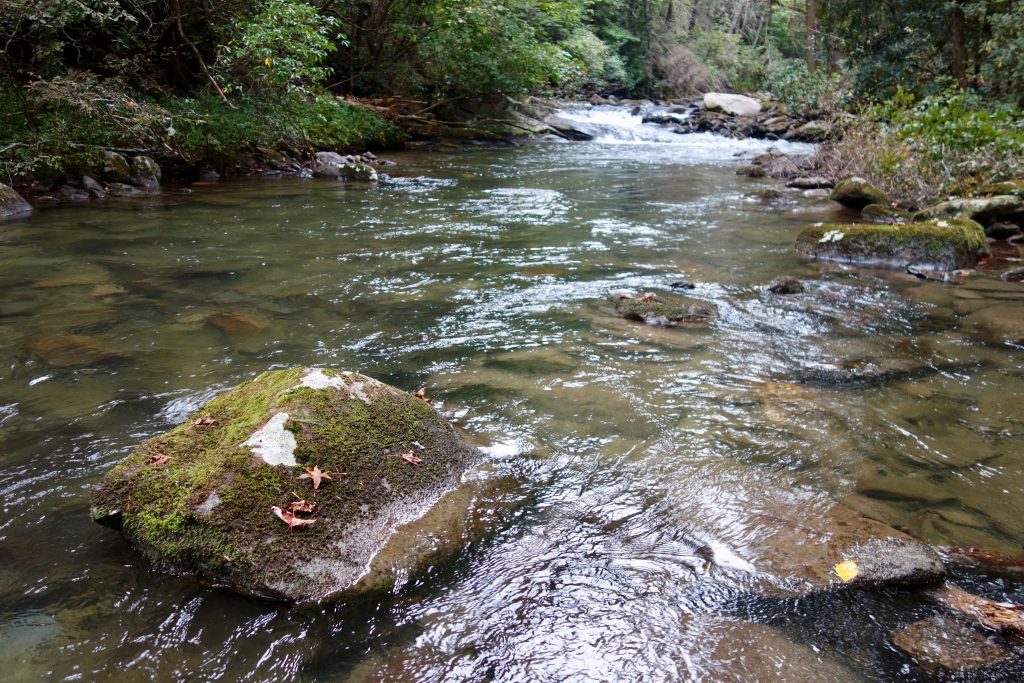
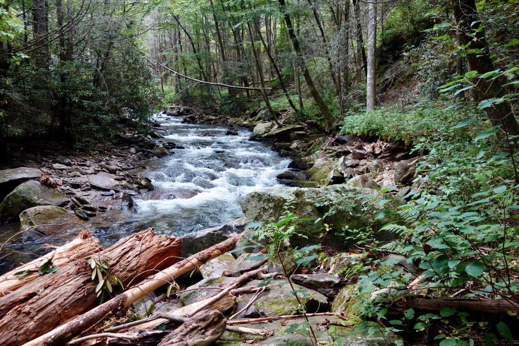
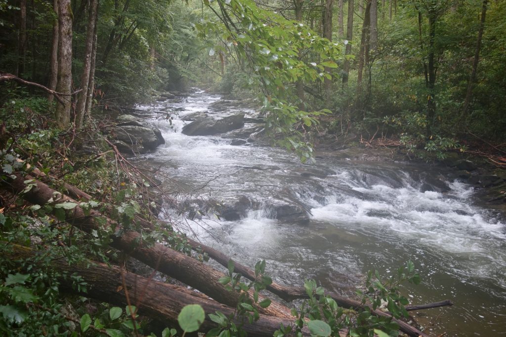
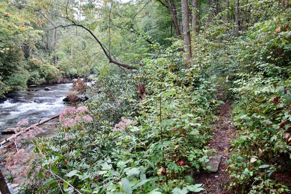
This trail slowly drops on an old roadbed that has not been mainained in some time, so expect to step over a blowdown or two. There are several other random trails that take off in mysterious directions along the way, just stay on the main trail and you will be ok. When you get past a small stream crossing you will soon see a sign telling you about the no camping zone by the Falls, that is how you know you are almost in the Bottoms. Soon you see the lovely Jack’s River, make a left and cross this scenic watershed, the first of 20 in 8.5 miles. Or go right and make the mile and change detour to the Falls and see what all the hype is about, you won’t be disappointed. Most of this trail isn’t maintained very well, but is also not so bad either. There are lots of small logs to step over but the bigger ones (above knee height) have been cut for the most part. Along your way you will discover lots of great camps, so hike until your heart’s content and I’m sure that you will find a nice spot to your liking. Soon you will get to the other intersection for Penitentiary Branch TR, you can take it back to the BMT if the crossings have been scary. Past that intersection you get into the scenic upper Jacks area, this was my favorite part of the trail. Look for an unmarked intersection on your right with a place in the center of the tree and a nail where a sign once marked the now closed Sugar Cove TR. From here on in the trail is better maintained as it easily winds it’s way to Dally Gap. Get back to the TH and enjoy that reward beer and soak in the solitude of this wild area!
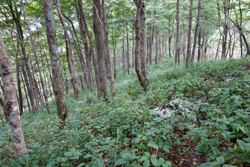
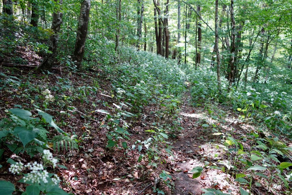
Along Wolf Ridge
Upper Slate Camp doesn’t see a lot of traffic
Lower Slate
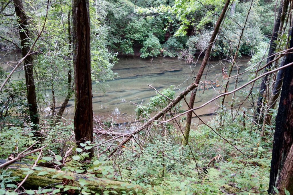
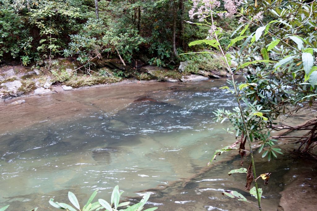
Jacks
Good ol’ Partridge Berries