Weekend Gem: West Cady Ridge Loop

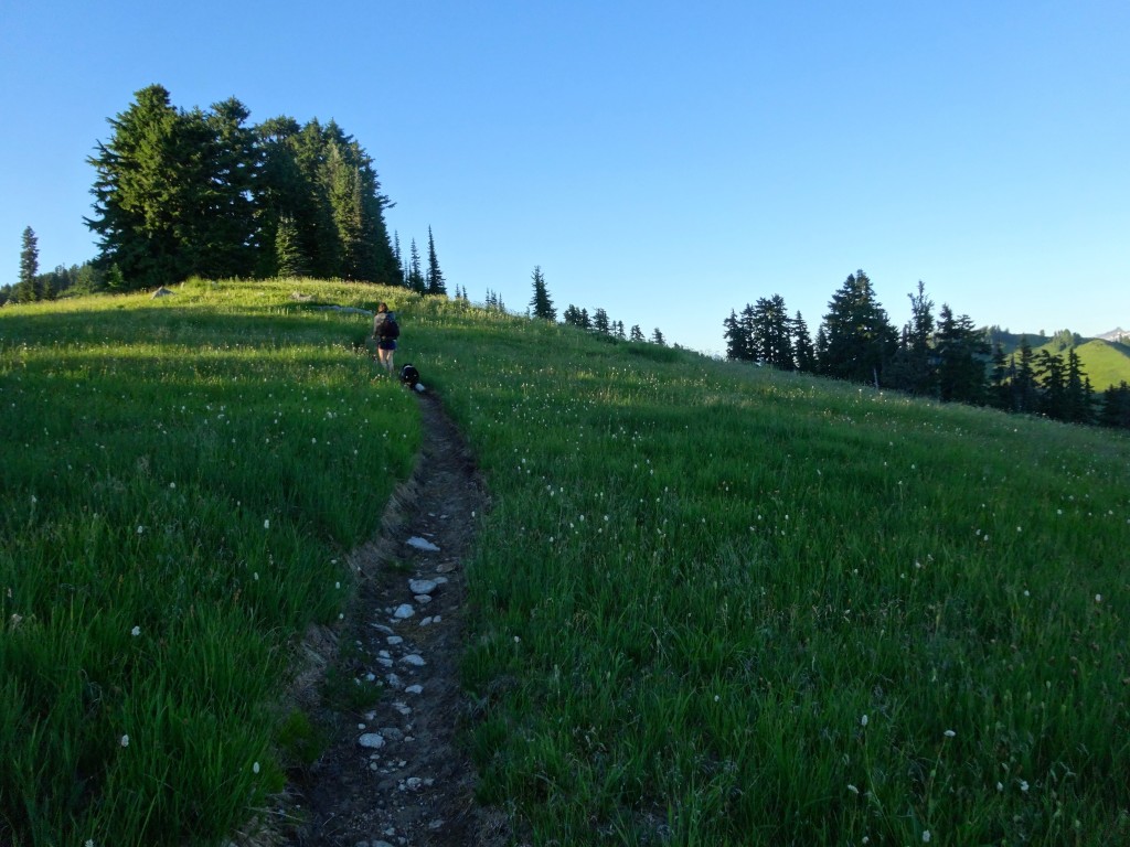
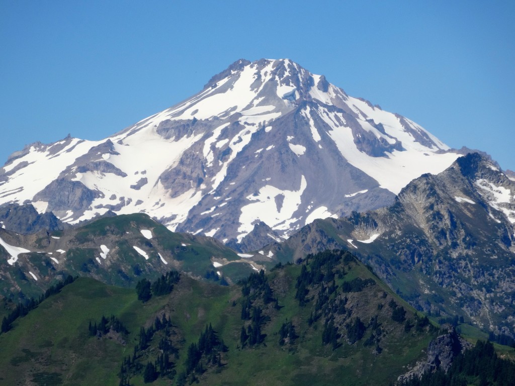
This 32 mile loop stays mostly high on ridge lines, with wonderful views of the Southern North Cascades Peaks while you wander from one flower filled meadow viewpoints to another. This trip is one of the easiest and most rewarding treks in the state, as the elevation gain is gentle, the views are numerous and amazing, and the terrain varied. Take I-5 north to Hwy 2 east and a left onto Beckler Rd. #65 to Rd. 63 which leads to the North Fork Skykomish and West Cady Ridge Trails. Take the West Cady Ridge Trail up the mellow switchbacks higher to the ridge top that has suffered past fire damage, but has since recovered and offers great views up north to Glacier Peak as you ride this gentle ridge of huckleberry and small tarns to a simply stupendous camp in a meadow below Benchmark Mountain. A good spot if you are a beginner backpacker and planned to do this loop in four days not three, or just tired after a long drive.
Now, drop down to the PCT at Cady Pass and revel in your 11 mile day. Tomorrow, head north on the PCT, this section has many small scenic basins like the one on the foot of Skykomish Peak that would be a great spot to take a load off and relax in the flowers. Next up is Lake Sally Ann, which would be a great lunch spot or a chilly dip on a hot afternoon like I did, before crossing Wards Pass then Dishpan Gap before making a left onto the flowery wonders of Bald Eagle Ridge and the wonderful Blue Lake Basin. The trail ascends into the flowers before you make a right onto the Blue Lake High Route, a rocky way trail that climbs up the ridge with views of Glacier Peak, Sloan Mtn. and the Monte Crisco Peaks before droping down to scenic Blue and Little Blue Lakes, one of the best spots in this neck of wilderness. Follow this side trail for 4 miles before rejoining the Bald Eagle Trail and make a right. Once you enter a beautiful, large open meadow, find camp on the left by a mucky stream, a better source lies down trail a bit. Settle in, or enjoy the wonderful meadow before having dinner after your 12 mile day. On your final day, finish off the ridge as it rambles past meadow after meadow before dropping down to Curry Gap and the Quartz Creek Trail, make that left and follow above the creek for 4.2 miles back to your car, an 8 mile day. Get home and pull out a map for the North Cascades and plan your next adventure in this amazing part of the state.


