Weekend Gem: Fires Creek Rim
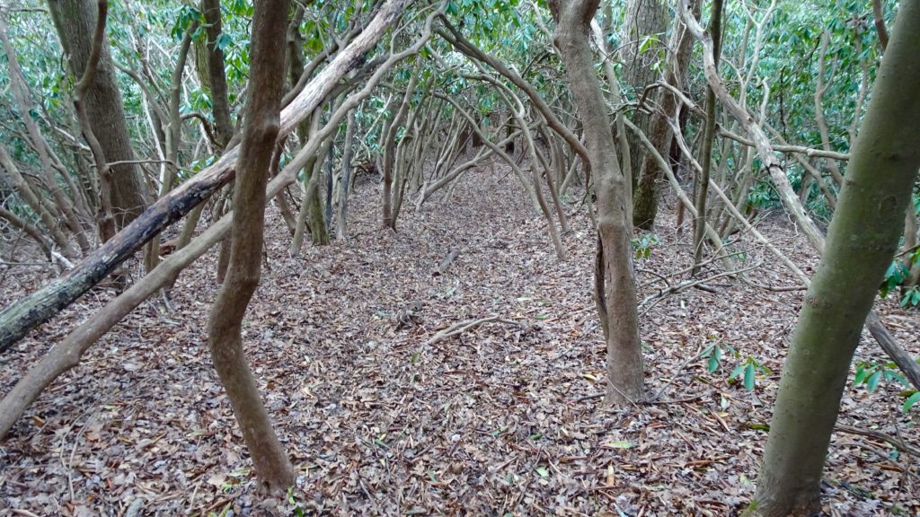
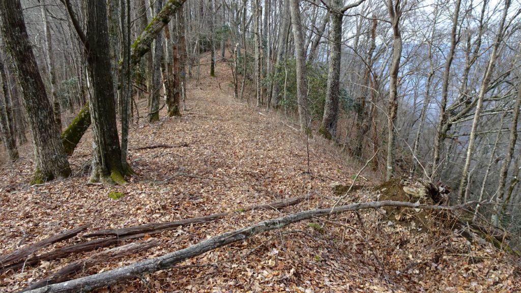
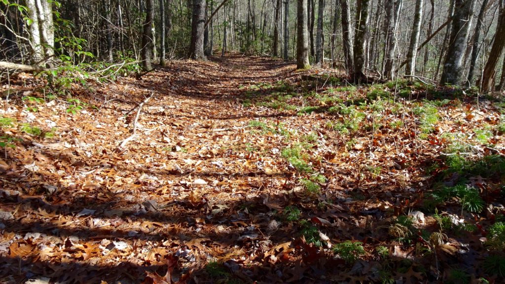
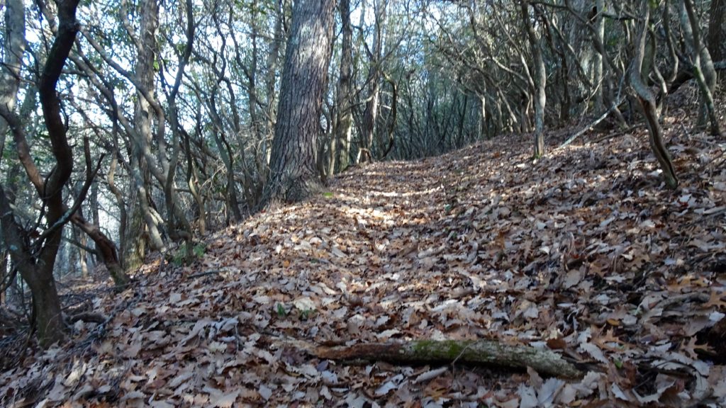
This 30 mile loop is a real winner! Scenic balds, terrific ridge top rambling, great camps coupled with isolation, it is pretty much perfect. I chose to hike this loop counterclockwise because it gets the climb up to the Rim out of the way quicker than clockwise because my knees hate going down super steep these days. Plus, you save the Valley River Mountains for the end which have more water and camps closer to the TH so you get back and get that reward beer stashed in your rig. The water in this direction is a few miles in, so get there as early as possible so you can bust out the climb and get past Squirrel Spring Gap for much needed water. Some jackass ripped down some of the blue blazes on the trees periodically throughout this trail, so bust your map out every once in and a while to check your progress in case they are missing. Remember, this is a ridge trail that stays on top of it so if you start heading down into the valley, you took the wrong split. Honestly, it is not that confusing though so don’t worry about it too much, just score a Fontana and Hiwassee Lakes National Geographic Map and you are good to go!
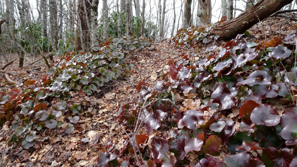
Anyway, start out by driving to the TH located near the small town of Hayesville. Park and cross the road where you pick up #72 and begin your climb. Soon you will traverse the north side of Graveyard High Top and down to Carver Gap and your first marked water source at Squirrel Spring Gap down Trail #76. Stock up on water or camp if you have had a long drive or a less daylight to hike today, it the last good one for a bit. Next, the trail goes up and over several steep knobs and down to a grip of gaps before meeting up at it’s next close water source down TR #386 along Little Fires Creek past Chestnut Stamp Knob. Cruise on up and over Johnson Knob to a nice camp in between Johnson and Matlock Balds. Water can be found a short distance down TR #78 on the left side in a rhodie thicket. Views down south and up to both Balds are quite good from this angle. Rad camps can be found at the intersection or if you have enough H20, you can find a good one on top of Johnson too!
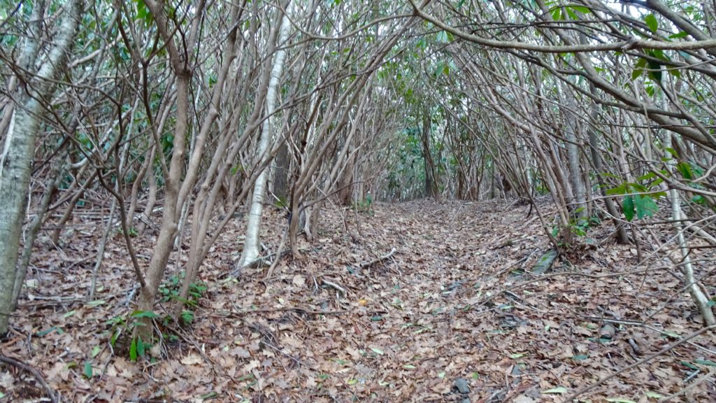
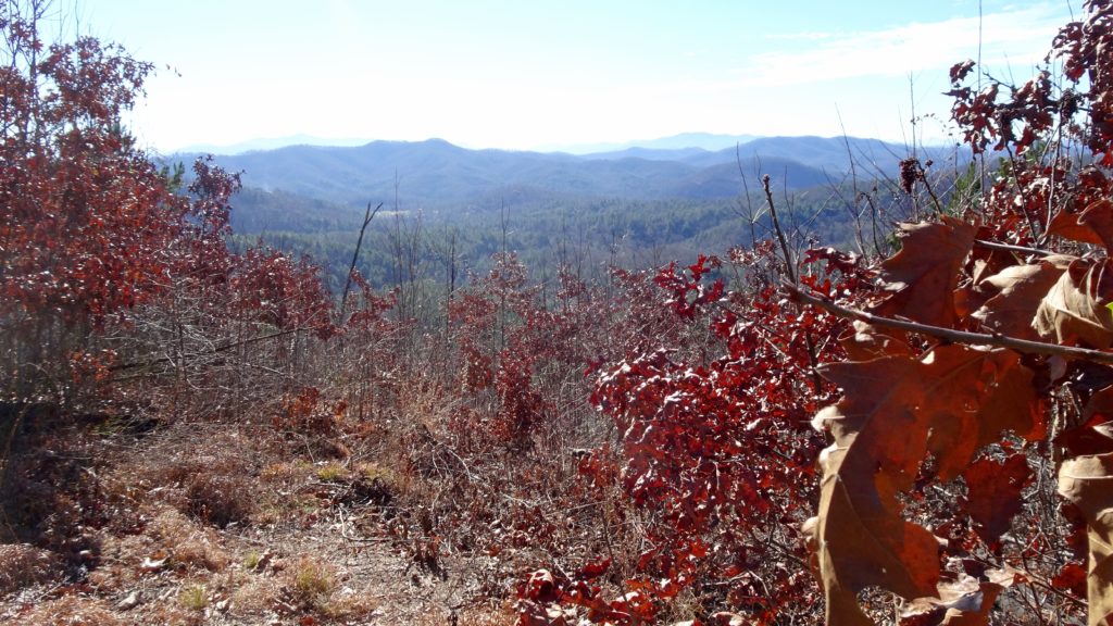
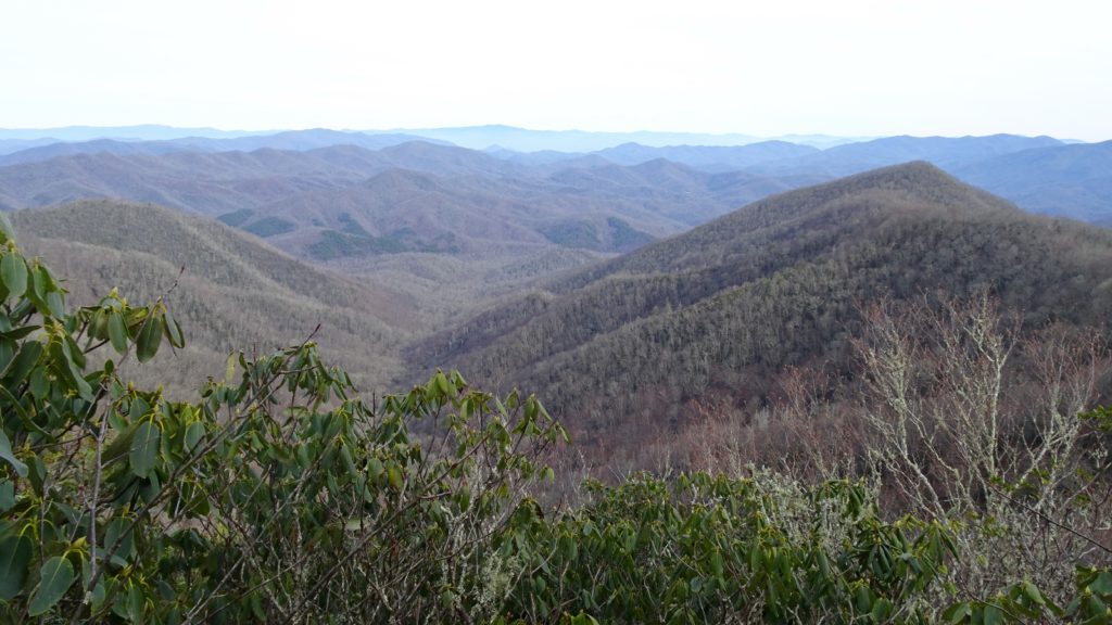
The next couple miles to Signal and Tusquitee Balds were filled with a lot of blow downs from a recent storm that passed through the Carolinas recently (mid December 2018). None of them were in precarious places or posed any danger, just time consuming. Once I rounded Signal and changed slope sides traveling north, the downed trees and bushes dissipated. Views along this connector ridge between the two ridges of mountains were stupendous in this section. Cross onto the Valley River Mountains Crest after Watchman Bald near Sassafras Knob where satisfying views across to the Tusquitee Mountains can be found. There is a lot more water/camps and easier ridge walking on this side of the loop so you can have a more freewheeling approach to your day. I found all the water sorces on my National Geographic Map were running nicely. The short climb to Beal Knob reveals a startling profile of Defeat Knob which is not that bad of a climb after all. Traverse some small ups and downs before climbing to Whiteoak Knob where a nice camp can be found on it’s far side. Slowly head down to the road at Big Stamp and keep on trucking to Will King Gap and up Big Peachtree Bald where the best, but dry camp spots are. Cruise across to Shortoff Knob to discover a most pleasing little camp by Leatherwood Creek. Here an unmarked intersection keeps going along the Crest if you choose. Head on down into a burned area where views down south and your entire route can be easily seen.