Weekend Gem: Mt. Rogers Loop 2023
Grayson Highlands State Park
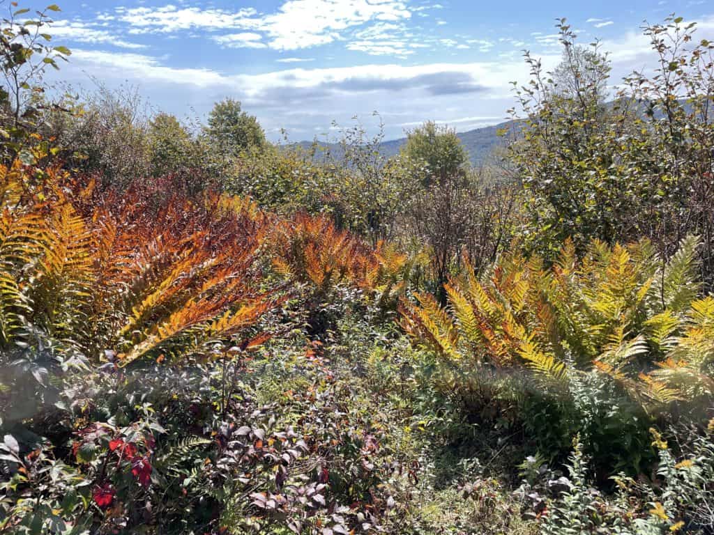
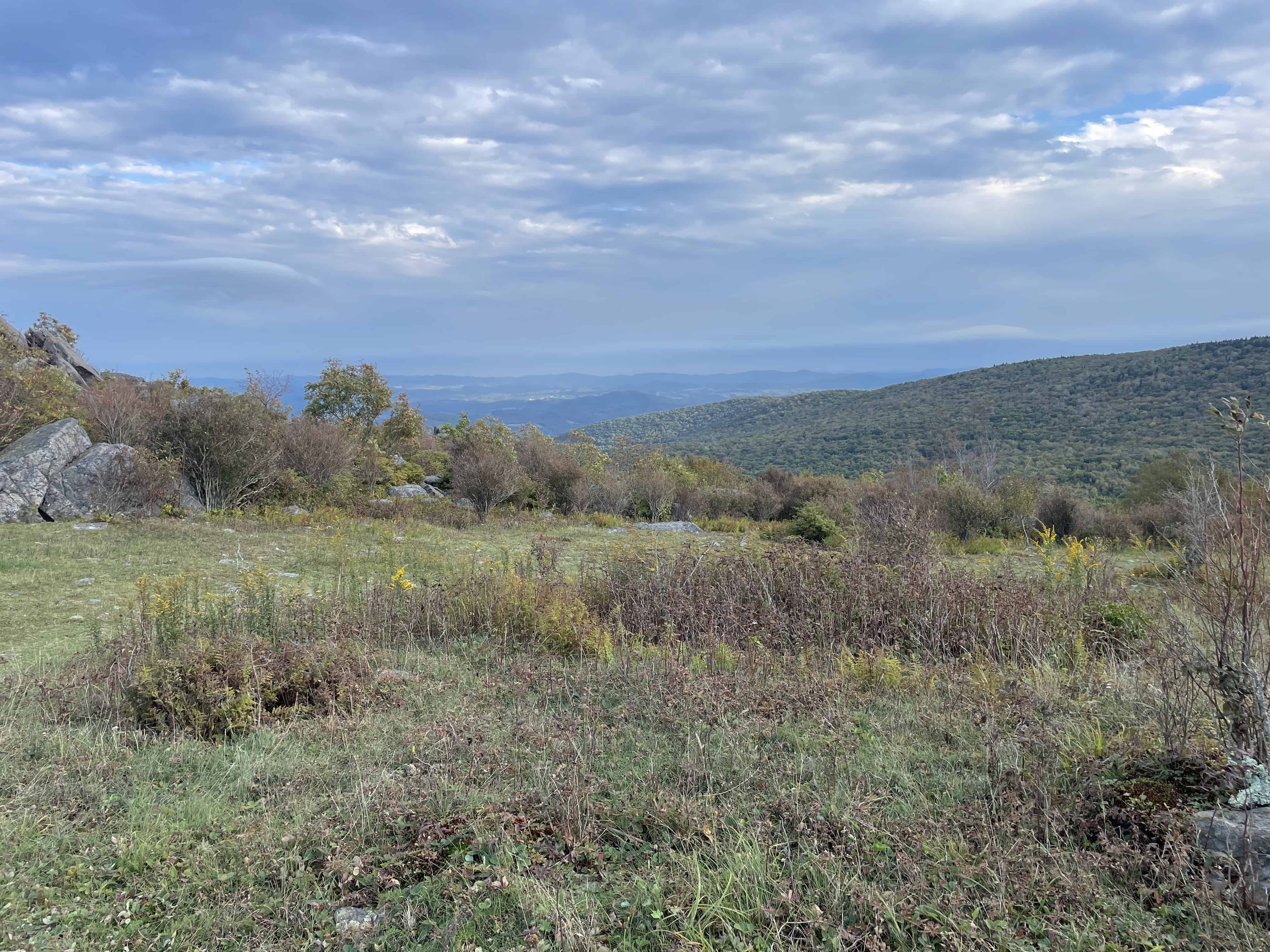
Wow. Miles of meadows with wild ponies hanging out under the sun. High grassy corridors with laurels of warm tones in spring can be found in this magical section of the A.T. In the fall, golden yellows and reds highlight the finer features of this unique landscape. There are two ways to attack this 21.1 mile trek, hike it counterclockwise and climb 2500ft. right off the bat to the summit of Mt. Rogers and then, more or less, cruise downhill for the rest of the trip. Or, do it the other direction and slowly climb most of the trip and then hit cruise control on a steady downhill back to your rig. We did it this way and it was a lot of fun, but the other way sounds tempting for next time. Anyway you slice it, drive to the TH as you enjoy a lovely breakfast sandwich. Get out and get loose and limber on the Fairwood Valley TR that parallels the road for a bit. All and all, it is a pleasant trail that sometimes ducks away from the road for a spell so it doesn’t suck to bad. At the intersection for the A.T, make a right and hop onto this legendary starch of trail as it makes it’s way up to the Old Orchard Shelter. As soon as you jump on the Appalachian Trail you notice the character of the landscape change and get a more epic feel. Cross over a few tricklers in nice, open forests of hardwoods as the rolling landscape unfolds to you. Before long, you are at the Shelter that boasts nice campsites in small clearings before the structure. Pick a winner and settle up for a great night under the stars, what could be better eh?![]()
![]()
![]()
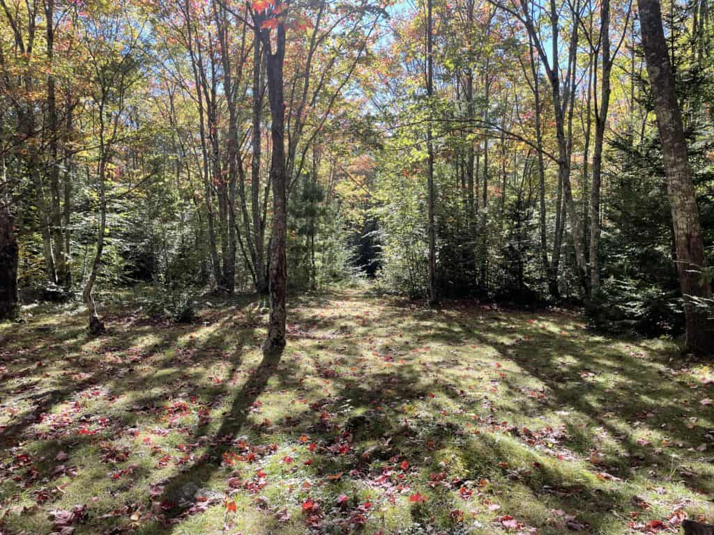
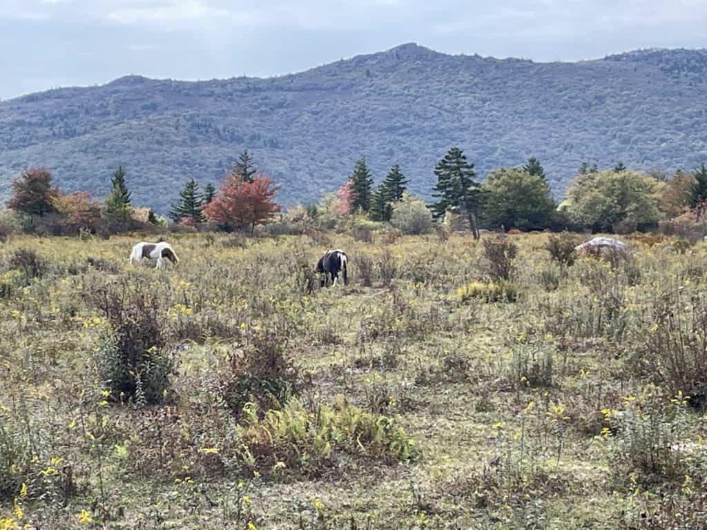
Sunny Old Orchard
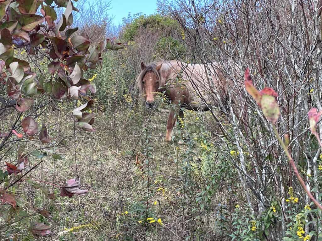
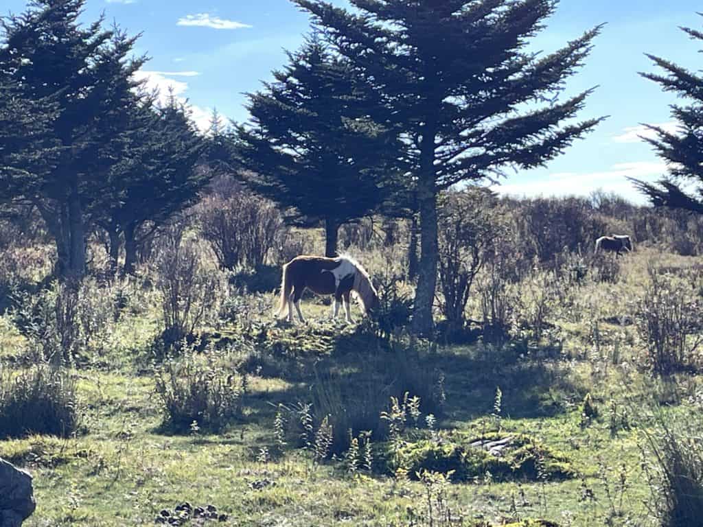
After a nice night, get up and fix some cups of joe and spicy grits. Pack up your gear and hit the trail as you begin your climb into the fenced areas that ponies livc. On this trip. these critters were not as plentiful as past trips for whatever reason? After you enter and leave a couple of these fenced areas, you will begin a short decent to Scales, a car camping area and TH. This is a rad option if you can’t backpack or you want to lounge out instead of covering the miles. I will tell you that the ponies around Massie or Scales act like domestic animals in those areas, so if you want a more organic experience it’s backpacking or bust. After another short climb, you are up on Stone Mountain, which is my favorite area of the loop. With small clusters of trees and ferns and meadows for miles, you are almost certain to be ponies up in here. Keep your eyes peeled because they are usually a short distance from the Trail or on the slopes around this flat expanse. The across to the other table top-esk mountains like Pine are plentiful and delicious from this vantage point. After a couple of fenced in areas where ponies can be found, begin the decent to the Wise Shelter, located in a lovely clearing with big boulders around. There is nice camps a short distance from the Shelter in the pocket meadows. The chance for a pony sightings in this area is also good. I saw a mom and it’s little one here before! As we went by, she nodded to the philly and it laid down in some tall grasses for cover. It was a amazing moment in time to spend with these noble critters for sure! Descend again to Quebec Branch and follow it for a bit. This your last reliable water before climbing above Massie Gap, so stock up. Camp spots here are ok to use on the right of the Trail, but the ones closer to the stream are part of Grayson Highlands State Park and are not available for camping. After crossing Quebec on a foot bridge begin a sturdy climb up to the exspance where Massie Gap is. This area is cool. but also tourist hell, so get to stepin’. Hike past the weird domesticated ponies and accend up Wilburn Ridge, which remind me of what the Scottish Highlands must look like. This area is rad, so take your time as the views are great and the tourists are few and far between. When the climb mellows, Rhododendron Gap comes into view. Select a camp spot in the woods or meadows, either way offers good views and ponies. The water is off the Gap Trail in the center of the big meadow.
Pony time!!!
Yup
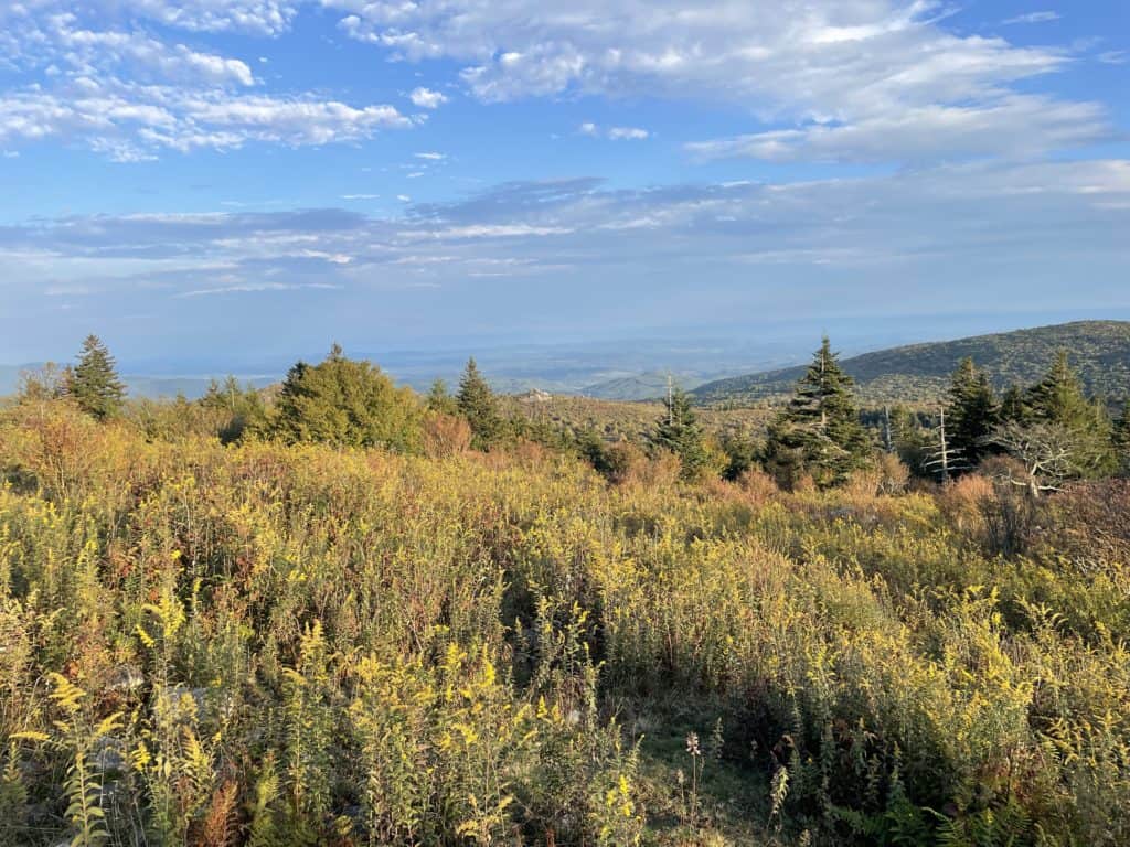
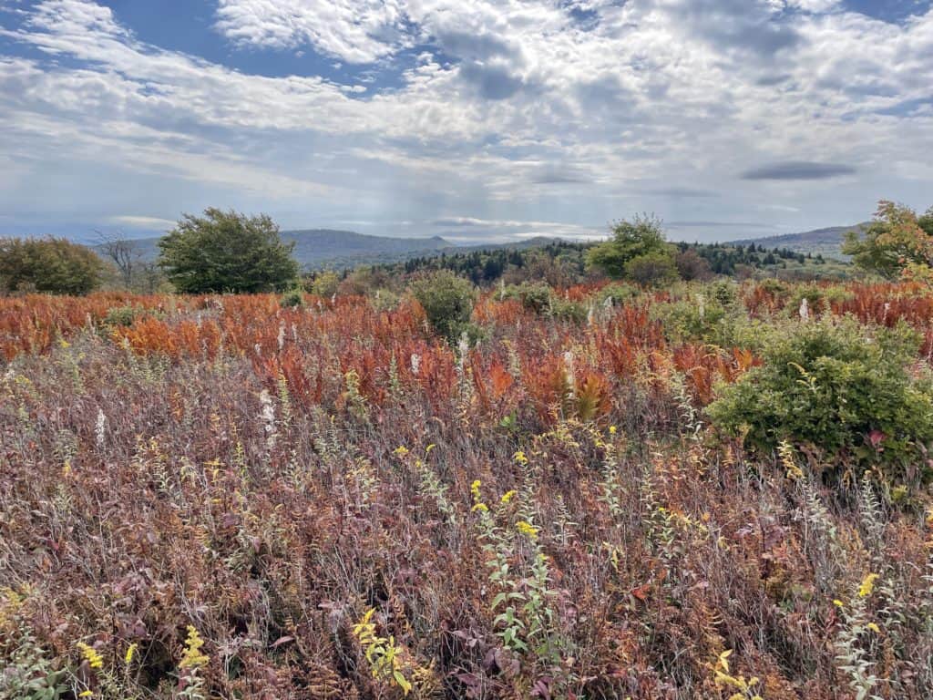
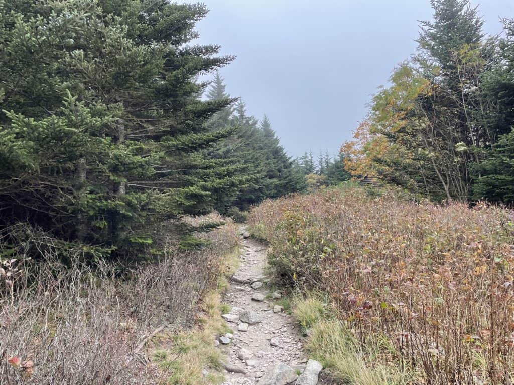
Stone Mountain
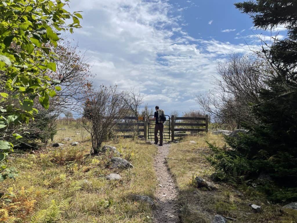
Climbing up to Massie Gap area
A good night night sleep is had as we wandered around in search of ponies. We enjoy a lone straggler as we sip our coffee and eat grits. You will discover today’s hiking has little climbing and is mostly flat or downhill. The views down south into the Appalachians are amazing in this section and worth a break or two to soak in the goodness. Next up is Thomas Knob Shelter which sports lots of great camps and water is Rhodie Gap is too busy for your taste. Soon you will come up to the short .5 mile side trail to Mt. Rogers. This is the highest point in Virginia, but has no views sadly. However, the Trail is very lush with carpet moss lining it’s edges. Rocks and logs appear to be swollowed up entirely by the green mass, damn I love nature! Once back on the A.T. you will descend steadily to Deep Gap where the wind of the ridges finally stops. Jump off the A.T. and make a right onto the Mount Rogers Trail. This Trail drops way down until it flattens out on the valley floor. At this point you are almost back to your car. Soak in the last bit of wilderness goodness before getting to your rig. Now it’s time to change into some shorts and sandals and pop open that glorious reward beer. Cheers to the Highlands! I will be back…
Morning pony at Rhodie Gap
Near Thomas Knob
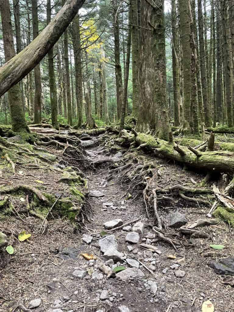
Mount Roger’s green goodness