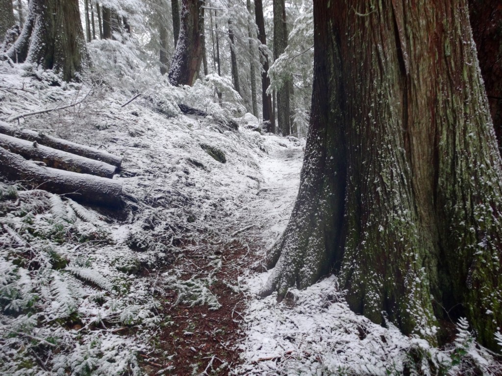
Where’s the snow at?

![]() In spring as the snow melts, I like to transition to more mountain trails at higher elevations. The trick is where does the snow start in a given area? What slope side holds more snow at that time of year? You can call the area’s ranger station to try to get the scoop, but in my experience they are short staffed/unfunded and most of the time no one there knows what the story is, even the backcountry rangers. Of course, it is not their fault, I am sure if they had the funds/time, the rangers would love to spend more time in the mountains and not behind a desk. By the time mid July rolls around, trail crews usually hit up the more heavily used areas and do wonderful work to keep the trails safe for wilderness travelers. But what can you do to keep your exploring needs in line as temperature rise? I check trip reports on Oregon Hikers, NW Hikers and WTA’s sites and cross-reference it with info from SNOWTEL cameras. Then I roll the dice, and give a higher trail a shot and pack accordingly, it usually pays off. Also, read Freedom Of The Hills, which is an amazing resource for info about this subject and much more. The general rule is that west and southern facing slopes melt out before north and east facing ones, but of course it depends a lot of temperature, sun exposure and elevation. So, pull out your maps and give an area a shot, but have a backup plan like a lower elevation river valley you can camp in if the snow gets deep. Maybe you can have a more interesting trip and push the envelope this spring and give that Eagle Creek campspot a miss, it needs a break.
In spring as the snow melts, I like to transition to more mountain trails at higher elevations. The trick is where does the snow start in a given area? What slope side holds more snow at that time of year? You can call the area’s ranger station to try to get the scoop, but in my experience they are short staffed/unfunded and most of the time no one there knows what the story is, even the backcountry rangers. Of course, it is not their fault, I am sure if they had the funds/time, the rangers would love to spend more time in the mountains and not behind a desk. By the time mid July rolls around, trail crews usually hit up the more heavily used areas and do wonderful work to keep the trails safe for wilderness travelers. But what can you do to keep your exploring needs in line as temperature rise? I check trip reports on Oregon Hikers, NW Hikers and WTA’s sites and cross-reference it with info from SNOWTEL cameras. Then I roll the dice, and give a higher trail a shot and pack accordingly, it usually pays off. Also, read Freedom Of The Hills, which is an amazing resource for info about this subject and much more. The general rule is that west and southern facing slopes melt out before north and east facing ones, but of course it depends a lot of temperature, sun exposure and elevation. So, pull out your maps and give an area a shot, but have a backup plan like a lower elevation river valley you can camp in if the snow gets deep. Maybe you can have a more interesting trip and push the envelope this spring and give that Eagle Creek campspot a miss, it needs a break.
